2180miles
  • Home
  • Adventure Blog
  • Overland
    • Meet The Jeep
    • Mods & Installs
    • Overland Gear
    • Trip Reports & Videos >
      • Allagash Winter 2019
      • Greece Adventures 2019
      • Overland Expo East 2018
      • Allagash Wilderness 2018
      • Trans-Canada Overland 2017
      • QB-5 Adventure 2017
  • Long Trail
    • Trip Summary
    • Photojournal
    • Hike Statistics
  • Appalachian Trail
    • Trip Summary
    • Photojournal
    • Gear Talk
    • Hike Statistics
    • Financial Planning
  • Bicycling America
    • Trip Summary
    • Photojournal

Far Better to Dare Mighty Things

1/1/2017

10 Comments

 
Well folks, Happy New Year. Forewarning, this isn’t a something I’m thrilled to post and it was exceptionally difficult for me to write.

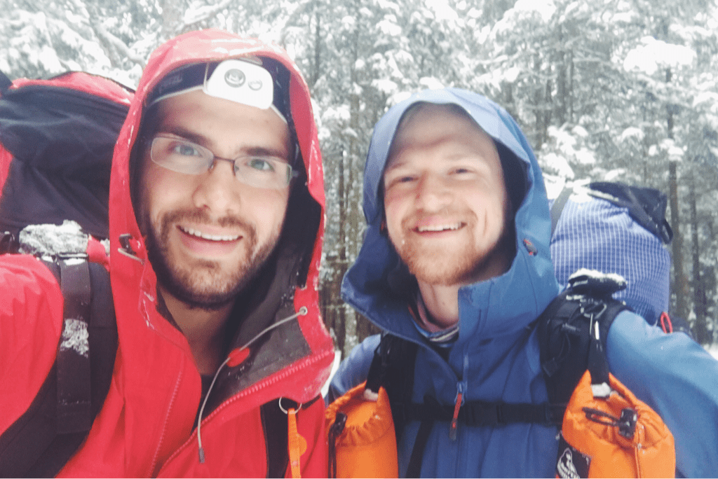
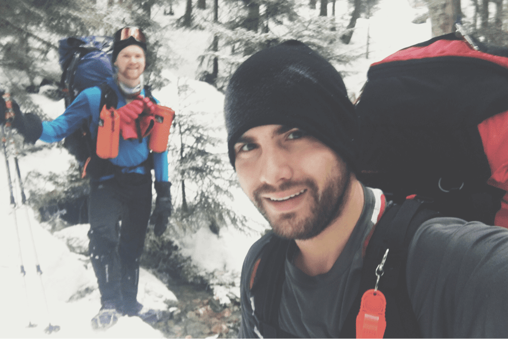
It is with a heavy heart that I inform you that yesterday morning Santa and I got off the trail for good. It’s most important to first note that we were not driven off by the nor’easter that came through Vermont at the end of last week. We were not underprepared, we were not physically incapable, we were not naïve to the terrain ahead, we were not, and are not, intimidated by the mountains and what they held in store for us. Friday night my hiking partner and dear friend Santa spoke to me regarding his thoughts on our hike as it stood. He voiced concern for his current mental health and happiness, noting that the distances we were covering in order to attempt to finish in Canada in a mere 15 days were wearing thin on him and his decision making abilities while hiking. His timing in bringing it up after leaving Killington was intentional; we both were one hundred percent comfortable with our gear and abilities to hike out of the warm environment at the Inn and face the weather that was headed our way. I think, though I never had any doubts, we needed to know for ourselves that we could do it.

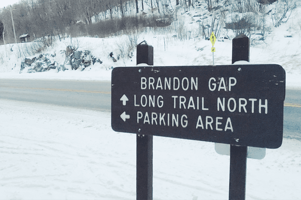
After the first fifty or so miles of trail I was often in the range of manageable pain while we hiked, my right knee claiming most of the responsibility for discomfort as the trail twists on steep climbs and sharp rocks jut out under the snow as we move along. I can’t break the remaining 150 miles of snowy trail on my own, nor would I ever be comfortable attempting to cover the rest of the distance without a trusted fellow hiker like Santa. As luck would have it my mom was visiting a family member in western Massachusetts this weekend and was able to drive north to pick us up from Brandon Gap on Vermont’s Route 73 on Saturday morning. After long discussion and careful consideration he, partially me, and therefore we, are done with our attempted Long Trail thru-hike this winter.

I’m struggling immensely with this decision and have been since the moment I got in the car, but there are a handful of things I keep reminding myself of: primarily the facts that we didn’t quit, and that we most certainly didn’t fail. As a team we were not operating at 100-percent and the trail that lay ahead would be the most snow covered and difficult terrain yet. To go into that knowingly having hesitations on either of our parts would be a detrimental and perhaps dangerous mistake. In the nearly two weeks we spent in the woods we faced sub-freezing temperatures all but one day, sub-zero temperatures on two nights, and three days of heavy snowfall, the latter two a result of a major winter storm. When I struggled internally with the trip I would remind myself regularly that it would be “only _____ more days”... Only two more weeks in sub freezing temperatures and fighting through nearly every one of the 35,000 steps I take each day, but the desired/required mileage may very well have been out of our reach in the more challenging northern sections of trail. I’d liked to have finished, I’m driven to a fault, to a point where I’ll probably always regret not going down with my fists swinging. All that being said, the bigger and more pride inducing fact is that we covered 125 miles of the Long Trail, just under half of it’s total length in phenomenal time. I always say that it’s important to know your exits, and I believe this was a true example of that.

If you live an ordinary life, all you’ll have are ordinary stories. We went out and challenged winter and ourselves in the surprisingly secluded mountains of Vermont. It should go without saying that this awesome 100+ mile trek will serve as a phenomenal basis for an adventure/trail I’ll have to finish in the near future. I’ll conclude this by noting my most sincere gratitude for your unwavering support and enthusiasm with all that I do, and the hope that you’ll join me again on whatever journey comes next.

Onward & upward.

Texaco


​
Picture
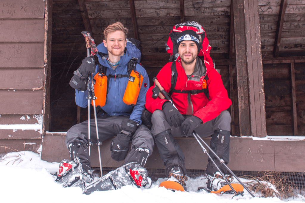
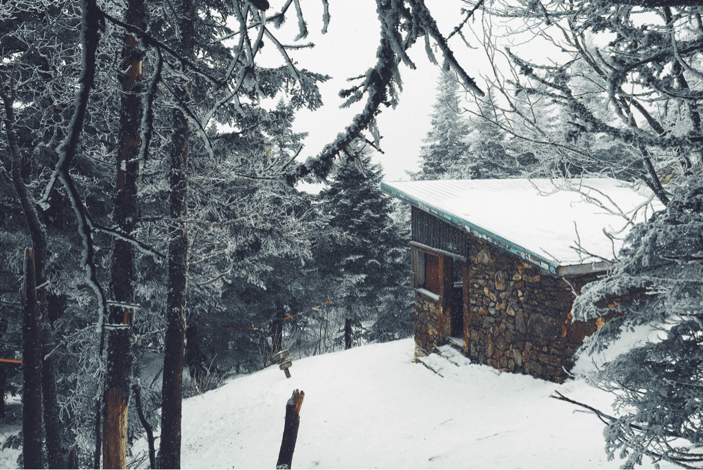
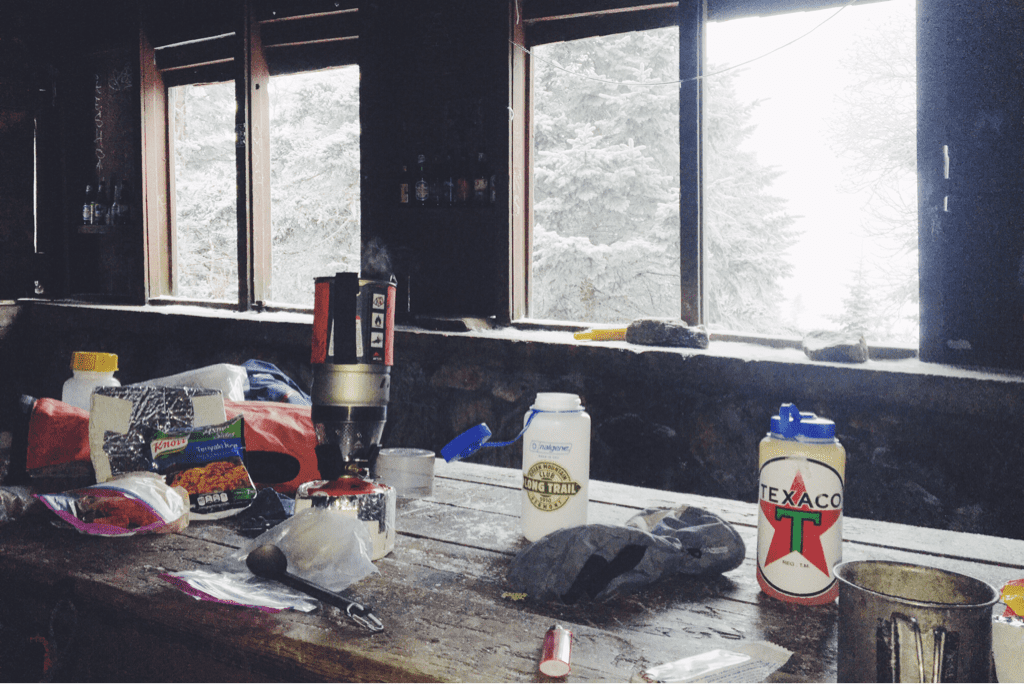
Sunrise Shelter, mile 123.2 - 12/30/2016
10 Comments

Slow & Steady

12/31/2016

2 Comments

 
Day #12
Mileage: 8.8
Long Trail Mileage: 124.1
Time: 9 hours
Day / Night Temp: 28 / 19 F
--
Our port in the storm worked wonders last night, keeping us out of the elements and warm as another 4+ inches of snow fell on the forest floor around us. Due to our location on the inside slope of the ridge, however, we were exposed to very little cross breeze which in turn with our body heat created a fair bit of moisture inside the tent and on our sleeping bags. While the snow subsided around midnight, it picked up again around 0330hrs, the noise of flakes hitting the tent waking me from an otherwise dead sleep. From then on the night and any hope of quality rest was lost on me. Around three hours later Santa awoke, encouraging me to get up as well so we could get started on the day.

Packing up the tent and all of our gear proved rather difficult to do as the second coming of the winter storm fell directly on top of us. Cold wind made itself present, and we hurried to pack the tent up and get a move on. The plan for the day was an ambitious thirteen mile trek to the Sucker Brook shelter. After putting on our gloves and frozen shell jackets, we began searching for the nearest white blaze that marked the Long Trail's path north. It took only a few minutes before we found such a thing, faded but present nonetheless on the bark of a birch tree a mere 25' uphill from where our tent was set the night before. We had been so close to the trail, but in the pitch black of night with snow flying sideways and headlamps glaring back at us in the reflection of said snow, there was no way we'd ever have found the blaze nor the trail. This began our game of searching out the woods for the trail itself; with the help of ambient light from the sun as it rose above the ridge line we followed the curvature of snow that is unmistakably the trail as it wound through trees and over hills. Despite every ounce of energy being devoted to hiking and route finding, it took us nearly 90 minutes to arrive at the side trail for the David Logan shelter where we had intended to spend the night before. There is no way on earth we would have made it there in the dark. Having no water left due to our emergent place of residence the night before, we pulled in to eat an early lunch and fill our water bottles. Scoping out the shelter's nearby streams we discovered them both dry, realizing that for the first time in our 116 miles of trekking, we'd need to boil snow to hydrate.

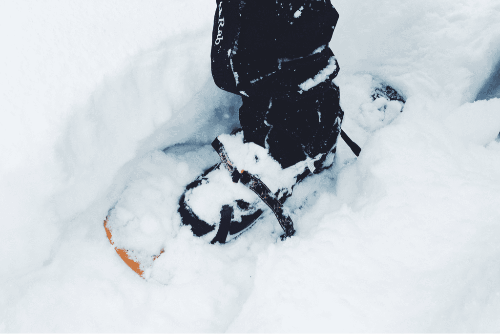
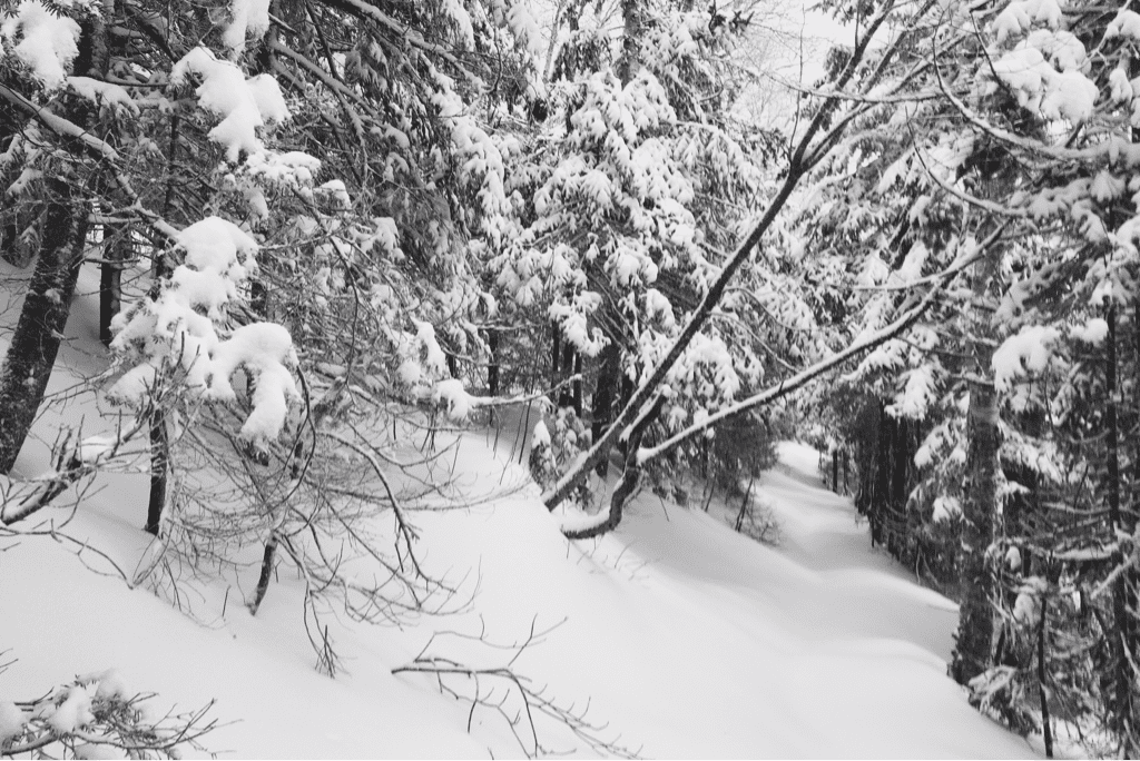
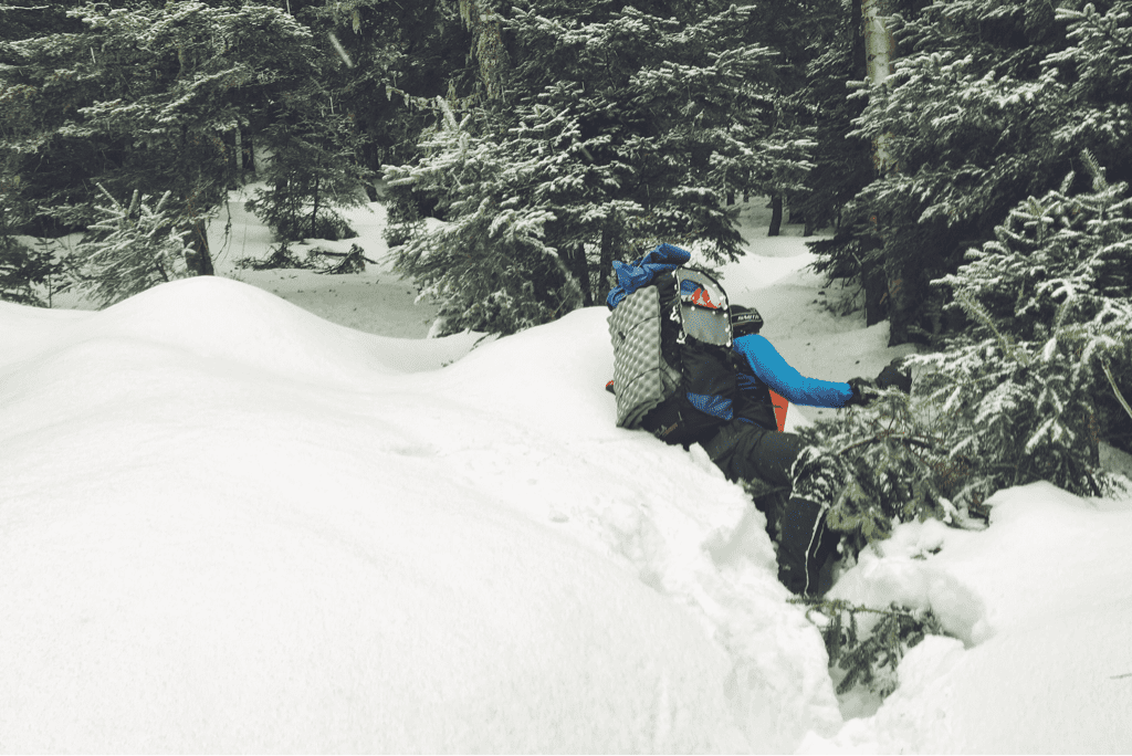
It took us an hour to refill our water supplies and eat, something I wasn't thrilled about given the 8.8 remaining miles to the road gap where we intended to end our day. We packed up and moved back out, following the shelter's steep side trail 0.2 miles uphill to where it had departed from the LT. Immediately we continued climbing, gaining a few hundred feet of elevation through densely packed snow. This began an entire day of difficult, at times miserable, hiking as we progressed north on the trail. Some sections of the Long Trail are incredibly steep, some are cut into the side of a mountain with very little room for a misstep before you risk tumbling down into the oblivion that lies below. We traversed both these kinds of trail, every so often balancing them together as we carefully made our way up the trail. The snowfall depth varied depending on where we were on each mountain, from 8-10 inches deep along the ridges to upwards of 30 inches deep on the steep pitched inclines. Sometimes I would reach my trekking pole out into the snow to catch the weight of my body if I tripped, only to find almost the entire pole disappear into the snow beside me. Each step in my snowshoes was part of an exhausting battle to move forward, and we slowed to an incredible 1 mile per hour as we moved along.

The afternoon passed at a confusing rate, the time seemed to fly as our mileage moved like molasses. We were frustrated with ourselves for the speed, wondering aloud how the LT would be to traverse in the fall when the trail itself was easier to follow. Despite the frequency on other days to talk almost incessantly, we moved along in near silence today, respecting each other's seeming need without any prior arrangement. We crossed through the woods as the trail slowly became more easy to navigate, flowing through pine and maple trees with a wide berth that made it quickly distinguishable versus the rest of the forest we were in. Santa and I alternated breaking trail throughout the day as the trail continued to climb in elevation, crossing over a half dozen well groomed snowmobile trails as they wound through the same mountains we went over.

Around 1530hrs we crossed by Bloodroot Gap, marking our initial descent down from the 3,300' ridge to the gap below where Route 73 cuts through the mountains. We had only 2.4 miles left in our day, though the miserably slow mile an hour pace we had been pushing hard to move at made me hesitant for how long the remaining distance would take to cover. Thankfully we soon learned that the area was also popular to cross country skiers, and the LT's route down the mountain had already been well packed from skis despite the heavy snowfall in the last 24 hours. We flew down the gradually descending terrain, making it to the Brandon Gap parking lot where we planned to spend the night around 1645hrs, the tail end of daylight.

Today was difficult, blanketed with snow and constantly subject to more falling, but ultimately was not impossible (or impassable for that matter). Compared to previous days we covered a small amount of mileage and that fact is slightly frustrating, but I take a step back and realize we've just hiked 23 miles, through tough terrain, over a two day winter storm in New England.

Every day we do our best for one more day.

Tex

​
Picture
Picture
Picture
Picture
Picture
Picture
2 Comments

Whiteout

12/30/2016

3 Comments

 
Day #11
Mileage: 11.2 (plus 1.4 off trail)
Long Trail Mileage: 115.3
Time: 8 hours
Day / Night Temp: 28 / 15 F
--
While the Inn wasn't home to the most comfortable bed in the world, the warmth of the wood stove was everything a cold hiker could ever have asked for. I woke around 0700, beginning to pack my new food supplies into my bag as Santa joined me by the fire to do the same. We were expecting snow for 1000hrs, and aimed to be on the trail at that exact time. Breakfast was held in the Inn's dining room, a delightful dish of homemade French toast with watermelon, bacon, hot chocolate, and orange juice. With the meals included in the room cost, the Inn turned out, I believe, to have been an excellent place to stay. We returned to our room to finish packing, checking out at 1000hrs on the dot and shouldering our bags just as the snow began to fall.

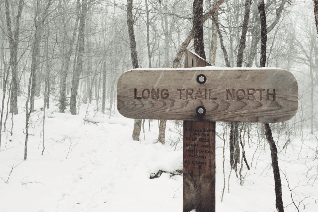
The day's plan was a rather simple elevation profile, a few climbs of 4-700 feet each, with what looked like some ridge walking in between. It took a 1.4 mile hike to get back to the Long Trail itself from the Inn, at which point we hiked until we came across the Maine Junction, the point where the Appalachian and Long trails split having had shared blazes, shelters, and exact trajectory for the last 105.5 miles since the Massachusetts border. We triple checked the signage, being sure to choose the right white blazes for our trip north (the Appalachian Trail splits east towards New Hampshire at this junction) and stepped foot into the Long Trail with our sights set towards Canada. Having hiked the AT in 2014, it was a near realization that from this point forward every step was on a trail I had never traveled before. I no longer knew what was around every corner, the tricks to each shelter, etc; it was a freeing feeling of sorts.

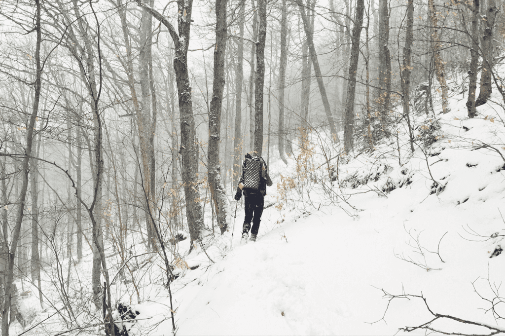
As we hiked the heavy snow of the nor'easter continued to fall. We had on our shell jackets, hats, gloves, and goggles to protect ourselves as the snow and wind blew in sideways and seemingly every other direction. We knew the Long Trail would be marked less, so we paid a lot of attention to keeping the right targets in scope, following the right indentations in the quickly falling snow, to stay on track. Had we not been previous thru-hikers, I don't know that we would be as good at following a difficultly marked trail in such heavy winter conditions. Climbing through the hills on the ascent out of Killington, we reached the Rolston Rest shelter around 1245hours, having made great time since leaving the inn, despite the weather conditions. We made the break short, knowing there were still 7.8 miles left in the day and hiked back into the snow having eaten a power bar kind of lunch. The terrain from the shelter climbed a good 500 feet, not the most difficult but not the easiest as we stopped every 100 or so paces to verify our existence on the trail itself. Whereas the Appalachian Trail is packed down from thousands of travelers, the LT has very little depression in the ground making it far less obvious to follow. Best we could tell, the last hikers through this section were our friends Mariposa and Violet who we met towards the end of our AT thrus, who had attempted to finish the Long Trail from Killington to Canada just over a month ago. We were on our own in finding the way.

As we climbed up it became apparent that the original LT is a completely different beast from its AT sharing section. The 'ridge' we anticipated walking on was actually an 18" wide path cut into the side of a 45 degree vertical slope with very low margins for error. As the heavy and wet snow continued to fall, each step was taken cautiously with an ankle rolled to match the pitch of the terrain and keep us upright. Downed trees were everywhere and we found ourselves climbing over or under them as they sprawled across the narrow trail, having no option to go around simple due to the angle of the terrain we were crossing. We gained and lost little bits of elevation here and there, continuing to walk sideways to the mountains, and eventually came out to a snowmobile trail crossing where the trail cut across after a few hundred feet of road walking.

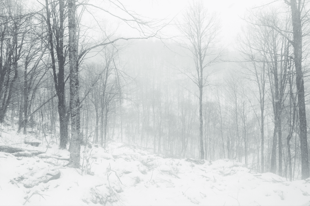
The sign marking the Long Trail's reentrance into the woods was comedically propped up against a tree, pointing in directions that had no actual bearing on the trail itself. We were left to search out the 'trail', covered in 12+ inches of snow, from the forest of white frosted tree trunks that lay before us. We used the GPS to verify the coordinates after wasting a few precious minutes trying to find it on our own, and were eventually back underway, again carving into the steep hillside as Goretex shells began to look wet, a hint at just how much snow was falling (and melting) on them. The drive to make it to the David Logan shelter where we planned to stay the night became even greater. At one point as we hiked this narrow trail on the slope of the mountain, my left foot slipped on a snow covered patch of ice, sending me toppling off the trail and down the incline a few feet before catching my foot on a tree and self arresting. I came down hard on my already pained right knee, and Santa stood on the trail above me asking what he could do to help. We slowly got me back on the trail, cautiously carrying on with less momentum than before. Our speeds slowed dramatically with the weird terrain and increasingly bad weather. As sunset happened somewhere far behind the thick grey clouds that covered our landscape, we donned our headlamps as we do every night we hike. Dusk was upon us quickly, and with it we got more sideways snow in near white out conditions. The glow of the headlamps beam shone back at us in the reflective snow, and we trudged forward slowly with every step.

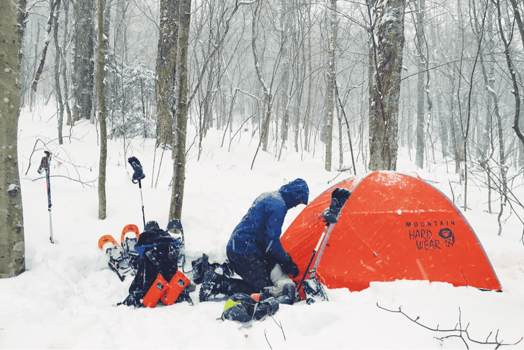
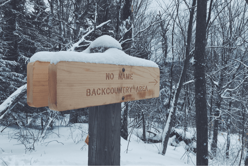
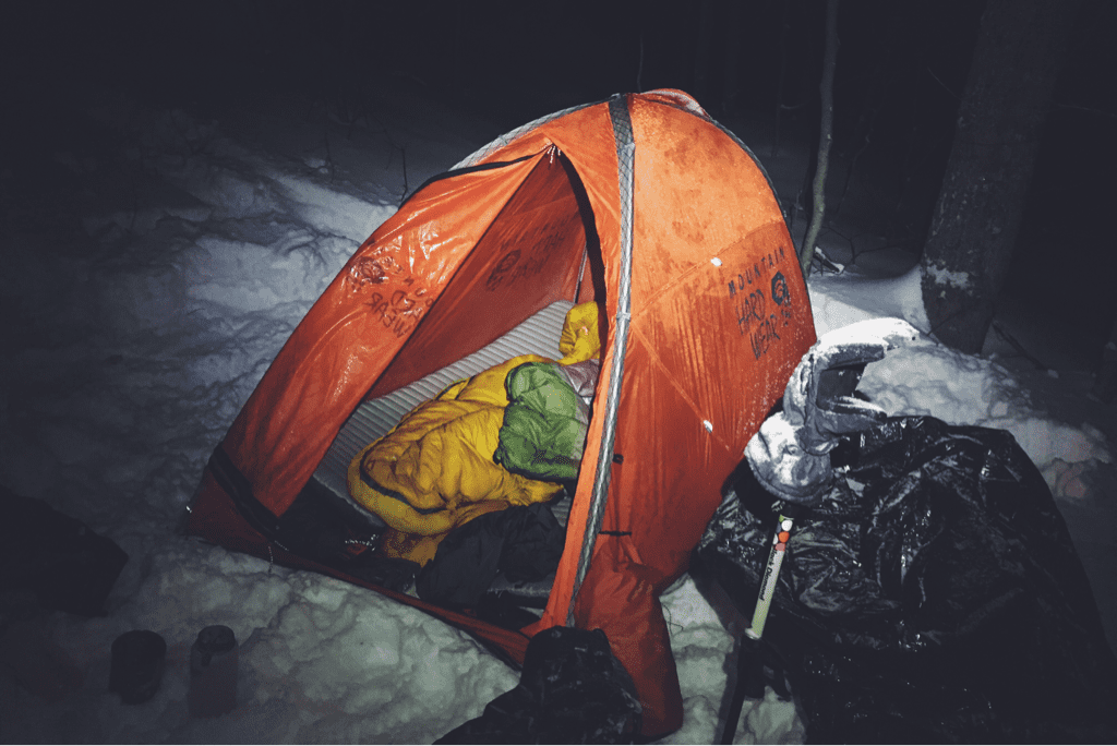
It was around 1645 hours as the woods became completely dark that we realized we had actually (finally?) lost the trail. Santa began searching for blazes as I referenced the GPS. With the infrequent appearance of our favorite white trail marking paint, we followed the breadcrumb path of the GPS further forward until our position and the 'trail' no longer stayed in sync. We spent nearly half an hour along a ridge trying to find the trail itself, getting colder and more wet in the process as wet snow abundantly continued to fall. We were exactly 1 mile of trail from the shelter, a warm(er) and covered place to spend the night. We debated hiking straight to it, but hesitated due to the topography and slopes of the surrounding area. Santa suggested returning to a blue blazed side trail and trying to approach the shelter from a parking lot at the base of the mountain. Standing there losing body heat and getting more uncomfortable by the minute, I told him we needed to set the tent and hunker down for what would be a long night of continued snowfall. Finding a 'flat' section of ground a hundred or so feet from the top of the ridge, we used our snowshoes to stomp down over a foot of fresh powder, working quickly to get the tent up and keep it dry inside.

We're hunkered down for the night waiting for daylight's arrival with hopes of reacquainting ourselves with the trail when we can see it without struggle. I won't go so far as to say it was dumb to be hiking at night in this weather, as it's something we've absolutely done before. I absolutely think we made the right decision to shelter in place instead of wearing ourselves out by continuing to search for a trail we had little hope of finding in the pitch black on a mountainside. There's little cross-breeze now which makes me nervous for precipitation inside the tent. All our gear is dry from the night at the Inn, and it will be unfortunate when it becomes damp from a night of confined space with little ventilation. I'd leave the door open, but snow continues to fall.

The tone here is pessimistic and moral low. I've never in my life felt unsafe in the woods until tonight, which put me a bit on edge and I think cemented my unwillingness to try and make it the ONE more mile to the shelter. I've carried the tent for 115 miles for this exact reason; to be our port in the storm.

We'll find the trail in the morning and will see how far we make it. Today was almost a 12 mile day and tomorrow is slated to be thirteen. We'll have to see how my knee is after that last fall, and how Santa is feeling about all this. We've seen exactly three hikers on trail since leaving Massachusetts; 157 remaining miles is still a very long way to go, especially if we're breaking 12-18" of newly fallen powder the entire way.

Ever onwards.
Picture
Picture
Picture
Picture
3 Comments

Killing(ton) Me Softly

12/29/2016

3 Comments

 
Day #10
Mileage: 10.6 (plus 3 off trail)
Long Trail Mileage: 104.5
Time: 8 hours
Day / Night Temp: 25 / 18 F
--
​

We've broken the 100 mile mark. Had it not been for the relatively packed trail on our north side descent of Killington, I'd be writing that the mountain whooped our asses around the block and back. For the first time on the trail I woke up the moment my alarm went off, making some kind of noise to wake Santa as well. We had business to tend to, town to get to, supplies to purchase, hot food to eat, and warm beds to sleep in; there was no time whatsoever to mess around.

We left the shelter at 0730 and began walking up the Forest Service road a quarter mile or so before the Appalachian Trail / Long Trail turned off the maintained terrain and up into the woods. The snow flurries continued on from the night before, and would for the rest of our day. The first mile or so was easy with light crunchy snow underfoot and a gradually climbing terrain. We covered that distance in about twenty five minutes, then began slowing from there. Killington's climb for a northbound hiker takes place over approximately 7 miles and gains just about 3,000 feet in elevation. The first three miles of that are moderate, and then the mountain kicks things into gear. The terrain turned more moderate, climbing upward at steeper angles as the snow became gradually deeper. It was strange how yesterday morning we hiked with no snow at all and now we were ankle deep in the stuff, no more than 7 miles as the crow flies from where there was none. We pushed on, our speed dropping as each lift of our legs became more strenuous, carrying on up a mountain with no switchbacks to be seen.

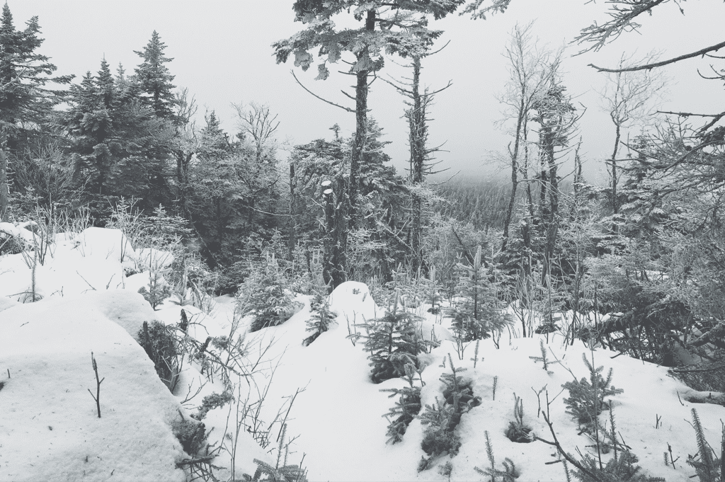
Halfway up we began being slowed down drastically by the snow. Under the evergreens was about 6" of snowfall with a thin but icy top layer crusted on from the warm temperatures and rain the day before. The real problems arose when we crossed areas with no tree cover, finding ourselves knee deep and eventually waist deep in snow drifts. The latter being the deepest snow we've experienced on trail thus far, it was exceptionally difficult to move in. I can only describe it like being waist deep in sand, pushing with every ounce of force in your body to lift/move/wiggle/force your leg forwards to make progress up the mountain. It is emotionally and physically draining, and we combatted this on and off for over a mile towards the summit, climbing vertically all the while. I switched to snowshoes from my light traction, possibly too late in the game, but Santa stayed with Microspikes as we neared in on the Cooper Lodge shelter on the back side of Killington's slopes. I'm not sure there was width in the trail, or honestly anywhere shallow enough, to have put them on earlier either way. We trudged on, me breaking trail with my now massive footprint as he followed behind. We finally arrived at Cooper Lodge at about 1140hrs, the world around us frosted in that beautifully iconic alpine New England frosty ice.

Lunch was quick, and we made conversation with a few skiers who stopped into the shelter to take a recreational smoke break from the slopes. It was at this point that someone asked "what [were our] plans for the blizzard." - the first we had heard of this storm moving in on New England, so I'm sure our responses were slightly worrying and slightly comical. We packed up, both donning snowshoes, and began the descent towards the town of Killington itself, located just over 6 miles down the trail. As it turned out, apparently the trail we would descend is infinitely more popular for hikers than the one we came up, packed down and traveled well enough that we stopped a quick mile later and traded the snowshoes for Microspikes. The 6 miles downhill went by infinitely faster than the 4 miles up, and as we wound our way down the mountain, following previous footprints through a sometimes confusing maze of switchbacks and poorly marked trail. We reached VT Route 4 at 1500hrs, turning east and walking over a mile up the highway to the Inn at the Long Trail where I had made us a reservation for the night.

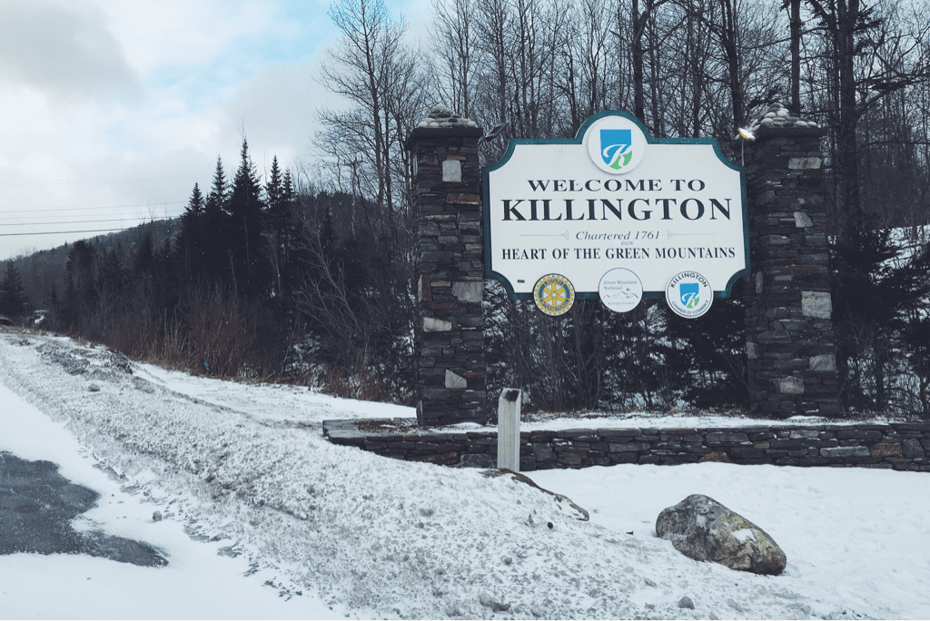
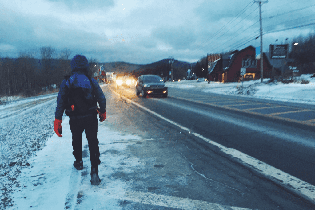
Oakie, who I assume to be the manager, greeted us kindly and became even warmer to us when he found out we were hikers. He offered us town clothes, left here by others and recycled for hikers in summer months as they do laundry, and told us he upgraded our accommodations to a room with a gas fireplace. We thanked him, ran to our rooms to shed sweaty and soaked layers of clothing, and then began the 2 mile walk further down Route 4 to an outfitter where Santa had a care package mailed. I picked up some new compression shorts and gaiters (both that I began hiking with are falling apart already...) and the rep at Base Camp Outfitters was nice enough to give me a 10% discount and repeatedly encouraged our hike. We quickly visited the small market for yet another expensive New England resupply, then took the local commuter bus back up the hill to the hotel, the driver giving us the ride for free when he found out we were hiking this late in the year.

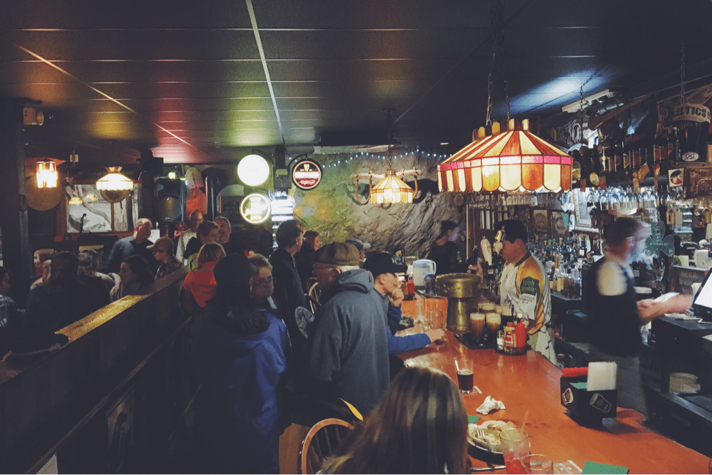
The rest of the night was comprised of a shower, laundry, cold pints at the Irish pub from Owen the bartender, hot lobster mac & cheese, and phone calls to loved ones now that we actually have service. We used the gas fireplace to dry sleeping bags, and I fell asleep to the glow of the flames dancing around the room. I don't think I've ever been so disinterested in the arrival of a tomorrow, or getting back on the trail. Today took a lot out of me, out of us, and I think the pessimistic thoughts are gaining on the optimistic.

We're aware of the weather. We've seen the reports, estimating 12-18" of heavy snow for this area over a 24 hour span tomorrow. We will be mindful of it, and safety will of course come first, especially over pride. At the end of the day though, a winter thru-hike attempt in New England wasn't going to happen without some kind of weather presenting itself.

Anyway, that's that.

Texaco
Picture
Picture
Picture
Picture
Picture
Picture
Picture
Picture
3 Comments

Nothin' Shaking on Shakedown Street

12/6/2016

0 Comments

 
Dates: December 3rd and 4th, 2016
Day mileages: 9.7 / 7.1
NH 4,000 footer: Mt. Carrigan
--
 
The point of this past weekend's small adventure was to do a shakedown hike, putting my new and old gear to the test. I hoped to figure out which way was best to arrange the inside of my pack, to confirm the comfort of my sleeping bag in colder mountain temperatures, and to figure out if there's anything else I needed to order before this trip gets underway in less than two week's time. I think it was a successful weekend, all things considered.
 
My dad dropped me off Saturday morning at the Sawyer River Road upper parking lot (elevation 1,400') around 8:30, and I began my 5-mile hike up towards Mt. Carrigan's summit. Located in the Crawford Notch region of New Hampshire's White Mountains, temperatures were in the low 30s and as expected, snow began falling about a mile in as I crossed over the trail's first river. It would continue to snow for the duration of both days of my hike. The first 2 miles of trail meandered through a quiet and slowly climbing woods terrain before crossing over the Carrigan Notch Trail, where it then began a steeper ascent. I took my time getting to the mountain's summit itself, letting a few groups of hikers go past me as they hiked up from behind. Each seemed to be sporting microspike traction (the lightest/least aggressive option) on their boots, and typical Osprey/Gregory 25 liter day packs with enough gear to get them to the summit and back. At that point I had no traction on and wasn't feeling it necessary, so I kept going bare booted. Halfway up the climb I shed my fleece layer, leaving me with just my long underwear top and Marmot shell that did me fine the rest of the way to the summit. I stopped at the upper ridge walk about 1/2 mile from the peak to take photos; with temps in the low 20s and wind howling across the ridge I got chilly quickly, but that's the photographer in me going any length for a photo. I'll have to get better at not doing that during the thru-hike.
 
I reached Carrigan's 4,665-foot summit around noon, slightly disappointed in my timing of 3.5 hours to cover 5 miles. This is another trait of winter backpacking I'm also going to have to get used to. Not every thru-hike can be accomplished at 3 mph. I didn't venture up the mountaintop's old fire tower, but instead snuck off to a little clearing in the woods, quickly eating a sandwich after putting my fleece mid-layer back on. The wind wasn't constant, but the temperatures were much chillier than they had been at lower elevations. At this point there were 20+ people in the vicinity of the summit so I packed up my stuff, affixed my microspikes to my boots, and began my venture down the aptly named Desolation Trail. It appeared from the snowfall and lack of previous tracks that I was the first person to head that way in quite a while. I had no issue in my light traction, but some steps on my descent left me in snow deeper than my nearly knee-high gaiters. I flew down that segment of trail and got to the bottom, elevation 2,200', where it crosses Carrigan Notch Trail pretty quickly. By continuing forward a mile or so I would come across Nancy Pond Trail, the one that would ultimately take me back to NH Route 302 the next morning. Deciding to cover the distance and cross both of the trail's wide rivers before stopping, I carefully navigated each being cautious to not get my boots wet or misstep. With lots of previous spring/summer/fall hiking, I'm used to little consequence in getting my feet wet crossing a river. In this instance I was exceptionally cautious with each step to make sure my feet wouldn't get wet as doing so could end my hike very quickly.  I found a nice flat spot alongside the second river around 1530hrs, knowing that sunset was timed for 1610hrs. I'll plan to hike later into the dark once Santa and I are on the trail together, but in this instance I was happy to stop and get camp set up. I was able to set up the new Mountain Hardwear Direkt2 tent within 8 minutes of dropping my bag, a remarkable improvement over my initial set-up in my living room. I do think I figured out the trick to getting it pitched quickly, something I was very thankful for given the isolation in the woods. I got all my gear set up inside in no time at all, set up my stove just outside the tent door, and immediately got dinner ready. It was at this point that I realized I had forgotten a friggin' (I assure you this was not my word of choice in the moment) lighter to ignite the stove with. Dinner Saturday night was a string cheese stick and a cold Pop-Tart instead of cheesy pasta, soup, and hot cocoa. Imagine, if you will, how disappointing that was.
 
With nothing else to do and darkness quickly settling over the woods, I slept from 1630 to 2100, waking up to pee and shed a few layers. One of the things I'll have to get used to is appropriately choosing layers to sleep with. I had initially fallen asleep with my compression shorts, fleece pants, long underwear top, fleece top, and puffy down jacket on. At 2100 I shed everything except my underwear base layers for the rest of the night. Temperatures dropped to twenty overnight, and hovered at about 28 inside the tent. When I awoke at 0630hrs (yeah... 14 hours of sleep!) I was concerned to find just how much moisture had been absorbed into my sleeping bag from my sweat and breath. Despite shedding the layers and hopefully sweating less as the night went on, I made the mistake of being super comfortable and burrowing down inside the bag itself, exhaling a ton of moisture into the bag. In researching this since getting home, I've learned that on a cold night a hiker can exhale up to a liter of moisture in their breath into the fabric of the sleeping bag. This is something I will not do again, and I felt lucky to be out of the woods as I left the sleeping bag unzipped on my forced-hot-water radiators today to dry out. I'm considering vapor barrier layers (VBL) for socks and sleeping bag liners, but I'm also wondering if by adjusting the ventilation and my breathing (both vents in the tent were open, but due to snow falling I left the door closed) I'll be able to not have this issue.
 
Sunday morning I took my time, striking camp in a little over 45 minutes, and was on the trail by 0800. There was an inch or so of new snowfall overnight on top of what appeared to be relatively untraveled trail, so I stopped and strapped on my snowshoes just to check how they worked with the extra weight of my pack. I followed along with what I believe were moose tracks (doubt anyone is riding horses in the Whites) and made my way up the 1,200' gradual incline to Norcross Pond. The trail got pretty narrow from there on, but the snowshoes continued working well and I hiked another mile to Nancy Pond, skirting the frozen water before beginning the descent back to NH302. About a half mile from the pond I met a solo hiker, chatting for a minute before continuing on. I think we both caught each other off guard, hats on covering our ears and otherwise silence in the woods. Neither of us expected to see anyone.
 
I stopped to send my dad a text around ten, estimating my arrival at Route 302 for noon exactly. I descended a bit faster than I thought, and he managed to arrive at the trailhead at the exact moment I was walking into the parking lot. Serendipitous. 
 
Take homes lessons:
 
1) Don't be a moron. Bring a f'n lighter. Seriously can't believe I left that out.
2) Need a vapor barrier for my feet. My boots were wet, my socks smelled like hell after one day... this will be horrid after a month.
3) Need to either practice better moisture management in the tent/sleeping bag, or add a VBL for that too.
4) Revisit lesson number one.
 
Honestly, other than that I think I did a great job getting some good mileage in and utilizing most of the gear I brought, save for my change of clothes and other socks. The SPOT GPS worked well checking me in and tracking my progress, and my apparel did a great job and covering different bases of exterior temps and body temp regulation.
 
At this point I'll pick up a few small extra items, and will turn my sights towards planning our routes/days, food, and other last minute small details before the hike. I don't love the idea of an itinerary for this hike, but I think that given our timetable it's going to be necessary to know at minimum where we need to be in order to finish on time. Trust me, for as much as moments of this undertaking might suck, we're going to have a blast.
 
Some photos for your enjoyment.
 
Texaco
Picture
Taking a break on Signal Ridge Trail
Picture
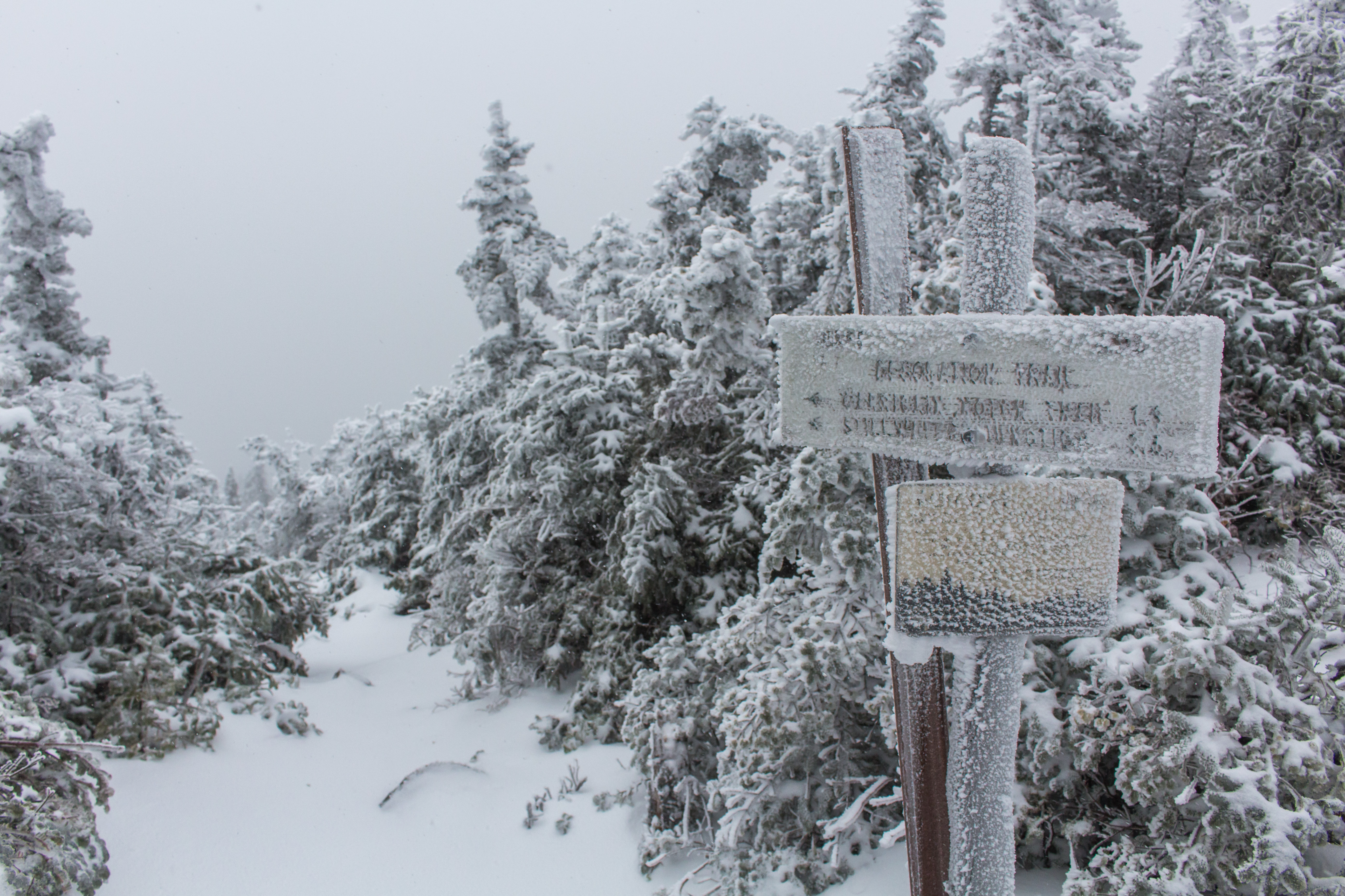
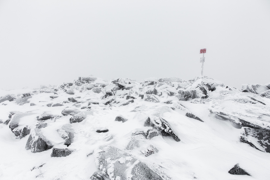
Mt. Carrigan's icy summit, turning down Desolation Trail
Picture
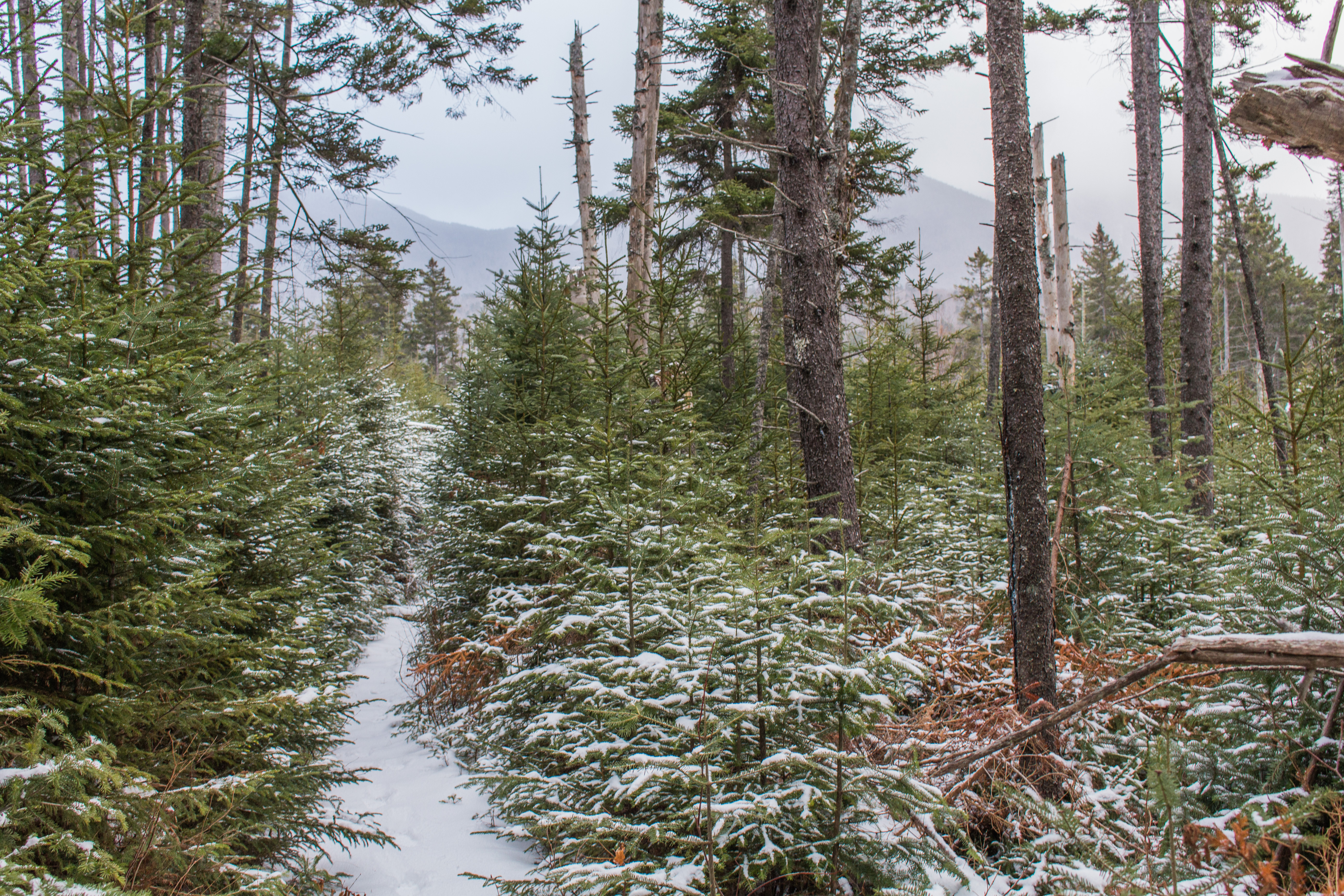
Picturesque Nancy Pond Trail - Mt. Carrigan in the background
Picture
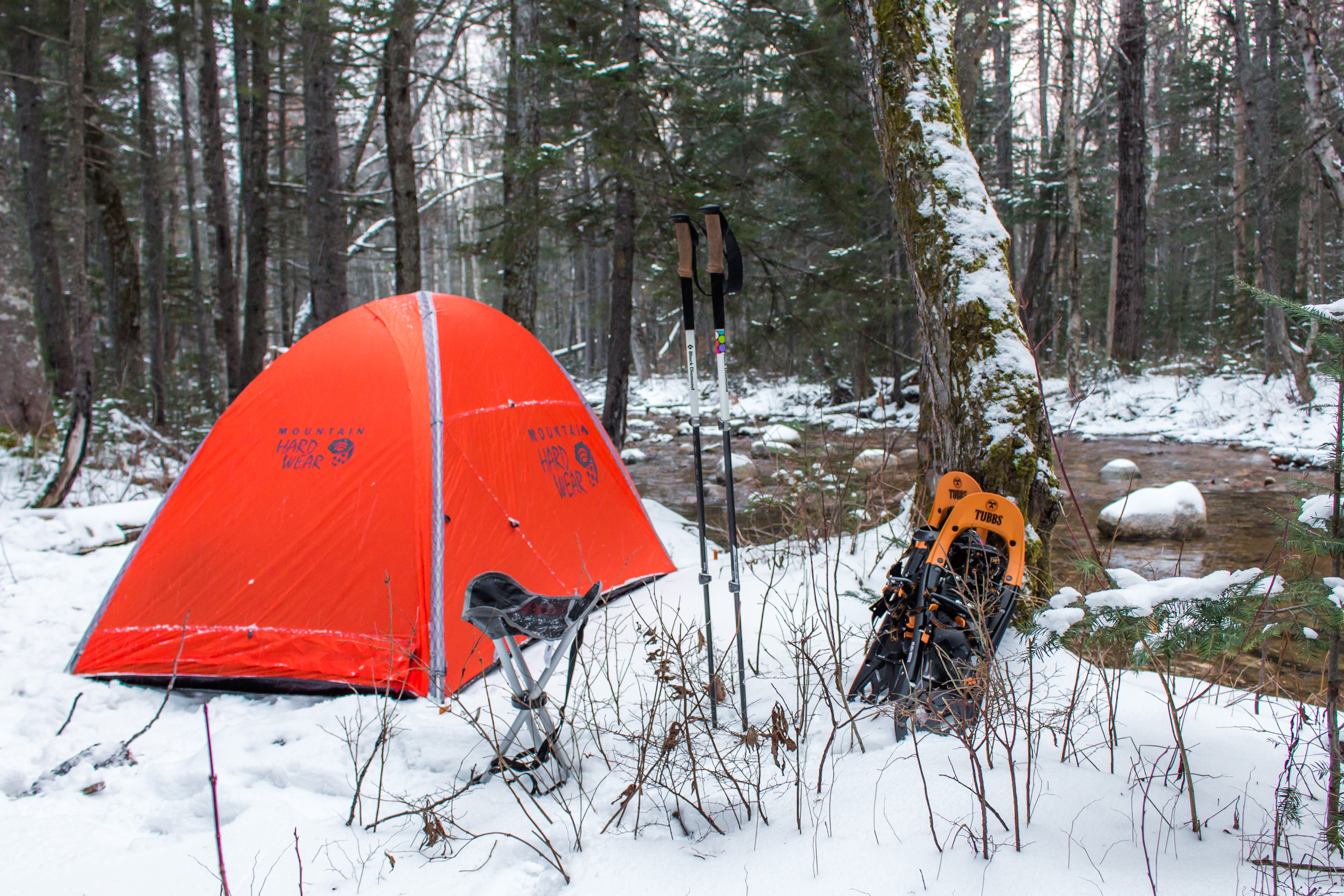
Home for the night alongside Norcross Brook
Picture
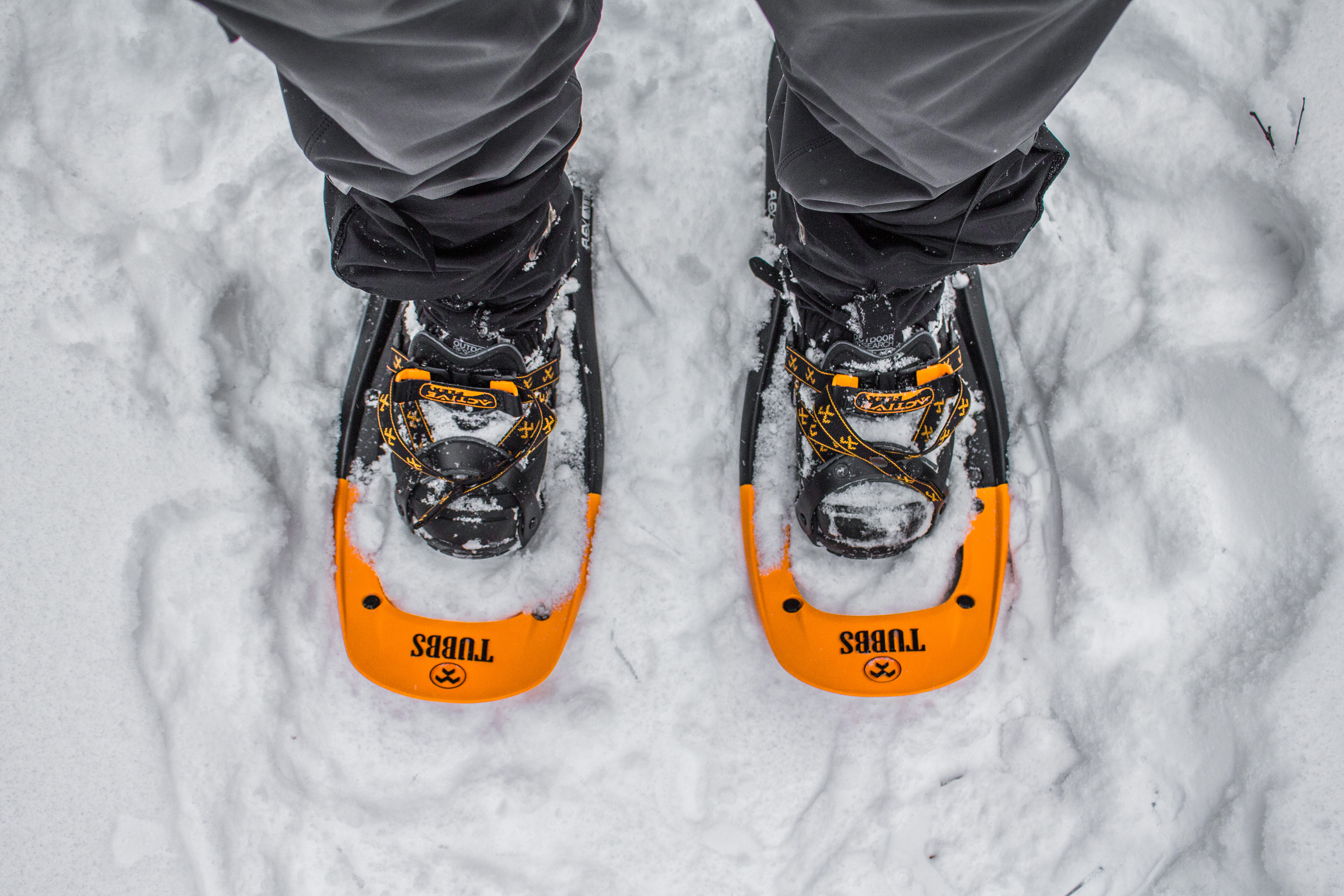
Snowshoes on the Trail
Picture
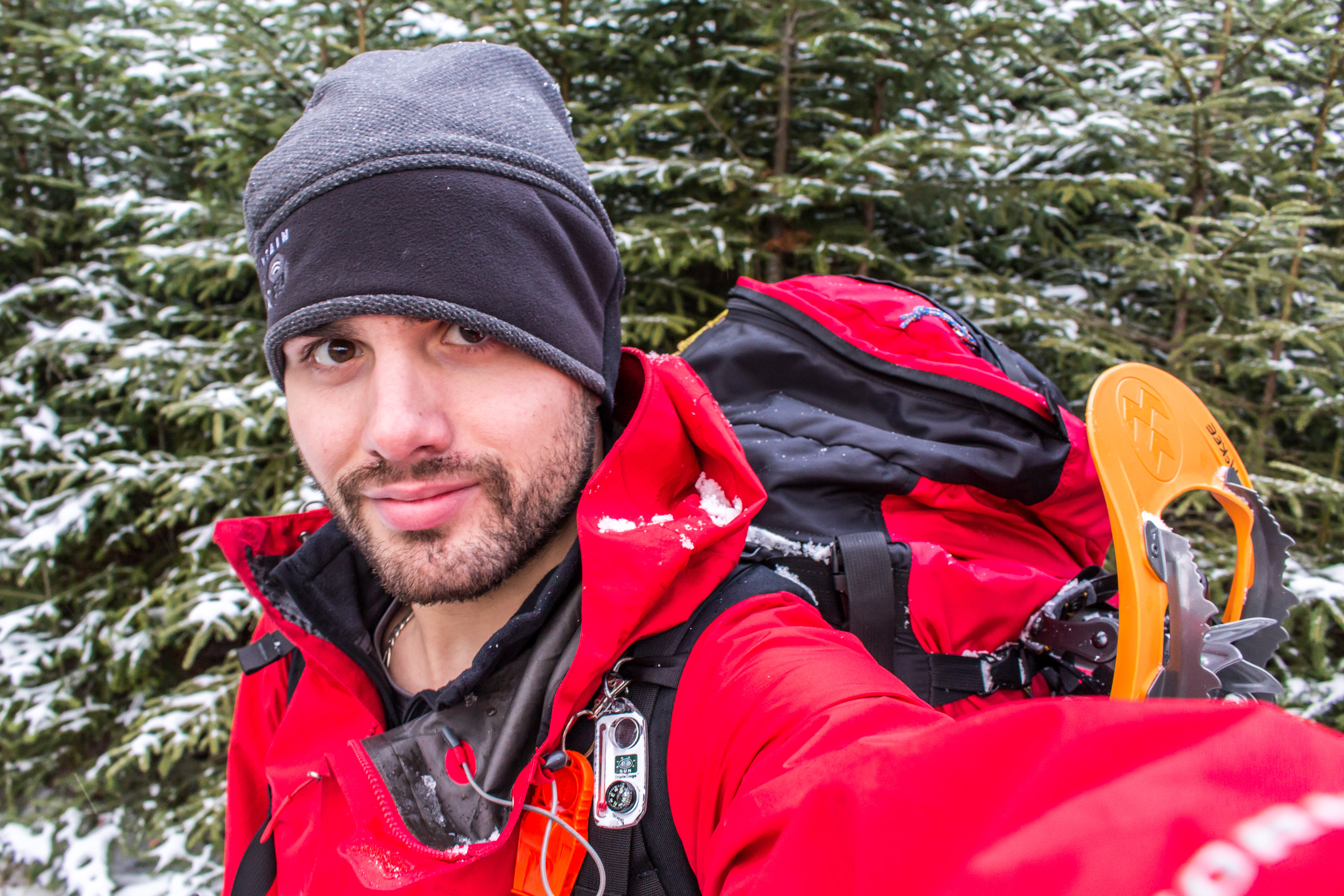
Dressed for the weather and terrain
0 Comments

Gearing Up

12/1/2016

2 Comments

 
Hey all, 

Hope you had a great Thanksgiving weekend! As the past few weeks have flown by, this upcoming trip has only become more real. I placed an immense order through REI for more winter specific backpacking gear than I already owned. Utilizing a "friends & family" discount coupon that a fellow '14 A.T. thru-hiker had (she's an REI employee) I was able to save almost $500 on my order, basically making my new tent a free gift. Huge thank you to Cori for making that possible.

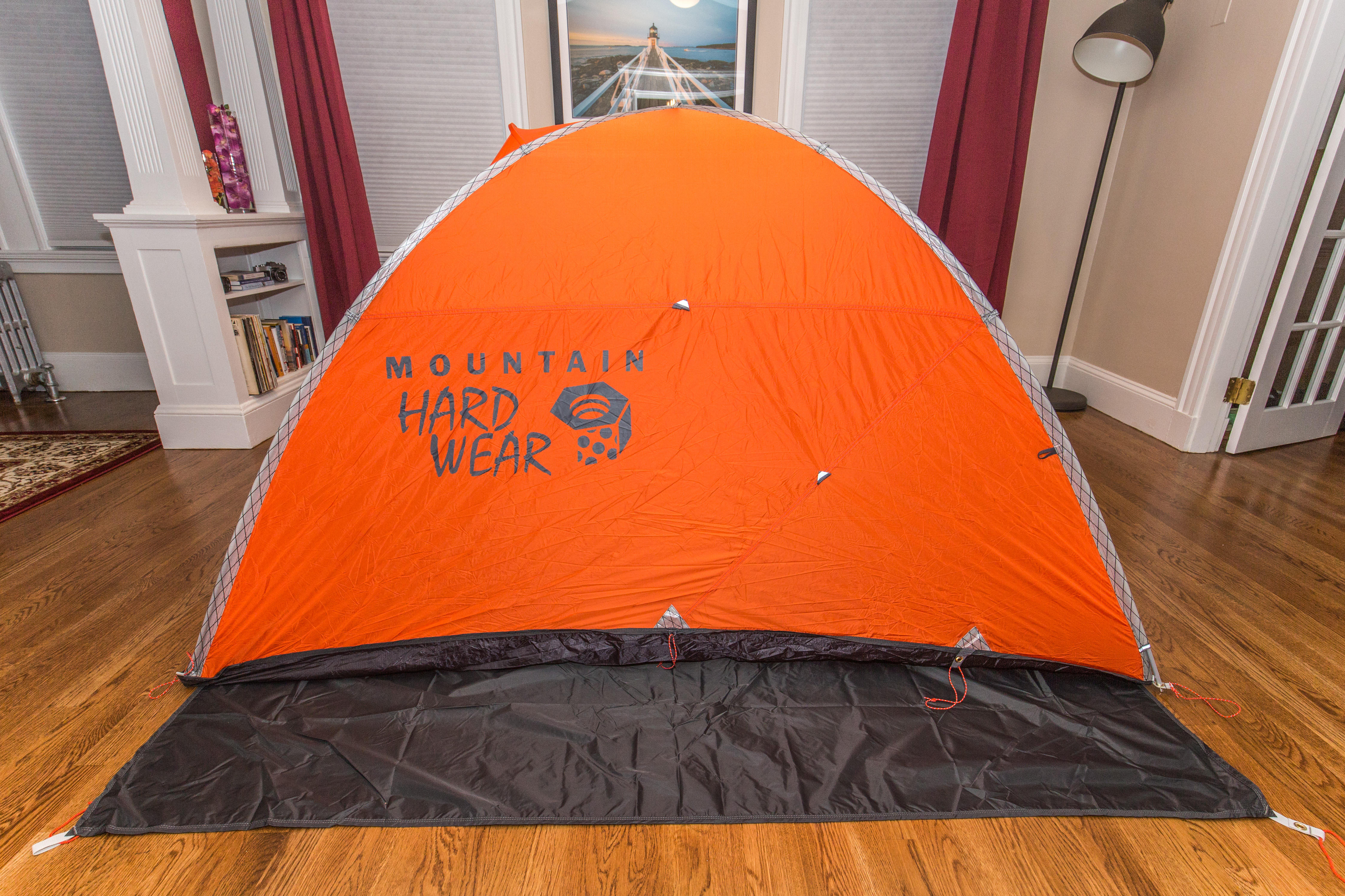
Some of the major new purchases included my Cold Cold World "Chaos" backpack, sewn and assembled by a guy named Randy Rackliff in locally in Jackson, NH. While the highly regarded alpine/mountaineering pack typically is made with blue fabric, he made mine custom with red to match my Marmot jacket... I figured I might as well hike in style. Second up in the big three purchases of new gear was my Mountain Hardwear Lumina Z-Blaze synthetic sleeping bag. Rated for tempatures as low as -15 degrees and outfitted with an additional 15 degree bag liner, this combination should keep me warm well below the zero degree line. The final major piece of gear is my new Mountain Hardwear Direkt2 tent; an amazing and compact 2-man tent, it's the first choice for alpine climbers looking for a small footprint to pitch on the literal side of the mountains they ascend. While our hike won't be that extreme, the 2.5 pound weight of this tent made it the perfect choice for us to share during this trip; it will be close quarters, but ideally it won't be home for more time than necessary on the Long Trail.

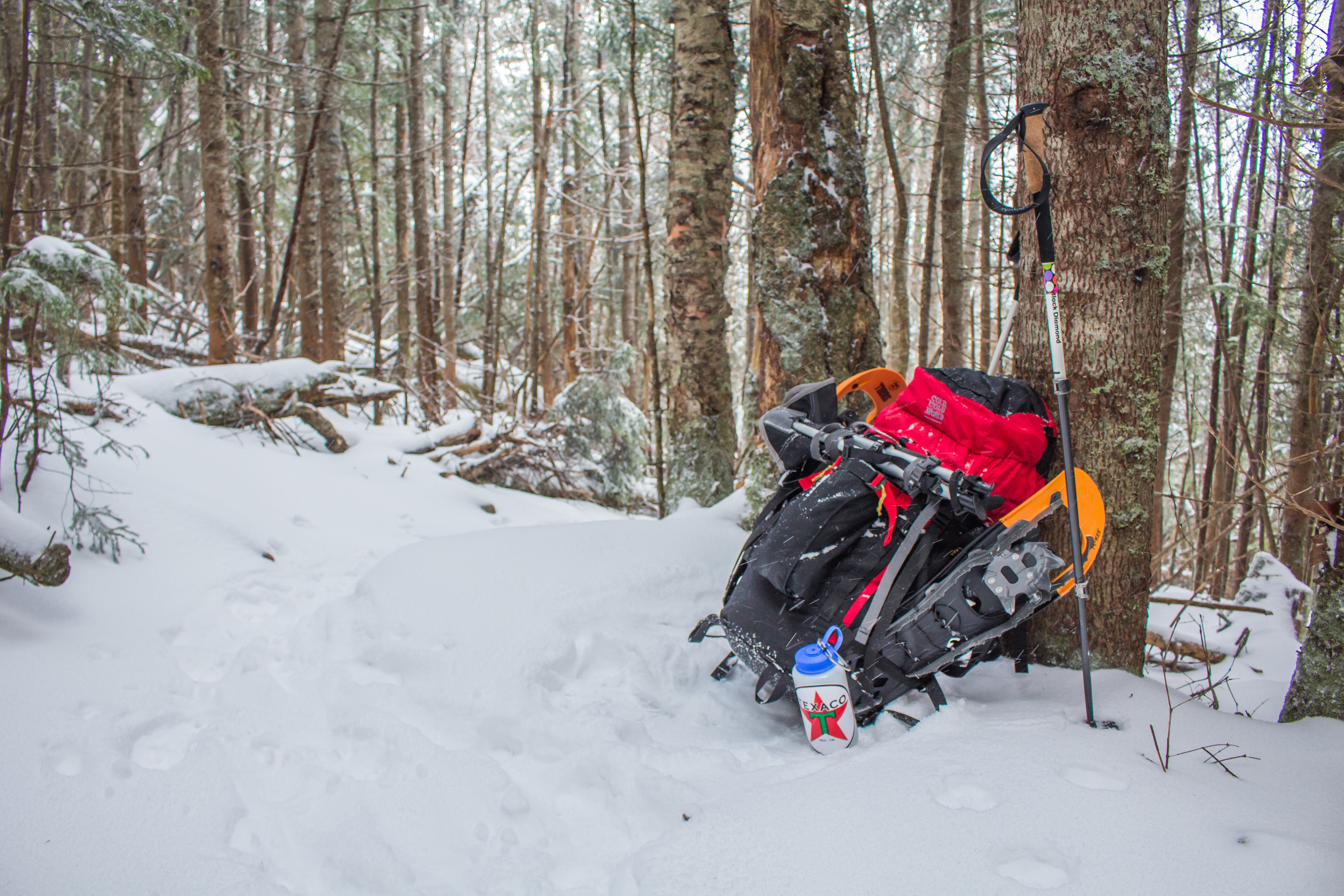
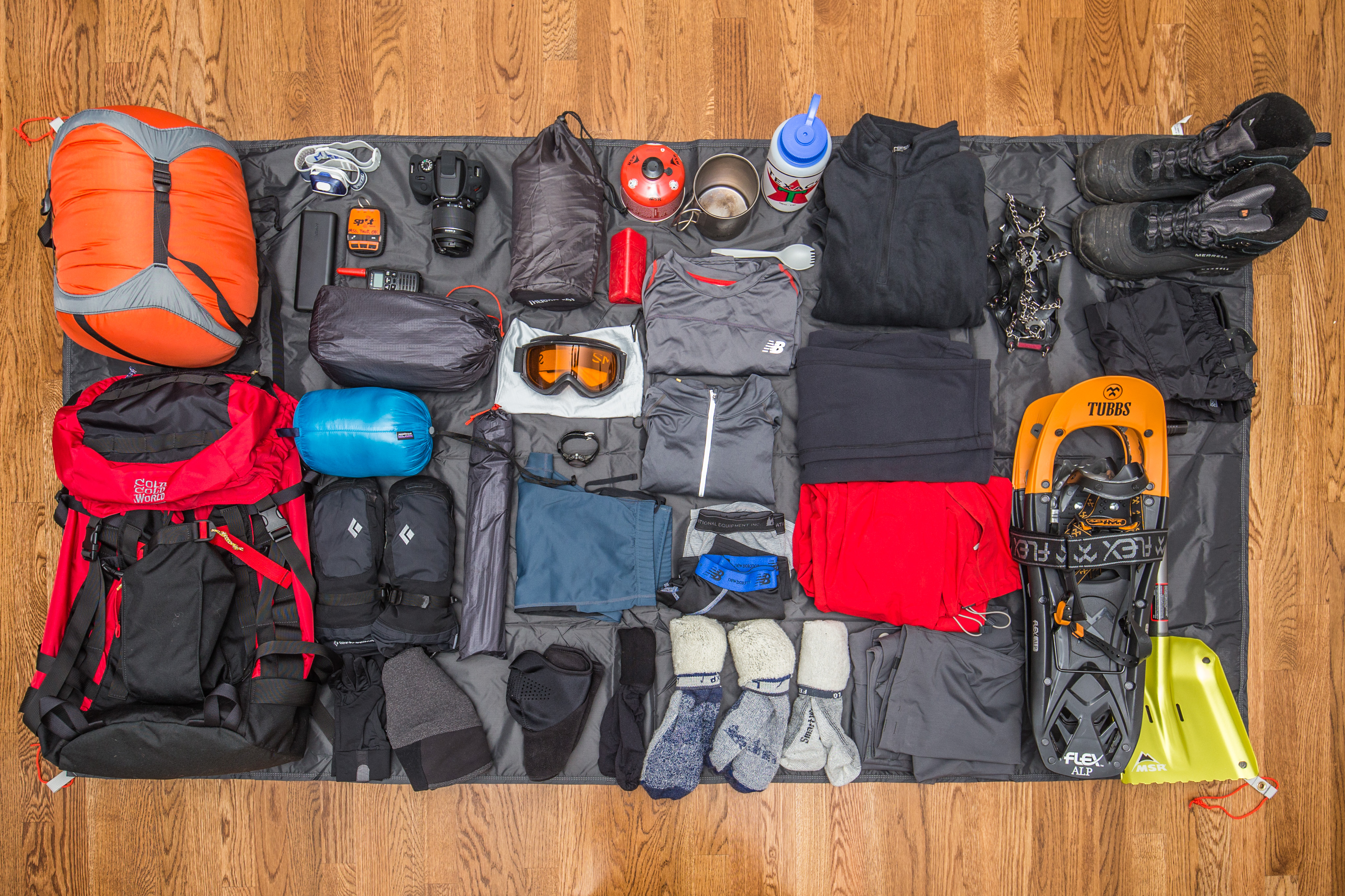
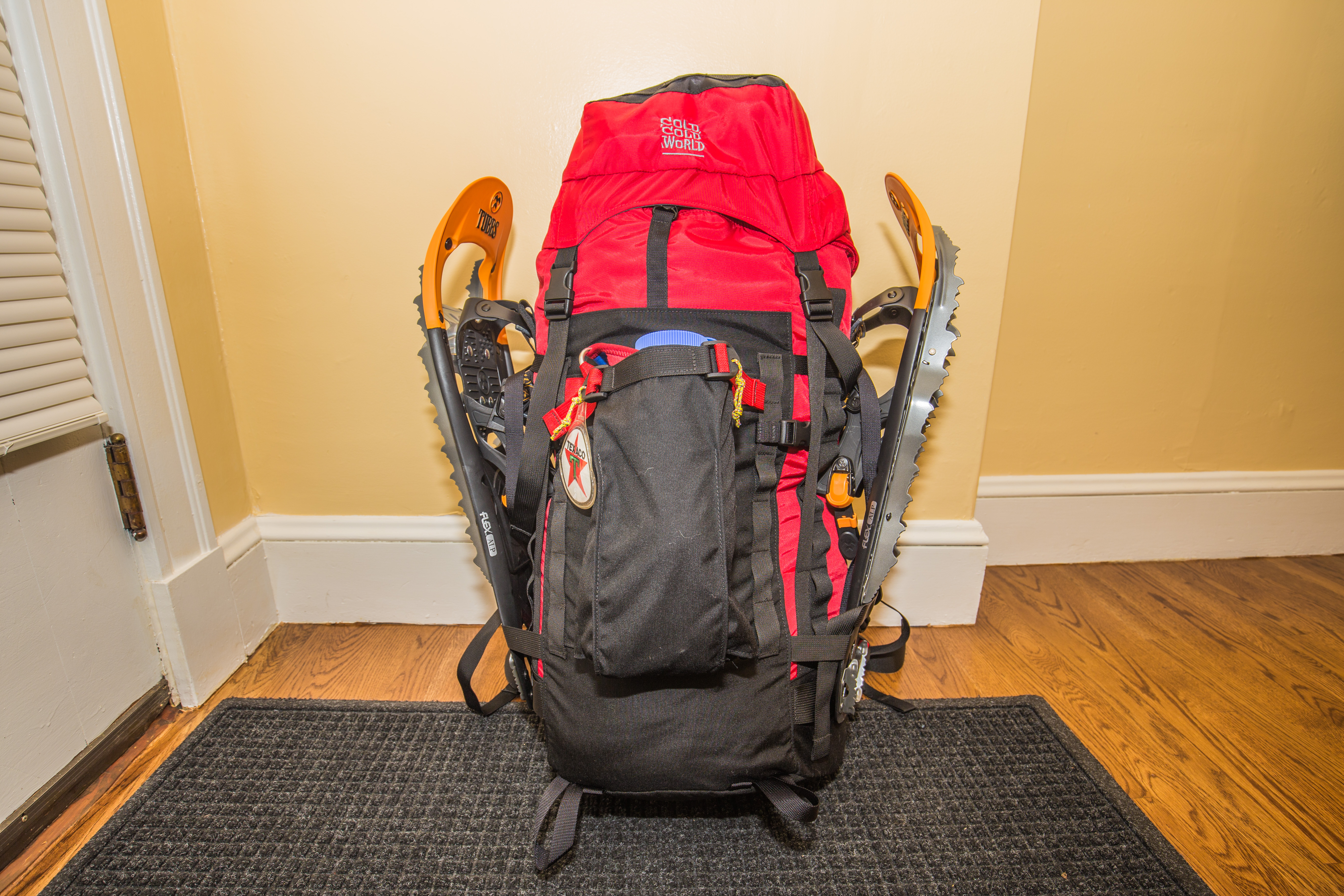
I'm doing a lot of work in getting primary and redundant maps and gear for us to hike with, and am reworking my packing methods to get my bag to the smallest size possible, a tough feat given the extra size that each piece of gear is in comparison to 3-season camping gear. My new sleeping bag is fitted in a 30L orange compression sack, shown in the upper left corner of the first photo below, and occupies just under half the total height of my backpack. Fitting everything else around it won't be a huge problem, but it will take a little more effort to nail down the exact order in which things need to be packed in order to get the most out of the bag. Utilizing exterior straps I'm able to secure my Tubbs Alp Flex snowshoes, and a self-draining pouch on the front of the pack will be home to my microspike light boot traction when not in use. The fantastic news, though perhaps hard to imagine given the amount of stuff in the photo below, is that my pack weight comes in at 26.8 lbs (without food or water), but with all of my gear. Removing the clothing and boot traction I'll be wearing while hiking, then adding in a few days of food, I'll cross my fingers for a 30-35 pound pack weight with snowshoes accounting for nearly 4 pounds of that.

I'm planning to go hiking in New Hampshire's White Mountains this weekend to do a real-world shakedown with this gear. A 14-18 mile hike over two days should give me exposure to cold weather, snow of different depths, and at least one night in the mountains with this new tent set-up. I'm hoping to find weak points in my system early on so that I can replace them in the 2 remaining weeks before our departure date. 

Just wanted to fill you all in on where I'm at. Santa and I talk almost daily and compare notes, triple check redundancy, and exchange thoughts on our approach for this hike. There's been a lot of enthusiastic and some hesitant web feedback about my hike, and I encourage you to reach out with your own thoughts. In  all honesty, I'd love to hear from any readers in Vermont who might be willing to sign up and assist us with getting to/from a resupply location, or perhaps even offering a warm place to spend the night as we hike by if need be. The support from readers during the A.T. traverse was immeasurable and so helpful, I'd really appreciate even a fraction of that while we brave the winter weather to make our way to Canada. Having a list of potential aid ahead of time would be an amazing thing, if any of you are in a position to perhaps lend a hand.. I promise we're not high maintenence!

Signing off... I've set the tent up on my back porch tonight (I live on a hill) with 10-15 mph winds coming from the west. The "open this vent to avoid suffocation" warning inside the tent has been followed, and the circulation vent is wide open. I figure it'll be good to test warmth when my own bed and down comforter are a mere 30 feet away before testing it atop a mountain ridge this weekend.

Onward & upward,

Texaco

Picture
Visualizing the gear
Picture
Practicing pitching the tent
Picture
Overpacked... shown including gear I'll be wearing while hiking.
2 Comments

Up Next: The Long Trail

10/13/2016

2 Comments

 
Two years ago, we walked 2,200 miles together. This summer, we sailed in the gorgeous waters of the Caribbean as a precursor to a gigantic undertaking yet to come. In two month's time, I'd like to invite you to join me on another adventure of a familiar yet completely different nature. 

As I hinted at a few months back, my good friend Santa and I have been planning a thru-hike this winter of Vermont's legendary Long Trail. Created between 1910 and 1930, and known as the oldest long distance trail in the United States, the trail extends just over 270 miles from the Massachusetts/Vermont border up to Canada over the backbone of VT's Green Mountain range. The first 100 miles are shared with the A.T., so Santa and I are familiar with the terrain and what we'll encounter, albeit at a much different time of year. The trail is credited with being the inspiration for the Appalachian Trail itself and has a recorded 3,100 thru-hikers. The group comprised of those who hike it in one instance or compile a multitude of smaller section-hikes are affectionately known by the Green Mountain [hiking/trail maintenance] Club as "end-to-enders".

The majority, actually all but one recorded thru-hike of the trail that I've been able to find on the Internet, has been done in the late spring to late fall months when New England's mountains terrain and weather is a bit kinder to those who take it on. Most find that the trail take about two to four weeks in summer months (and therefore almost ideal conditions). True to form of loving a challenge, as well as both of our limitations of time with school and work, respectively, Santa and I have allotted 3 weeks to finish the trail this winter, knowing full well that snow and other weather at 3,500-4,500 feet above sea level will likely pose more than one challenge throughout our trek. 

At this point we plan to leave the 19th of December, the day after my birthday, and drive out to the North Adams, MA area (remember Mt. Greylock from the A.T.?) to begin at the border of Vermont. I'm building a gear list for this adventure, as most of my backpacking equipment is 3-season and will not support sub-zero temperatures that we'll likely see throughout a fair bit of the hike. I've begun building a Gear Talk page for this hike, alike the A.T., where I'm going over the equipment list I'll carry on the trail. 

I'll post occasional updates as we lead up to our departure time, highlight select gear and our more detailed plans and itineraries, and will also be attempting to blog daily, and keep the photos coming. My hope is to again provide some entertainment as you all sit in your warm homes during the chilly winter timeframe during which Santa and I will once again be living in the woods. Yes... this will be a cold one, but on the bright side I get to literally spend Christmas with Santa. Who else can say that?

Onward & upward,

​Ryan "Texaco" McKee
Picture
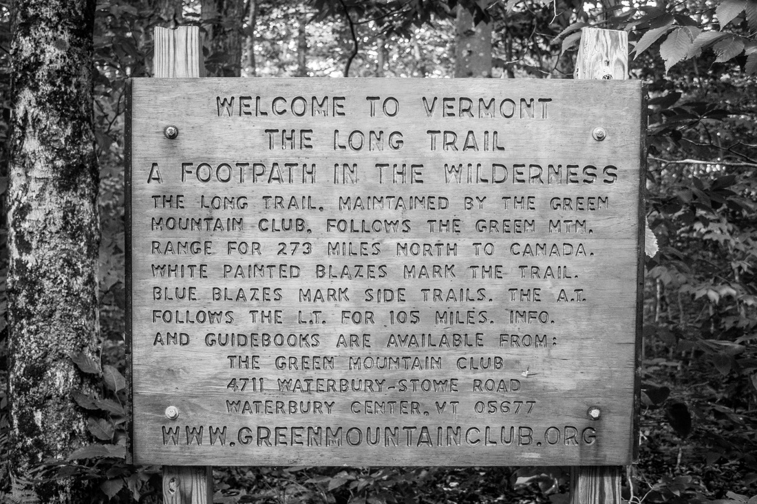
The Long Trail Sign, as seen 1,600 miles into the Appalachian Trail.
Picture
Summits in the Whites - November 2014
Picture
Picking up where we left off
2 Comments

    SUBSCRIBE

    Join Over 2,000 Readers On The Search For Adventure!

    Delivered by FeedBurner


    Author

    Hey there! I'm Ryan McKee, a free spirited adventurer, photographer, and digital media creator who calls North Carolina home. I travel incessantly, carry a camera with me everywhere, and am always dreaming of my next big trip.

    Picture

    SOCIAL MEDIA

    Picture
    Picture

    SPECIAL THANKS To

    Picture
    Picture
    Picture
    Picture
    Picture
    Picture
    Picture

    Archives

    October 2019
    September 2019
    August 2019
    August 2018
    July 2018
    June 2018
    February 2018
    December 2017
    November 2017
    October 2017
    September 2017
    August 2017
    July 2017
    June 2017
    May 2017
    March 2017
    February 2017
    January 2017
    December 2016
    November 2016
    October 2016
    August 2016
    July 2016
    April 2015
    September 2014
    August 2014
    July 2014
    June 2014
    May 2014
    April 2014
    March 2014
    February 2014
    January 2013


      Quick Survey

    Submit

    Categories

    All
    Allagash Wilderness
    Appalachian Trail
    Banff National Park
    Bears
    Canada
    Caribbean
    Connecticut
    Georgia
    Greece
    Hiking
    Italy
    Jasper National Park
    Jeeps
    Katahdin
    Long Trail
    Maine
    Maryland
    Massachusetts
    New Hampshire
    New Jersey
    New York
    North Carolina
    Overland
    Pennsylvania
    Photography
    Sailing
    Tennessee
    Travel
    Vermont
    Virginia
    West Virginia

    RSS Feed

ADVENTURES

Trans-Canada Overland Expedition
The Long Trail
Appalachian Trail
Bicycling Across America

Overland Build

Meet The Jeep
Backcountry Gear
​Modifications & Installations

Everything Else

Read The Blog
Photography
Guest Book
Contact

Picture
© COPYRIGHT 2019
​All Rights Reserved