Mileage: 8.8
Long Trail Mileage: 124.1
Time: 9 hours
Day / Night Temp: 28 / 19 F
--
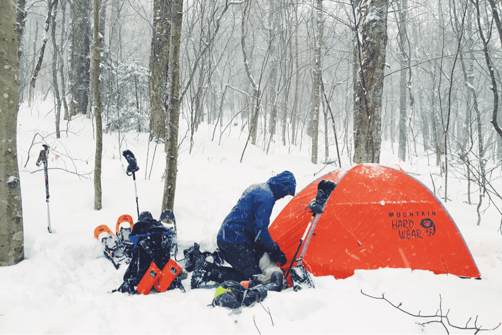
Our port in the storm worked wonders last night, keeping us out of the elements and warm as another 4+ inches of snow fell on the forest floor around us. Due to our location on the inside slope of the ridge, however, we were exposed to very little cross breeze which in turn with our body heat created a fair bit of moisture inside the tent and on our sleeping bags. While the snow subsided around midnight, it picked up again around 0330hrs, the noise of flakes hitting the tent waking me from an otherwise dead sleep. From then on the night and any hope of quality rest was lost on me. Around three hours later Santa awoke, encouraging me to get up as well so we could get started on the day.
Packing up the tent and all of our gear proved rather difficult to do as the second coming of the winter storm fell directly on top of us. Cold wind made itself present, and we hurried to pack the tent up and get a move on. The plan for the day was an ambitious thirteen mile trek to the Sucker Brook shelter. After putting on our gloves and frozen shell jackets, we began searching for the nearest white blaze that marked the Long Trail's path north. It took only a few minutes before we found such a thing, faded but present nonetheless on the bark of a birch tree a mere 25' uphill from where our tent was set the night before. We had been so close to the trail, but in the pitch black of night with snow flying sideways and headlamps glaring back at us in the reflection of said snow, there was no way we'd ever have found the blaze nor the trail. This began our game of searching out the woods for the trail itself; with the help of ambient light from the sun as it rose above the ridge line we followed the curvature of snow that is unmistakably the trail as it wound through trees and over hills. Despite every ounce of energy being devoted to hiking and route finding, it took us nearly 90 minutes to arrive at the side trail for the David Logan shelter where we had intended to spend the night before. There is no way on earth we would have made it there in the dark. Having no water left due to our emergent place of residence the night before, we pulled in to eat an early lunch and fill our water bottles. Scoping out the shelter's nearby streams we discovered them both dry, realizing that for the first time in our 116 miles of trekking, we'd need to boil snow to hydrate.
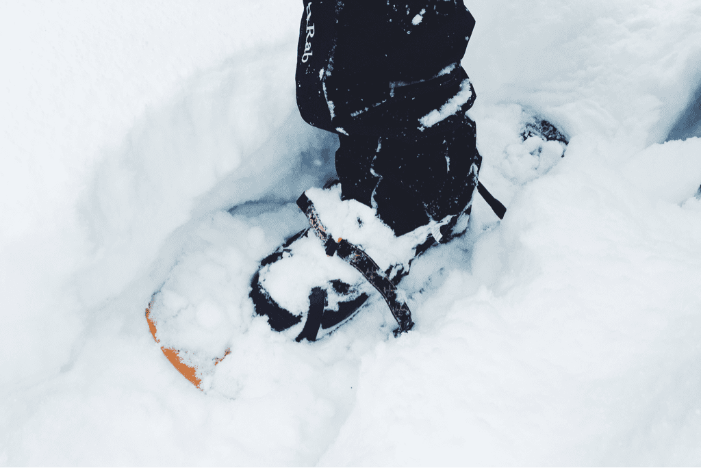
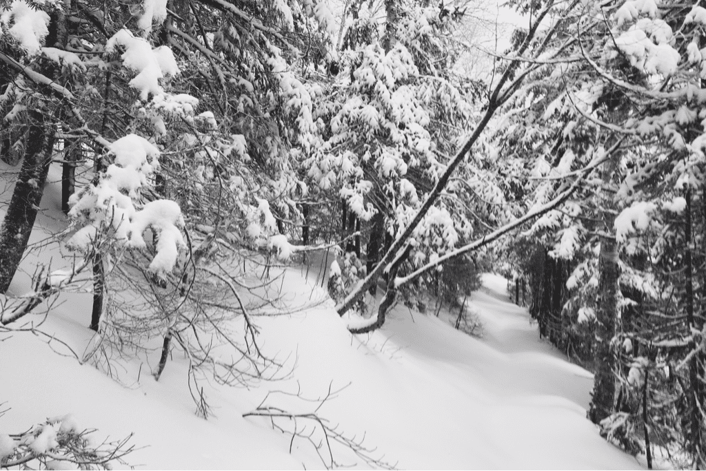
It took us an hour to refill our water supplies and eat, something I wasn't thrilled about given the 8.8 remaining miles to the road gap where we intended to end our day. We packed up and moved back out, following the shelter's steep side trail 0.2 miles uphill to where it had departed from the LT. Immediately we continued climbing, gaining a few hundred feet of elevation through densely packed snow. This began an entire day of difficult, at times miserable, hiking as we progressed north on the trail. Some sections of the Long Trail are incredibly steep, some are cut into the side of a mountain with very little room for a misstep before you risk tumbling down into the oblivion that lies below. We traversed both these kinds of trail, every so often balancing them together as we carefully made our way up the trail. The snowfall depth varied depending on where we were on each mountain, from 8-10 inches deep along the ridges to upwards of 30 inches deep on the steep pitched inclines. Sometimes I would reach my trekking pole out into the snow to catch the weight of my body if I tripped, only to find almost the entire pole disappear into the snow beside me. Each step in my snowshoes was part of an exhausting battle to move forward, and we slowed to an incredible 1 mile per hour as we moved along.
The afternoon passed at a confusing rate, the time seemed to fly as our mileage moved like molasses. We were frustrated with ourselves for the speed, wondering aloud how the LT would be to traverse in the fall when the trail itself was easier to follow. Despite the frequency on other days to talk almost incessantly, we moved along in near silence today, respecting each other's seeming need without any prior arrangement. We crossed through the woods as the trail slowly became more easy to navigate, flowing through pine and maple trees with a wide berth that made it quickly distinguishable versus the rest of the forest we were in. Santa and I alternated breaking trail throughout the day as the trail continued to climb in elevation, crossing over a half dozen well groomed snowmobile trails as they wound through the same mountains we went over.
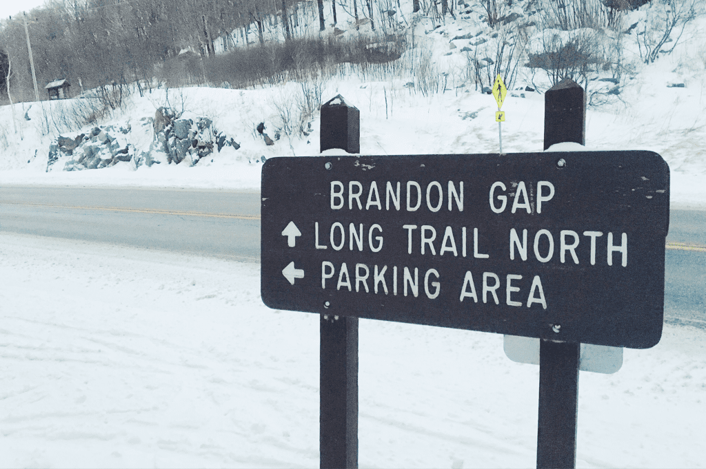
Around 1530hrs we crossed by Bloodroot Gap, marking our initial descent down from the 3,300' ridge to the gap below where Route 73 cuts through the mountains. We had only 2.4 miles left in our day, though the miserably slow mile an hour pace we had been pushing hard to move at made me hesitant for how long the remaining distance would take to cover. Thankfully we soon learned that the area was also popular to cross country skiers, and the LT's route down the mountain had already been well packed from skis despite the heavy snowfall in the last 24 hours. We flew down the gradually descending terrain, making it to the Brandon Gap parking lot where we planned to spend the night around 1645hrs, the tail end of daylight.
Today was difficult, blanketed with snow and constantly subject to more falling, but ultimately was not impossible (or impassable for that matter). Compared to previous days we covered a small amount of mileage and that fact is slightly frustrating, but I take a step back and realize we've just hiked 23 miles, through tough terrain, over a two day winter storm in New England.
Every day we do our best for one more day.
Tex



 RSS Feed
