2180miles
  • Home
  • Adventure Blog
  • Overland
    • Meet The Jeep
    • Mods & Installs
    • Overland Gear
    • Trip Reports & Videos >
      • Allagash Winter 2019
      • Greece Adventures 2019
      • Overland Expo East 2018
      • Allagash Wilderness 2018
      • Trans-Canada Overland 2017
      • QB-5 Adventure 2017
  • Long Trail
    • Trip Summary
    • Photojournal
    • Hike Statistics
  • Appalachian Trail
    • Trip Summary
    • Photojournal
    • Gear Talk
    • Hike Statistics
    • Financial Planning
  • Bicycling America
    • Trip Summary
    • Photojournal

Allagash Mountain Views

10/15/2019

0 Comments

 
 This post will be photo heavy. Sorry (or you’re welcome, depending on your take) in advance.
 
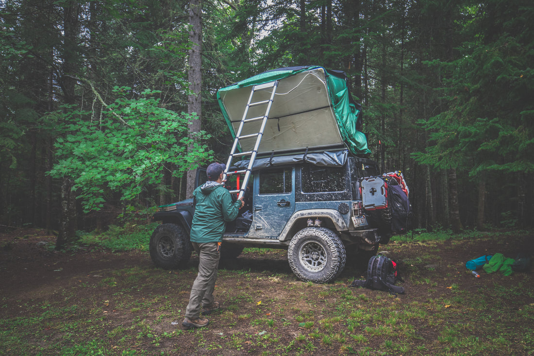
I awoke around 2 AM to torrential rain pouring down, each drop making that soothing sound on the hardshell tent’s molded roof. By the time we got up the next morning the campsite was absolutely soaked and the air had a chill that was unexpected for mid-August in New England. Throwing on a jacket and my trusty trail runner footwear I climbed down the ladder from the Jeep’s roof and faced the day. Others in the camp were also waking up, noises and voices growing in that familiar way that campsites come to life every morning. 
Picture
Breaking Down Camp
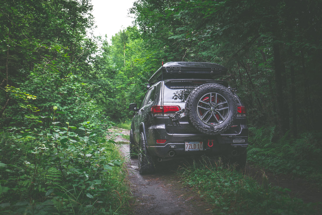
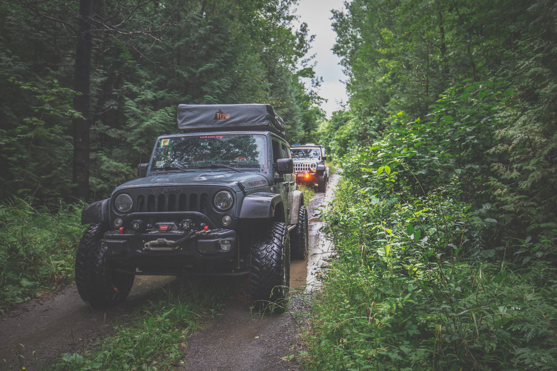
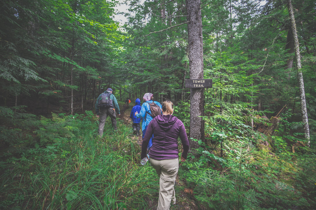
The plan for the day wasn’t overly drawn out… a handful of options had been presented in the pre-trip itinerary, and over breakfast we chose to hike the nearby Allagash Mountain. Tents and stoves were packed up and put away as Bob’s kids ran around with the dogs, and by 09h30 we were rolling out towards our next adventure. The trailhead itself was located just a few miles down a narrow dirt road that strategically began directly across the road from our Round Pond campsite. Dani and I lead the way in the Trailhawk as the four other vehicles fell in line behind us, tall wet grass sliding underneath the vehicle’s skid plates as we drove through the woods, our surroundings eerily dark and vividly green as a result of the overcast skies above. Parking just shy of a wide metal gate in a makeshift lot where the fire road ended, we gathered up backpacks and water bottles before beginning the hike. Shaun wasn’t feeling well, and hunkered down in their teardrop trailer with a handheld radio to sleep while the rest of the group began down the trail.
​
Picture
Ledge Road Trail
Picture
Ledge Road Trail
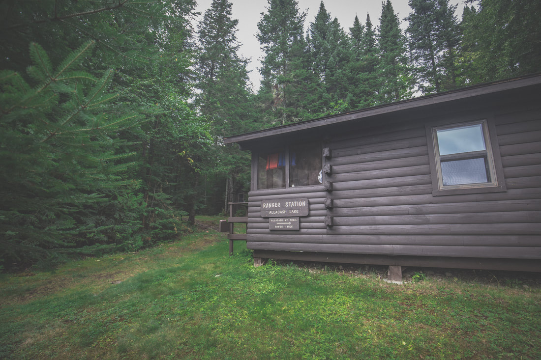
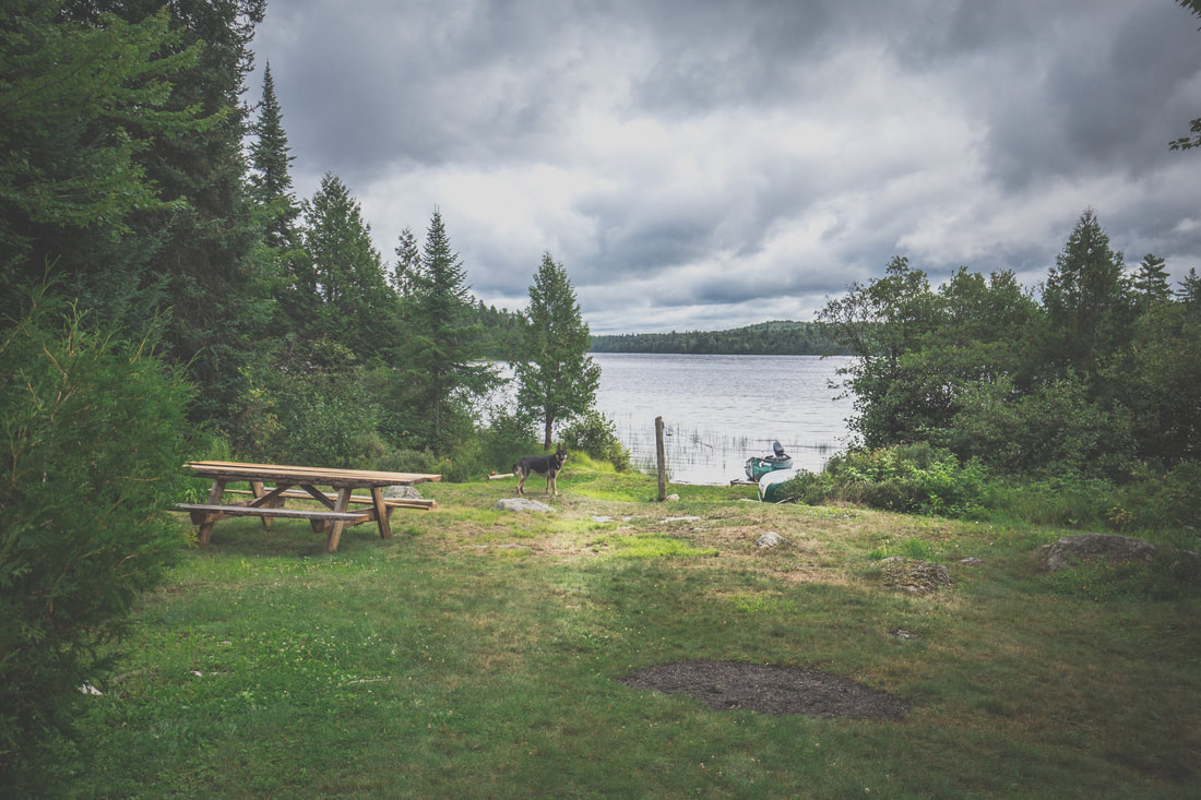
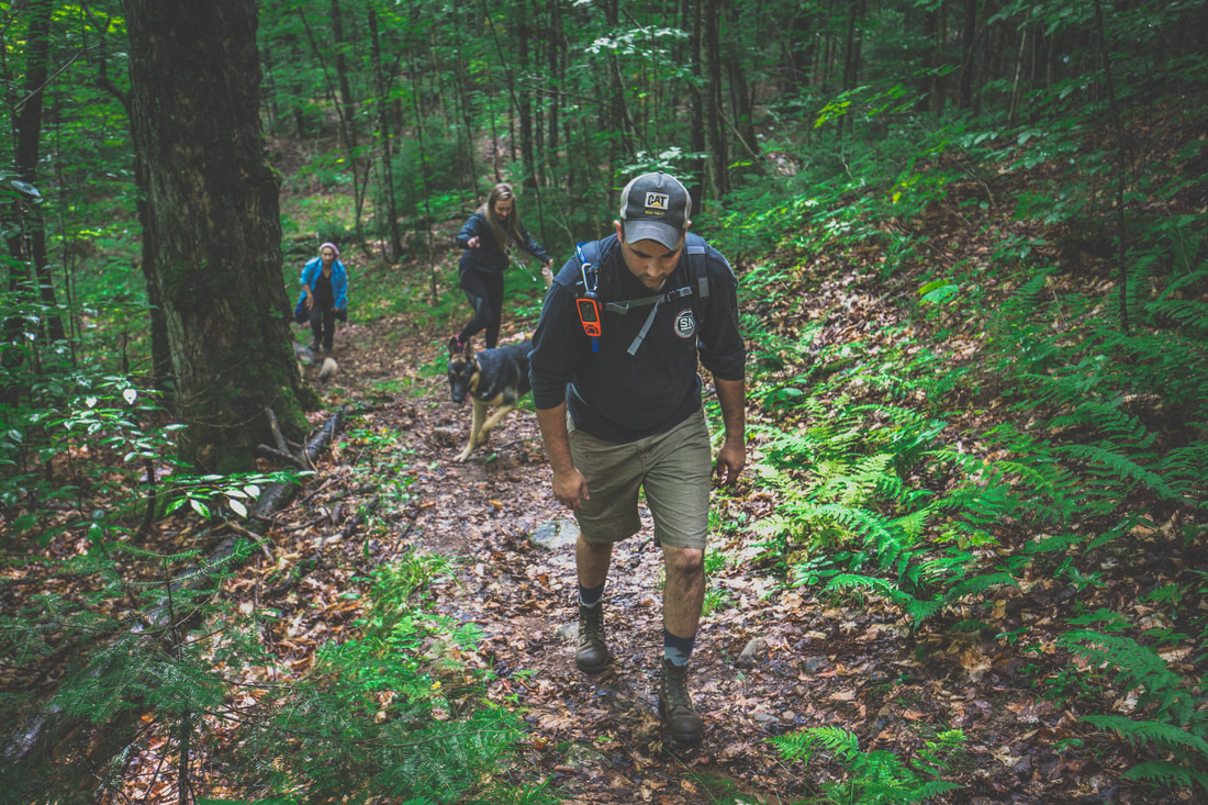
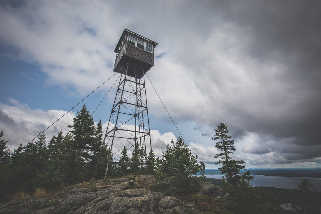
​ ​Allagash Mountain stands 1,770-feet tall and features a thousand feet of elevation gain during its ascent. Round trip the route was in the ballpark of 5 miles, and the summit would feature an old fire tower facilitating views of the entire region. Claude and Ben led the way with Bob and Jessica in tow, while Jenny, Dani, Brendan and I brought up the back. The trail started off relatively level down the remainder of the gated fire road before running straight into the backyard of the otherwise undiscoverable Ranger Station at Allagash Lake, nestled into the woods with gorgeous views of the lake’s waters. From there we turned back into the forest and began the upwards climb, gradual at first before becoming a steep final pitch that left us scrambling up wet rocks and grabbing at tree trunks to maintain balance before emerging to a cleared summit. 

Picture
Allagash Ranger Station
Picture
Views of Allagash Lake
Picture
Picture
​ 
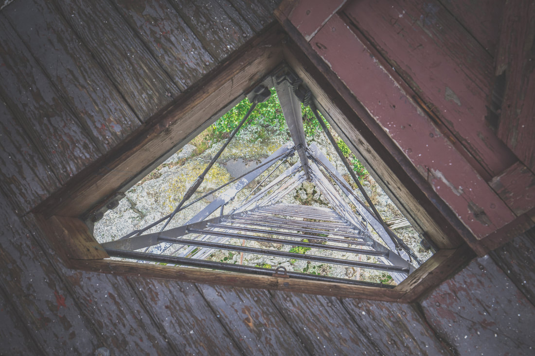
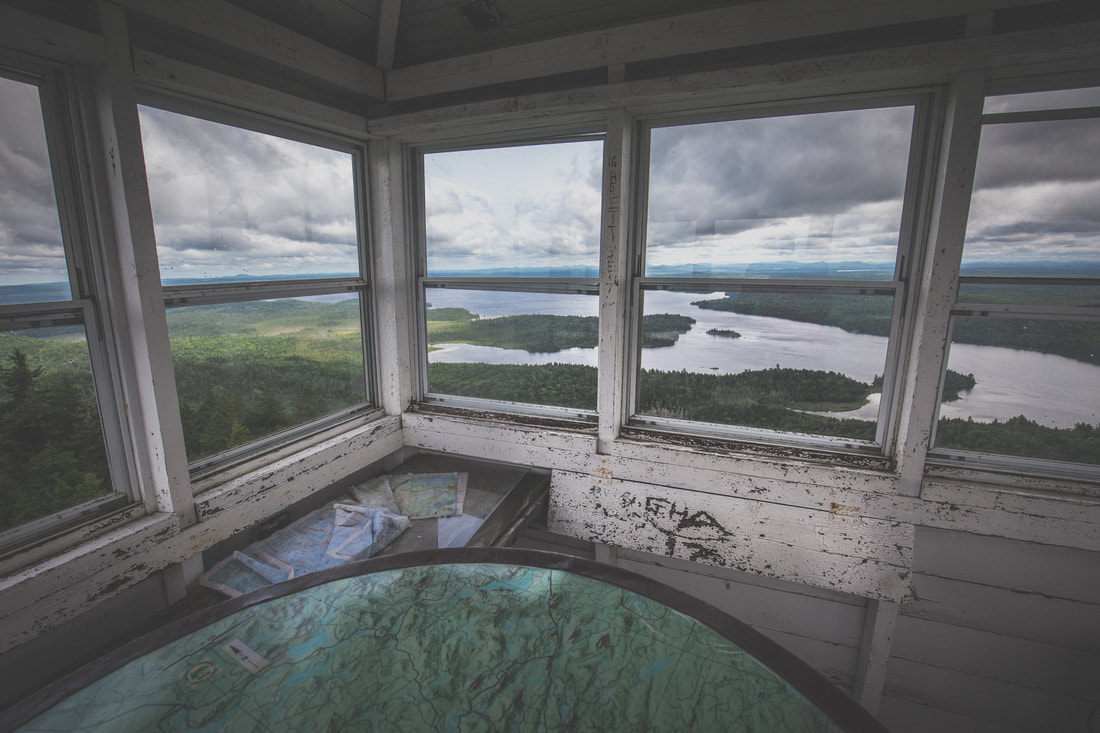
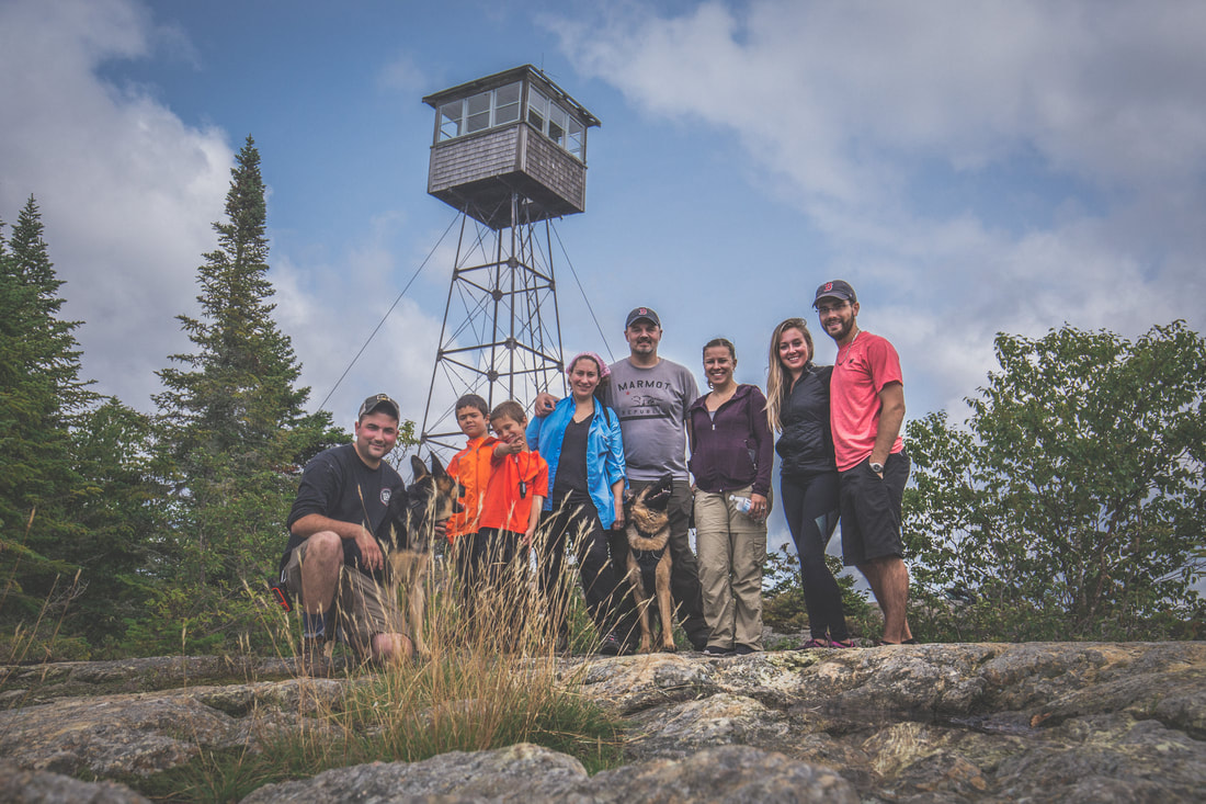
The Allagash Mountain fire tower stood proudly atop the mountain, reminding me of dozens of peaks with the same adornments that were strewn throughout the Appalachian Trail. A strong breeze was moving clouds above us and the morning sun had burned off most of the fog while we were climbing. As the group wandered around, took photos, and enjoyed the view, Brendan and I climbed the narrow ladder up the fire tower itself to see what was inside. Squeezing through a narrow door hinged to the floor of the structure we found old topographical maps, a tiny stove, and what appeared to be an old telegraph/morse code key (I may be wildly wrong, but it truly appeared to be such a device!). I snapped some photos as Brendan consulted the topo map and pointed out at Canada to our west and Katahdin to our south, then we carefully descended the ladder back down to the rocky surface of the summit.
 
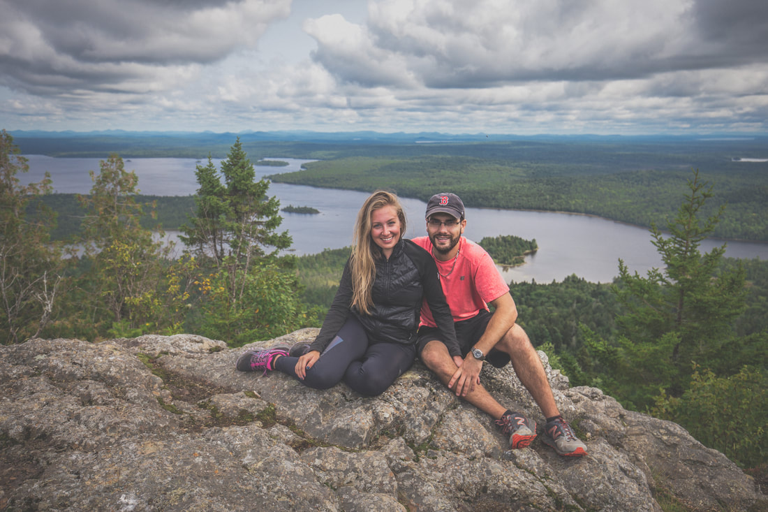
Wedging my camera into a crevice of granite I was able to snap a group photo before we headed back down the mountain. The initial descent was even more difficult than climbing up, with wet rocks and fallen leaves making for less than ideal conditions and sketchy steps forward. The group took just over an hour to get down, having paused briefly for a few slips and falls, and found Shaun drinking a cider in his camp chair next to their Jeep. 
 
Picture
Allagash Mountain Fire Tower
Picture
Inside The Fire Tower
Picture
Fire Tower Views
Picture
Picture
Allagash Mountain Climbers

​​Our drive from the makeshift parking lot to our anticipated campsite at Wadleigh Beach was only supposed to be 11 miles. Rolling out through the fire trail we turned back onto the wider and more maintained roads, increasing our speed and taking in the scenery and warm afternoon air. Dani and I were leading the way when out of nowhere a young moose darted across the road a few hundred feet in front of us. Before I could reach for the Ham radio to call it in to the rest of the group behind us, the huge animal had disappeared into the woods on the other side of the road. I came to a full stop, anticipating another one or two to follow across the road, but unfortunately none appeared.
 
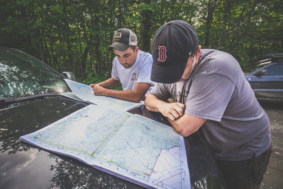
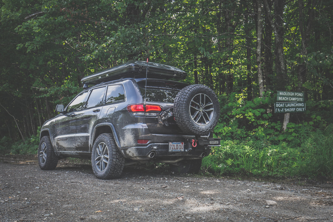
A half hour or so later we arrived at the campsite that Brendan and I had chosen months prior, only to find it happily occupied by a few vehicles with a handful of people down by the lake. We pulled the vehicles off the side of the road, constantly aware of the possibility for a fully loaded logging truck to come flying down the road at any given moment, and laid out our paper maps across the hood of Jenny’s Jeep in search of a new place to spend the night.
Picture
Consulting The Map
Picture
Wadleigh Trail Road
Picture
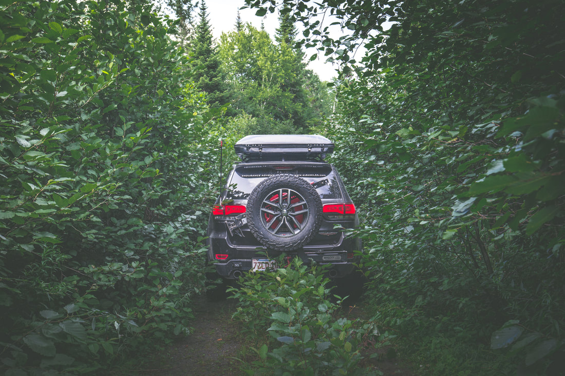
Tight Squeeze
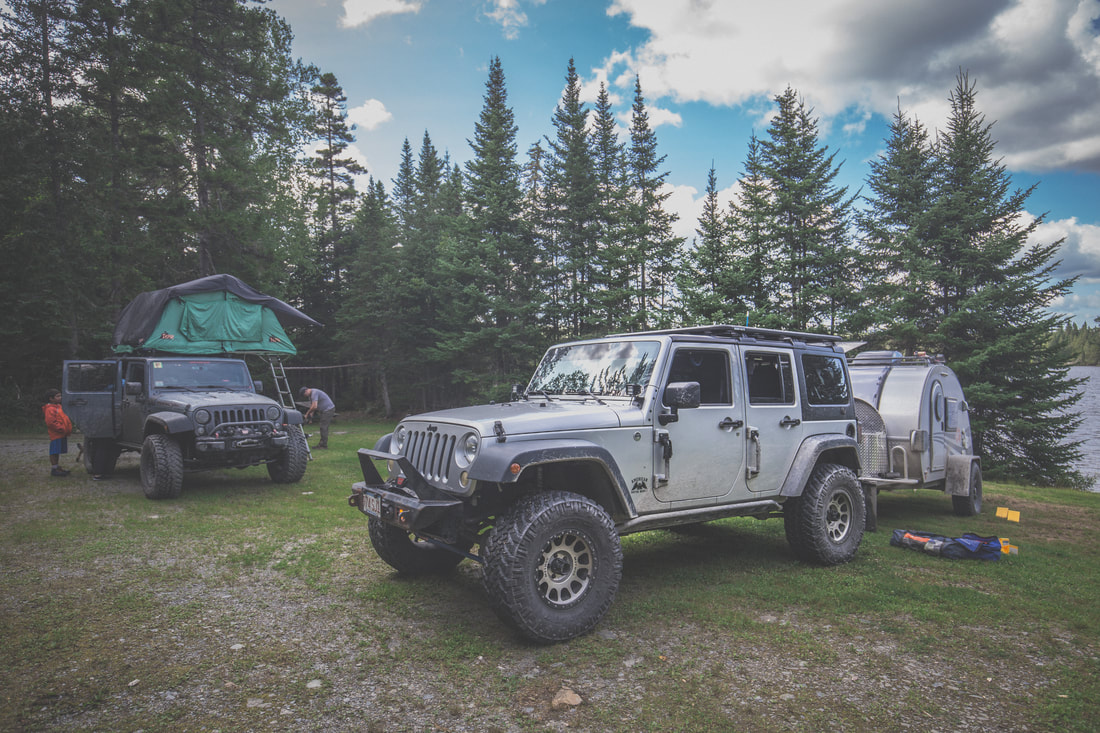
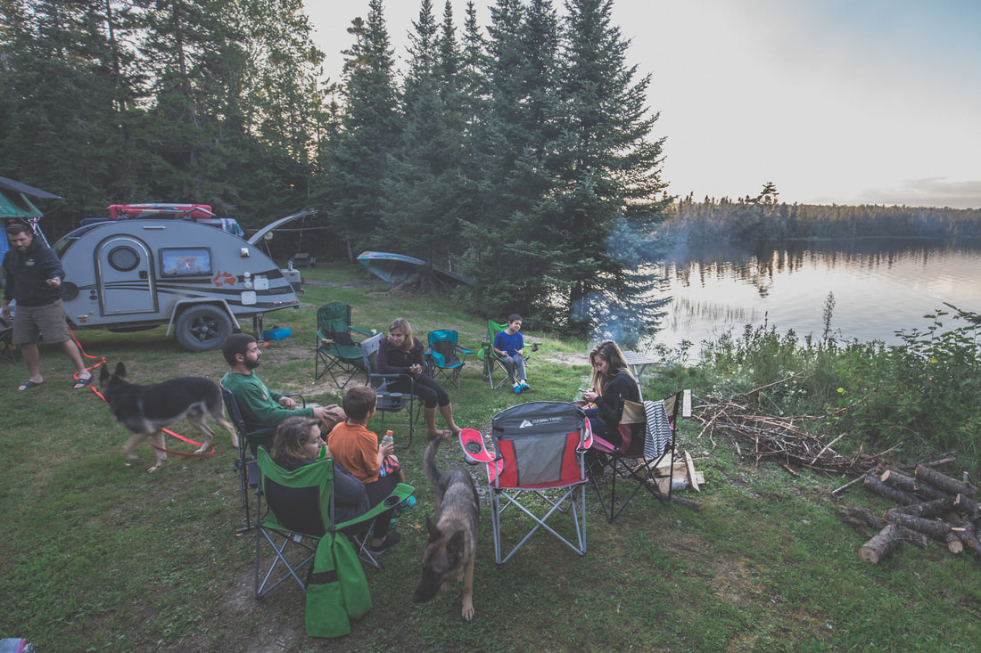
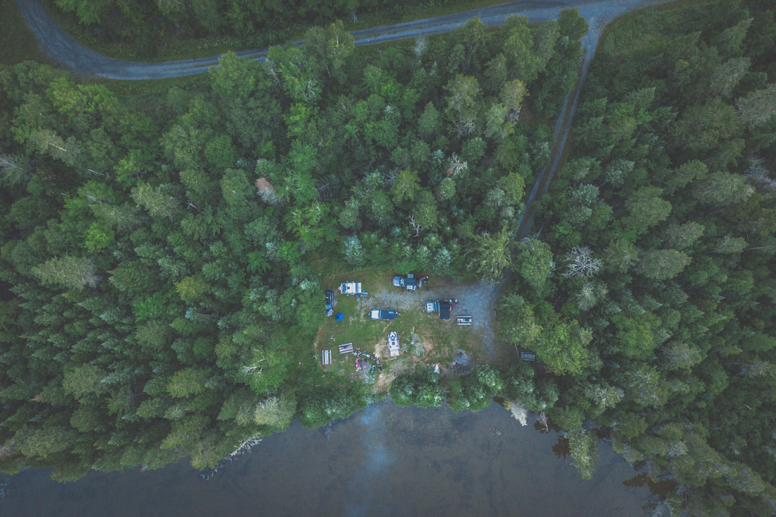
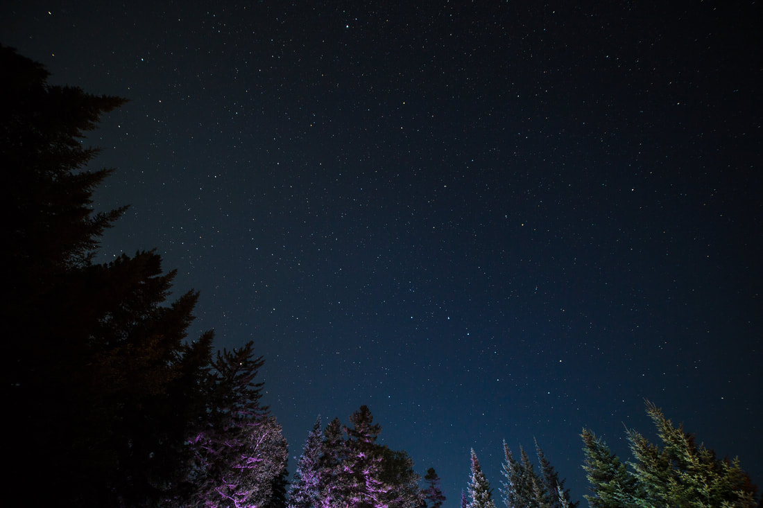
 Lucky for us after inadvertently splitting up, dead ends and u-turns down decades old overgrown trails, and some sketchy radio communications, we all arrived at a quiet campsite nestled right alongside Saint Francis Lake. Dinner was family style taco night, a crowd favorite and pretty much trip tradition at this point, and was followed by smores over the campfire. The night rolled on as a handful of people went to bed, a few of us staying up late drinking bourbon under a vast and brilliant starry sky while Freebird and other instantly recognizable rock songs played on into the night.

 
Picture
Setting Up Camp
Picture
Gathered Around The Fire
Picture
Aerial View of Camp
Picture
Starry Skies Over St. Francis
0 Comments

En Route To Katahdin

8/15/2019

0 Comments

 
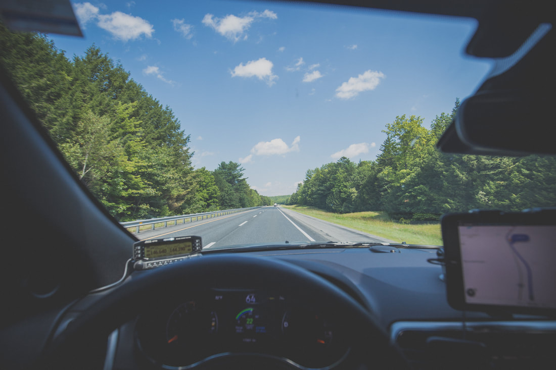
Having packed the last of our gear into the Jeep the night before our departure, we had no reason to rush around the house the morning we left for Maine. With the temperatures climbing into the mid-80s and a good amount of humidity blanketed over Boston, we did a final inventory check and pulled out of the driveway around 09h30. The dash-mounted iPad had GPS coordinates put in for Millinocket, Maine, located some 290 miles north; from there we’d switch over to Gaia, our backcountry navigation app, and make our way off-pavement to our first night’s campsite just south of the North Maine Woods Telos Checkpoint.
 
The highway miles were easy, and the Jeep rolled along smoothly. We had just mounted our new Wildpeak AT3W tires a few weeks prior thanks to a partnership with Falken Tire from Rancho Cucamonga, CA, and I was interested to see how our gas mileage would compare to the factory tires. On top of the Jeep was our brand new hard-shell roof top tent - a 10" tall roof mounted shell that expands to almost 40" tall at campsites allowing us to sleep on the top of the Jeep. Our sleeping bag, pillows, and sleeping clothes are stored in it as we travel, and it collapses back down in just a few minutes when we're ready to move on. Also freshly installed on the front end of the Jeep was Chief Products' Lower Front Guard, a skid plate that replaced the plastic bumper from the factory to add protection from rocks and trees as we adventure through the woods. The Grand Cherokee had all three of these products installed in the last month and here we were, headed into the woods, excited to see how they all performed. 
​
Picture
Comfortably Cruising Up I-95
Picture
Baxter State Park Road
​ 
From Boston to Millinoket we averaged 21 miles per gallon, a number I was pleased with given the equipment load we were carrying. The town and roads were very familiar to me and brought a smile to my face and great deal of memories to my mind. As we slowed to the local speed limits I used every opportunity to point out to Dani places I remembered from the last days of my Appalachian Trail adventure four years prior. We drove through the sleepy town in search of a last snack from civilization before continuing down the final maintained road we’d see for days, our sights set way out of town far beyond where the pavement ended.
 
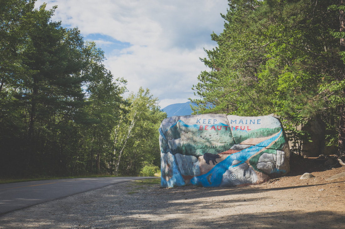
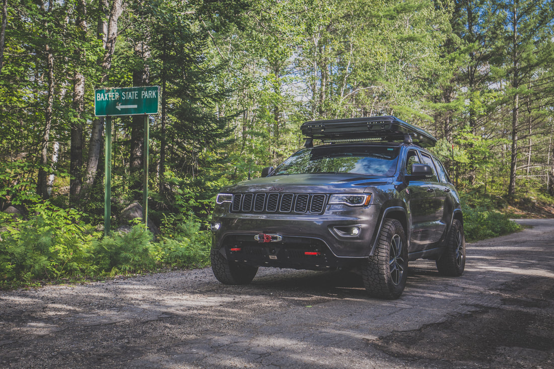
Our final stop was at an old service station/convenience store a few miles outside of town where a gas pump, antiquated by modern standards, rolled its analog dials counting out gallons of fuel at a glacial pace. Writing down the digits behind the pump’s glass, I carried the information inside and paid the attendant while Dani perused the store. Heading out again we traveled down Baxter State Park Road for another fifteen or so minutes before splitting from the dissipating pavement and breathing a sigh of relief as we rolled onto roads comprised entirely of dirt for the first time in the trip.
 
We passed the Abol Bridge Campground & Store, a place where I rested for an hour or two after exiting the Hundred Mile Wilderness during my 2014 Appalachian Trail thru-hike before heading on to Katahdin’s finish line, and continued on Golden Road for a long while. I stopped to fly the drone and capture some footage of Katahdin and the Nesowadnehunk Deadwater, a river flowing out from the Ripogenus Lake just west of where we stood.  
​
Picture
Last of the Pavement
Picture
Bringing Back Memories
​ 
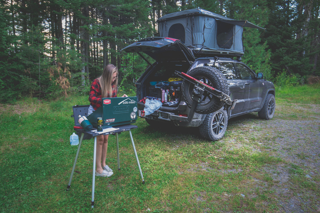
Turning onto Telos Road a few miles from Harrington Pond Camp where we’d spend the night, I was able to reach Bob on his handheld radio. Our 2m Ham radio setup in the Jeep has an incredible range but hearing back from lesser powered handheld units can be a little more difficult in thickly wooded areas. He reported back that the campsite we’d chosen was a perfect spot for the night and directed us to its exact location. An open clearing nestled up along Harrington Pond, the area would easily fit our group’s four vehicles and two trailers once everyone had arrived. Dani and I found a good spot for the WK2 and I got to work setting up the roof top tent while she set up our base camp gear.
 
The Sweeneys arrived shortly thereafter, and the group cooked meals while I got some drone footage over the lake as the sun set. We sat around a campfire until 21h00 when Brendan’s voice came through on the radio proclaiming he was just a few minutes away but would need help finding the nearly invisible turnoff from the main route to access the campsite. I met him on Telos Road with my radio and a flashlight and helped him squeeze his Jeep and trailer down the narrow road, the final vehicle and driver to join our North Maine Woods adventure.
 
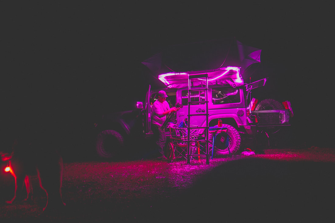
With nine people sitting around a campfire and two dogs playing in the clearing around us, we discussed the days ahead. As the last logs burned down and only the glow of embers (and Bob’s multi-color rope lighting) remained, people retreated to their roof top tents and trailers for the night, excited for the trip that lay ahead of us past the Telos Checkpoint and deep into the North Maine Woods.
​
Picture
Setting Up Camp
Picture
Bob's Roof-Top Tent Lighting
0 Comments

An Introduction To The North Maine Woods

8/7/2019

0 Comments

 
​First off, I’m a year overdue in writing this. That said, better late than never, so here we go.
 
The North Maine Woods is an incredibly unique place consisting of more than 3.2 million acres of privately-owned land abundant with trees, rivers, and almost entirely undeveloped land, located 100 miles north of Bangor and some 6 hours north of Boston. Wikipedia describes it as “a thinly populated region is overseen by a combination of private individual and private industrial owners and state government agencies, divided into 155 unincorporated townships within the NMW area.” and almost enthusiastically notes, “There are no towns or paved roads.” As reference for anyone who followed along with my 2014 Appalachian Trail thru-hike, the southern end of the Woods borders the edges of Baxter State Park.
 
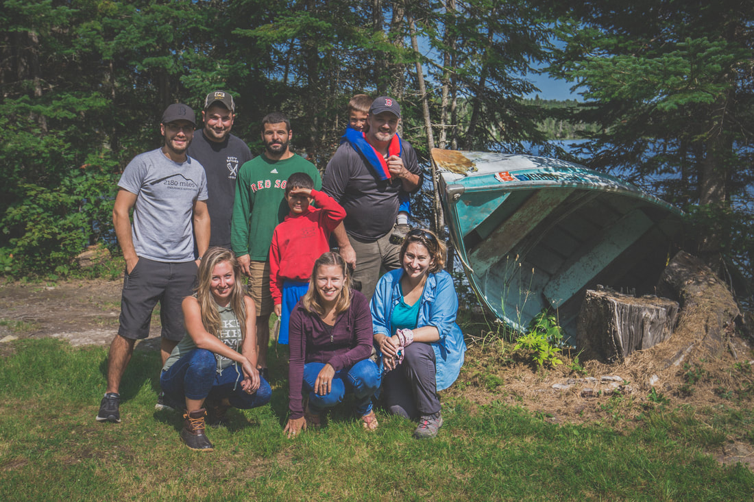
Last August our Jeep/overland club got together for a five-day trip through Maine’s Allagash Wilderness and the aforementioned North Woods as our annual summer trip. A lot of the group are recurring faces from our 2017 QB-5 Overland trip, including myself and Dani, Brendan, his dog Jackson, Bob, Jessica, their boys and dog Niko, and Shaun and Jenny. All together we had two Jeep JKU Wranglers and two Jeep WK2 Grand Cherokees, two roof top tents and two teardrop trailers. It’s a group that travels well together and this trip was no exception to our adventures in years past.
​
Picture
The 2018 North Maine Woods Crew
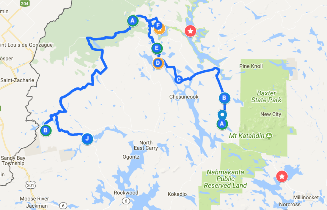
Brendan (back row, second from left) and I worked over the course of a few weeks drawing up a route, referencing data and maps from this group’s 2016 trip through some of the same regions. For those that have never heard of, visited, or planned a trip through this remote section of Maine, it’s unlike anywhere else in the US. With no established towns the areas are instead divided into a grid and labeled by location on a horizontal and vertical axis. For example, one of our campsites might be located in an area called T3R10, or further northeast at T12R15. Once we established where possible campsites were, we’d plot out exact GPS points and then begin stringing trails and roads together to create a route.
 
Having enough data compiled for a 5-day, 4-night adventure through one of the most remote places in America, we then turned to mapping gas stations, hospitals, and general “SHTF” waypoints in the event of an emergency. As far as the North Maine Woods goes, you’re basically on your own shy of a MedFlight chopper. Fuel, food, and first aid must all be carried on-board the vehicle, and redundant supplies for parts and troubleshooting are all on a bring-what-you-need basis.  The route spanned a respectable 800 miles (including the drive to/from home) and gave us 3.5 days inside the Allagash Wilderness to explore, hike, swim, and relax.  
 
With the maps digitized and the details detailed, it was just an inpatient waiting game until our date of departure.

Picture
0 Comments

Overland Expo Contest Winner

2/28/2018

0 Comments

 
I am absolutely elated to announce that I won OverlandExpo's national photo contest with my "Epic Winch Pull" photograph. As the grand prize, Dani and I will be bringing the Jeep down to OverlandExpo East next fall just south of Asheville, North Carolina. Not only will this be an amazing opportunity to meet with other overland enthusiasts from across the country and check out their vehicles, but we'll also get to attend a myriad of classes for navigation, mechanical maintenance, technical driving, and more. I'm very excited to be able to display the Trailhawk during the weekend-long event, highlighting the modifications & installations I've done to it over the last year, and the continued advancements that will happen in the coming months.

I just wanted to take a second to thank each and every one of you who took the time to vote for my image. It seems that 2018 is already flying by but I promise there are big plans for travel, hiking, photos, and even more narratives of adventure. Can't wait to see where the rest of the year takes us, and I hope you'll come along for the ride!

Onward & upward,

Ryan
Picture
www.OverlandExpo.com/BestShot

Picture
Expo East - Here We Come!
0 Comments

Photo Contest Finalist

2/21/2018

1 Comment

 
Hey all!

So I found out today that one of my photos (below) was voted into the Overland Expo Photo Contest, and last night was chosen by judges as one of the top 8 images. Overland Expo is the host of two gigantic events - one on each coast- where overlanders get together to show off their vehicles, check out new equipment, meet other people with the same passions, and share stories of adventure. I was hoping you all might take a chance to vote for the photo, potentially allowing me to go to the 2018 Expo! By their rules you can vote once per day, per IP address.

Thanks so much for the consideration, and perhaps even your vote!

Here's the link:

Overland Expo Photo Contest

Here's the story:

While winter wheeling with a friend in New Hampshire’s White Mountains my Jeep broke through thick ice of a frozen-over river, requiring recovery from my buddy’s JKU. I took a moment to photograph him pulling the FlatLink at the end of his winch line towards the Grand Cherokee to pull me back safely. The photo was handheld, taken at ISO400, f/2.8, 1/50" exposure.

And here's the image:
​
Picture
1 Comment

Finale of Summer Adventures

12/31/2017

0 Comments

 
 Happy New Year’s Eve.
 
I promised a friend I’d get this summer’s trip write-up finished by the end of the year… This fall proved to be exceptionally busy and life certainly hasn’t slowed down in the last few weeks. As such, I sit here in very cold Boston, Massachusetts (it's -12°F with windchill) watching Rockin’ New Years Eve on ABC and writing the finale blog post to a summer of adventure… so here we go, the storyline of the last 530 miles of the journey.
 
I slept soundly in Puxatawney, waking with the sun and quickly packing away the gear inside the Jeep. I snapped a quick photo of the “campsite” and was on my way again, navigating the sleepy back roads before eventually arriving back on I-80 eastbound. My dreams of cruising along through Pennsylvania were quickly shattered as traffic backed up for miles due to seemingly endless construction. Knowing that my days were numbered as a roadway traveler, I rolled the windows down and turned up the music, enjoying the rolling green hills around me as I worked my way towards Poughkeepsie, NY. My plan was to complete the 300 mile route to visit my aunts and grandparents, spend the night, then head on back to home in Boston. 

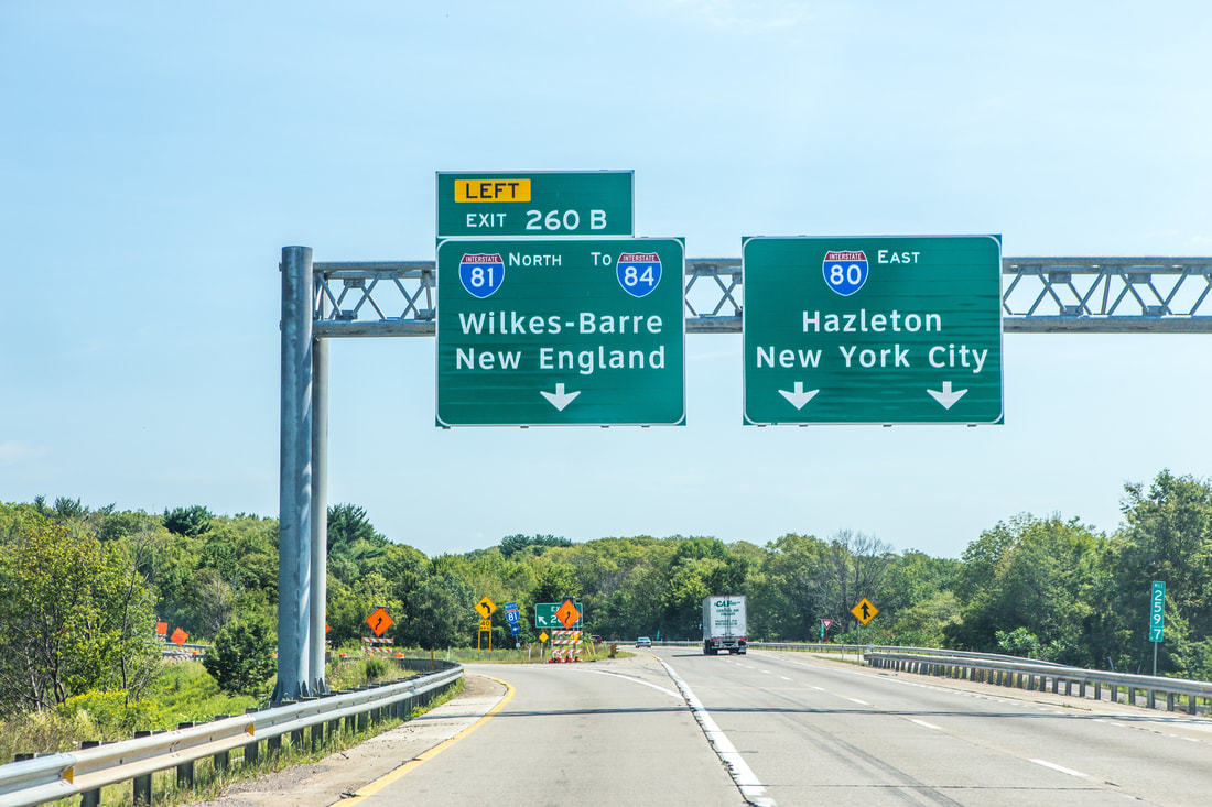
Shortly after 10h00 the traffic cleared up, and within an hour I saw my first Massachusetts license plate. With cruise control set to 70 I passed by corn fields and under party cloudy skies, eventually turning onto I-84 around Scranton, PA and seeing the “Welcome to New York” sign shortly thereafter. I pulled into Poughkeepsie in the mid-afternoon and spent an enjoyable afternoon relaxing with family and showing them the photos of the trip I’d so far had the ability to catalogue and touch up. We ate an early dinner at one of my grandparents most frequented local restaurants, and I fell asleep not long after the sun went down.
Picture
My Puxatawney Campsite
Picture
Headed Back to New England
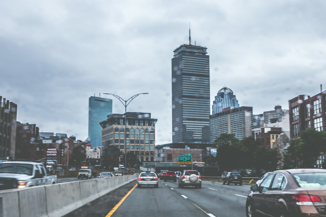
​The next morning came quickly, and I stared out the window at an overcast world while a gentle rain fell on the Hudson Valley. I ate a quick breakfast and talked about plans for future exploration endeavors with my grandfather – a man who always saves New York Times obituaries of great adventurers for me to read. Somewhat anxious to get home, I loaded what little gear I had brought inside and hugged my grandparents before hitting the road around 11. As I headed towards the Taconic State Parkway the rain steadily increased in volume, eventually becoming a downpour by the time I got to I-90. The three and a half hour drive went by without a hitch, and crossing back under the Boston skyline put a huge smile on my face and a sense of sadness in my heart. Crossing over the Zakim and Tobin bridges and getting off the highway, I pulled into my driveway and sat in the driver’s seat for a while without moving, a light rain still falling on the Jeep's roof.
​
Picture
Welcome Back to I-90
Picture
Finally Home
It had been 24 days since leaving this same place, and our Trans-Canada Overland Expedition, as I've come to call it, had covered 6,793.3 miles across 5 Canadian provinces and 11 U.S. states. We averaged 23 miles per gallon over the distance, consuming just under 300 gallons of gasoline, 176 of which were purchased as Canadian liters. We carried a reasonably sized and exceptionally reliable array of vehicular gear, mechanical equipment, radio/comms/navigation systems, camping gear, and photography equipment, the majority of which was used almost daily. With the sole exception of what was now a sizable crack in my windshield from the dump truck in North Dakota, we had traveled nearly 7,000 miles without an accident or police interaction of any kind. We saw two of the most beautiful national parks I’ve ever laid my eyes on, stood and camped under vast starry skies, and soaked up some of the most indescribably brilliant colors beaming up from lakes so spectacular I’ll never be able to adequately describe them to you. The trip was a complete success, and one that will forever serve as a basis for a passion in long-distance overlanding and even weekend backcountry exploration on wheels.
 
Thank you all for following along and sending in your thoughts, comments, and compliments; above all though, a special thanks to each of you for your endless support of and enthusiasm towards adventure.
 
It’s 23h28 as I finish typing this... meaning I’ll be able to publish the blog before midnight on the last day of 2017, as promised. Happy New Year to all, and best wishes for your year ahead... I'm sure we’ll talk soon :)
 
Onward & upward,
 
Ryan McKee
0 Comments

Hoosiers, Buckeyes, & Quakers

12/30/2017

0 Comments

 
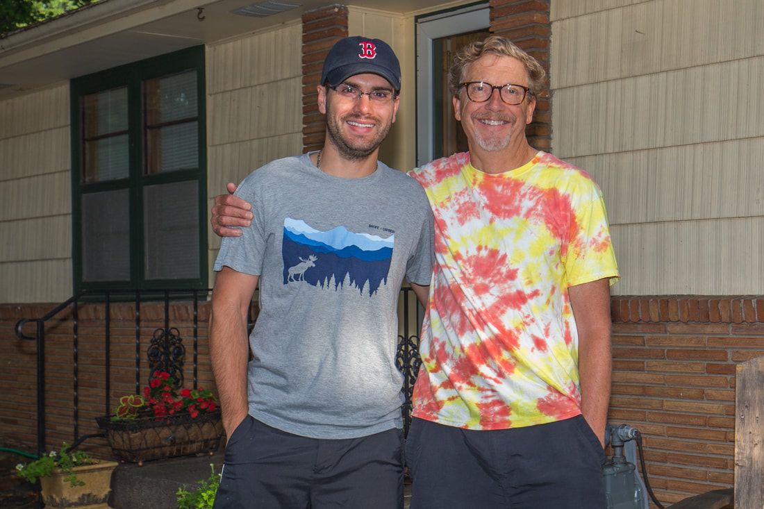
​I slept like I was dead on a full stomach of delicious food. It was easy to see that the past few days of traversing the U.S. was taking a slight toll on my body, and I was somewhat looking forward to getting home and relaxing for a while. I took a hot shower and joined Marcus and Molly in the kitchen for breakfast, enjoying a half hour of a family lifestyle, something I’ve long since been absent from in my own life, as their son Andrew got ready to take his driver’s permit test that morning. I was out the door by 08h00 and on the road just in time to be caught up in Chicago’s morning traffic. It was Wednesday August 16th, and I had 1,100 miles to go until I was back in Boston. For the first time since leaving Calgary, I had no real plan as to where I needed to be at the end of the day. I only knew I wanted to be within cruising distance of Poughkeepsie, NY for the next day, where I was hoping to visit with my aunts and grandparents. 
Picture
Saying Goodbye to Marcus
Picture
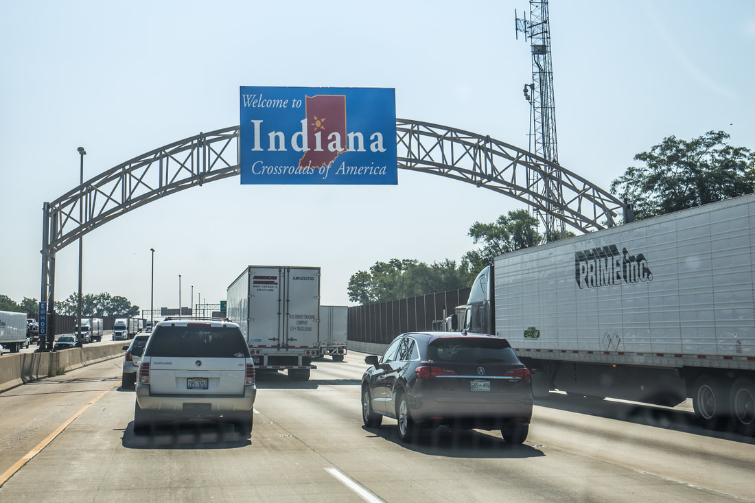
Entering State #6
​ 
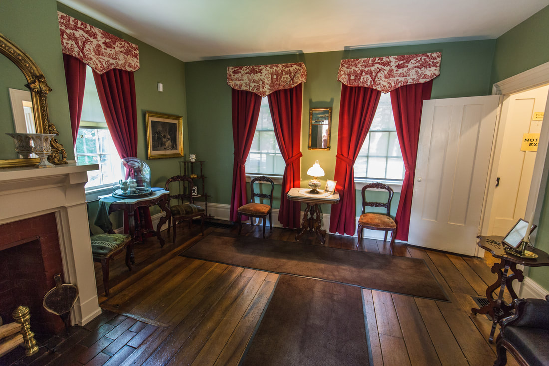
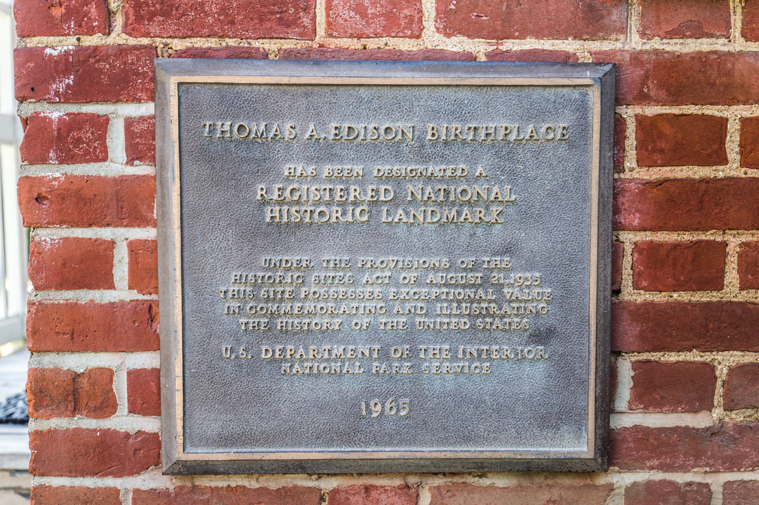
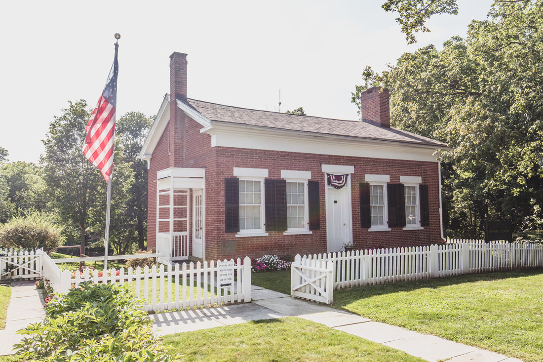
Despite the traffic I crossed into Indiana within an hour, thereby entering my 6th state since the border crossing in Wild Horse in Montana. The highway eventually opened up again and I set the cruise control for 75, happily moving along with the music up and listening to occasional chatter on the CB and HAM radios in the cab of the Jeep. By the late morning I was into Ohio, the sun shining overhead and casting its light down on the vast fields that skirted both sides of the highway. Shortly after noon I stopped for a quick lunch at a highway rest-stop and found myself staring at a map of notable locations in Ohio; there hadn’t been much by way of beautiful photography opportunities in the past few days and I was itching to see something aside the paved roads and reflective paint lines that sprawled out endlessly ahead of me. As far as accessibility was concerned my options seemed few; I could go an hour out of my way to photograph a lighthouse on the shore of Lake Erie, arriving far too early for any kind of sunset opportunity, or I could move forward an hour or so to the small town of Milan where I could visit the childhood home of one Mr. Thomas Alva Edison. The latter option quickly became the obvious choice.
 
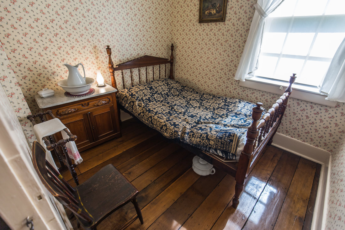
Hopping off the highway and following signs for the village of Milan, I wandered down quiet streets with beautifully homes on either side until I arrived at a small brick home on a dead-end road. I hopped out of the Jeep and entered through a door labeled “Office” as a half dozen other people walked out. Paying the reasonable $7 entry fee for the tour, I joined the family I had just seen next door in the brick home and began what ended up being an absolutely fantastic tour of the Birthplace of Edison. Being in the technical industry where Edison and Tesla are often argued against each other, I know a fair bit about Thomas’ inventions and mishaps in the invention process, so naturally as the tour guide quizzed the group I would answer as best I knew. By the end of the tour she simply referred to me as “Boston” and seemed to expect I’d have the answer to every question she inquired. At the end of the tour as the family made their way back to the car, I spoke with the tour guide a bit more as she asked what brought me by Milan. Her husband is a backcountry hiker and son was attending school in Vermont, so we spoke at length about the Appalachian Trail and Long Trail hikes. Before leaving I asked about her opinion regarding places to stop for the night and she pointed me towards Ohio’s Cuyahoga Valley National Park, located another hour east on I-80. I plotted the destination in the iPad’s navigation software and eased my way back out of town as quietly as I had come.
Picture
Thomas Edison's Birthplace - Milan, OH
Picture
Edison's Childhood Bedroom
Picture
Family Living Room
Picture
A National Historic Landmark
Picture
About to roll 10,000 mi
​ 
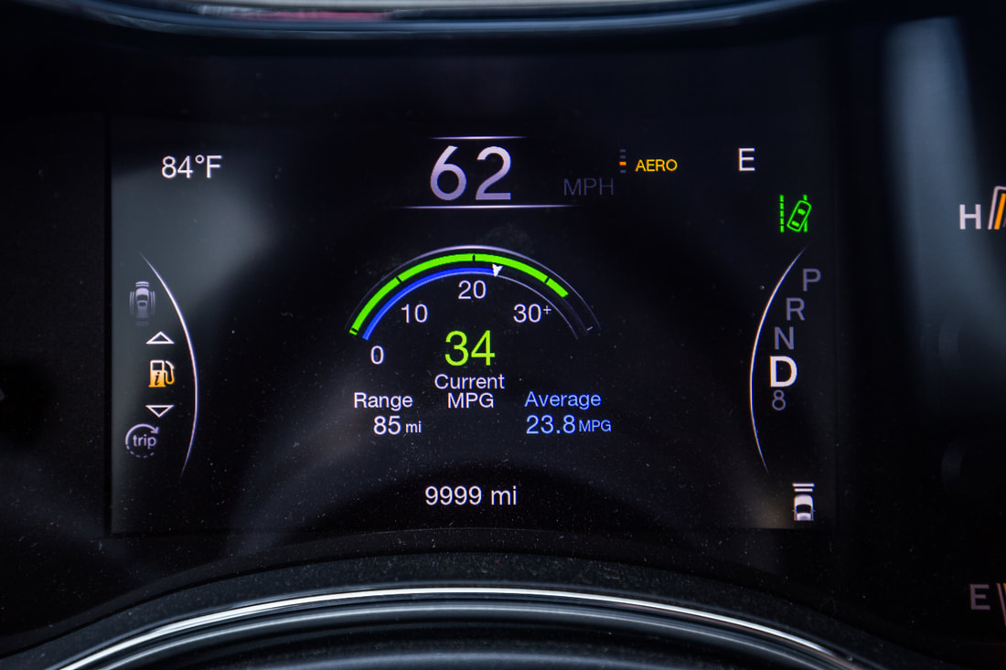
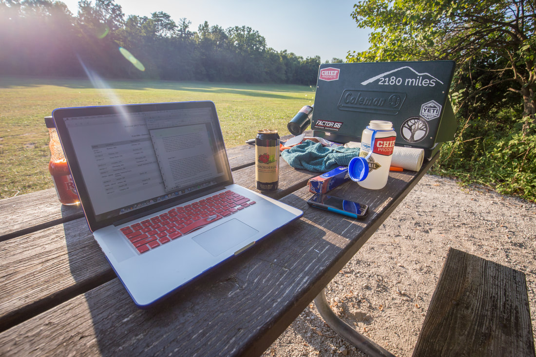
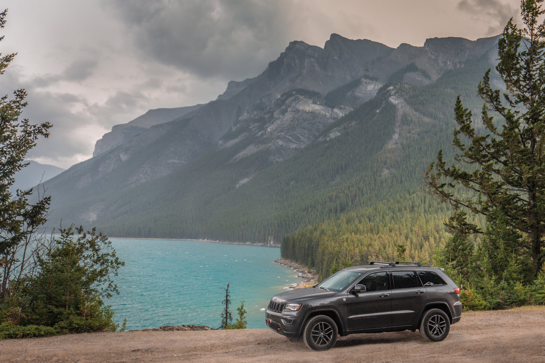
Somewhere between Milan and the National Park, on the phone with Dani as she finished work, I looked down at the odometer to witness the Jeep (now 8 months old) roll from 9,999 miles over to 10,000. Being the first brand new car I’ve ever purchased, I’ve never had an odometer be that low to witness this moment, which I found to be very exciting.. quite the long trip this had been! As the sun began sinking in the sky I pulled off towards Cuyahoga Valley and found myself a nice open field in the park to have dinner at. I laid out my laptop and the Coleman stove on a picnic bench and began cooking a tuna and pasta meal and blogging simultaneously as families and their dogs wandered around the park grounds. As soon as my meal was completed I washed my dishes and packed up my gear, returning to the Jeep and doing some research as to any known “wild-camp” sites I could reach on the western side of Pennsylvania before calling it a night. Using a little creativity with Google’s Earth View mode, I found a little dirt clearing on the side of a forest access road on the outskirts of of Punxsutawney, PA where I’d aim for.
 
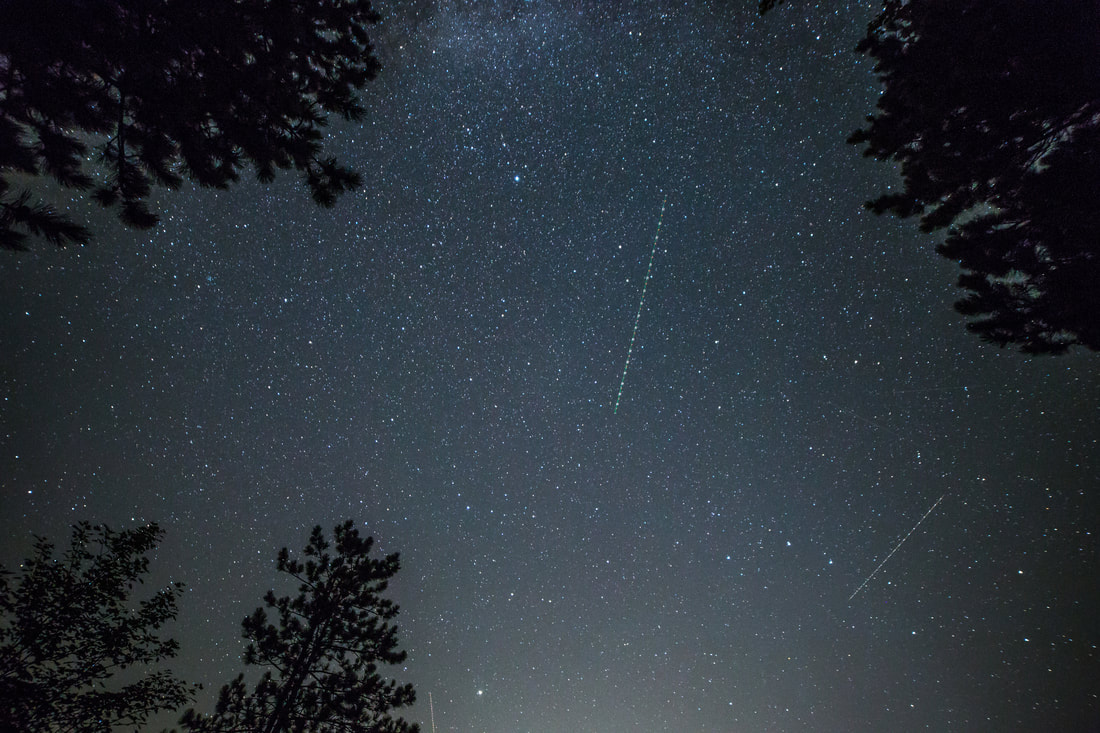
The ride would take another 3 hours, the majority of which I’d spend in the pitch black on an otherwise empty highway with the 30” LED bar blazing the path ahead of me with light. My music was loud and the moon roof open allowing the warm summer night’s air into the cabin. Shortly before 23h00 I pulled off the interstate and found my way along the breadcrumb trail of the GPS to the wild-camp site I had selected. I backed the Jeep up off the dirt roadway and turned on the reverse lights to illuminate the area as I set up my camp for the night. The stars shone brilliantly overhead, leading me to snap a few images with my camera before climbing into the Jeep and laying down for the night, hearing the crickets chirp outside through the windows I had vented for air circulation. In a million years I’d never have guessed I’d be camping in Punxsutawney Phil’s hometown, but here I was… another day further east, closer to home, and absolutely exhausted.
 

Picture
Cooking Dinner at Cuyahoga Valley National Park
Picture
One More Night of Starry Skies
0 Comments

Famous Pies & Homemade BBQ

12/29/2017

1 Comment

 
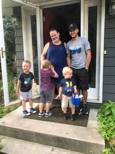
​I woke up early to have breakfast with Greg and Carol before heading off on my next leg, a 450 mile haul to the Chicago suburbs where I’d spend the night with my buddy Marcus and his family. The ride was to be relatively straightforward, taking I-94 and I-90 for 6 and a half hours before arriving in Lemont, IL. Quickly packing up the Jeep after a toasted bagel with an assortment of cream cheese options, I made use of being in Minneapolis and stopped by my friend Emma’s house (Greg’s daughter) to meet her three young boys. Hanging out for half an hour or so, I hopped back in the Grand Cherokee and headed towards the highway. The weather was absolutely perfect, in the mid-60s with the sun shining and wispy clouds in the air. I rolled the windows down and rolled my eyes as I eased onto the brakes and made my way into the stop-and-go traffic of Minneapolis’ morning commuter traffic.
Picture
With Emma & Her Boys
Picture
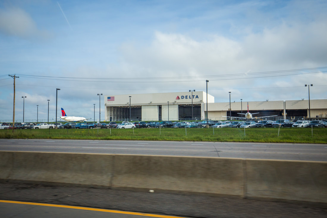
Passing MSP's Delta Hangar
 
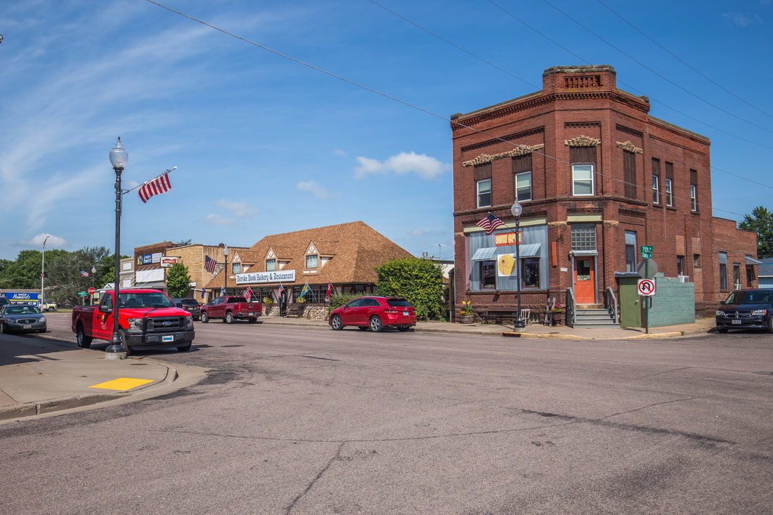
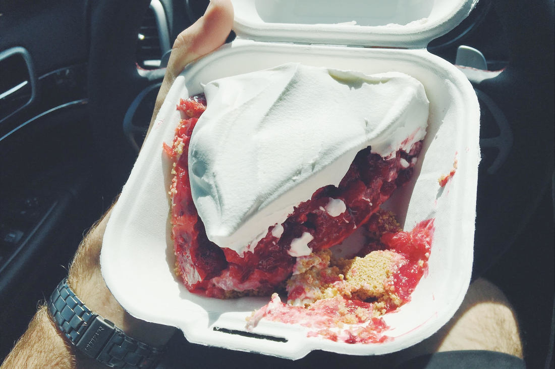
With the promise of Marcus’ famous homemade BBQ waiting for me in Lemont, I knew my day was to destined to have minimal distractions en route. I had but one instruction: to stop in Osseo, Wisconsin, at the famous Norske Nook Bakery to pick up pies. Two hours after my departure I pulled off the highway and began following the GPS down the quiet back roads of Osseo. Easily finding parking alongside the bakery, I wandered inside to discovery a little breakfast restaurant with a wide array of pies lining the food display cases. I had been given specific instruction from Marcus to get a banana cream pie for him and strawberry-rhubarb for his wife Molly… I then of course needed a slice of raspberry pie for myself. The challenge with the pies was keeping them from baking in the sun over the course of the remaining hours of my drive. Of course I had the fridge in the back, but fitting the gigantic pies required me emptying out everything else from inside and then rearranging it all. Not wanting to let Marcus down with his one simple wish for pie, I sat on the edge of the road in this tiny little town and unloaded every piece of produce from the fridge onto the sidewalk and wiggled the pies in (with less than a millimeter to spare on each side) and piled everything else that would fit back in on top and discarding food I knew I wouldn’t be consuming before getting home.

I drove slowly back out of town, cruising down wide roads with small houses and manicured front lawns before merging back onto the highway and back into the figurative slipstream of interstate travel. Everything was going flawlessly until I reached for my single slice of pie and realized I didn’t have a utensil to eat it with. Fear not, I flipped on my hazard and strobe lights and pulled over to the side of the road to fish one out of our cooking gear in the back of the Jeep. I was laughing as 18-wheelers were moving over into different lanes to give me space in the brake-down lane as they whizzed by… if only they could have known I was simply looking for a fork to eat my pie with.
 
Picture
Downtown Osseo & The Norske Nook
Picture
The World's Most Delicious Pie
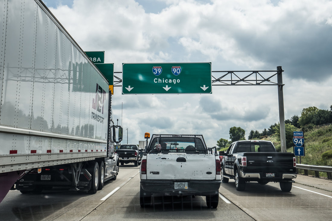
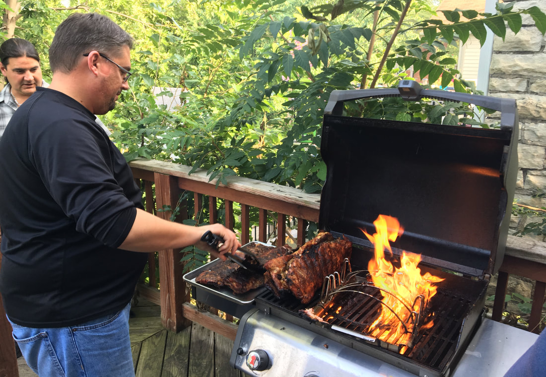
I hit the traffic starting about 40 minutes outside of Chicago, making a brief pit-stop to fill up the Grand Cherokee’s tank and getting back on the road. I’d been getting text messages all afternoon of the food Marcus was preparing, and I was eager to get there. I crossed the Illinois state line just after 15h30, and arrived at his place about an hour later. We spent the night sitting around the table on his back porch with neighbors, family, and a few friends from work who were in town doing production for an event in the city. The vast array of food was incredible and I did my best to pace myself to ensure I consumed as much as I could. We finished the night with the Norske Nook pies I had carried 350 miles for dessert, and I retired to bed on a massively full stomach. It had been a relatively short day in comparison to the long hauls the two days prior, and I rested well knowing that the trip was slowly nearing its end. 
 
Picture
Traffic on the Outskirts of Town
Picture
Marcus The Master Chef
1 Comment

Miles Of The Midwest

11/30/2017

0 Comments

 
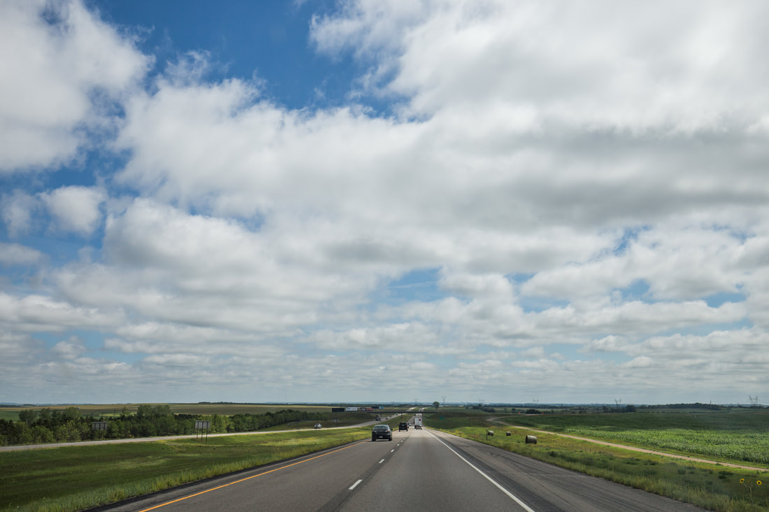
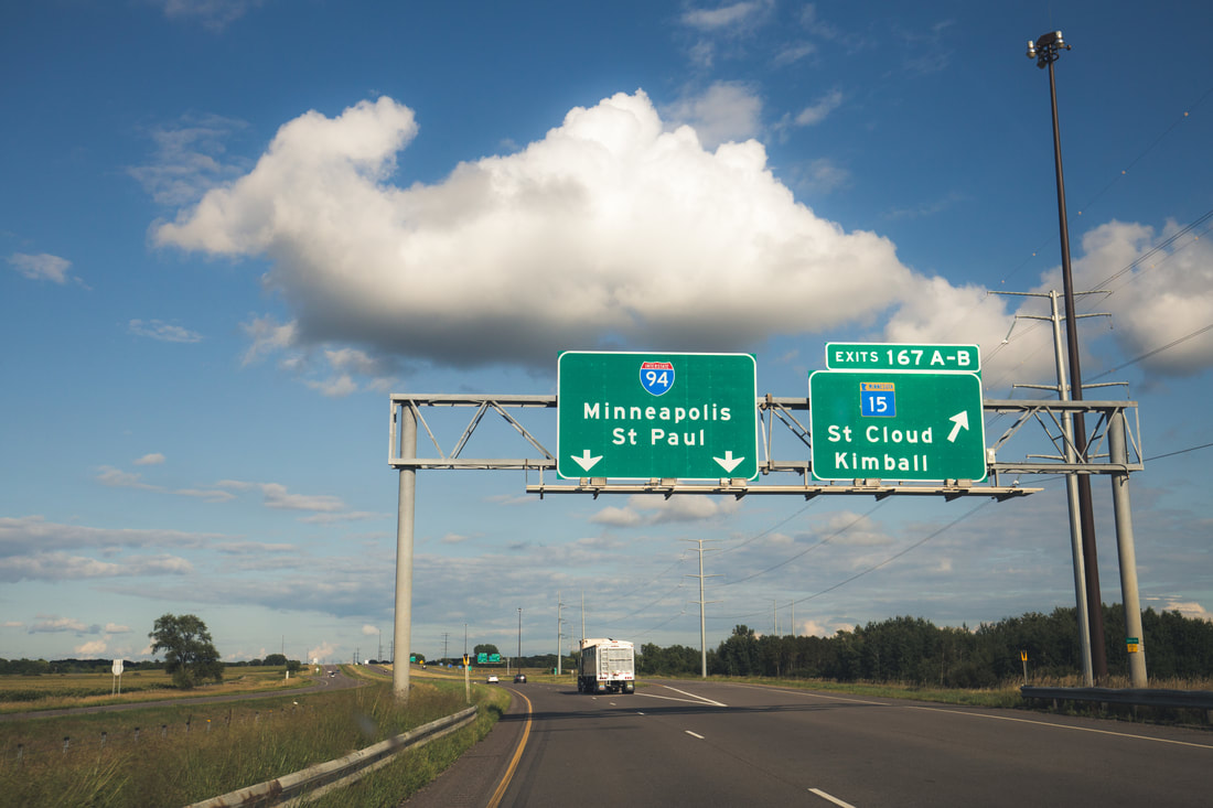
​There’s an exciting and simultaneously disorienting feeling when waking up in the back of an SUV in the middle of a massive and otherwise empty field in the Midwest. I packed up my camping gear into the appropriate storage locations and hit the road as the sun crested the hilly horizon, following along Route 200 for about ten miles to meet up with I-94, the road I’d ultimately be spending most of my day on. I stopped at a huge gas station to fill the tank, happily paying $2.23 a gallon at my first re-fuel in the United States in three week’s time, and grabbed a quick breakfast sandwich before hitting the road again. My goal for the day was to reach Minneapolis by dinner time, where I’d be spending the night with a long time family friend Greg and his fiancée. 
​
Picture
Sleeping Arrangements
Picture
A Long Way To Go
Picture
State Line #2
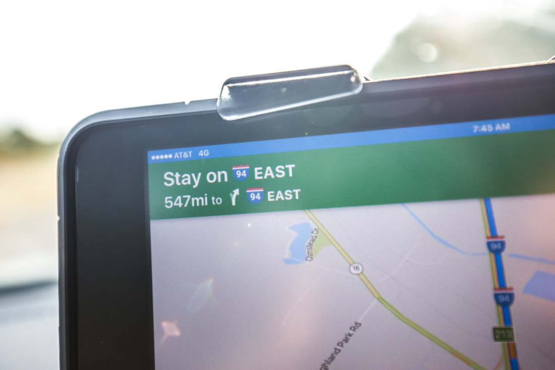
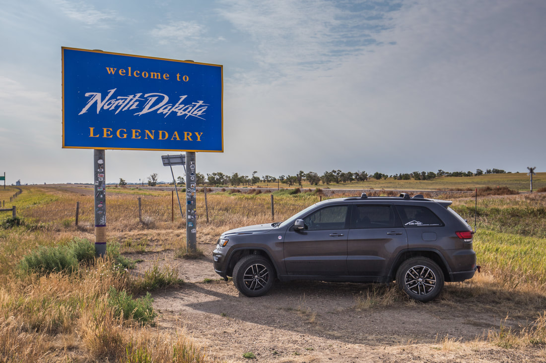
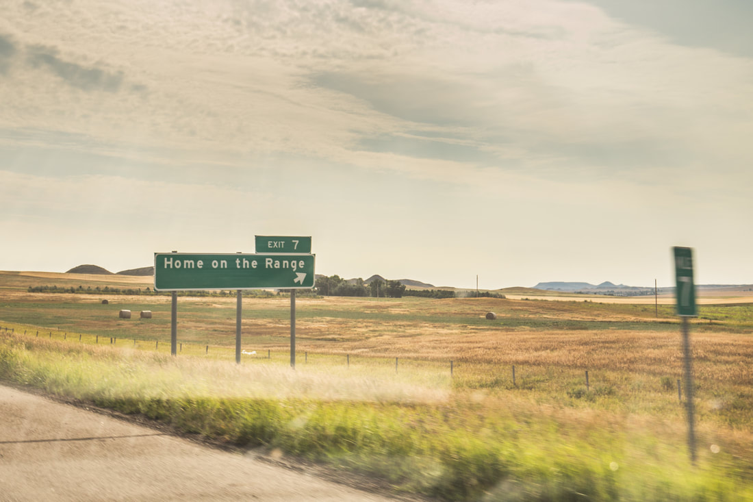
Merging eastbound onto I-94, I was happy to see that the highway was relatively empty, leaving me to move along without interruption from the GPS for the next 547 miles; I was relaxed and simply in the mood to cruise.  The road started fluctuating in elevation as I moved towards, and eventually into, North Dakota. I stopped for a bit at a scenic vista of the Little Missouri National Grasslands, listening to music with the windows down and taking a few photographs as other drivers stopped to do the same. Getting back onto I-94 I was almost immediately greeted with stones being thrown towards the Jeep by two large trailers full of construction gravel. Though I didn’t notice it at the time, one of the harshest impacts ended up creating a large crack in the lower passenger side of my windshield which would end up growing to nearly 18” long by the time I reached Boston a few days later. I sped by the trucks as quickly as possible, passing (and giggling) at the sign for Exit 7 to “Home On The Range, North Dakota”, swearing to myself I wouldn’t stop until I was an hour or two away and well out of the trucks proximity with hopes of never seeing them again. 
​
Picture
Picture
Picture
​ 
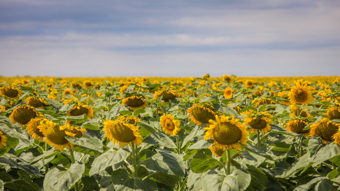
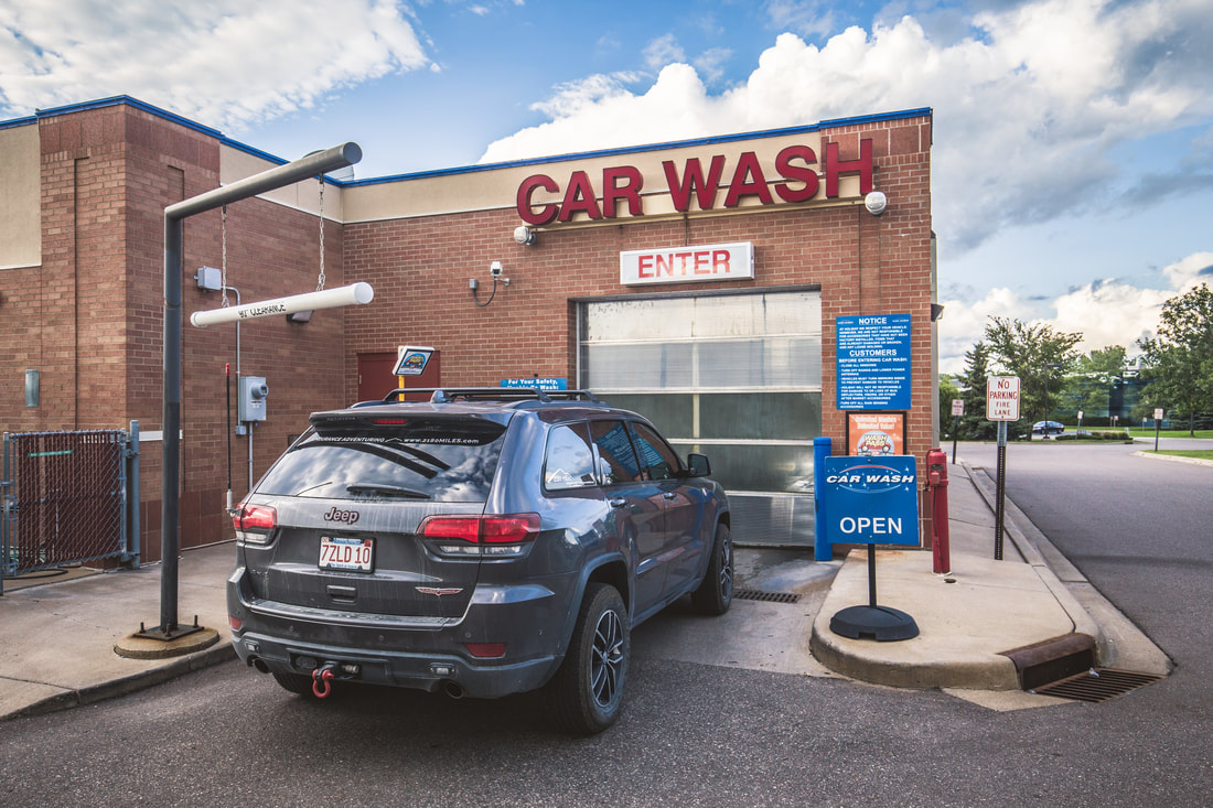
Lunch was later in the day, set up on the side of a long dirt road that paralleled miles and miles of sunflower fields. I made up a sandwich with meats and cheese we had left in the Grand Cherokee’s Dometic refrigerator and soaked in the sunshine before moving on, referencing the clock and the iPad’s GPS to see that I was doing well on time and mileage. I refueled again in the mid-afternoon and texted Greg to let him know when I’d be arriving in Minneapolis for dinner. Pulling into the city limits around 18h30, I stared out over a semi-familiar skyline and noticed an incredibly dirty hood in my peripheral vision. As I’m not the kind of traveler who would ever show up to a friends house with a vehicle covered in thousands upon thousands of miles of adventure and road dust, I quickly referenced the iPad and changed my routing to the nearest touch-less wash. After a thorough rinsing I covered the remaining distance to Greg and Carol’s home in Minnetonka, MN. We ate a delicious home cooked meal and stayed up late talking about travel and happenings in all of our lives.
 
Shortly before 23h00 I took a quick shower and climbed into their very comfy guest bed, exhausted after the 650-mile solo journey from a vacant field in Big Sky Country to the metropolitan suburbs of Minneapolis. Mile by mile, hour by hour, this adventure was coming closer to an end.
​
Picture
Picture
Bath Time
Picture
Happy To See Greg
0 Comments

Solo On The Big Sky Backcountry Byway

11/28/2017

0 Comments

 
Our morning started slowly, meandering around the apartment continuing to pack the last of our clean laundry as I continued to make repeated trips to the elevator and down to the basement garage to access the Grand Cherokee. The drive to the airport, located across the city, would take around half an hour. With it technically being an international flight, we left about three hours before her departure to make sure there was enough time for security. Our time in the car was rather quiet as we were each off in our own worlds thinking about the miles and adventures behind us. We had officially traveled over 4,500 miles together since leaving Boston, crossing through five of the ten Canadian provinces, and visiting two of the most incredible national parks imaginable over the last three weeks. Our new REI Quarterdome 2 tent served us well, and the two-person Exped SynMat Duo air mattress was worth every single penny. Cumulatively we’d taken a few thousand photos, and would have these memories to look back on for the rest of our lives. Arriving at Calgary International, we parked the Jeep in the airport’s short-term parking garage and carried her luggage inside, finding the American check-in desk and getting her boarding passes set for her quick layover in Dallas.
 
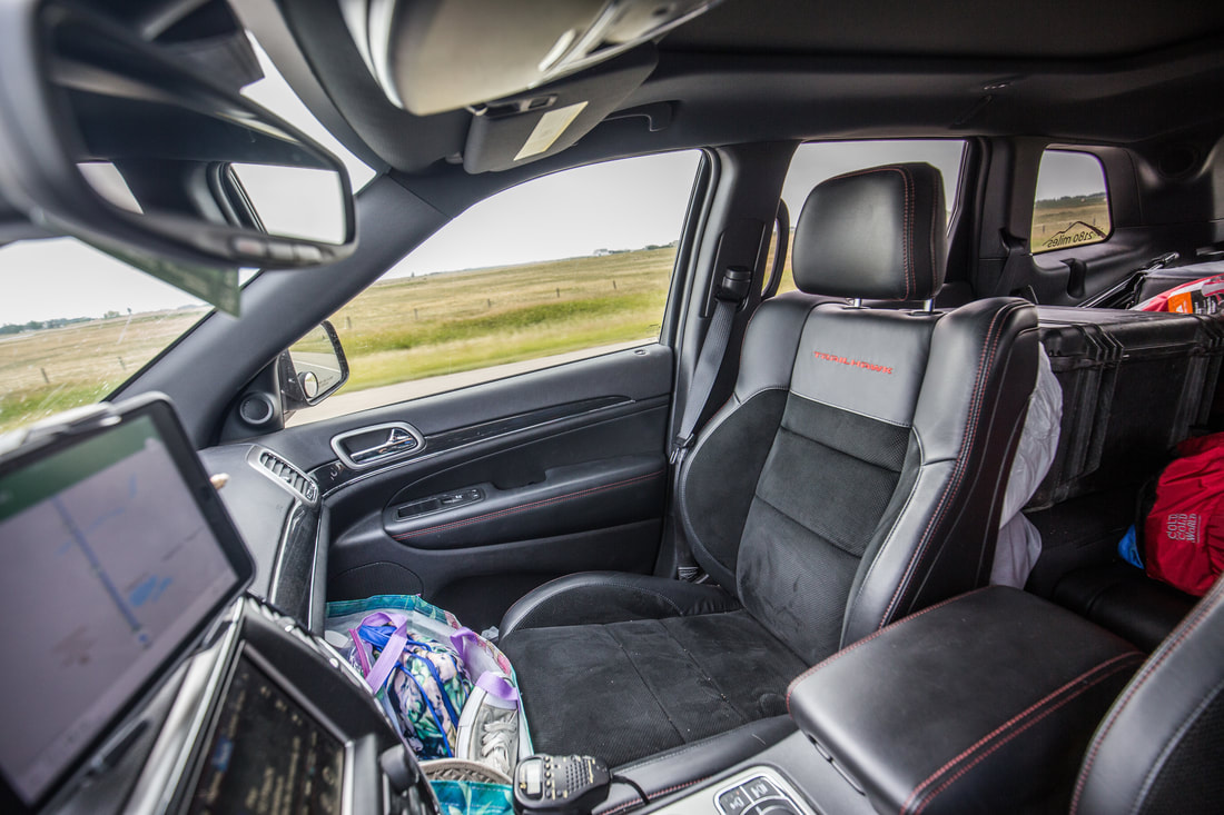
I walked back out to the Jeep and sat in the driver’s seat in relative silence, unsure what to do with the situation. It was incredibly strange to be alone, to look at an empty passenger seat while my peripheral vision simultaneously recognized the missing luggage in the back seat. It took a little while for the realization that I now had nearly 3,000 miles to travel alone before reaching Boston. After a song or two had played on the radio I reached forward and started the engine, realizing that simply sitting there in the airport parking garage wasn’t getting me any closer to home. About a week prior I had begun thinking about my route home, things I’d like to see, and people I’d want to/be able to visit. I sent a few text messages and looked through possible map routes and ultimately decided I’d head back into the United States instead of getting back on the Trans-Canada Highway for days and traipsing back across the same Canadian provinces we had already come across. I’d follow Alberta Hwy 1 (technically the Trans-Canada) 200 miles from Calgary International to just east of Medicine Hat, AB, turning south on Highway 41 towards the Canadian/US border.
​
Picture
Suddenly Empty Navigator Seat
Picture
Highway One

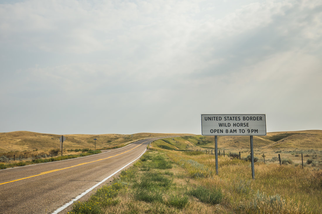
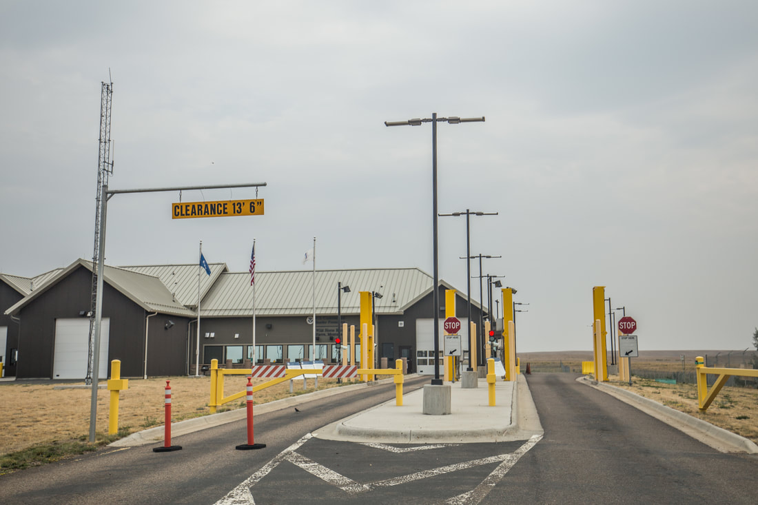
​The road was boring beyond description; it was bland, flat, neutral toned, indescribably monotonous and relatively empty of other vehicles. I stopped for fuel just a few miles before turning south, filling up the Jeep’s 24-gallon tank out of concern for my next time I’d be able to refuel. If the past few hours had been driving through “populated” areas, I was afraid of what the next few hours – and potentially the rest of the night – would bring… better to fill up while the opportunity presented itself. Turning onto 41 showed me exactly what I imagined, a two lane road stretching across vast fields, a wasteland of sorts, for hours on end. I stopped in a tiny town called Elkwater to mail Dani a postcard from the last Canadian town of the trip and buy a bottle of water. From there it was another hour south to Wild Horse, AB, the official site of the U.S. Customs and Border Patrol crossing. When I tell you it was literally the first thing (from the obvious options of a house, car, fence, person, etc.) I had seen since Elkwood, I’m not exaggerating. Two border patrol agents came out to greet me and ask a few questions about my entry point and time in the country. They were surprised to hear I’d been in Canada for almost a month, having crossed the border some 2,700 miles east. I had nothing to declare and they quickly waved me on. A hundred feet and two high security fences later I found myself in Montana, the 41st state in the Union. Just like that and without much ceremony, I was back in America.
 
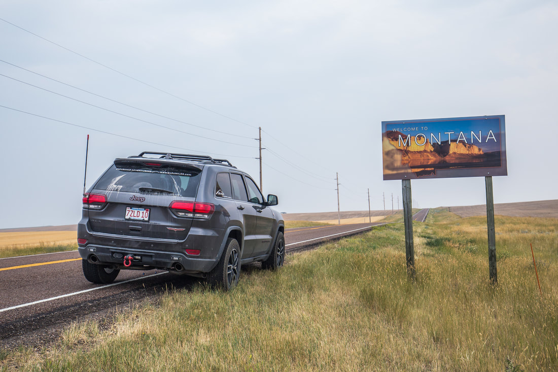
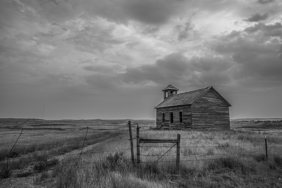
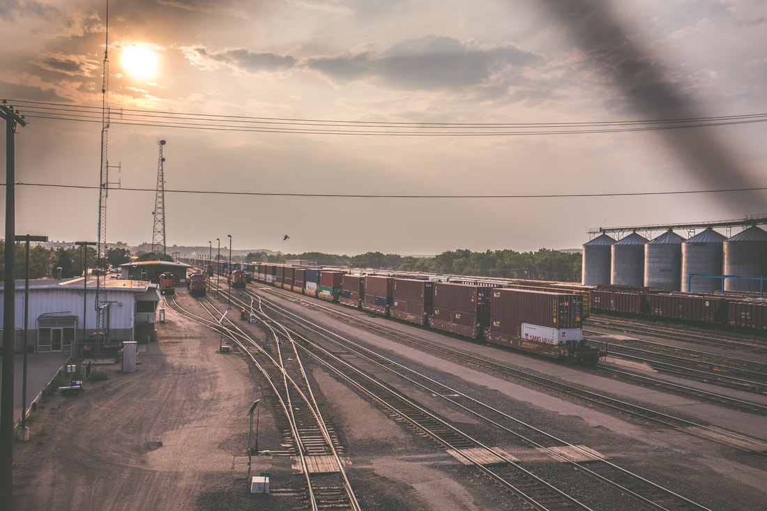
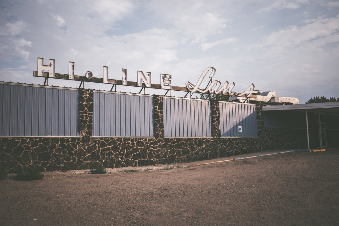
I stopped to take a photo of the state line sign, and spent no more than thirty seconds changing the speedometer of the Jeep’s digital display back to mph from km/h. With the same two lane road and endless prairies on either side of me I continued on for over an hour until I reached the small town of Havre, MT, seeing only two houses and a tiny and long since forgotten church in that time. Turning off of Highway 41 and onto Montana Route 2 I did my best to keep an eye on the road while simultaneously trying to observe the scenery around me. The town was old and rundown, home to a major train yard, the Boxcars Casino, a few miscellaneous bars, and not much else. I turned around at one point immediately after passing Hi-Line Lanes, an abandoned bowling alley, the photographer in me filled with an immense desire to capture the scene. I drove on Route 2 towards Montana’s Big Sky Scenic Byway as the sun began setting behind me, the blue tones of dusk washing over the vast plains. The beams of my headlights and the 30” Black Oak LED bar on the roof shone out brilliantly in front of me and I noticed a mile-long train racing across the valley to the south of me. With music playing loudly and the sun roof open wide to let the fresh air flow through, I did my best to enjoy the solitude that the new chapter of this adventure presented me with.
Picture
Headed Down 41
Picture
Border Crossing - Wild Horse
Picture
Back On U.S. Soil

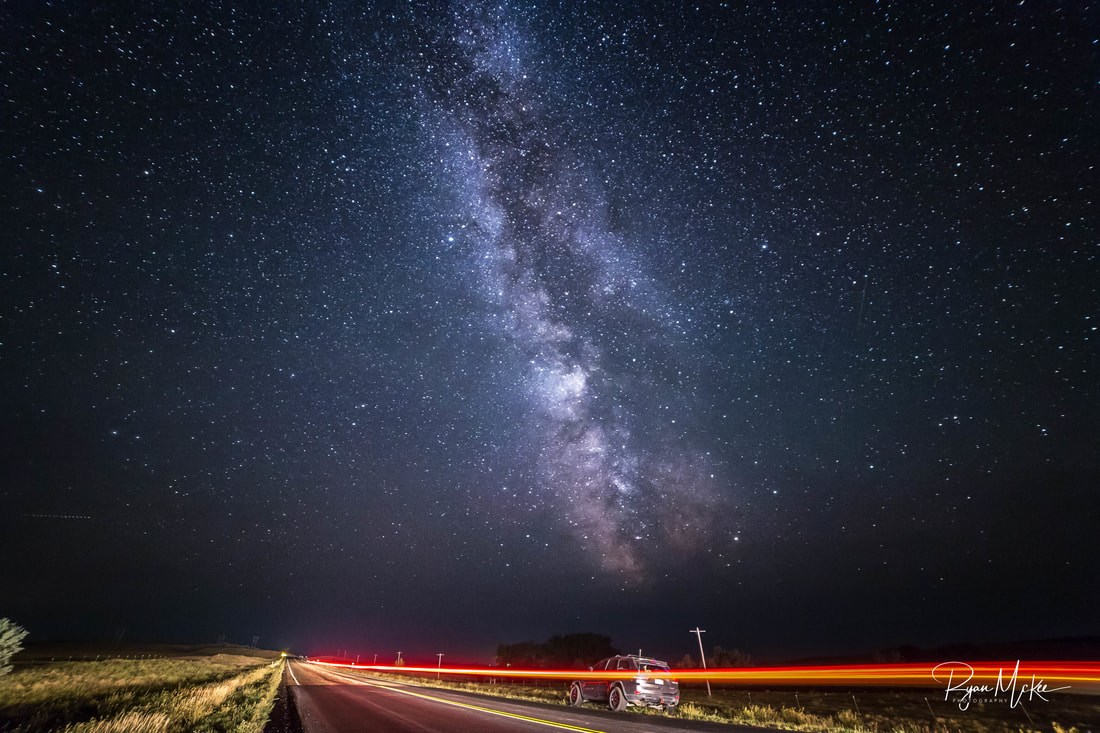
My goal for the day was to cover over half of the distance from Calgary to Minneapolis, an impressive 1,300 mile trek. With the late start to the day, this would require me driving till well after midnight. As the pitch black of night blanketed the sky and earth I began seeing the most brilliant stars shining back at me from the heavens above. Quickly researching the moon-rise time, I pulled off the road and set up my camera and tripod to capture one of the most incredibly vibrant Milky Way displays I’ve ever seen. It was quite eerie to be standing in a field an hour from the nearest established town and be staring up at the sprawling galaxy and constellations above. My fish-eye wide-angle lens allowed for some great images, one of which I’ll share below. With miles to go, I packed up my gear after twenty or so minutes and carried on to the east. Some time after midnight Dani called to let me know she had made it home safely, eager to know where I was in the world.
 
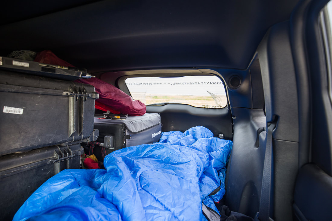
At 02h00 I pulled the Jeep off the road, crossing a small ditch and coming to a stop on the edge of a wide open field. Without a single structure in sight I deemed it a safe place to spend the night and began rearranging the gear inside the Jeep. Moving one of our Pelican cases to the ground outside, I inflated my single person Therm-a-Rest sleeping pad. I had traveled just under 700 miles since leaving Calgary, and fell fast asleep stretched out across the back of the Grand Cherokee, knowing all too well just how quickly the sun would rise again.

Images From Big Sky Country

Picture
Picture
Picture
Picture
0 Comments
<<Previous

    SUBSCRIBE

    Join Over 2,000 Readers On The Search For Adventure!

    Delivered by FeedBurner


    Author

    Hey there! I'm Ryan McKee, a free spirited adventurer, photographer, and digital media creator who calls North Carolina home. I travel incessantly, carry a camera with me everywhere, and am always dreaming of my next big trip.

    Picture

    SOCIAL MEDIA

    Picture
    Picture

    SPECIAL THANKS To

    Picture
    Picture
    Picture
    Picture
    Picture
    Picture
    Picture

    Archives

    October 2019
    September 2019
    August 2019
    August 2018
    July 2018
    June 2018
    February 2018
    December 2017
    November 2017
    October 2017
    September 2017
    August 2017
    July 2017
    June 2017
    May 2017
    March 2017
    February 2017
    January 2017
    December 2016
    November 2016
    October 2016
    August 2016
    July 2016
    April 2015
    September 2014
    August 2014
    July 2014
    June 2014
    May 2014
    April 2014
    March 2014
    February 2014
    January 2013


      Quick Survey

    Submit

    Categories

    All
    Allagash Wilderness
    Appalachian Trail
    Banff National Park
    Bears
    Canada
    Caribbean
    Connecticut
    Georgia
    Greece
    Hiking
    Italy
    Jasper National Park
    Jeeps
    Katahdin
    Long Trail
    Maine
    Maryland
    Massachusetts
    New Hampshire
    New Jersey
    New York
    North Carolina
    Overland
    Pennsylvania
    Photography
    Sailing
    Tennessee
    Travel
    Vermont
    Virginia
    West Virginia

    RSS Feed

ADVENTURES

Trans-Canada Overland Expedition
The Long Trail
Appalachian Trail
Bicycling Across America

Overland Build

Meet The Jeep
Backcountry Gear
​Modifications & Installations

Everything Else

Read The Blog
Photography
Guest Book
Contact

Picture
© COPYRIGHT 2019
​All Rights Reserved