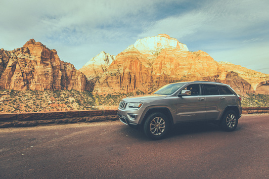
I woke up Saturday morning at the MGM on The Strip and began a three hour drive to Kanarraville, Utah. With 75 and 80 mile-per-hour speed limits my rental Jeep and I made our way through Nevada, into Arizona for a while, then into our destination state of Utah. It's been years since I finished the cross-country drive with a few Appalachian Trail hiker friends, but seeing signs for Salt Lake City brought back memories of our journeys and adventures. As the dusty and pale deserts of Arizona gave way to more green landscapes in Utah, I got off of Interstate 15 (which runs from the San Diego area up through Vegas, Salt Lake City, and Montana before ending at the Canadian border) and began a slower paced traverse through a local road in the small town of Kanarraville. One of my favorite parts of traveling the country is the constant exposure to different people and townships, and this was no different. Small houses were packed tightly together with American made pick-up trucks in every driveway. I followed my GPS and local signs to a small parking lot where the trail to Kanarraville Falls began. A large signboard warned of the duration of the hike, certainty of hiking through water, and potential for flash flooding in the canyon during rainstorms. I filled my Nalgene water bottle, checked my watch and hiked on, almost immediately regretting my decision to wear jeans despite not having another option in my suitcase wardrobe.
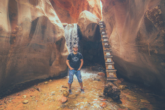
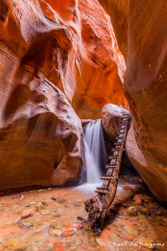
The hike itself to the Falls was only about 2 miles, throughout which I happily maintained my typical 3 mph pace despite the lack of obvious trail at times. The further in I got, the more the trail began crossing a river, and eventually I surrendered to the water and stopped trying to rock hop across it, instead just stepping straight in and walking on. Eventually I came to a clearing where the trail took a sharp left turn into the canyon. With no hesitation I hiked on, despite the minor fact that the trail turned completely into the river, leaving me to walk in ankle deep water as I made my way upstream. Upon reaching the log ladder that aids hikers with ascending the nearby waterfall, I set up my camera and tripod and began to frame my shot, pausing occasionally to let hikers make their way up the ladder. After 90 minutes or so I had all but lost feeling in my feet which caused me to pack up my tripod and make my way out of the ravine and back out to the dirt portion of the trail.
I shed my shoes and socks quickly upon returning to the Jeep, and utilized the rear heating system to dry out my footwear as I drove the 90+ minutes to Zion National Park completely barefoot. Leaving Kanarraville I watched a few locals ride their horses down the streets while guys around my age drove their girlfriends on the back of their four-wheeler ATVs. A quick drive south on I-15 dropped me 1,000' of elevation before I took the exit towards Zion, paying a $30 fee to enter the Park, despite my short itinerary. The Jeep handled well as I made my way up the park's winding Mount Carmel Highway, stopping in a short line of cars before the entrance to the Mount Carmel tunnel. Originally constructed in 1930, the tunnel is just over a mile long and operates as a one-way tunnel throughout the day, controlled by park rangers on each end. Narrow and extremely dark, they allow only a few cars to pass at each time before reversing the tunnel's direction.
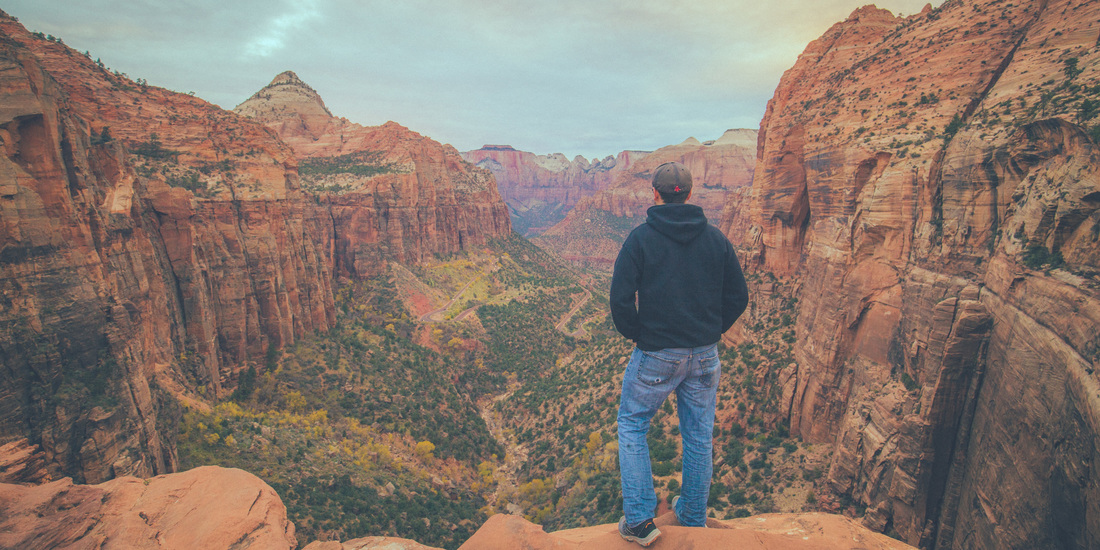
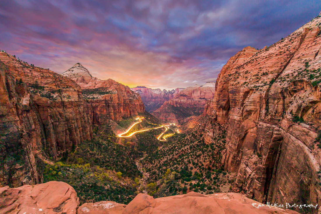
Immediately after exiting the tunnel I turned right into a small parking lot where the Canyon Overlook Trail began. Gathering my backpack, water bottle, and camera gear, I started the mile long hike to the famed park overlook. I passed a dozen other park visitors ascending from the roadway, and very much enjoyed the change of scenery from where I had been just an hour earlier at the Falls. The ground beneath my feet was a smooth red rock, with loose sand of the same color filling in elsewhere. Upon reaching the overlook itself I was quick to get my camera and tripod situated before exploring the area. The gorgeously vast view has probably become one of my new favorite places I've photographed to date.
I hung around for just over two hours photographing the sunset over the canyon. The shot I had in my head was one of the canyon itself, the sunset in the sky, and the headlight streaks of park visitors descending the squiggly Carmel Highway roads below. While the sunset wasn't spectacular in traditional fashion, there were a few brief moments of color in the sky shortly after the actual sunset time. I packed up and hiked out in the dark, the record-sized full moon curtained by thick cloud cover overhead. The 3 hour drive back to Vegas went quickly, and despite being exhausted I stayed up to look through the photos from the day before falling asleep. I'd never been to Zion before, but I can tell you that from the few hours I spent there, I look forward to going back someday soon.
I'll fly back to Boston on Friday night, and will turn my sights towards finalizing my gear situation for my Long Trail hike. It's hard to believe Santa and I begin hiking in just over a month.
Onward & upward!



 RSS Feed
