
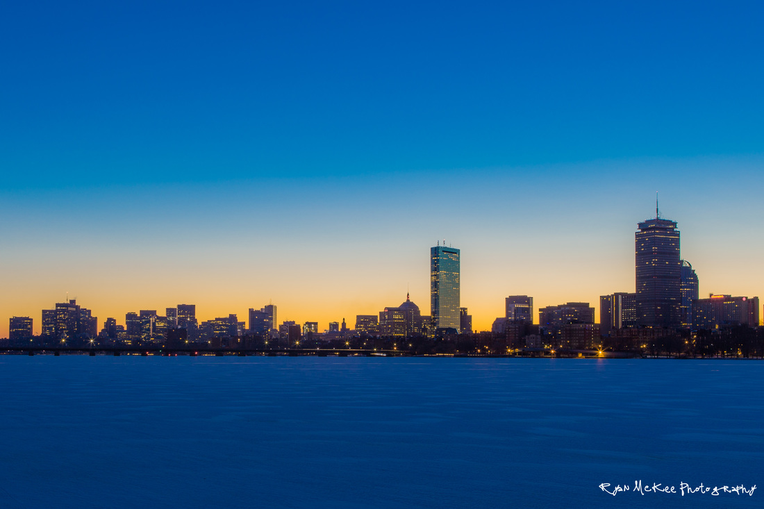
Having packed the last of our gear into the Jeep the night before our departure, we had no reason to rush around the house the morning we left for Maine. With the temperatures climbing into the mid-80s and a good amount of humidity blanketed over Boston, we did a final inventory check and pulled out of the driveway around 09h30. The dash-mounted iPad had GPS coordinates put in for Millinocket, Maine, located some 290 miles north; from there we’d switch over to Gaia, our backcountry navigation app, and make our way off-pavement to our first night’s campsite just south of the North Maine Woods Telos Checkpoint.
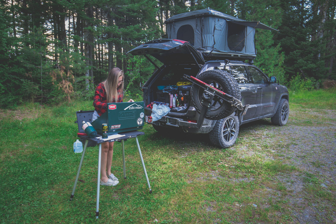
The highway miles were easy, and the Jeep rolled along smoothly. We had just mounted our new Wildpeak AT3W tires a few weeks prior thanks to a partnership with Falken Tire from Rancho Cucamonga, CA, and I was interested to see how our gas mileage would compare to the factory tires. On top of the Jeep was our brand new hard-shell roof top tent - a 10" tall roof mounted shell that expands to almost 40" tall at campsites allowing us to sleep on the top of the Jeep. Our sleeping bag, pillows, and sleeping clothes are stored in it as we travel, and it collapses back down in just a few minutes when we're ready to move on. Also freshly installed on the front end of the Jeep was Chief Products' Lower Front Guard, a skid plate that replaced the plastic bumper from the factory to add protection from rocks and trees as we adventure through the woods. The Grand Cherokee had all three of these products installed in the last month and here we were, headed into the woods, excited to see how they all performed.
The highway miles were easy, and the Jeep rolled along smoothly. We had just mounted our new Wildpeak AT3W tires a few weeks prior thanks to a partnership with Falken Tire from Rancho Cucamonga, CA, and I was interested to see how our gas mileage would compare to the factory tires. On top of the Jeep was our brand new hard-shell roof top tent - a 10" tall roof mounted shell that expands to almost 40" tall at campsites allowing us to sleep on the top of the Jeep. Our sleeping bag, pillows, and sleeping clothes are stored in it as we travel, and it collapses back down in just a few minutes when we're ready to move on. Also freshly installed on the front end of the Jeep was Chief Products' Lower Front Guard, a skid plate that replaced the plastic bumper from the factory to add protection from rocks and trees as we adventure through the woods. The Grand Cherokee had all three of these products installed in the last month and here we were, headed into the woods, excited to see how they all performed.
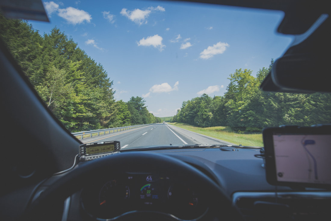
Comfortably Cruising Up I-95
Baxter State Park Road
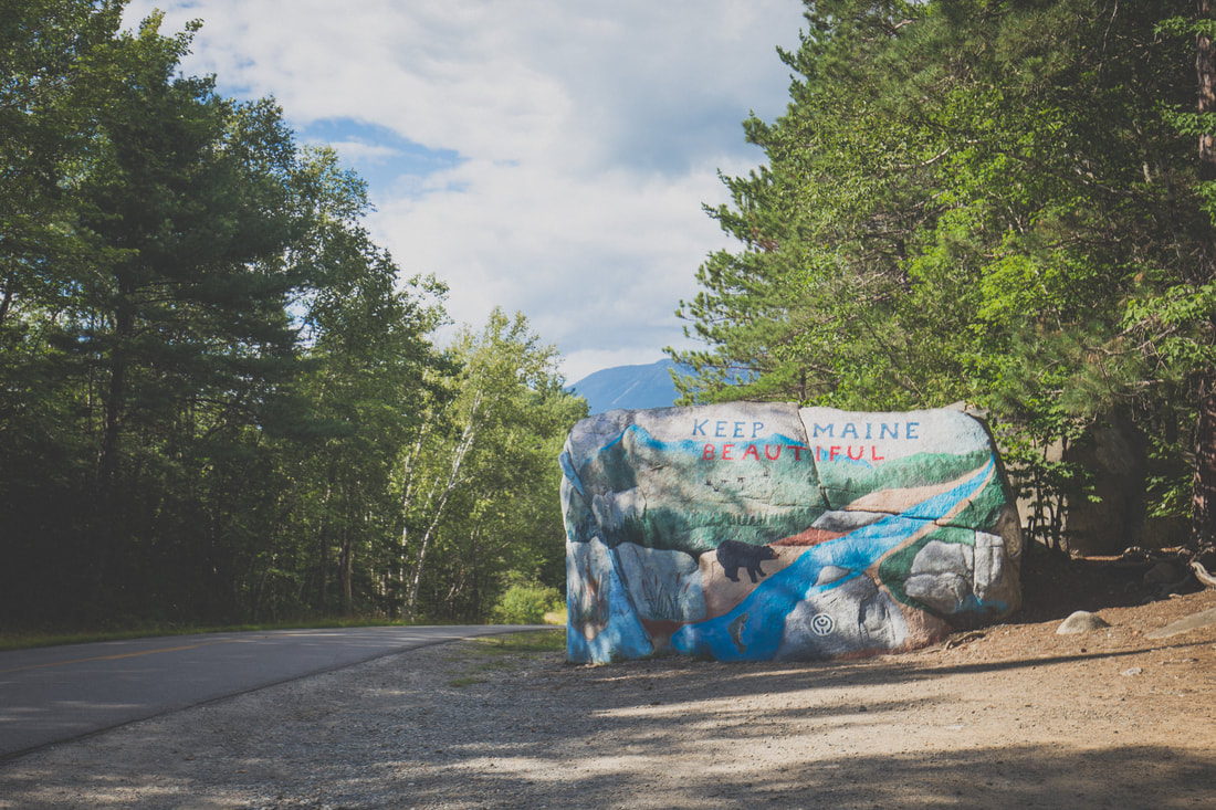
From Boston to Millinoket we averaged 21 miles per gallon, a number I was pleased with given the equipment load we were carrying. The town and roads were very familiar to me and brought a smile to my face and great deal of memories to my mind. As we slowed to the local speed limits I used every opportunity to point out to Dani places I remembered from the last days of my Appalachian Trail adventure four years prior. We drove through the sleepy town in search of a last snack from civilization before continuing down the final maintained road we’d see for days, our sights set way out of town far beyond where the pavement ended.
Our final stop was at an old service station/convenience store a few miles outside of town where a gas pump, antiquated by modern standards, rolled its analog dials counting out gallons of fuel at a glacial pace. Writing down the digits behind the pump’s glass, I carried the information inside and paid the attendant while Dani perused the store. Heading out again we traveled down Baxter State Park Road for another fifteen or so minutes before splitting from the dissipating pavement and breathing a sigh of relief as we rolled onto roads comprised entirely of dirt for the first time in the trip.
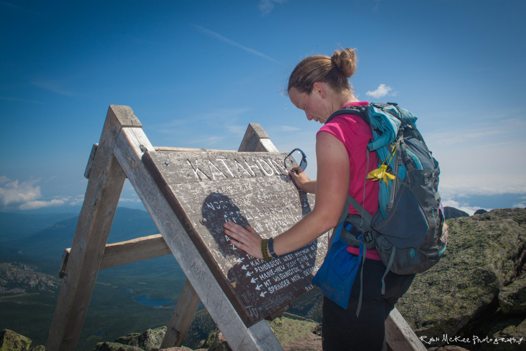
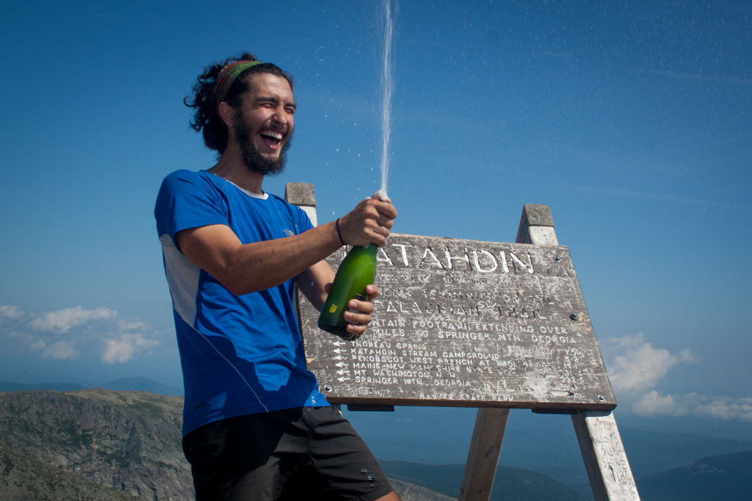
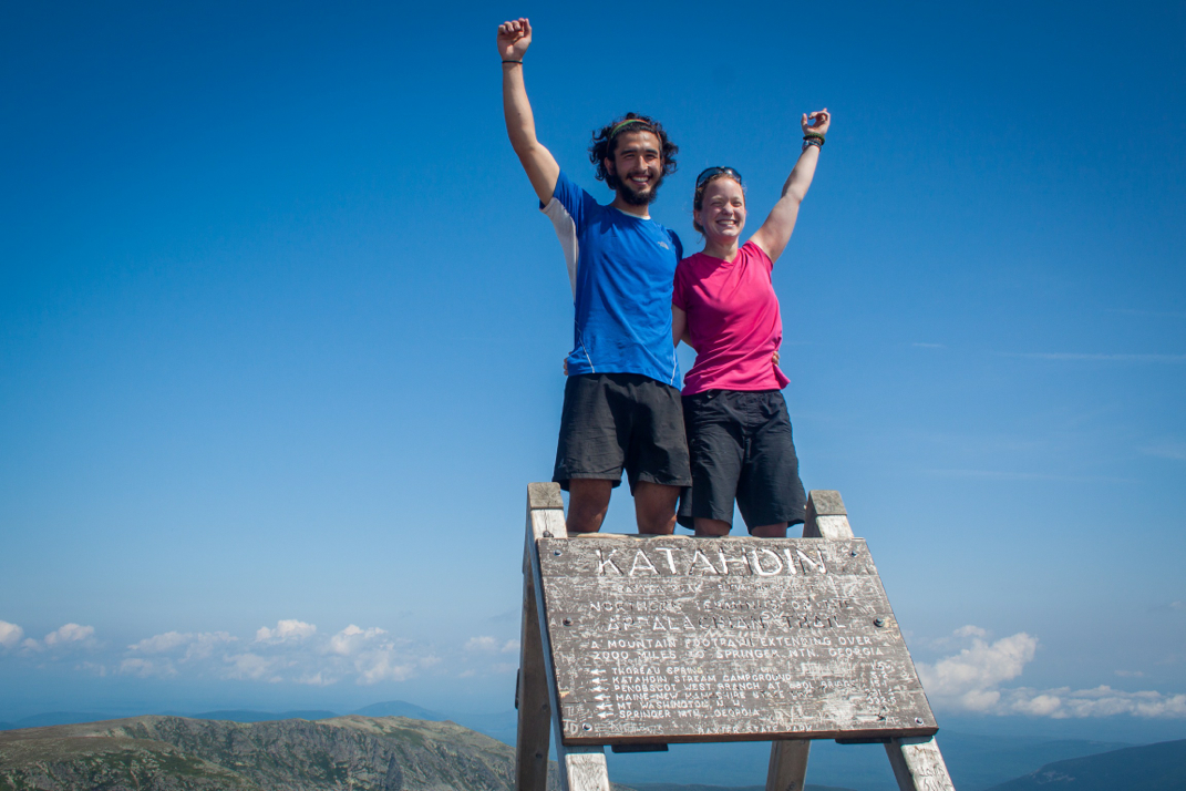
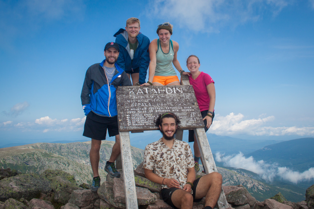
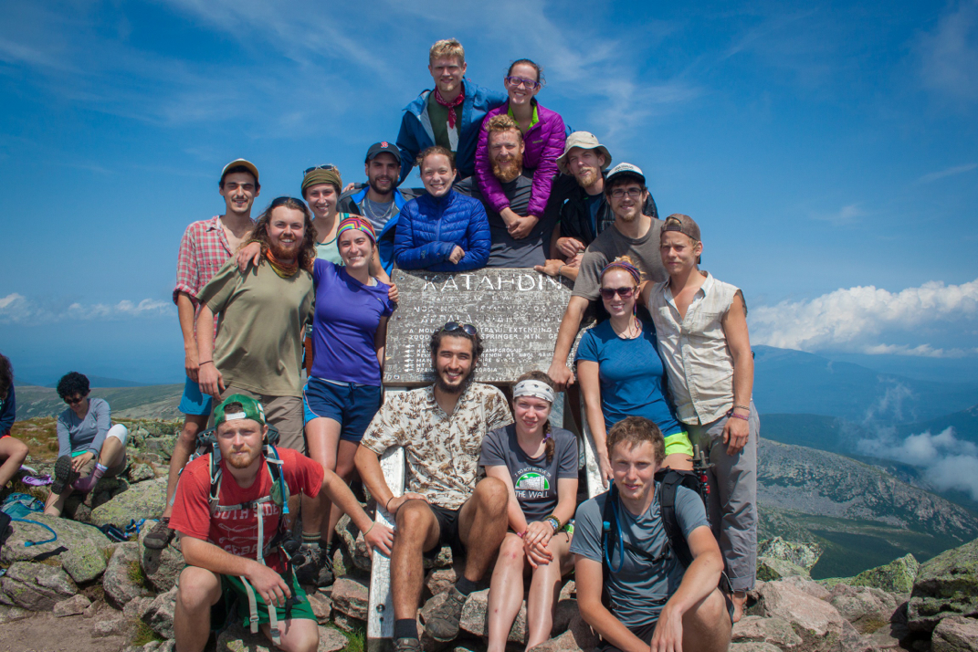
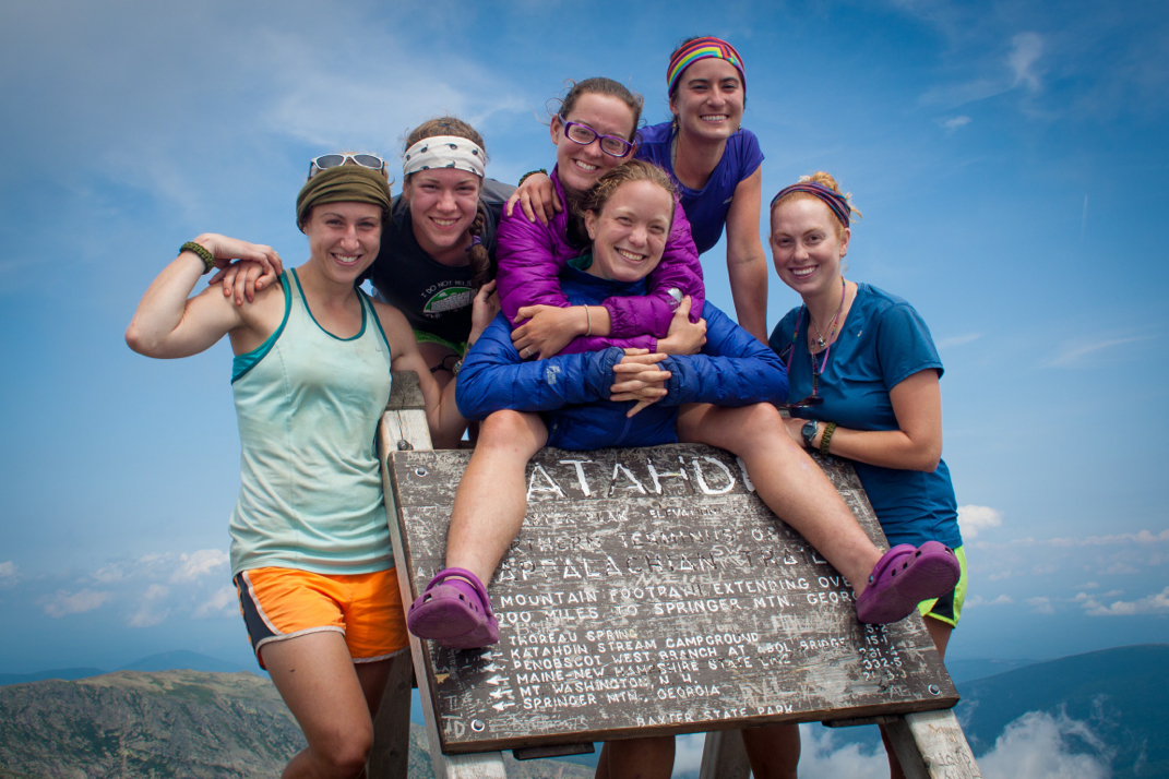
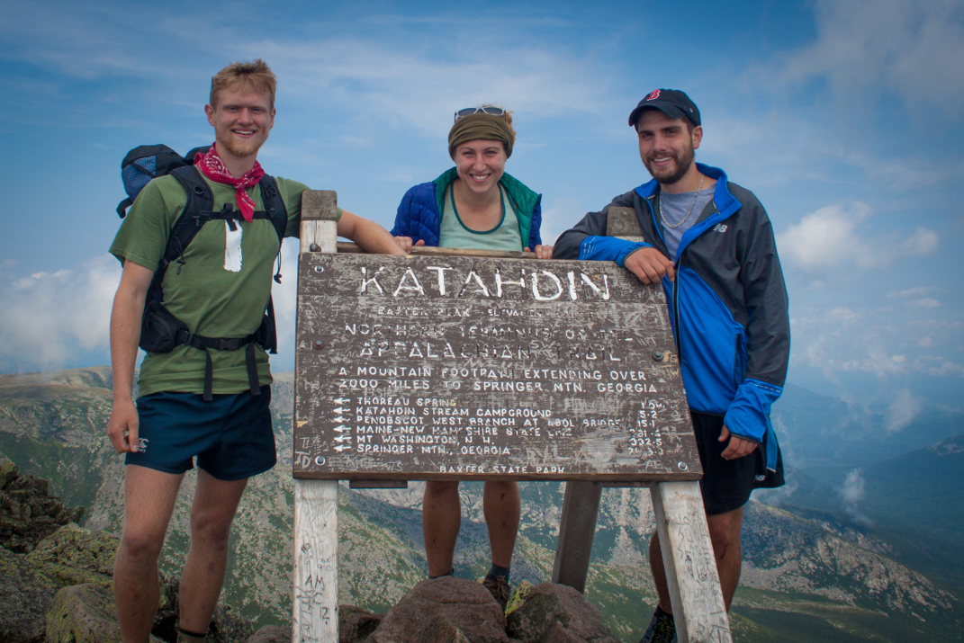
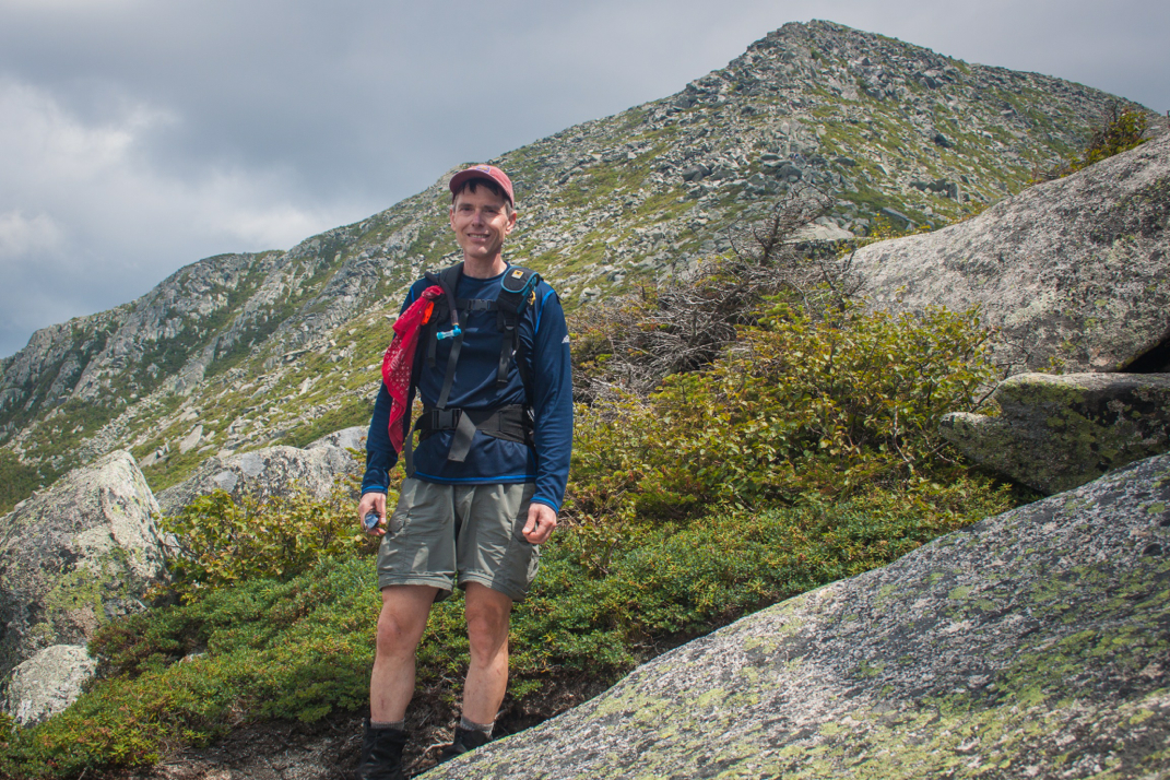
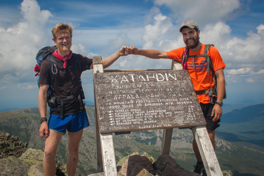
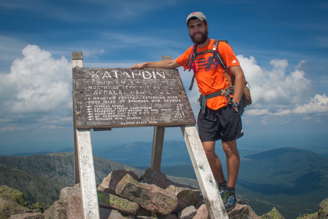
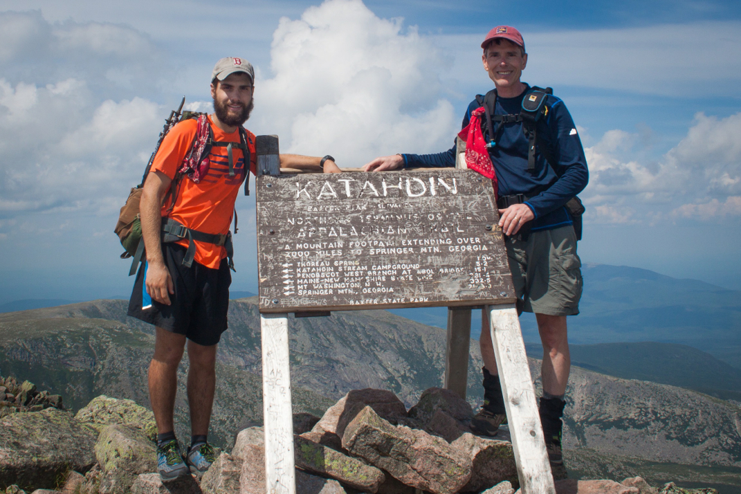
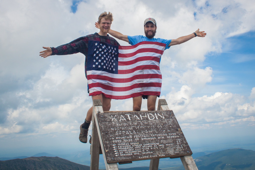
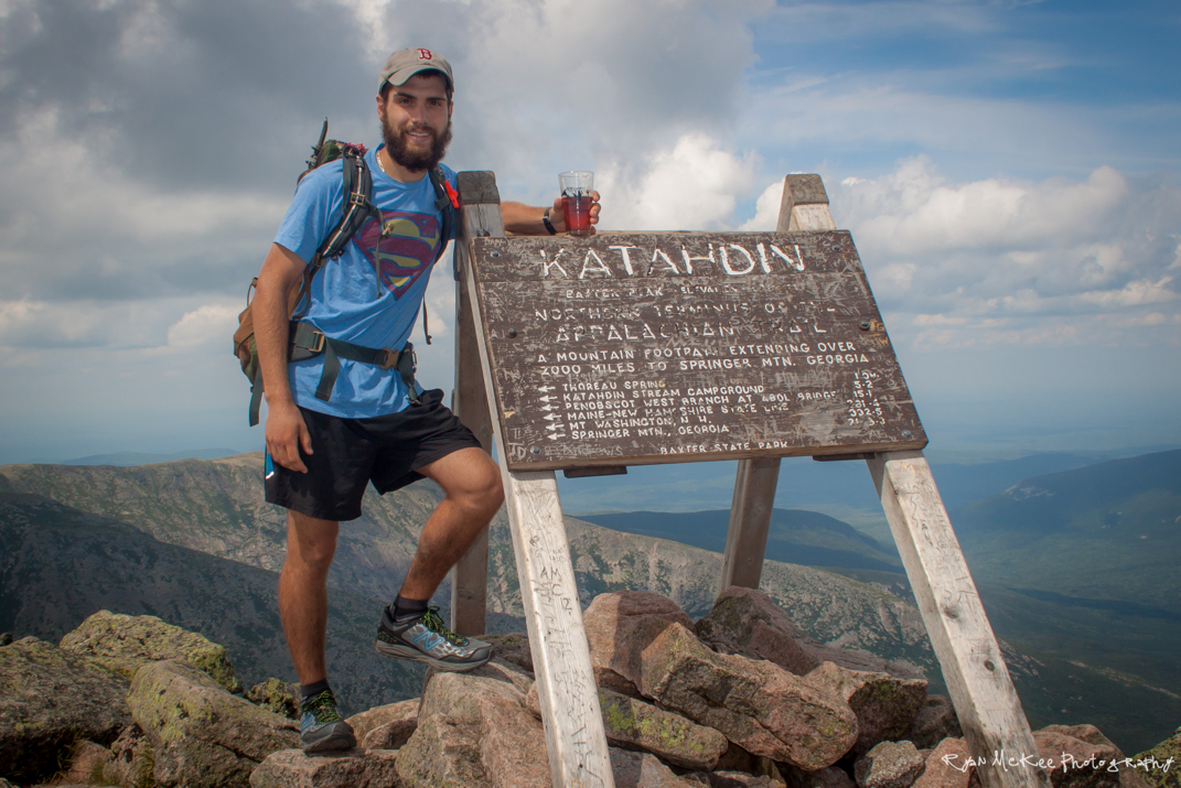
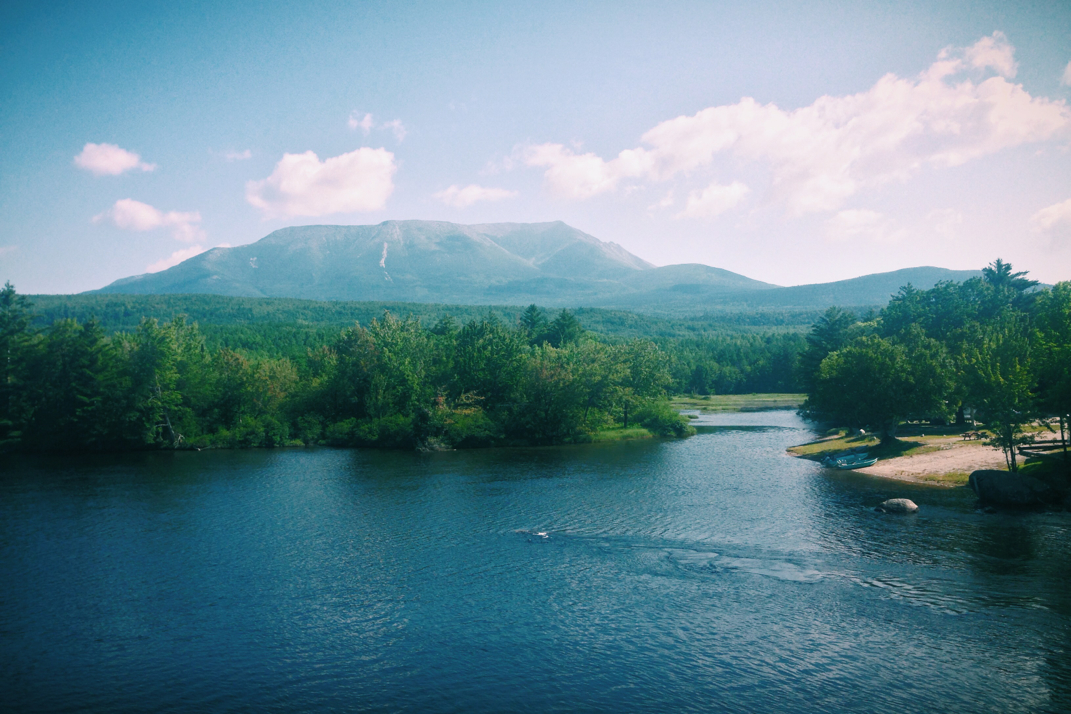
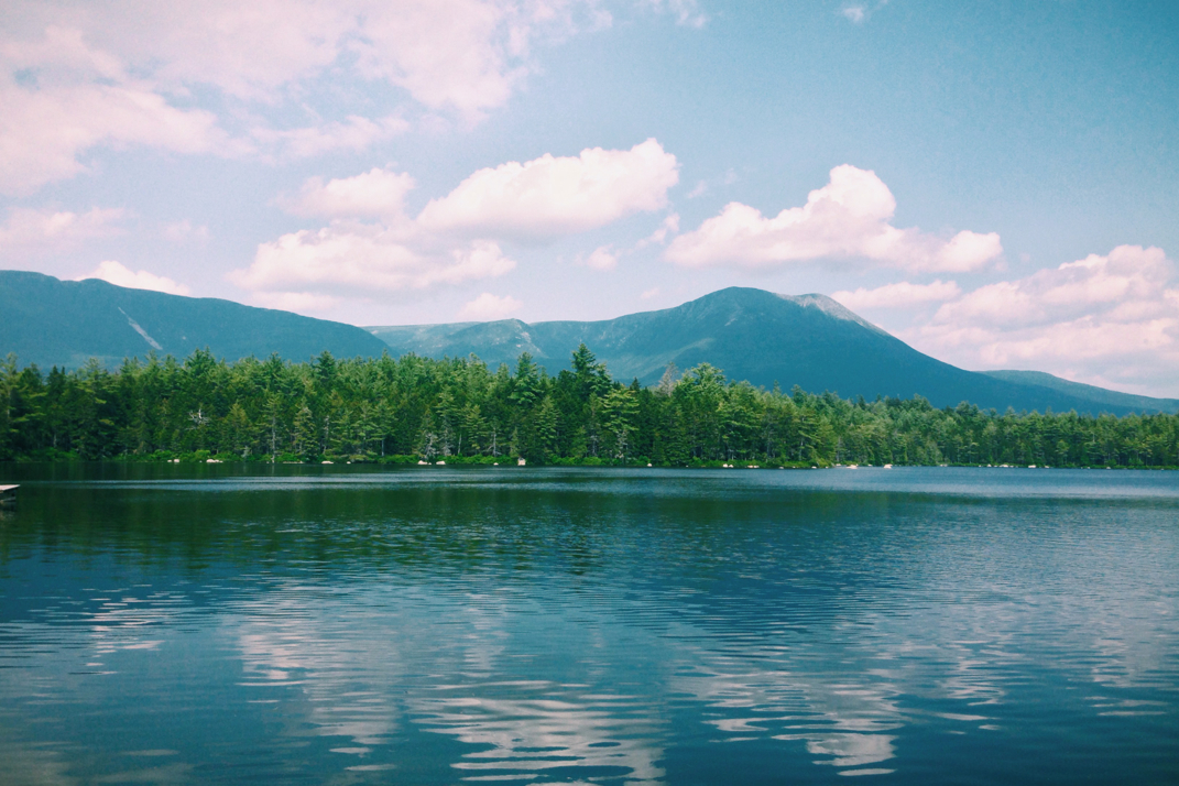
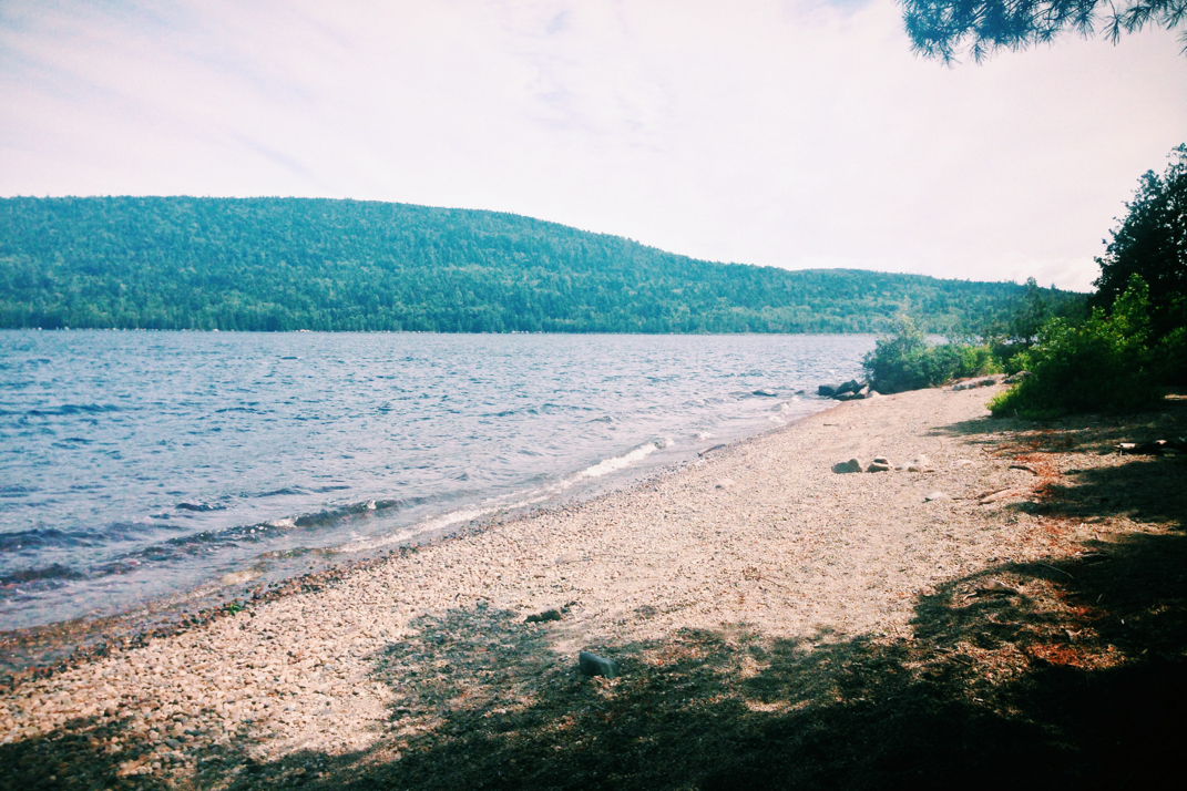
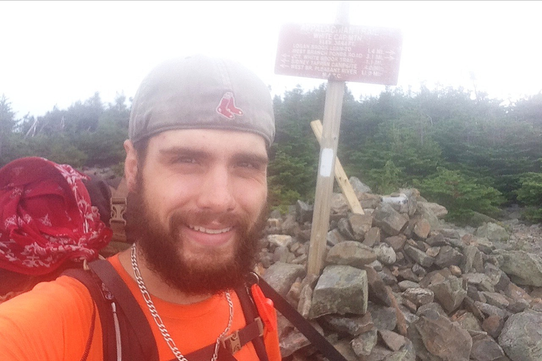
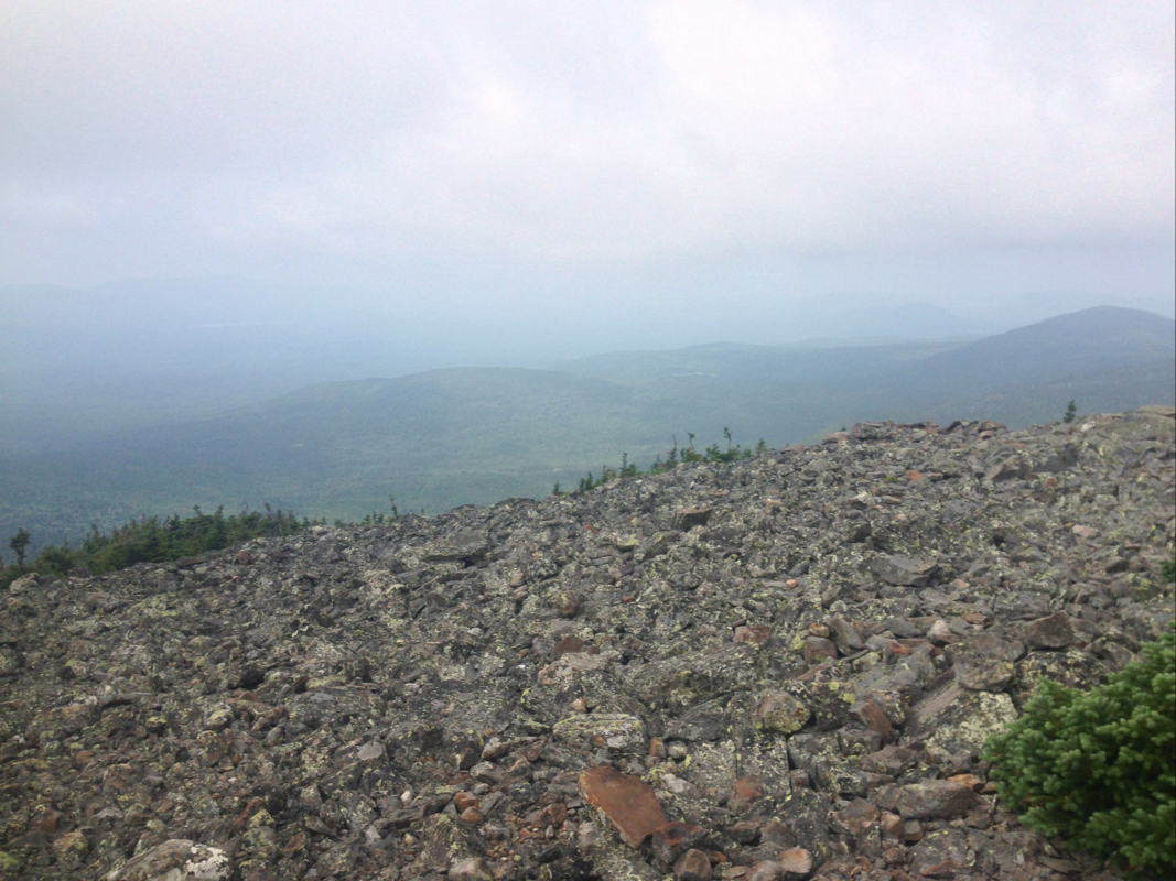
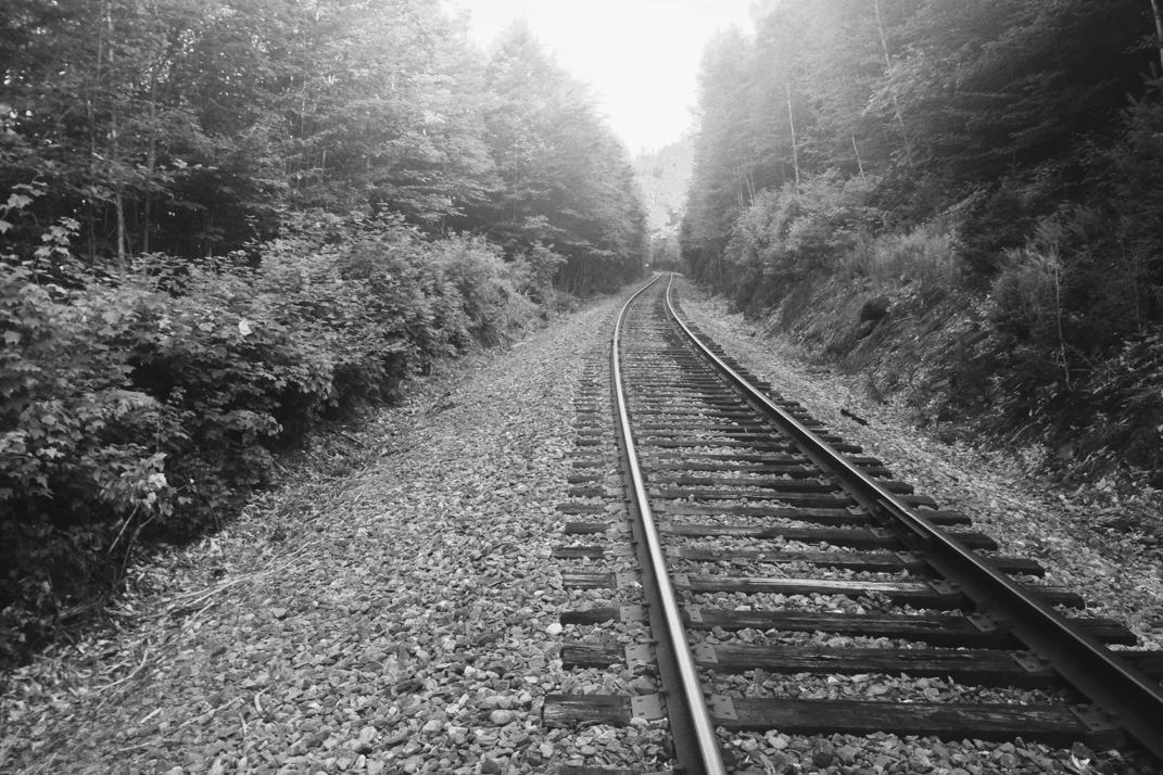
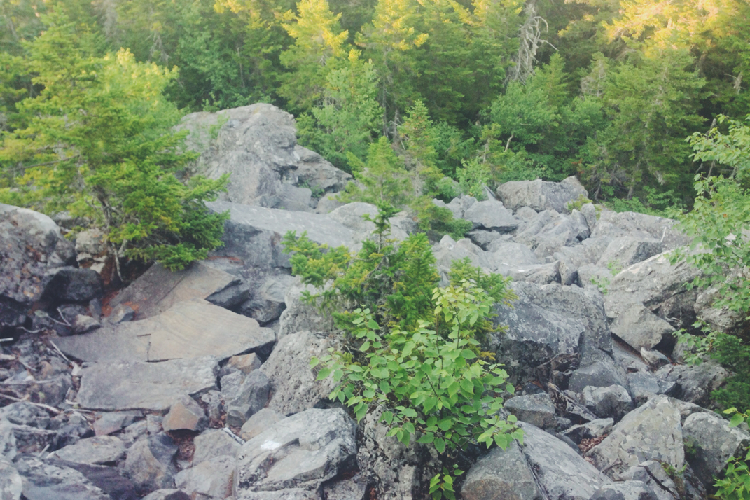
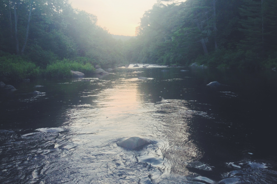
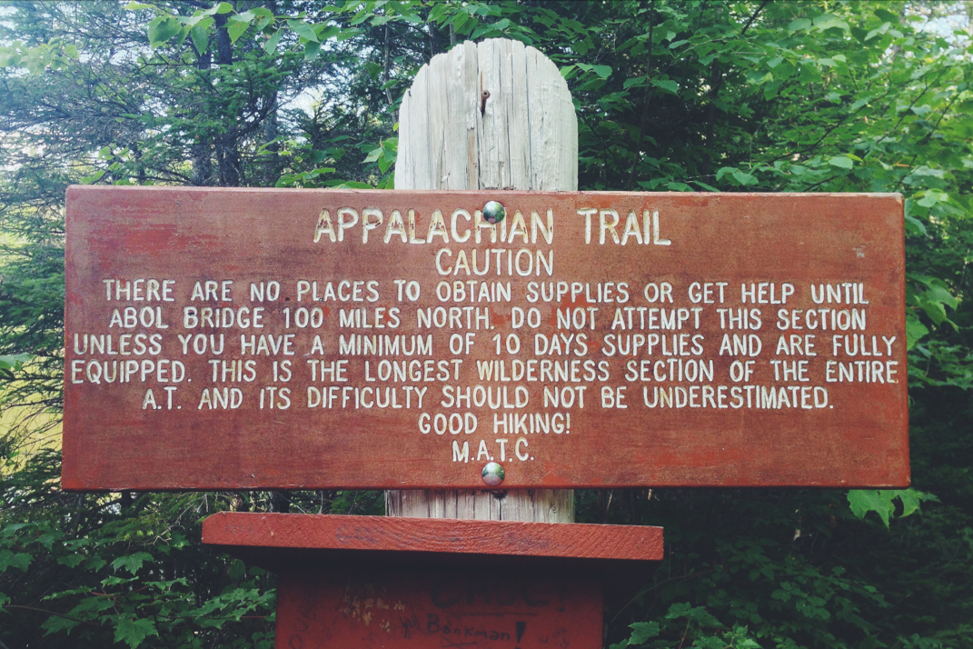
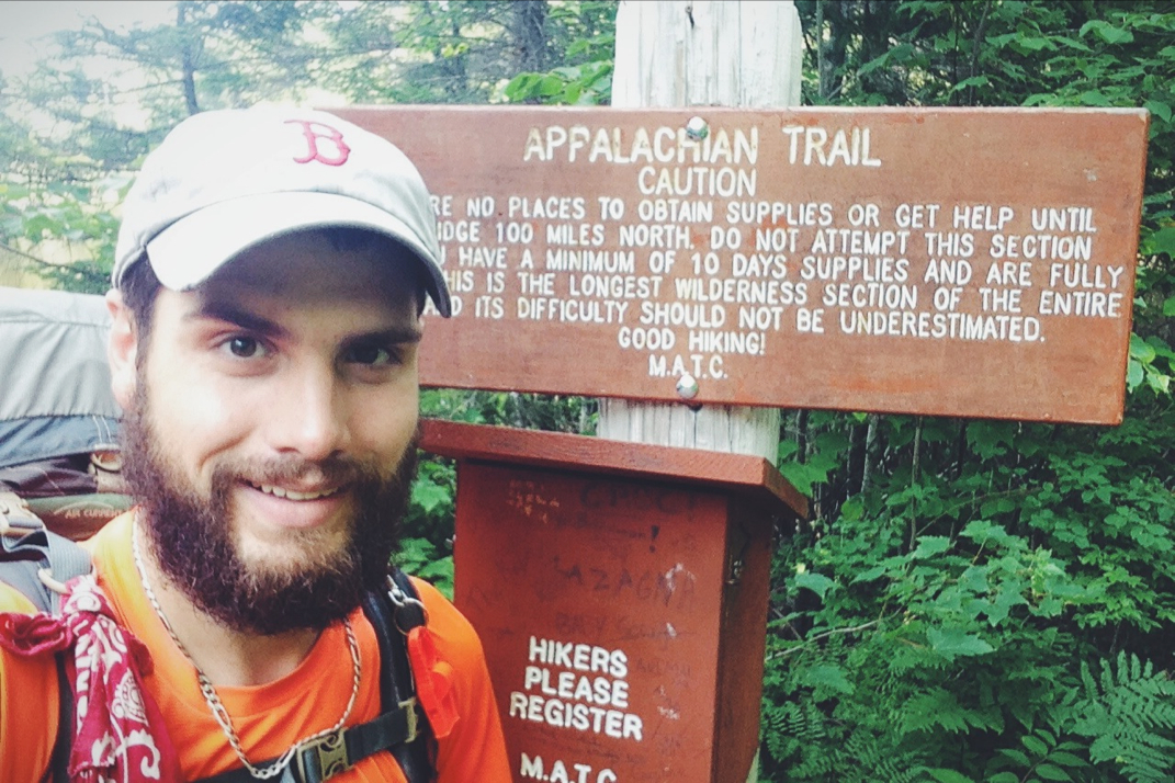
We passed the Abol Bridge Campground & Store, a place where I rested for an hour or two after exiting the Hundred Mile Wilderness during my 2014 Appalachian Trail thru-hike before heading on to Katahdin’s finish line, and continued on Golden Road for a long while. I stopped to fly the drone and capture some footage of Katahdin and the Nesowadnehunk Deadwater, a river flowing out from the Ripogenus Lake just west of where we stood.
From Boston to Millinoket we averaged 21 miles per gallon, a number I was pleased with given the equipment load we were carrying. The town and roads were very familiar to me and brought a smile to my face and great deal of memories to my mind. As we slowed to the local speed limits I used every opportunity to point out to Dani places I remembered from the last days of my Appalachian Trail adventure four years prior. We drove through the sleepy town in search of a last snack from civilization before continuing down the final maintained road we’d see for days, our sights set way out of town far beyond where the pavement ended.
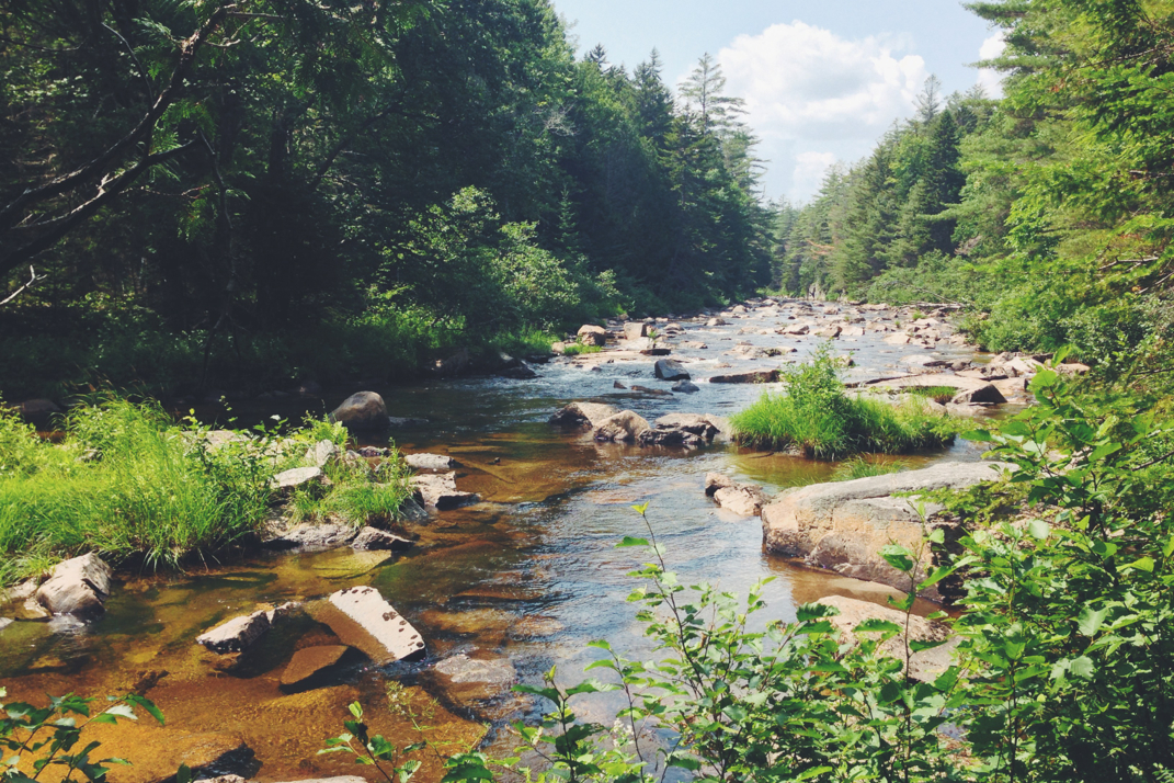
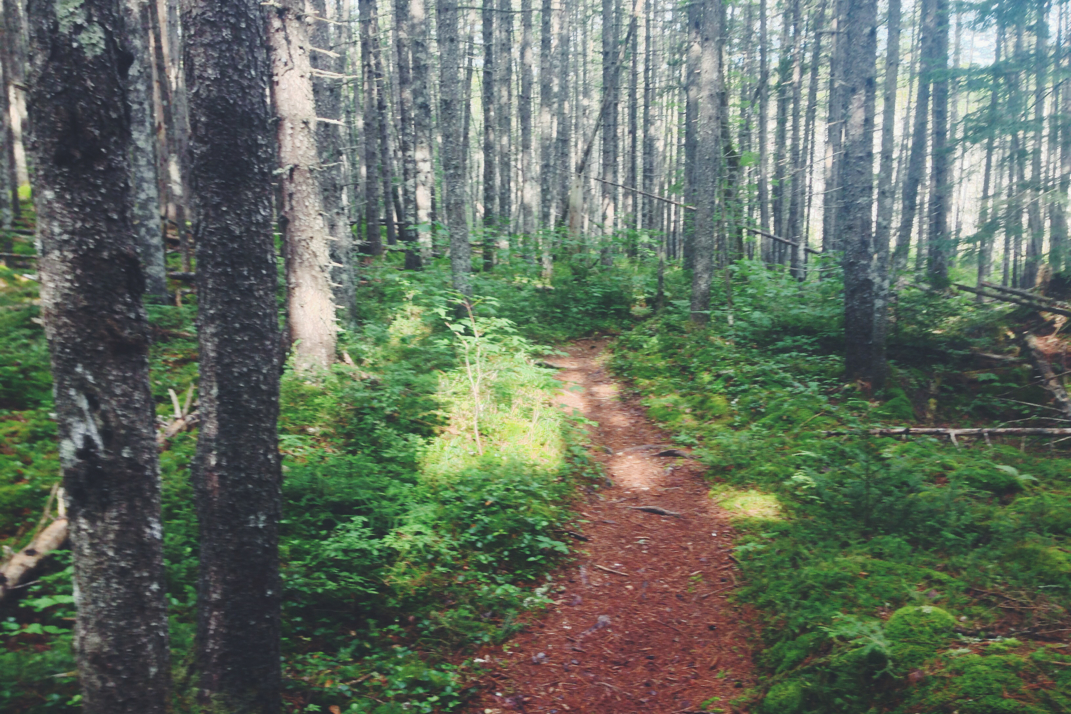
Our final stop was at an old service station/convenience store a few miles outside of town where a gas pump, antiquated by modern standards, rolled its analog dials counting out gallons of fuel at a glacial pace. Writing down the digits behind the pump’s glass, I carried the information inside and paid the attendant while Dani perused the store. Heading out again we traveled down Baxter State Park Road for another fifteen or so minutes before splitting from the dissipating pavement and breathing a sigh of relief as we rolled onto roads comprised entirely of dirt for the first time in the trip.
We passed the Abol Bridge Campground & Store, a place where I rested for an hour or two after exiting the Hundred Mile Wilderness during my 2014 Appalachian Trail thru-hike before heading on to Katahdin’s finish line, and continued on Golden Road for a long while. I stopped to fly the drone and capture some footage of Katahdin and the Nesowadnehunk Deadwater, a river flowing out from the Ripogenus Lake just west of where we stood.
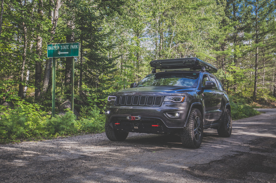
Last of the Pavement
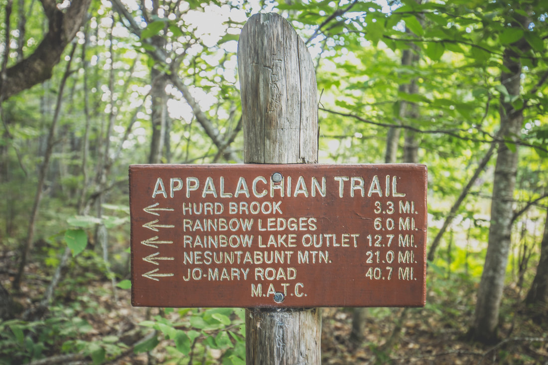
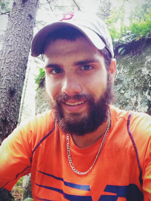
Bringing Back Memories
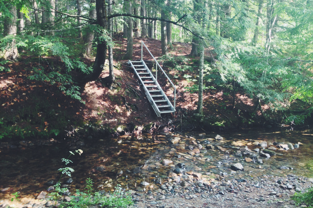
Turning onto Telos Road a few miles from Harrington Pond Camp where we’d spend the night, I was able to reach Bob on his handheld radio. Our 2m Ham radio setup in the Jeep has an incredible range but hearing back from lesser powered handheld units can be a little more difficult in thickly wooded areas. He reported back that the campsite we’d chosen was a perfect spot for the night and directed us to its exact location. An open clearing nestled up along Harrington Pond, the area would easily fit our group’s four vehicles and two trailers once everyone had arrived. Dani and I found a good spot for the WK2 and I got to work setting up the roof top tent while she set up our base camp gear.
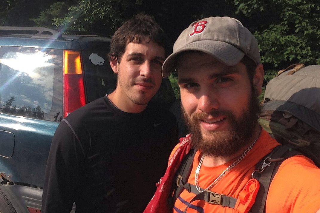
The Sweeneys arrived shortly thereafter, and the group cooked meals while I got some drone footage over the lake as the sun set. We sat around a campfire until 21h00 when Brendan’s voice came through on the radio proclaiming he was just a few minutes away but would need help finding the nearly invisible turnoff from the main route to access the campsite. I met him on Telos Road with my radio and a flashlight and helped him squeeze his Jeep and trailer down the narrow road, the final vehicle and driver to join our North Maine Woods adventure.
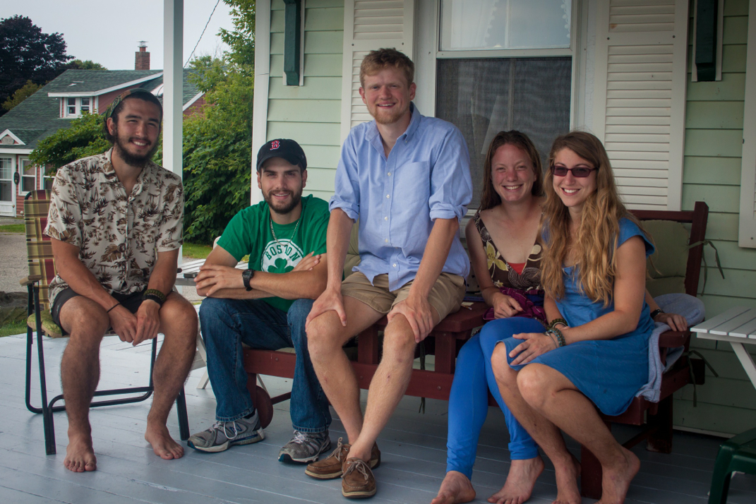
With nine people sitting around a campfire and two dogs playing in the clearing around us, we discussed the days ahead. As the last logs burned down and only the glow of embers (and Bob’s multi-color rope lighting) remained, people retreated to their roof top tents and trailers for the night, excited for the trip that lay ahead of us past the Telos Checkpoint and deep into the North Maine Woods.
Turning onto Telos Road a few miles from Harrington Pond Camp where we’d spend the night, I was able to reach Bob on his handheld radio. Our 2m Ham radio setup in the Jeep has an incredible range but hearing back from lesser powered handheld units can be a little more difficult in thickly wooded areas. He reported back that the campsite we’d chosen was a perfect spot for the night and directed us to its exact location. An open clearing nestled up along Harrington Pond, the area would easily fit our group’s four vehicles and two trailers once everyone had arrived. Dani and I found a good spot for the WK2 and I got to work setting up the roof top tent while she set up our base camp gear.
The Sweeneys arrived shortly thereafter, and the group cooked meals while I got some drone footage over the lake as the sun set. We sat around a campfire until 21h00 when Brendan’s voice came through on the radio proclaiming he was just a few minutes away but would need help finding the nearly invisible turnoff from the main route to access the campsite. I met him on Telos Road with my radio and a flashlight and helped him squeeze his Jeep and trailer down the narrow road, the final vehicle and driver to join our North Maine Woods adventure.
With nine people sitting around a campfire and two dogs playing in the clearing around us, we discussed the days ahead. As the last logs burned down and only the glow of embers (and Bob’s multi-color rope lighting) remained, people retreated to their roof top tents and trailers for the night, excited for the trip that lay ahead of us past the Telos Checkpoint and deep into the North Maine Woods.
Setting Up Camp
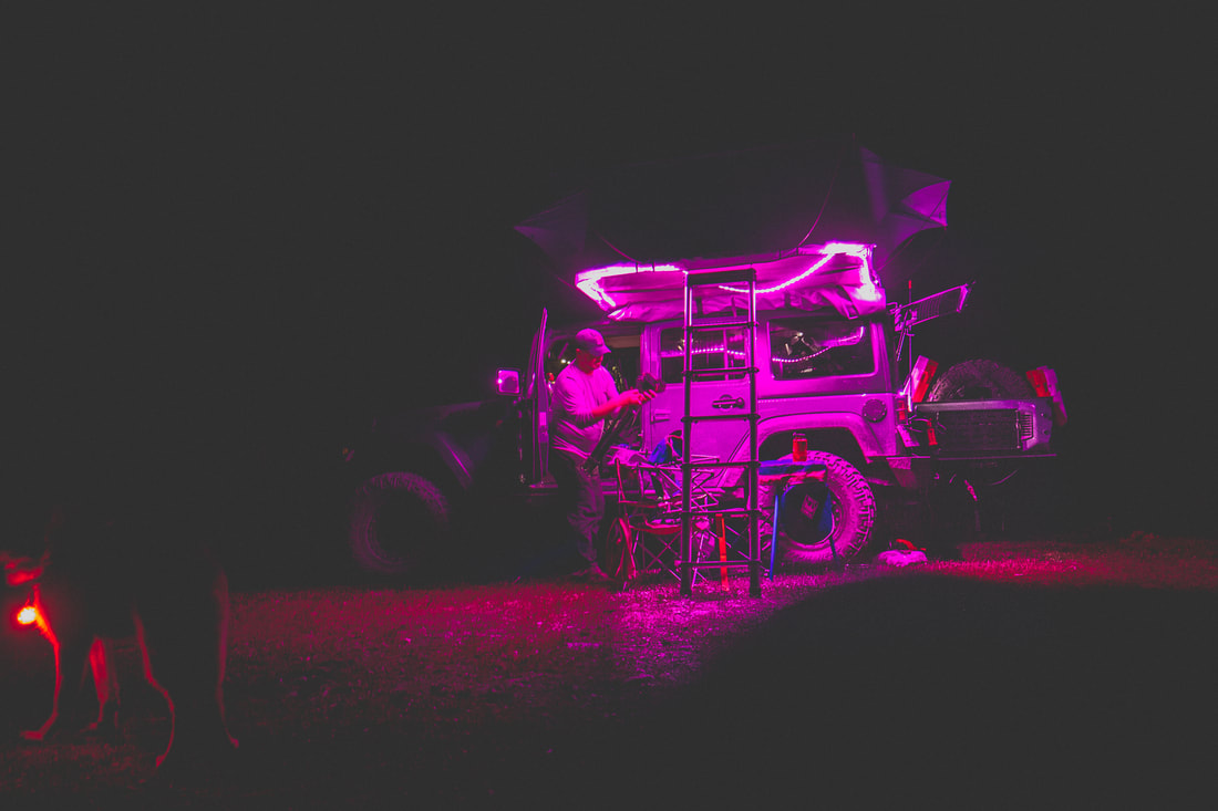
Bob's Roof-Top Tent Lighting


 RSS Feed
