
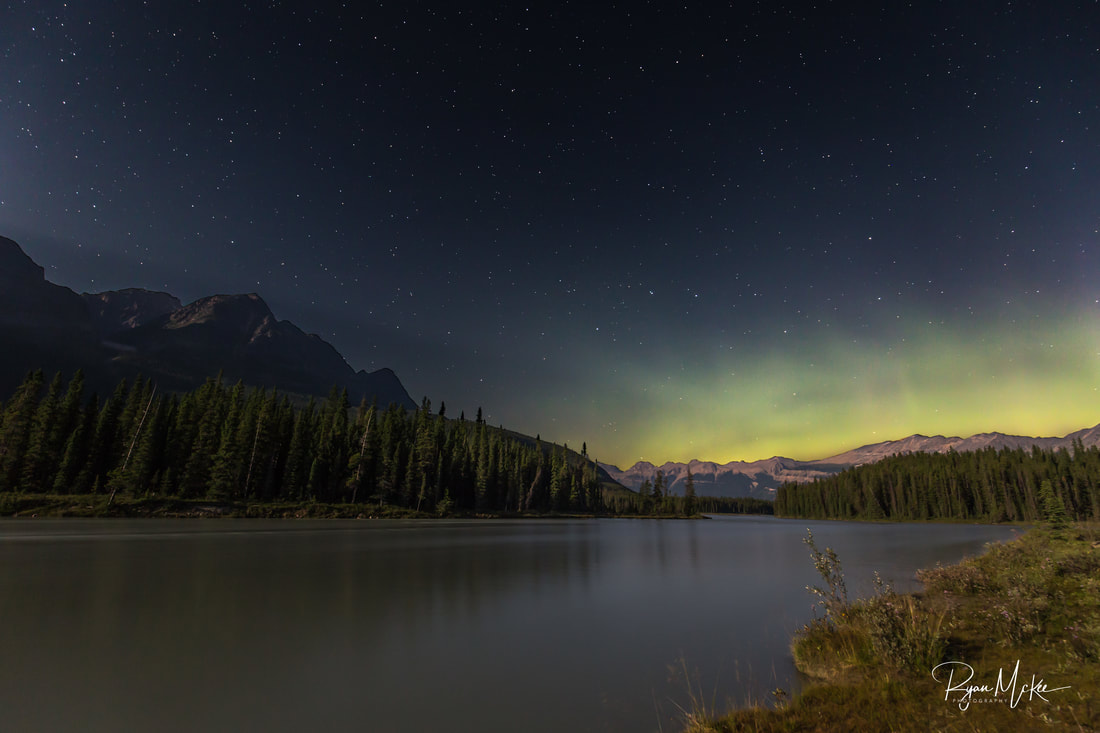
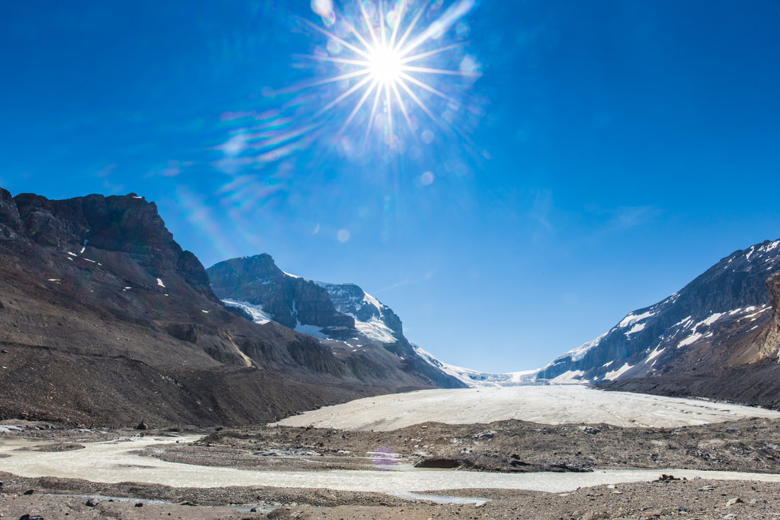
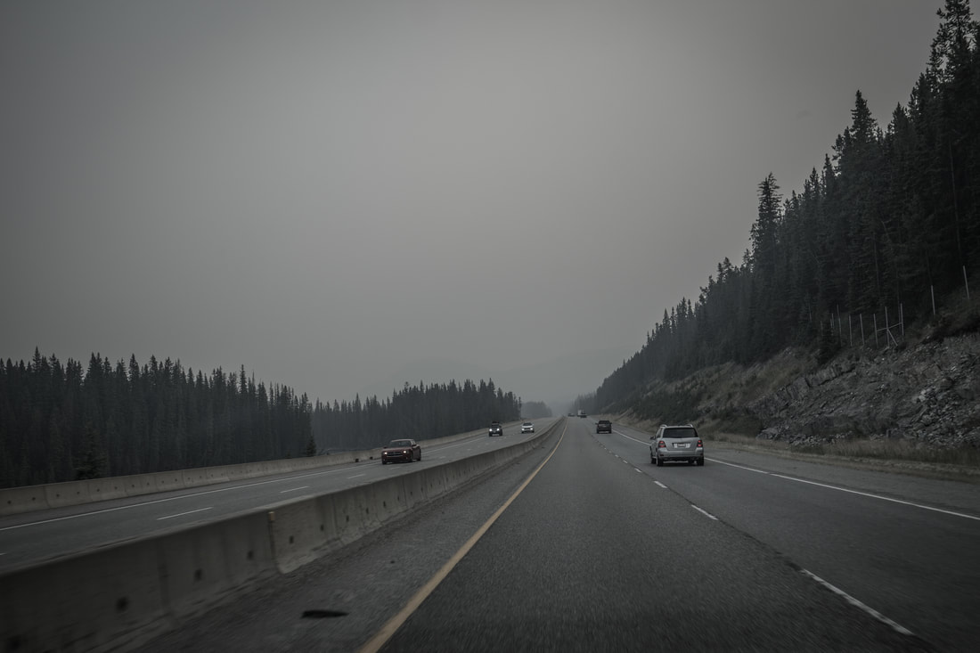
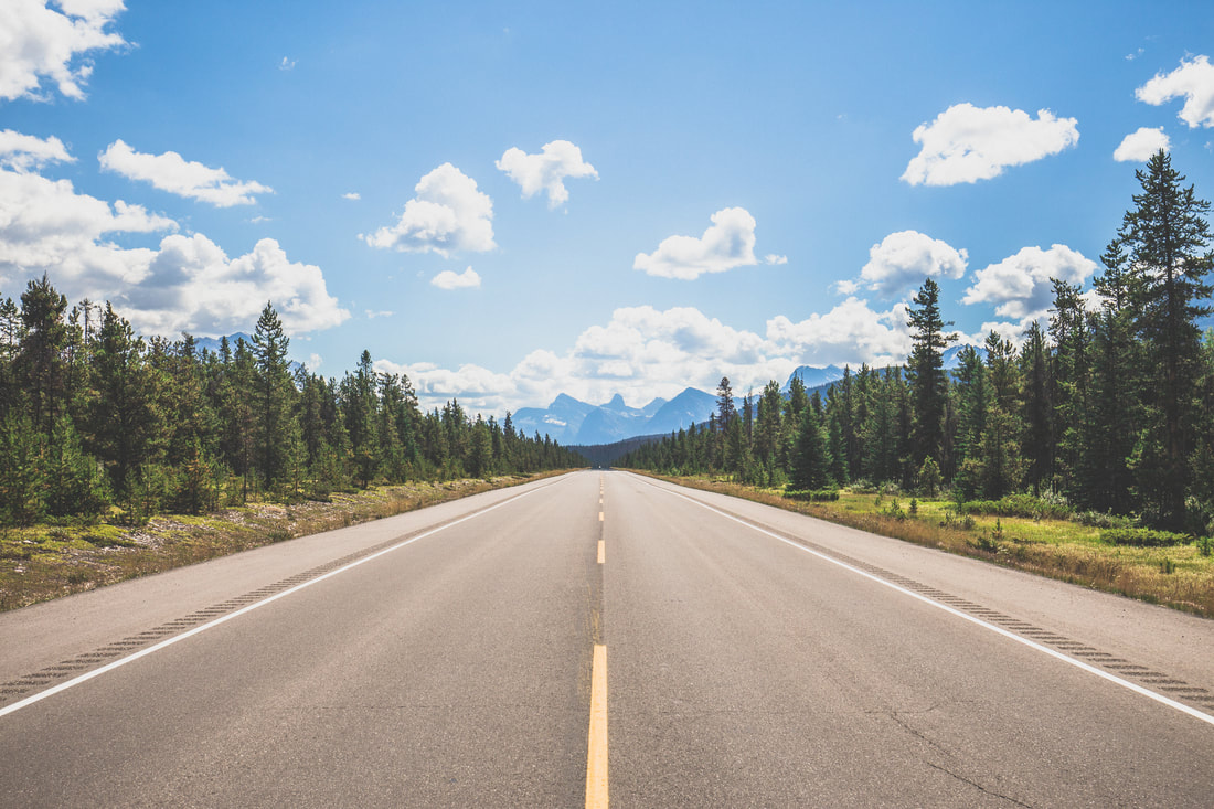
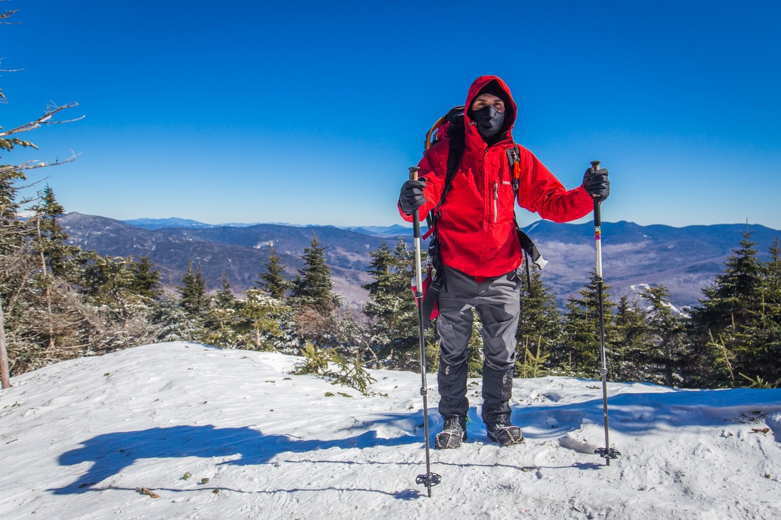
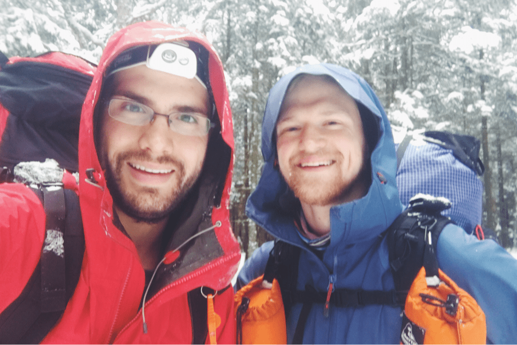
The beauty of the stars glistening in the sky overhead was slightly interrupted throughout the night by trucks passing on the nearby highway. We woke with the sun, the air cooler and more crisp than on other mornings, and I began packing up camp immediately as Dani prepared us a quick breakfast. We had one mission: make it to the Lake Louise parking lot before the masses of other visitors arrived; the focus of our day was entirely on a Pinterest-worthy “Tea Hut Hike”. Due to my incredible campsite finding skills the drive to Louise took no more than five minutes, and we arrived early enough to secure a parking lot just a few cars from the trailhead entrance. We packed my 66L Cold Cold World bag with the appropriate gear we’d need for a day hike, and though the bag itself probably appeared to be overkill to anyone walking by us, it served us well. I included a light windbreaker for myself, my camera bag with a few lenses, an extra liter of water for us to share when our primary ones ran dry, and the usual bag of minor medical supplies and a headlamp just in case. The snowshoe straps on the exterior of the bag worked phenomenally as a place to fasten my aluminum tripod to, and there was plenty of space left in the backpack to fill with Dani’s extra layers as the day got warmer. We made a final restroom stop in the gorgeous Lake Louise Fairmont hotel and made our way to the trailhead alongside the lake’s shore as hundreds of people gathered to take photos of the water as we had a few days prior.
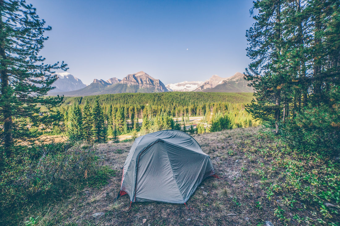
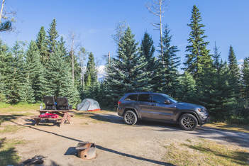
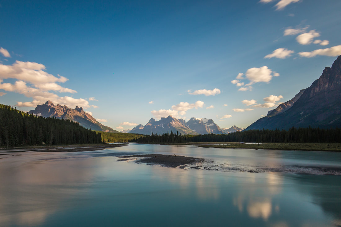
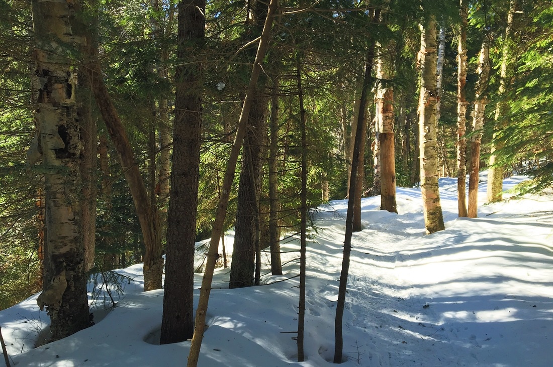
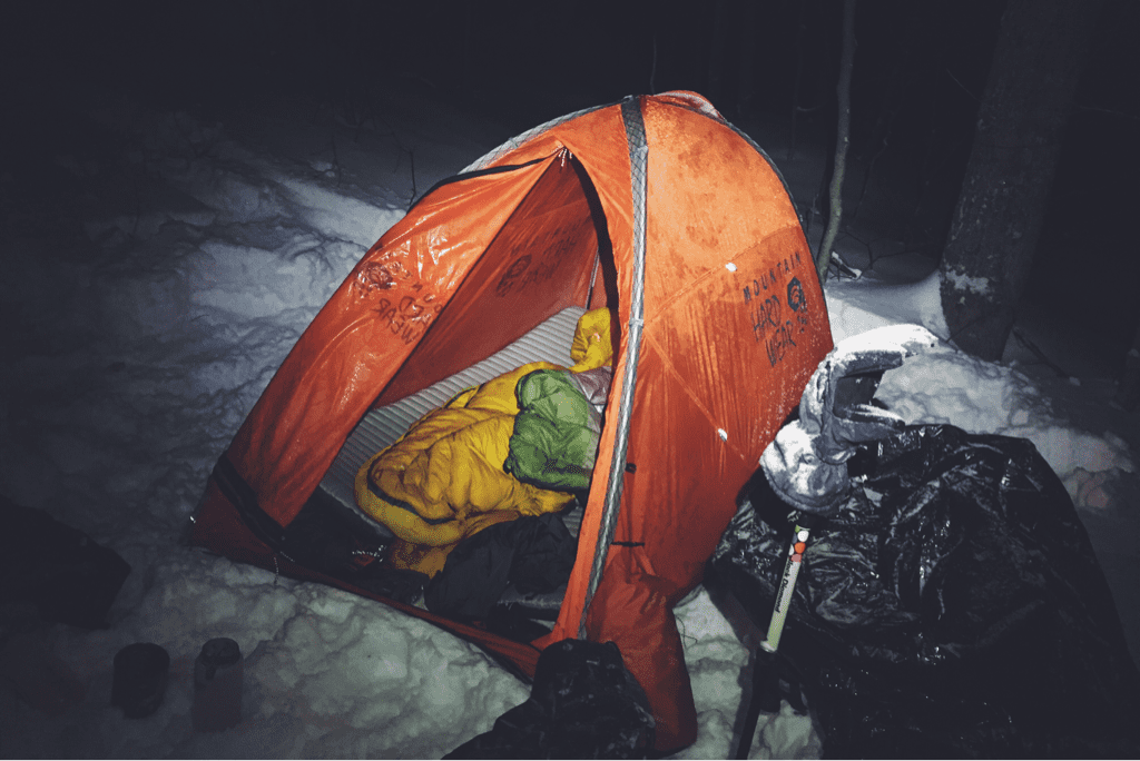
Lake Louise Wild Campsite
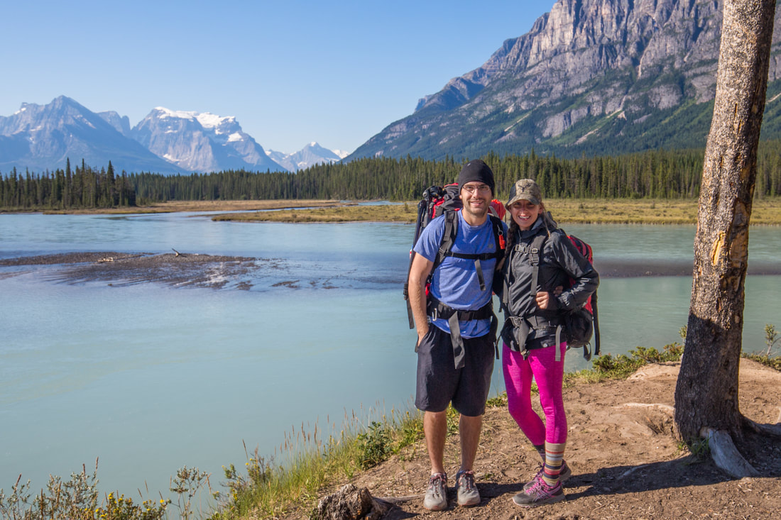
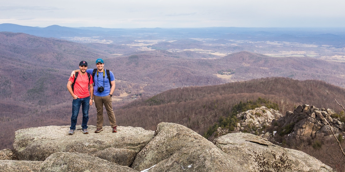
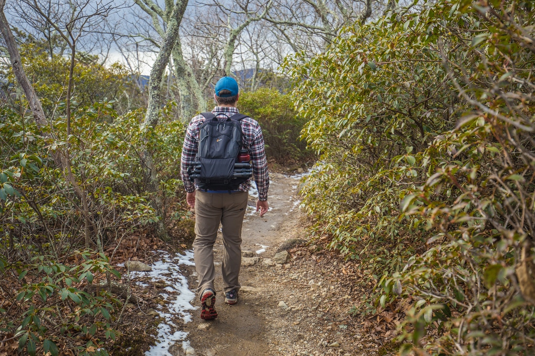
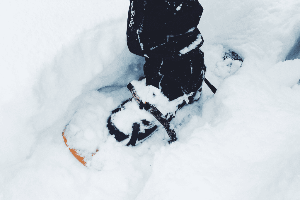
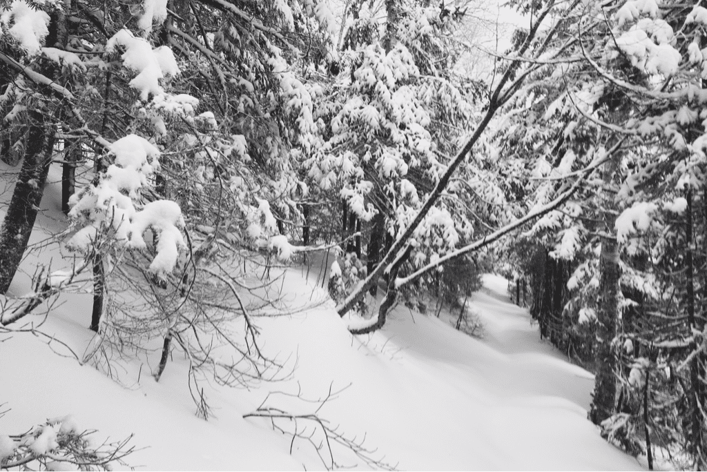
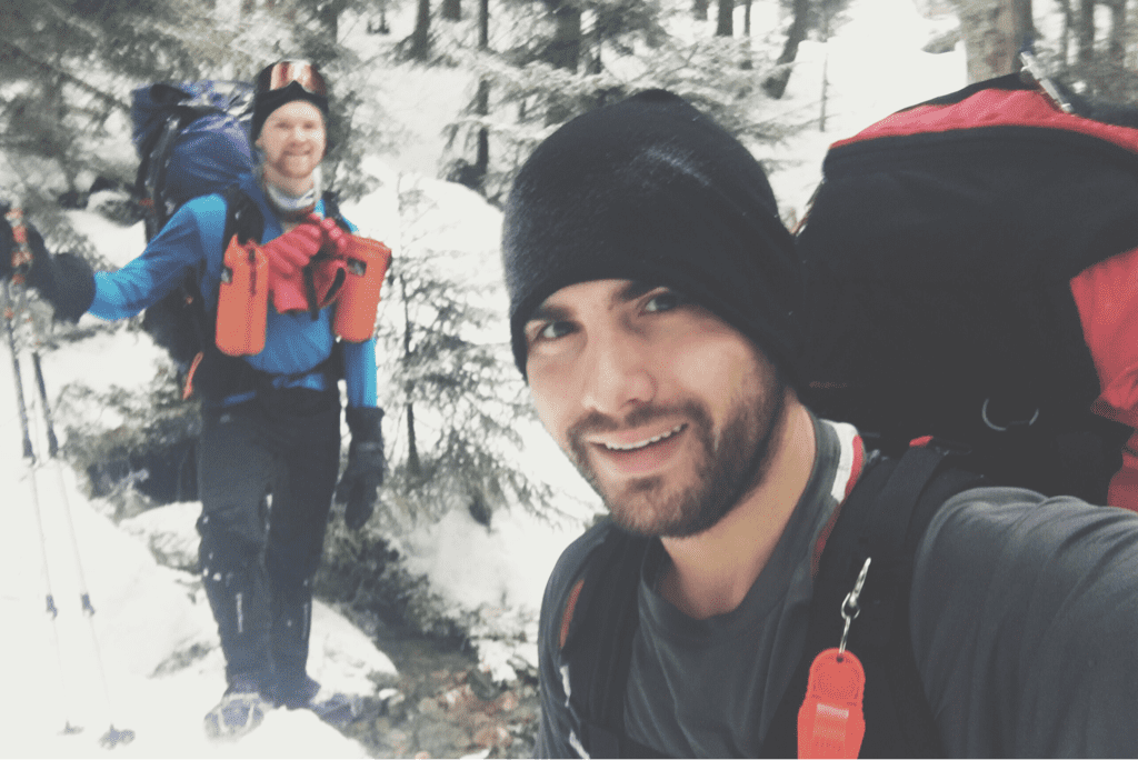
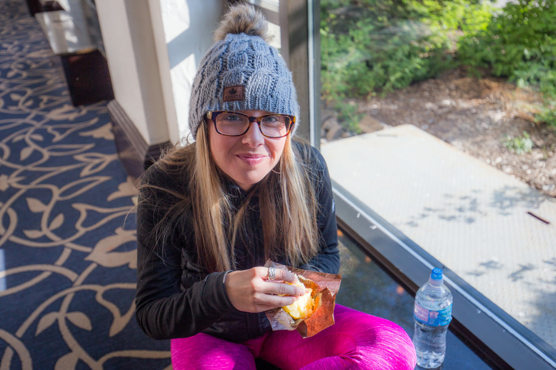 Dressed For A Different Season! | 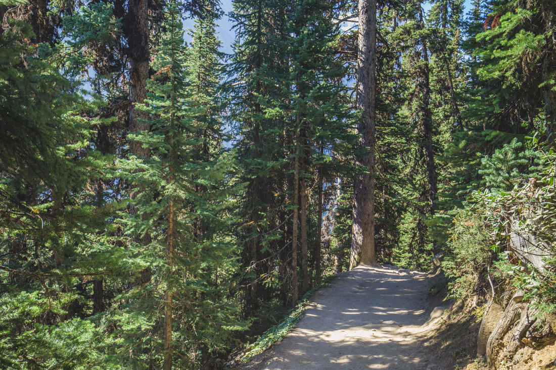 Carved Out Switchbacks |
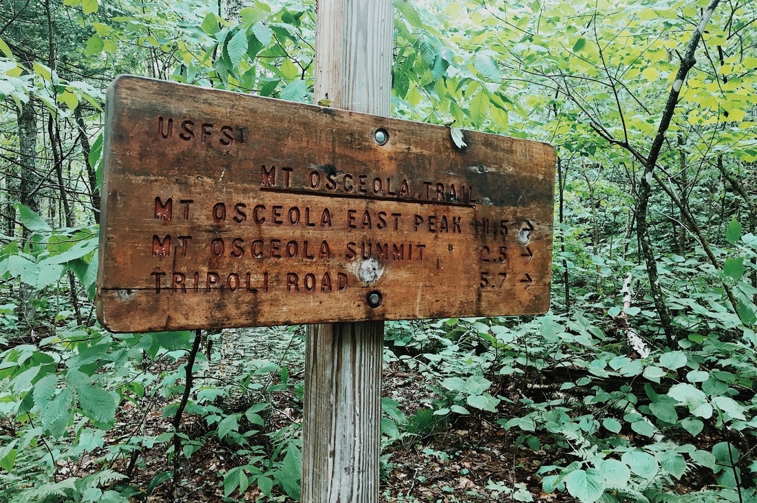
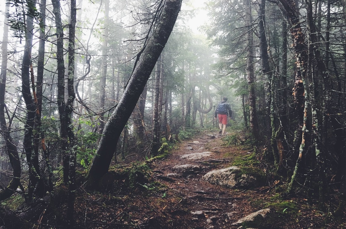
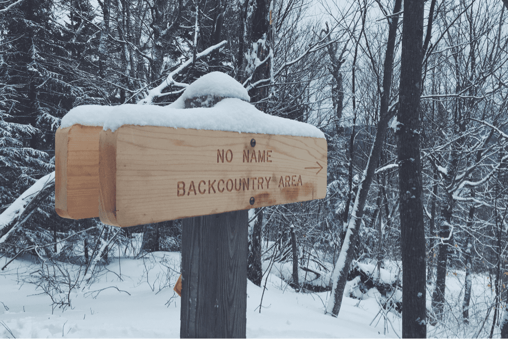
The Lake Agnes Tea House hike is a notable attraction for people of all ages and abilities visiting the Lake Louise area. Climbing from the water’s edge up into the mountains the trail covers 3.4km each way and gains just over 1,100-feet of elevation as it goes along. The trail is relatively well manicured throughout the hike, and is four people wide for the most part. Temperatures were in the high 60s as we started our trek and we looked funny standing next to each other, me in a short sleeved polyester New Balance top and shorts, Dani in a hooded down jacket, fleece insulating layer, and long sleeve polyester top with yoga pants. One of the exciting things for me on this day was the opportunity to test out a new pair of active-wear compression shorts called Eletrunks (more on that later). I took the lead as we passed the trailhead sign and carried on happily at my usual 3 mph pace for a few hundred feet before realizing that it wasn’t a pace we would be able to happily maintain. I urged Dani to hike in front of me so that I could match her pace, and we carried on that way for the next two hours.
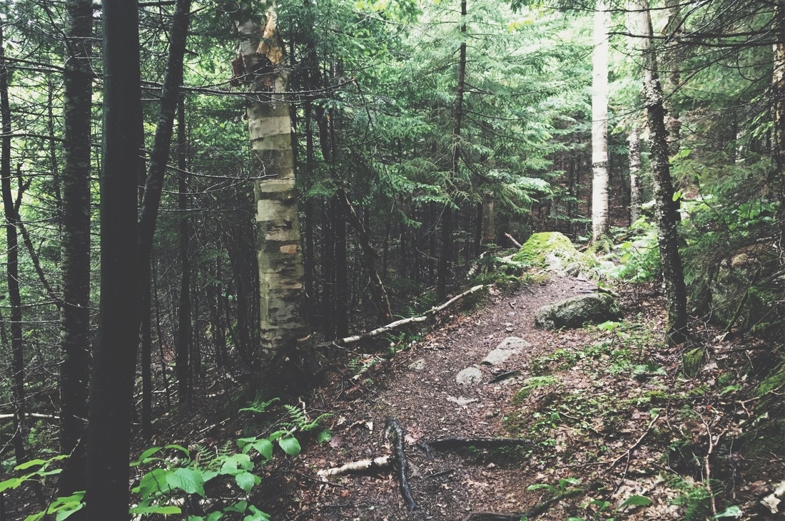
The trail wove its way through a pine tree forest, carving switchbacks into the side of the mountain as we climbed to the Lake Agnes Tea Hut. It was awesome to see all the people out hiking, as there was absolutely no blatantly noticeable demographic of the people around us. For the most part the hikers were Asian, and we very rarely heard English spoken as we moved along, passing most people and occasionally being passed by others. Some people on the trail wore what I would consider normal hiking clothes, polyester or wool, while others wore anything from jeans to khakis to long dresses, t-shirts, pea-coats, denim jackets (with glittery bedazzles), any anything in between. Footwear ranged from trail runners to over-the-ankle leather hiking boots, flip-flops to heels, and one person trekking barefoot. There were a handful of backpacks and a few Coach/Michael Kors bags, with the majority of people simply carrying a bottle of water in their hands. I’m sure my backpack looked like overkill to many.
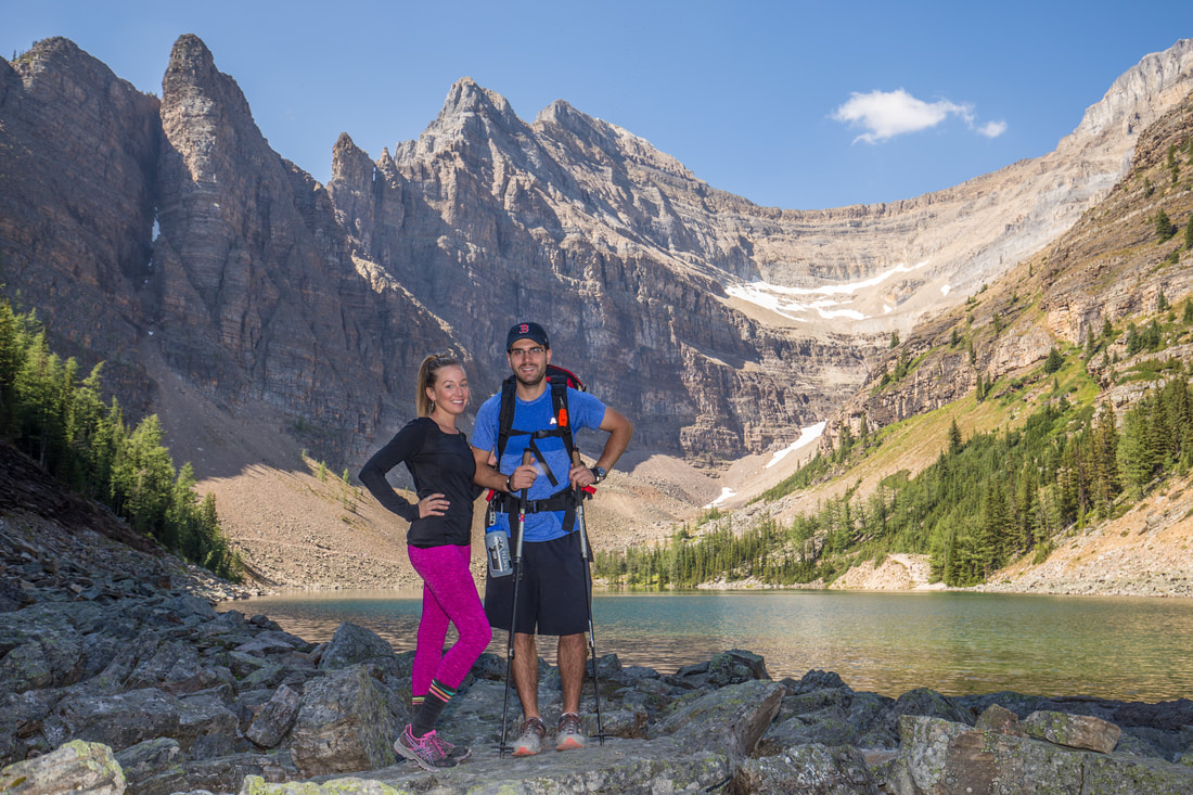
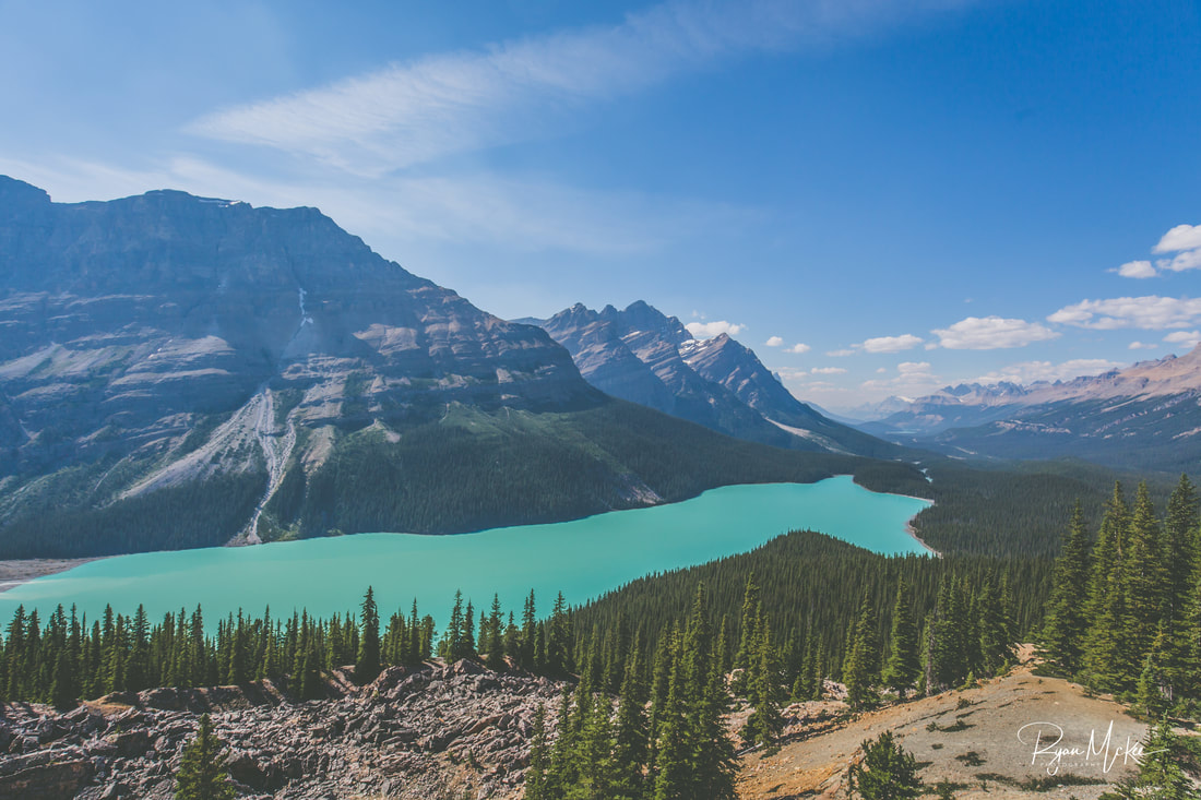
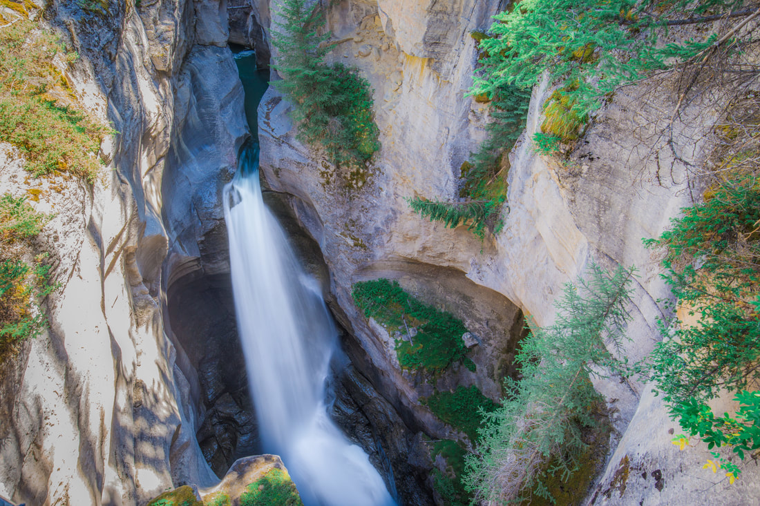
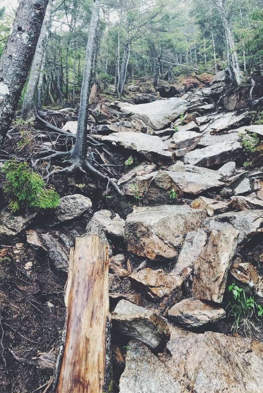
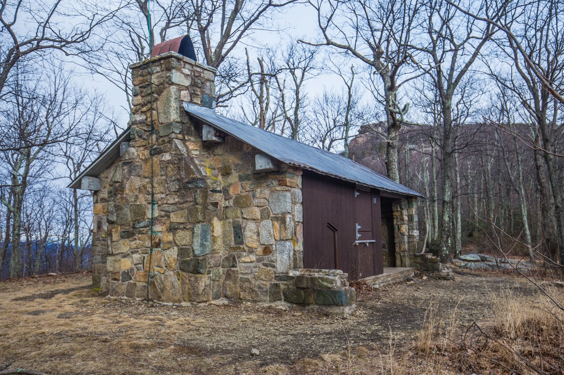
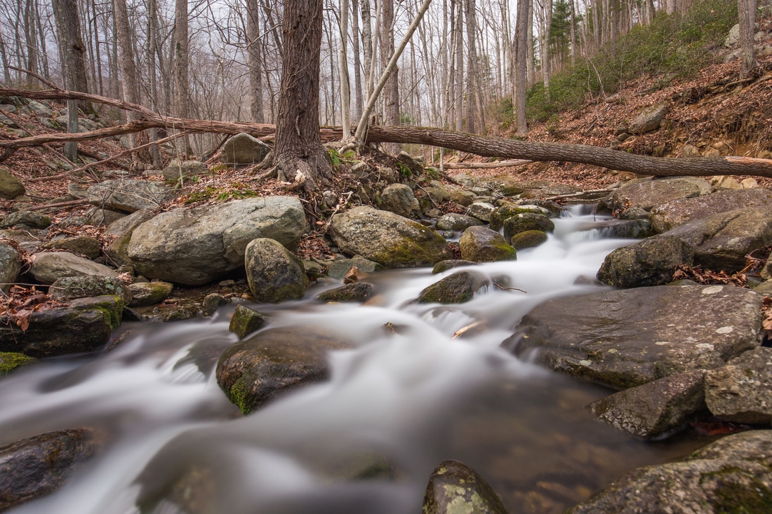
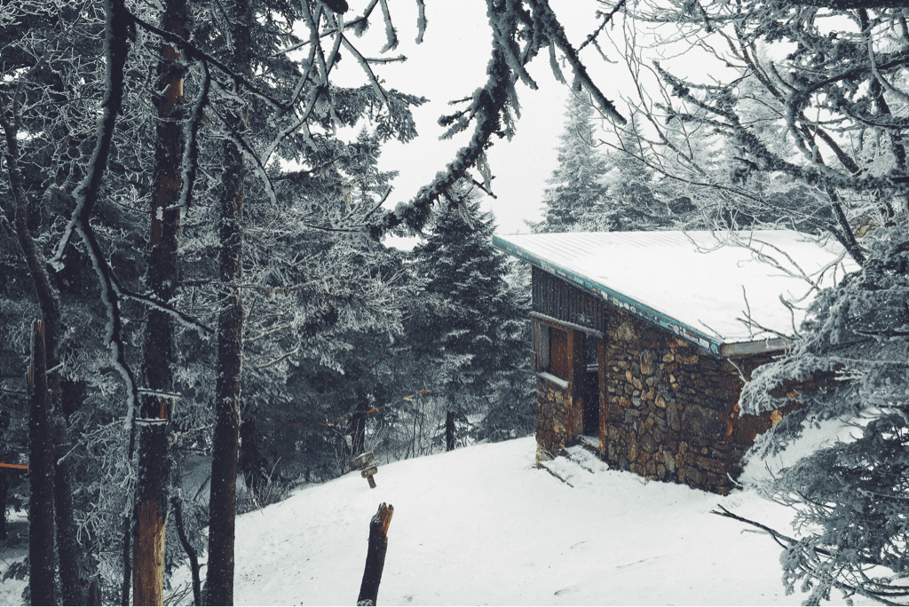
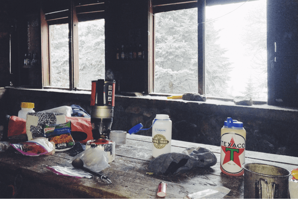
As we climbed higher the trees occasionally gave way for unobstructed views to the saturated water of Lake Louise below us and the snow-capped peaks on the ridges opposite us. We stopped for a quick snack, water, and rest break just over halfway up and sat on a fallen tree that was well positioned for sitting on. From there the trail became more strewn with rocks bulging out of the dirt as the sun reached the perfect height to be baking down on our backs. At one point we passed a corral of horses tied up and being groomed by a mountain guide, evidence of the tour company that brings people up to the tea hut on horseback for the small fee of $180 or so. We learned (thanks to an inquisitive guy in front of us) that this was the highest point the horses get to, leaving the paying client to hike the last quarter mile to the tea hut itself. A bit further up the trail we made a sharp hairpin turn by a waterfall, run-off from Lake Agnes, then began climbing a steep set of grated steel stairs that brought us up alongside the side foundation of the tea hut itself. The large wooden building sits nicely up on the edge of Lake Agnes, only a dozen feet from the steep rock cliff that the stairs parallel, and the large patio was buzzing with noise from the immeasurable number of hikers who were waiting to order tea or snacks. With an unknown wait time to actually sit on the porch, we got a cup of tea and a cookie from the “To-Go” line and went to sit on a rock by the edge of the lake and soak up the sun and scenery of this gorgeous summer day.
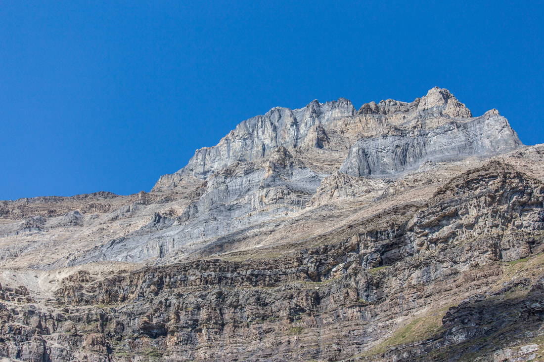
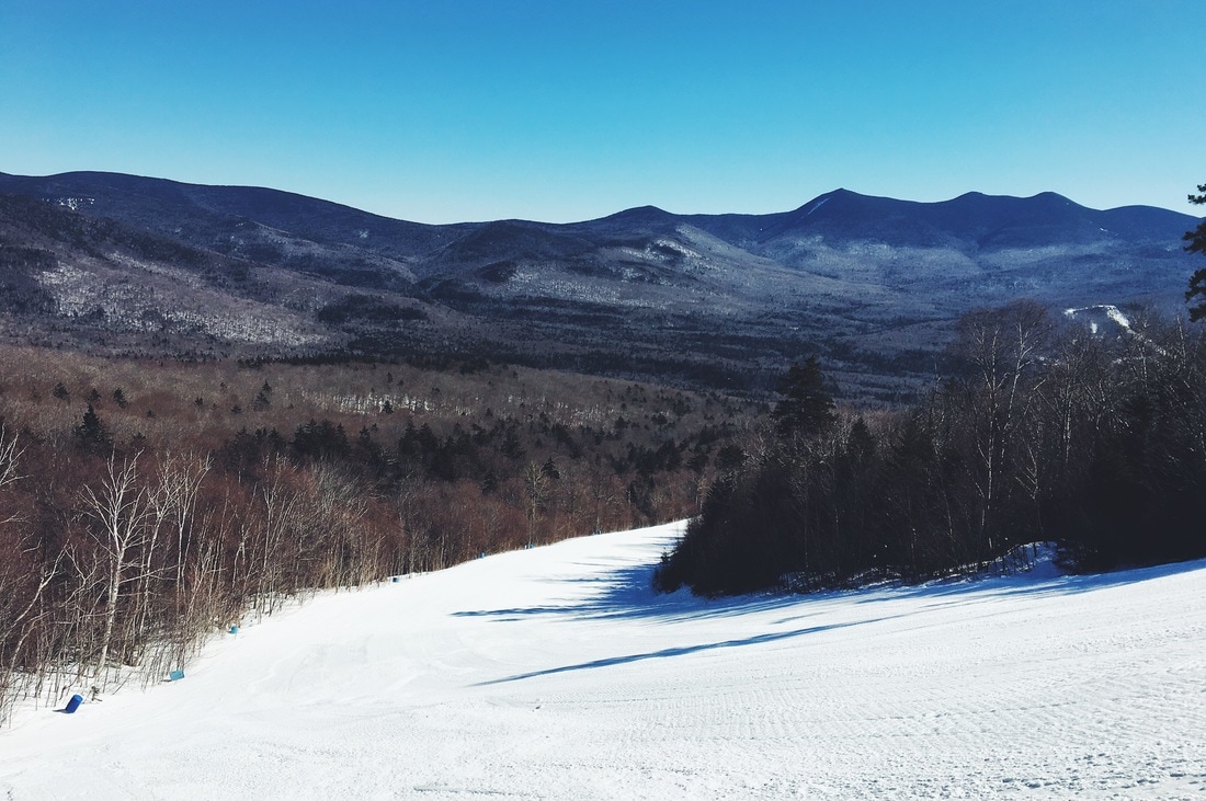
Mt. Niblock
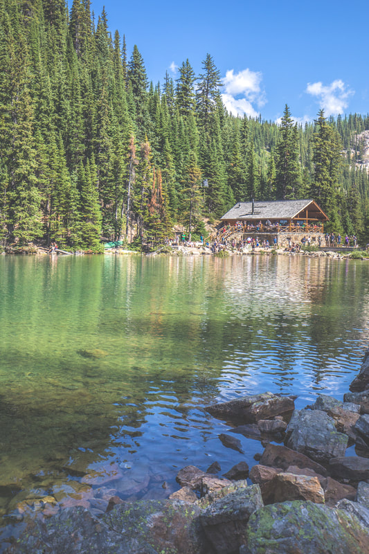 Lake Agnes Tea Hut | 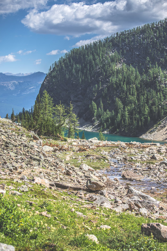 Exploring Rock Fields |
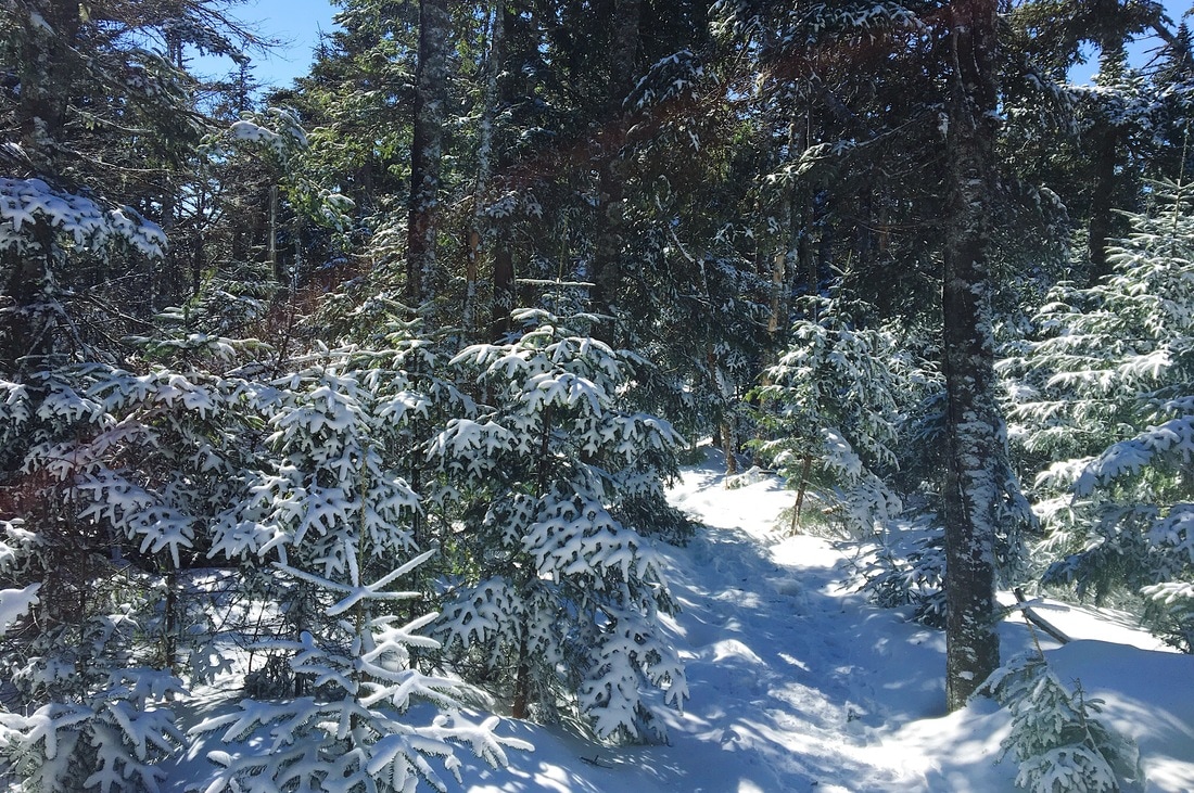
Lake Agnes
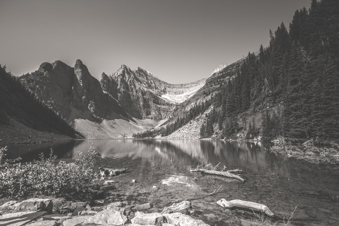
After finishing our tea and snack we cautiously stepped out onto the expansive rocky shore of the eastern side of the lake, cooling off in the shadows of the mountain peaks above us. Taking some goofy photos with my camera, the snow on the other side of the emerald green lake caught Dani’s attention, and we changed our itinerary to include a venture to the snow pack on the southern edge of Lake Agnes. It was fun to explore the mountain, making our way up a rocky avalanche chute, seeing different kinds of vegetation and wildlife from anywhere else in the park. The terrain was toying with my mind as I began daydreaming about a thru-hike of the Pacific Crest or Continental Divide Trails. Around high noon we turned back towards the tea hut and waiting in the excruciatingly long line for their privy-style restrooms before beginning our descent of the mountain. Dani led the way again, enjoying the ease of the down-hill slope and passing almost everyone in front of us as we went along. I was genuinely happy to see so many people out in the mountains for the day, and made repeated comments to Dani about how great it was to see people challenging themselves - I say this kindly, many people appeared to be challenging themselves with the hike – and experiencing the national park in more fulfilling way than tourism from a car window could ever provide. We arrived back at the picturesque shore of Lake Louise at 13h00 having hiked just under 7 miles to, from, and around Lake Agnes.
Gentlemen readers: revisiting the mentioning of Eletrunks from earlier in the post, I wanted to take a second to talk about them in more detail. A week before the start of our trip I was contacted by one of the co-founders of this Brooklyn, NY company about testing out their compression shorts during my adventures. Over my years backpacking, cycling, running, even doing generic outdoor sweaty activities, I have tested many different manufacturer’s compression shorts. The design of Eletrunks allows for some “compartmentalization” that immensely improves discomfort and almost all potential for chaffing. Few companies, if any, address this as attentively and elegantly as Eletrunks does. I can confidently say that I’d have traded every Little Debbie snack from Georgia to Maine to have had these on the Appalachian Trail in 2014. If you’re interested in finding out more about them, head on over to EletrunksNation.com – you can even use the code “2180miles” at check-out for 10% off your order.
We packed up our gear in the car and made a quick stop downtown for delicious sandwiches, putting us in great shape to depart from Banff National Park for the final time, our destination coordinates set to an Airbnb in downtown Calgary some three and a half hours away. The drive was painless but saddening, a blunt re-entry to the civilized world as pine trees and mountains gave way to endlessly flat pastures, giving way to factory smoke stacks and eventually a the skyline of Alberta’s largest city. For $150 we’d spend two nights in a modern high-rise condo downtown, complete with elevator access to our unit and underground garage parking for the Grand Cherokee. It was absolutely perfect for what we needed, and after four trips bringing up what felt like all of our stuff, we took showers and a short nap before getting ready for a night out on the town. In celebration for the nearing end of our National Parks trip I had made reservations at the Calgary 360 Tower, a 626-foot skyscraper and observatory with a rotating restaurant on the top floor. For $6 we took an Uber a mile and a half to the building’s main entrance, checking in at the front desk before beginning the fifty-someodd floor elevator ride to check out the observation deck before our table was ready.
Dinner unfortunately wasn’t over-the-moon “oh my gosh” incredible, but sitting together at a window seat watching the sun set and dusk creep in as the restaurant slowly rotated over the city below us was an incredible way to spend the evening. We indulged on four separate courses before paying the tab and taking an Uber back to the condo just after 22h00. It had been a long day with an incredibly diverse range of activities and geographically induced surroundings. While I had hoped to do a bit more hiking between both national parks, we had spent a self-supported night at a remote campsite in Jasper and had followed it up, at Dani’s request, with a 7 mile hike to the glacial snow and tea hut above Lake Louise in Banff. Our plan for the next day was to have a relaxing exploration of Calgary; it was to be our last day together as my co-pilot was flying out of YYC (Calgary International Airport) to get back to work in Florida. Falling asleep wasn’t set up to be easy, the condo warm from the all day sunlight shining in and a lack of air conditioning in the unit, but my eyes closed quickly, exhausted by all that we had accomplished in one days worth of adventure.
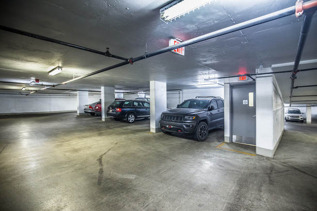
Back In A Concrete Jungle
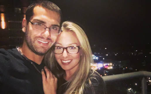
Date Night in Calgary


 RSS Feed
