
Happy New Year’s Eve.
I promised a friend I’d get this summer’s trip write-up finished by the end of the year… This fall proved to be exceptionally busy and life certainly hasn’t slowed down in the last few weeks. As such, I sit here in very cold Boston, Massachusetts (it's -12°F with windchill) watching Rockin’ New Years Eve on ABC and writing the finale blog post to a summer of adventure… so here we go, the storyline of the last 530 miles of the journey.
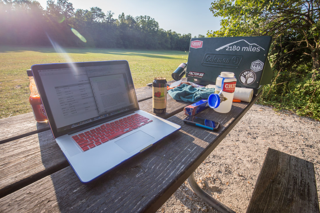
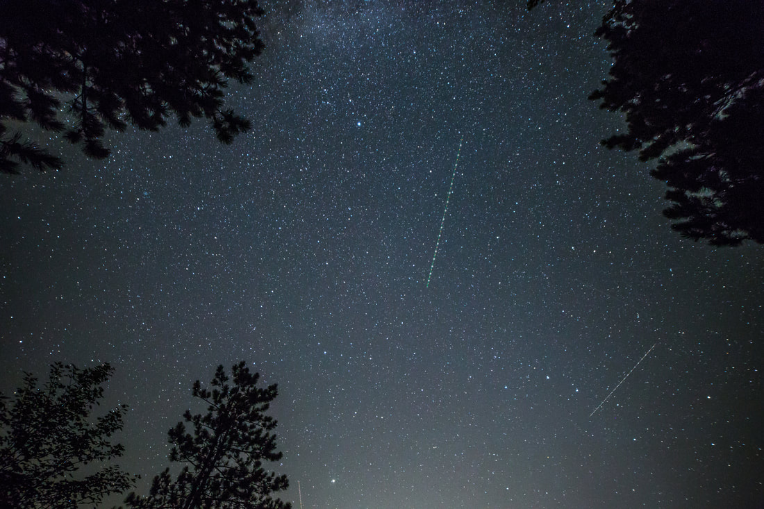
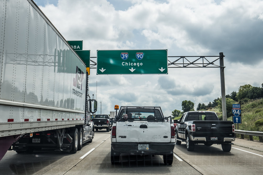
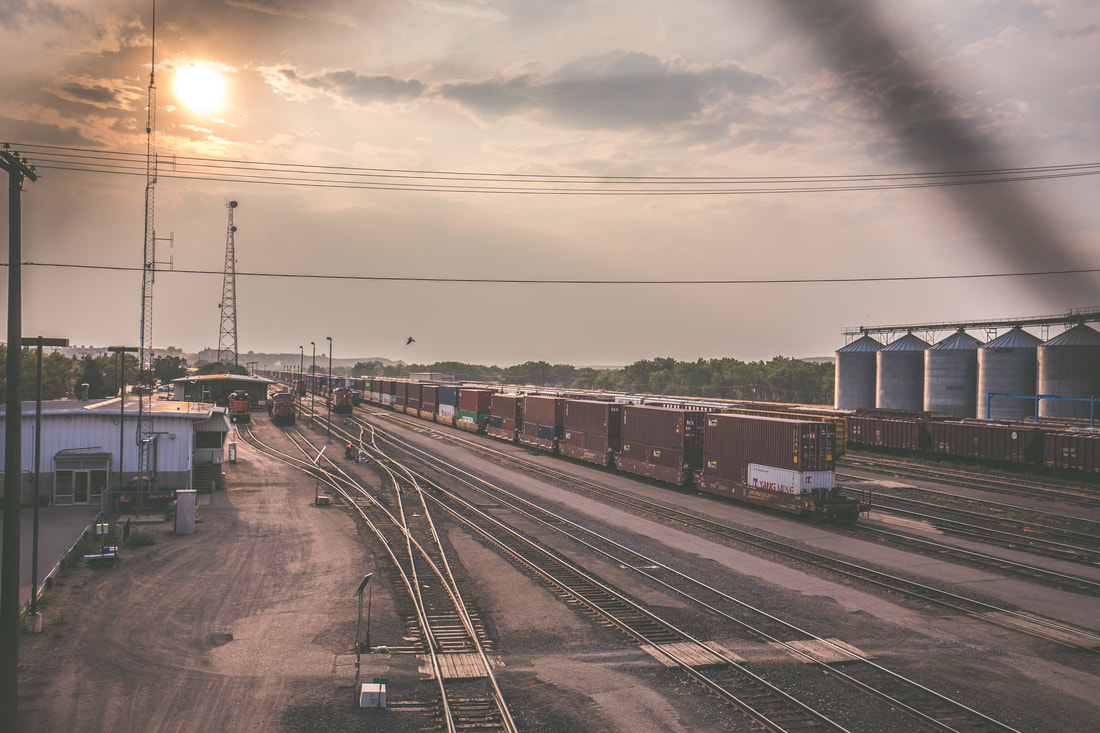
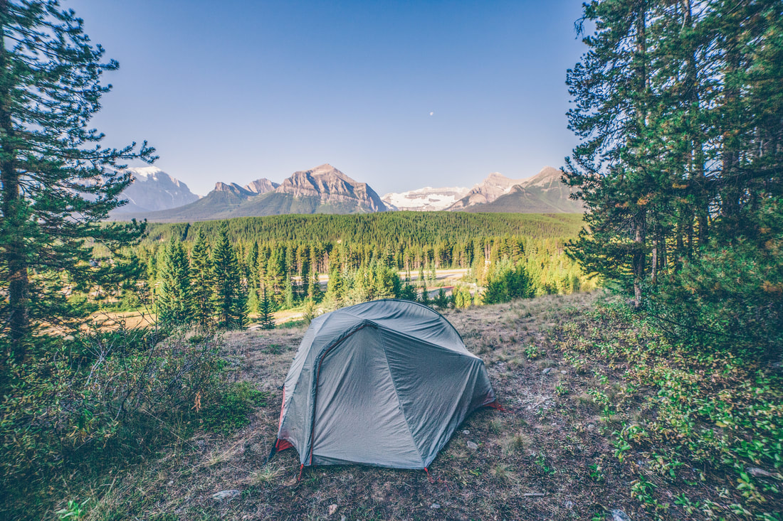
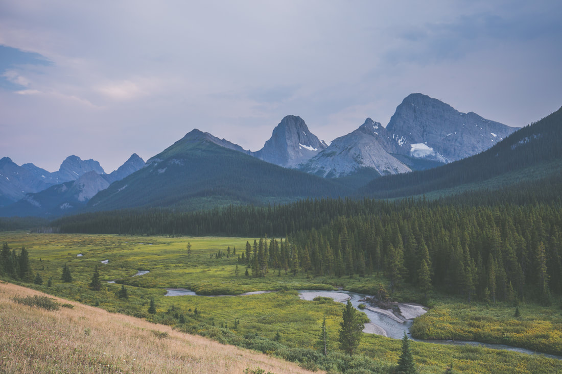
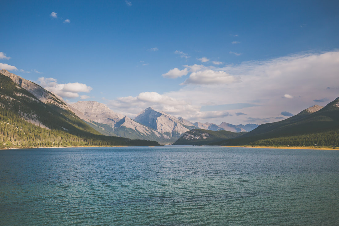
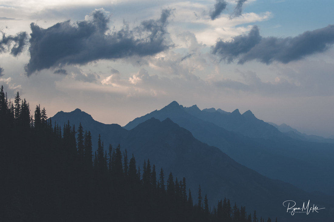
I slept soundly in Puxatawney, waking with the sun and quickly packing away the gear inside the Jeep. I snapped a quick photo of the “campsite” and was on my way again, navigating the sleepy back roads before eventually arriving back on I-80 eastbound. My dreams of cruising along through Pennsylvania were quickly shattered as traffic backed up for miles due to seemingly endless construction. Knowing that my days were numbered as a roadway traveler, I rolled the windows down and turned up the music, enjoying the rolling green hills around me as I worked my way towards Poughkeepsie, NY. My plan was to complete the 300 mile route to visit my aunts and grandparents, spend the night, then head on back to home in Boston.
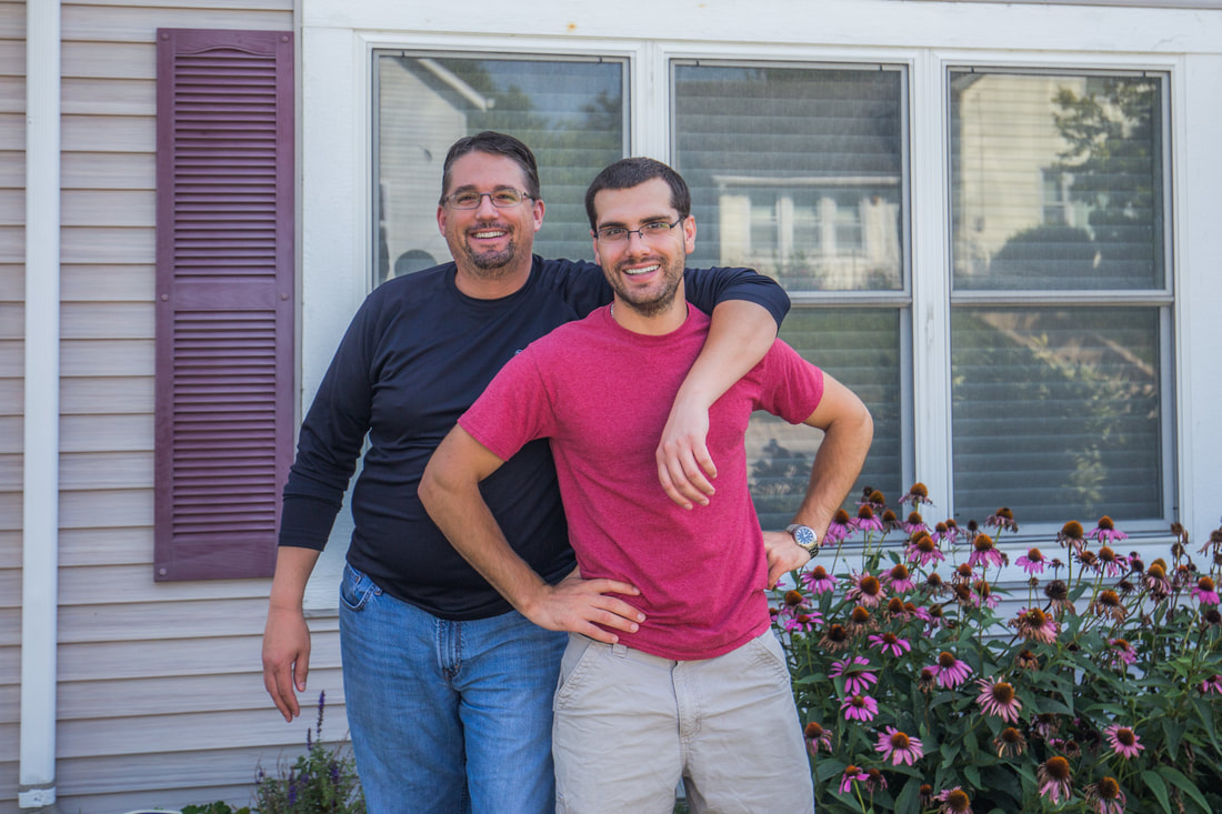
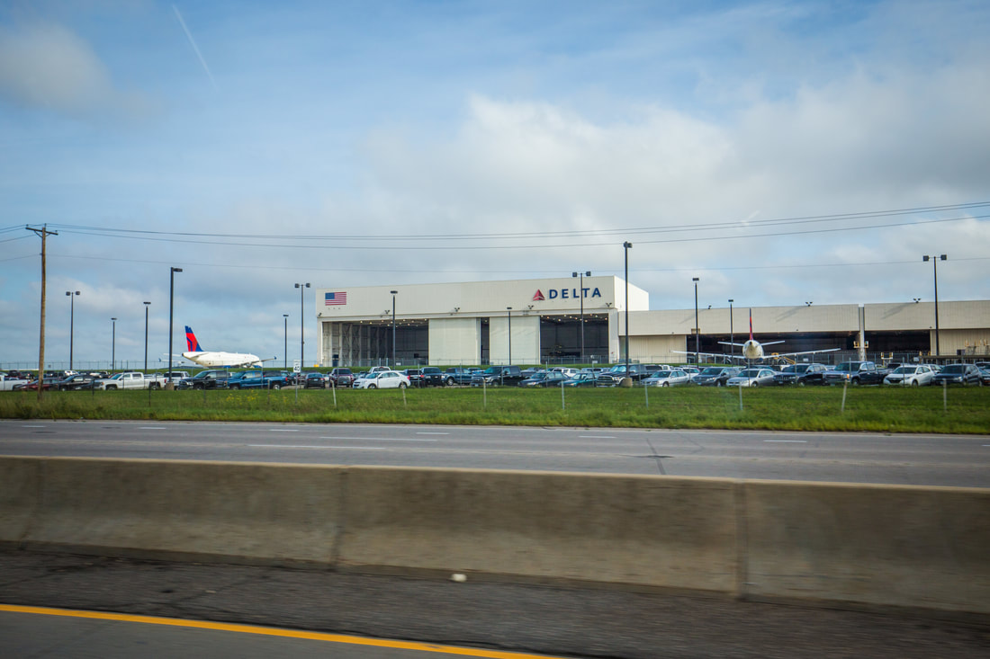
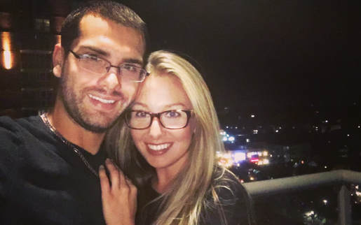
Shortly after 10h00 the traffic cleared up, and within an hour I saw my first Massachusetts license plate. With cruise control set to 70 I passed by corn fields and under party cloudy skies, eventually turning onto I-84 around Scranton, PA and seeing the “Welcome to New York” sign shortly thereafter. I pulled into Poughkeepsie in the mid-afternoon and spent an enjoyable afternoon relaxing with family and showing them the photos of the trip I’d so far had the ability to catalogue and touch up. We ate an early dinner at one of my grandparents most frequented local restaurants, and I fell asleep not long after the sun went down.
I promised a friend I’d get this summer’s trip write-up finished by the end of the year… This fall proved to be exceptionally busy and life certainly hasn’t slowed down in the last few weeks. As such, I sit here in very cold Boston, Massachusetts (it's -12°F with windchill) watching Rockin’ New Years Eve on ABC and writing the finale blog post to a summer of adventure… so here we go, the storyline of the last 530 miles of the journey.
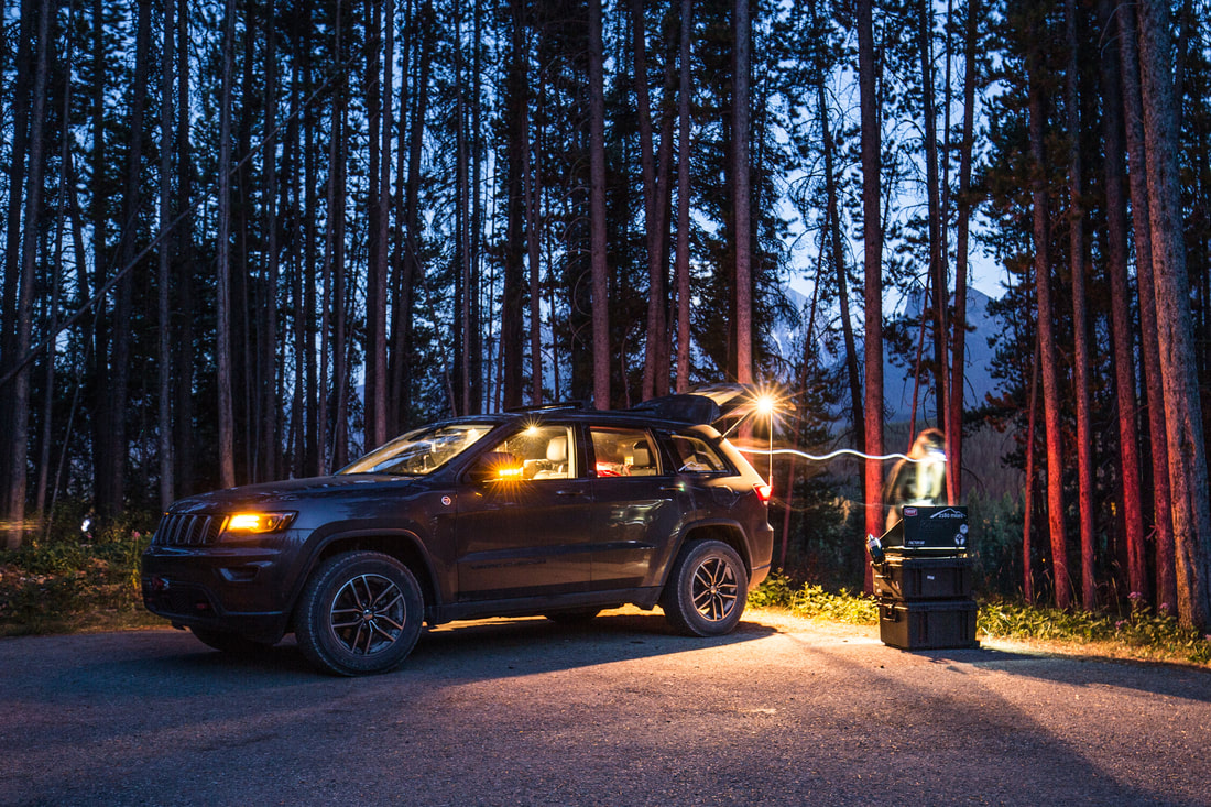
I slept soundly in Puxatawney, waking with the sun and quickly packing away the gear inside the Jeep. I snapped a quick photo of the “campsite” and was on my way again, navigating the sleepy back roads before eventually arriving back on I-80 eastbound. My dreams of cruising along through Pennsylvania were quickly shattered as traffic backed up for miles due to seemingly endless construction. Knowing that my days were numbered as a roadway traveler, I rolled the windows down and turned up the music, enjoying the rolling green hills around me as I worked my way towards Poughkeepsie, NY. My plan was to complete the 300 mile route to visit my aunts and grandparents, spend the night, then head on back to home in Boston.
Shortly after 10h00 the traffic cleared up, and within an hour I saw my first Massachusetts license plate. With cruise control set to 70 I passed by corn fields and under party cloudy skies, eventually turning onto I-84 around Scranton, PA and seeing the “Welcome to New York” sign shortly thereafter. I pulled into Poughkeepsie in the mid-afternoon and spent an enjoyable afternoon relaxing with family and showing them the photos of the trip I’d so far had the ability to catalogue and touch up. We ate an early dinner at one of my grandparents most frequented local restaurants, and I fell asleep not long after the sun went down.
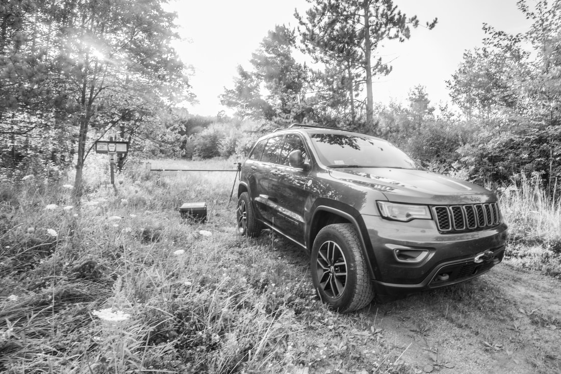
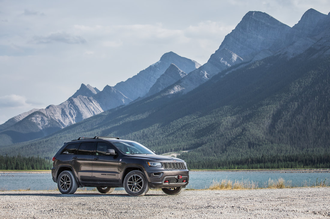
My Puxatawney Campsite
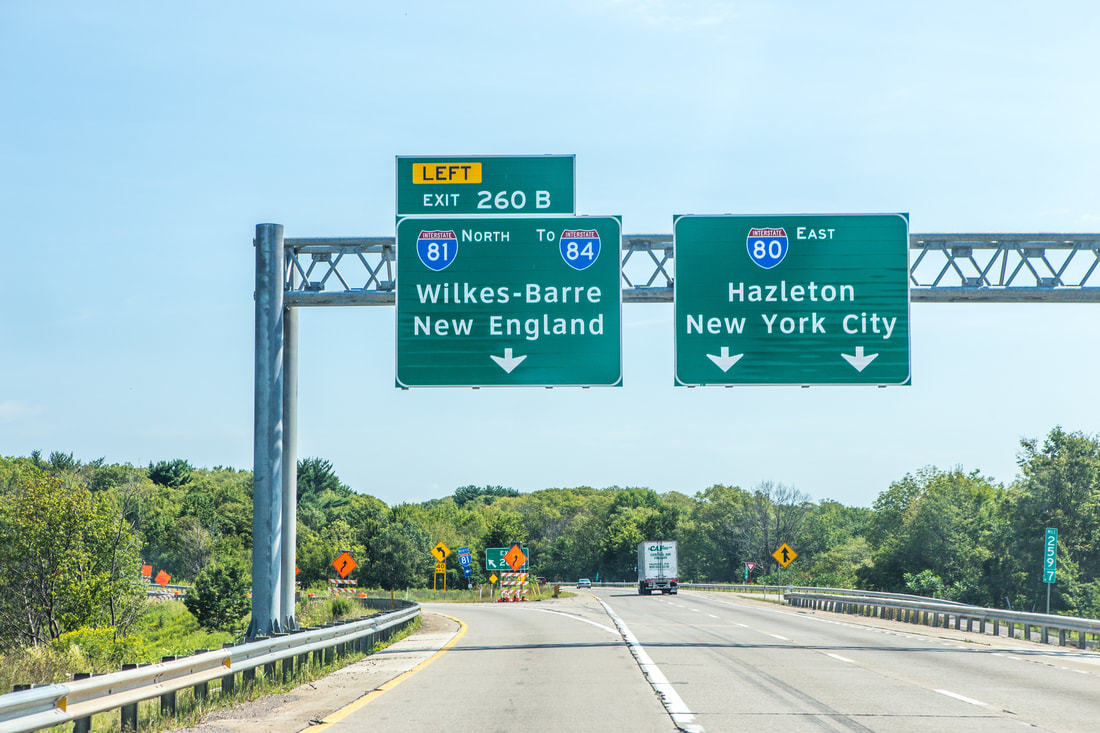
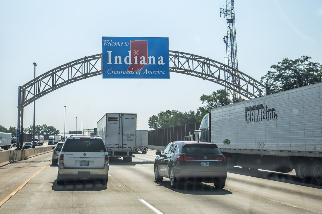
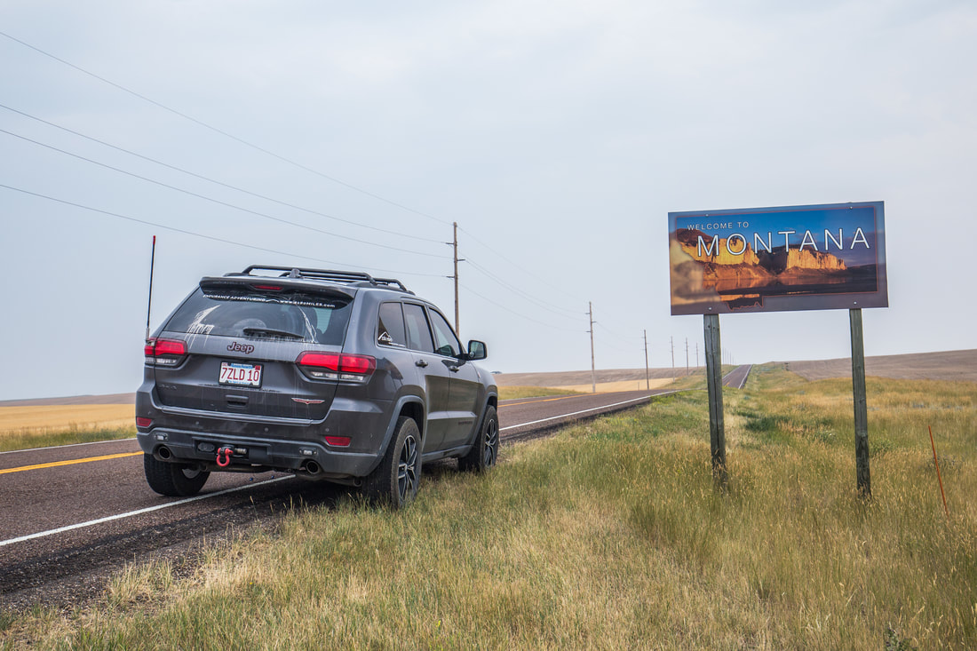
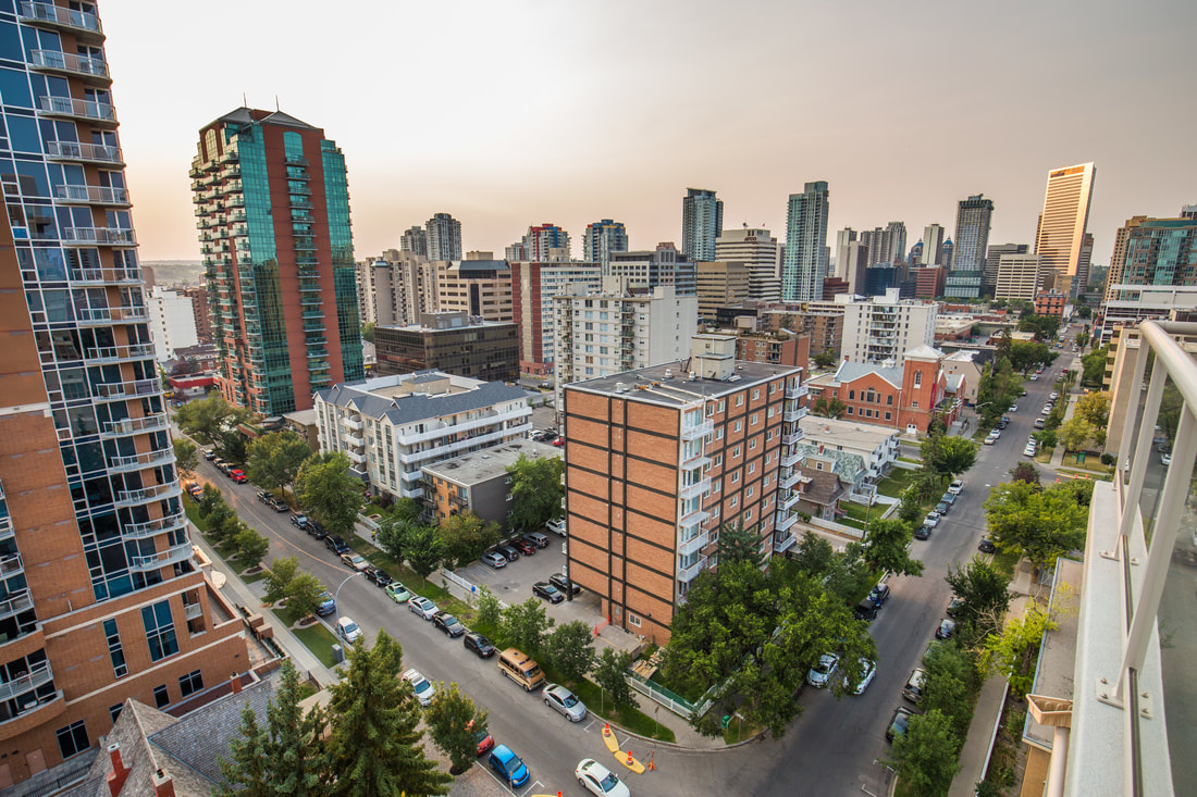
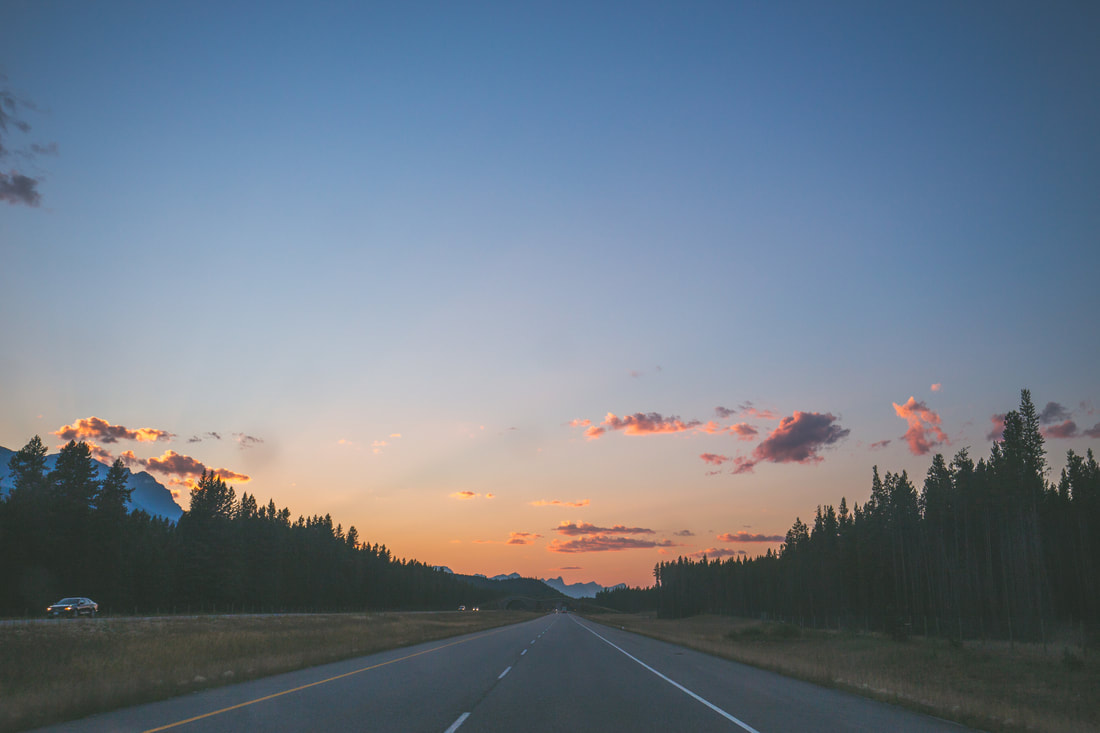
Headed Back to New England
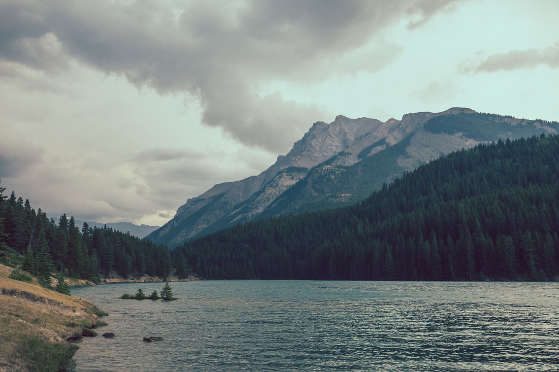
The next morning came quickly, and I stared out the window at an overcast world while a gentle rain fell on the Hudson Valley. I ate a quick breakfast and talked about plans for future exploration endeavors with my grandfather – a man who always saves New York Times obituaries of great adventurers for me to read. Somewhat anxious to get home, I loaded what little gear I had brought inside and hugged my grandparents before hitting the road around 11. As I headed towards the Taconic State Parkway the rain steadily increased in volume, eventually becoming a downpour by the time I got to I-90. The three and a half hour drive went by without a hitch, and crossing back under the Boston skyline put a huge smile on my face and a sense of sadness in my heart. Crossing over the Zakim and Tobin bridges and getting off the highway, I pulled into my driveway and sat in the driver’s seat for a while without moving, a light rain still falling on the Jeep's roof.
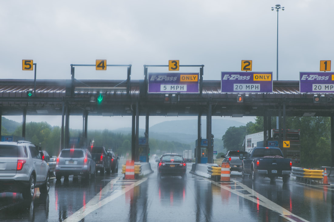
Welcome Back to I-90
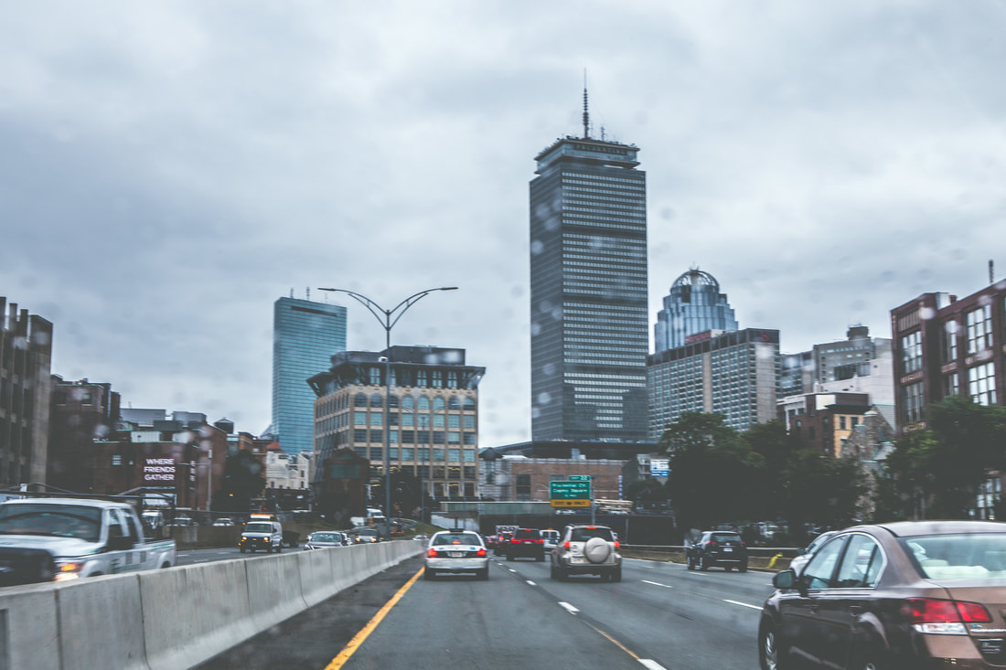
Finally Home
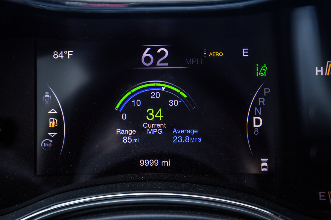
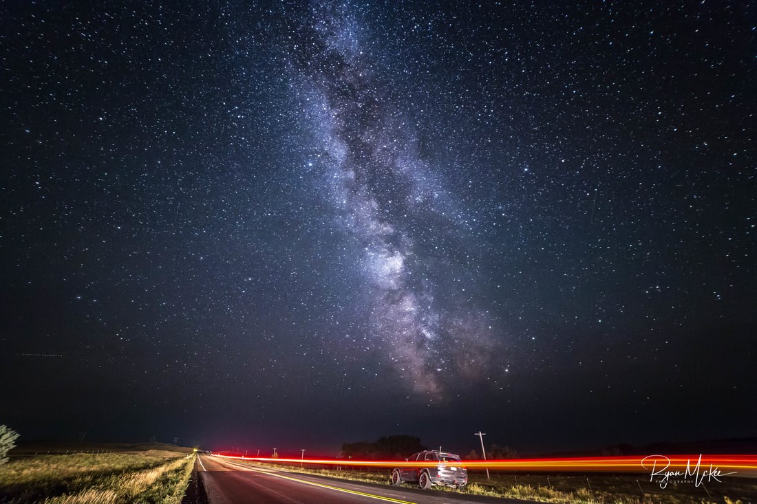
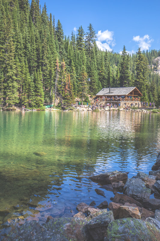
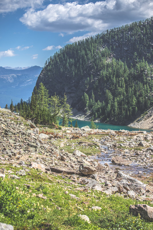
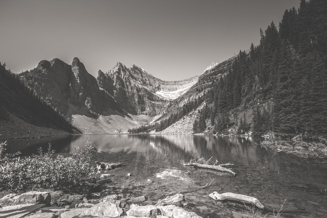
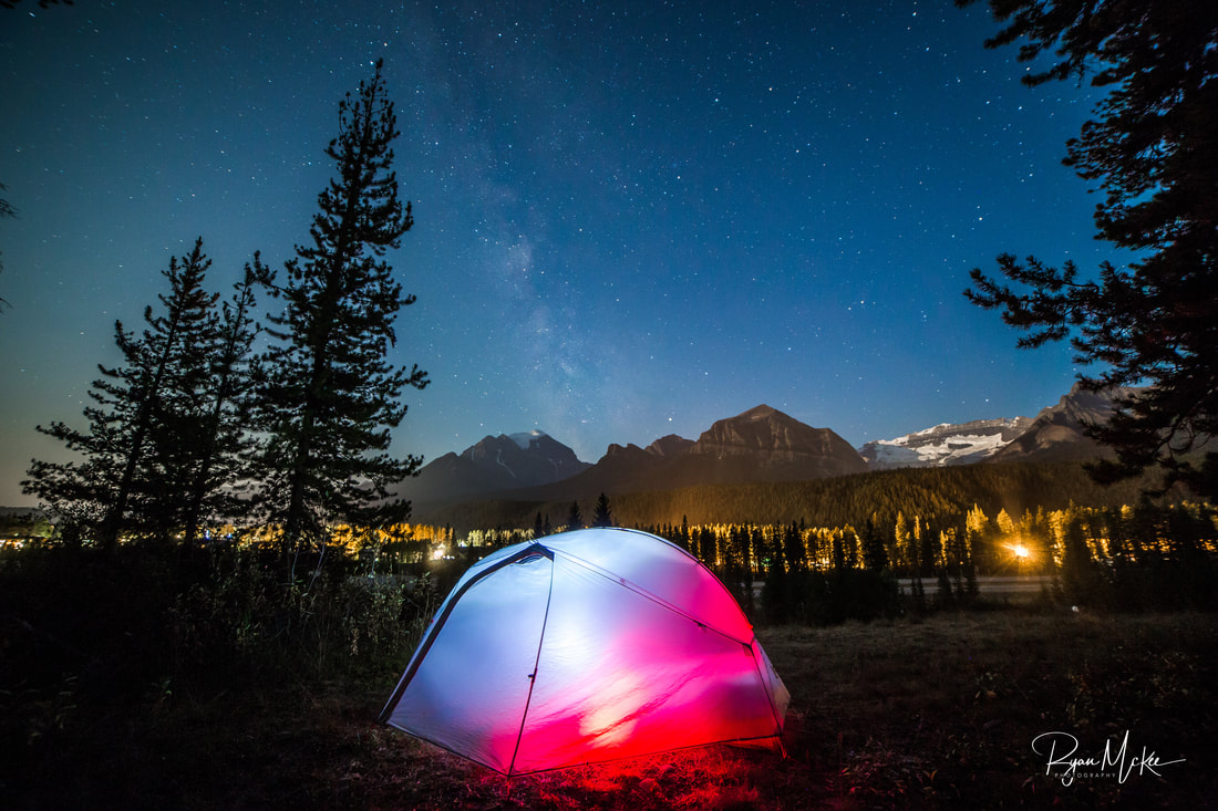
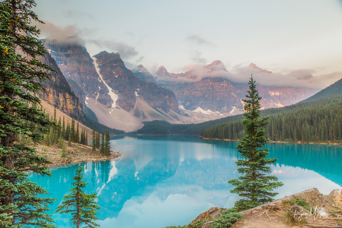
It had been 24 days since leaving this same place, and our Trans-Canada Overland Expedition, as I've come to call it, had covered 6,793.3 miles across 5 Canadian provinces and 11 U.S. states. We averaged 23 miles per gallon over the distance, consuming just under 300 gallons of gasoline, 176 of which were purchased as Canadian liters. We carried a reasonably sized and exceptionally reliable array of vehicular gear, mechanical equipment, radio/comms/navigation systems, camping gear, and photography equipment, the majority of which was used almost daily. With the sole exception of what was now a sizable crack in my windshield from the dump truck in North Dakota, we had traveled nearly 7,000 miles without an accident or police interaction of any kind. We saw two of the most beautiful national parks I’ve ever laid my eyes on, stood and camped under vast starry skies, and soaked up some of the most indescribably brilliant colors beaming up from lakes so spectacular I’ll never be able to adequately describe them to you. The trip was a complete success, and one that will forever serve as a basis for a passion in long-distance overlanding and even weekend backcountry exploration on wheels.
Thank you all for following along and sending in your thoughts, comments, and compliments; above all though, a special thanks to each of you for your endless support of and enthusiasm towards adventure.
It’s 23h28 as I finish typing this... meaning I’ll be able to publish the blog before midnight on the last day of 2017, as promised. Happy New Year to all, and best wishes for your year ahead... I'm sure we’ll talk soon :)
Onward & upward,
Ryan McKee


 RSS Feed
