Day: 43
Day mileage: 23
AT total mileage: 715
Time: 10.5 hours
--
The rain continued on late into the night, at times blowing into the shelter with big gusts of wind. I tightened my mummy style sleeping bag over my face leaving just enough room for my mouth to breathe cold fresh air, and slept soundly throughout the night. Waking up an hour before everyone else, I quietly redressed & packed up my backpack, doing my best to not disturb anyone. I think one of the hardest parts of being a thru-hiker is not just hiking on exceptionally rainy days, but even more so waking up when the rain has stopped and putting on clothes that are soaking wet still. Cold, wet fabric that sticks to your skin as you try and put it on, along with soft and dry socks being slid into damp and cold shoes. This is where the 'going gets tough'. Despite this, I layered up with my fleece jacket and even my fleece hat in an effort to combat the cold morning and occasional wind, and headed out onto the long side trail from the shelter to the Appalachian Trail.
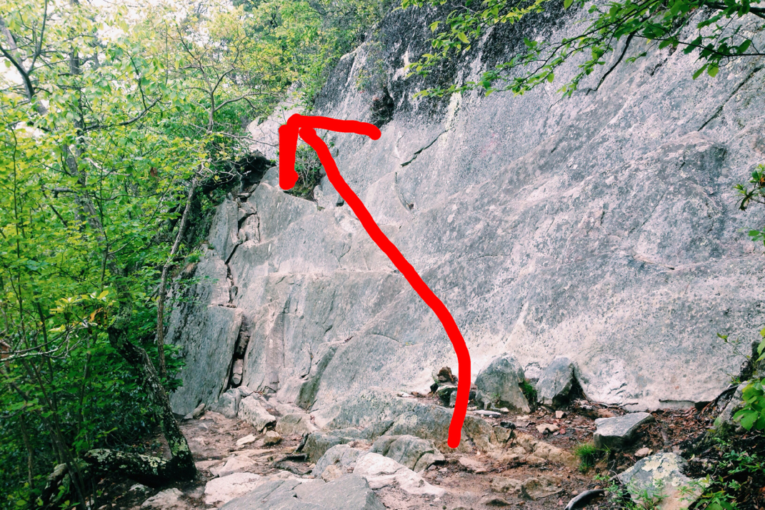
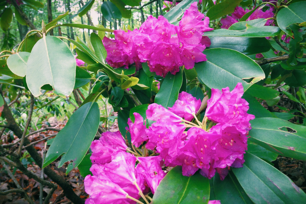
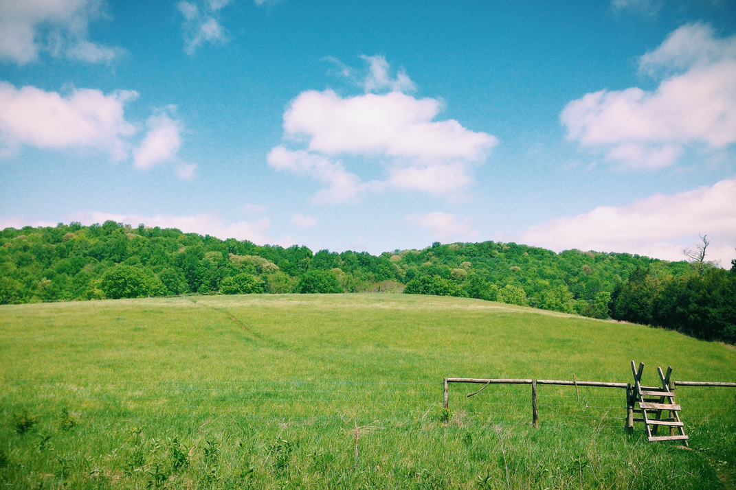
The rain from the day before was immediately evident. The ground was soaked, leaves moist with beads of water, at many points throughout the day the trail was still a running river. For the first five miles out of the shelter the trail was in a steep and elongated climb to Dragon's Tooth, a 3,000' summit, equally as rocky as the trail on the climb up. Despite the Rain having moved on, the sky was still overcast, the temperatures cold, and wind absolutely present, as I stood at the top with my jacket on. The descent from Dragon's Tooth took a long time, wet slippery and steep rocks that required some serious care and articulation in order to get down. There were points where steel ladders had been drilled into the rock in order for hikers to get down 10' ledges without dying in the process. All the while I'm thinking to myself how glad I am that I'm not a southbound hiker (having to go up this), and how fortunate I am to not have had to climb down it in yesterday's torrential rain. As the descent continued, I saw something I've been waiting to see since leaving Springer mountain 43 days ago- the rhododendrons are officially blooming. Gorgeous pink flowers spilling out from the branches of these gigantic plants, it was quite the site to see on my dreary morning of hiking. Getting down off Dragon's, I crossed through a few pastures, as well as Virginia State Route #785, the unofficial marking of the 700th mile of the Appalachian Trail. True to form, no party was to be had. Climbing through more pastures and back up into the woods, the trail followed along a ridge for 4 more miles before dumping out into a parking lot for day hikers to leave their cars in. I was able to call my mom who's currently in Idaho, but cut our conversation short when I spotted trail magic going on.
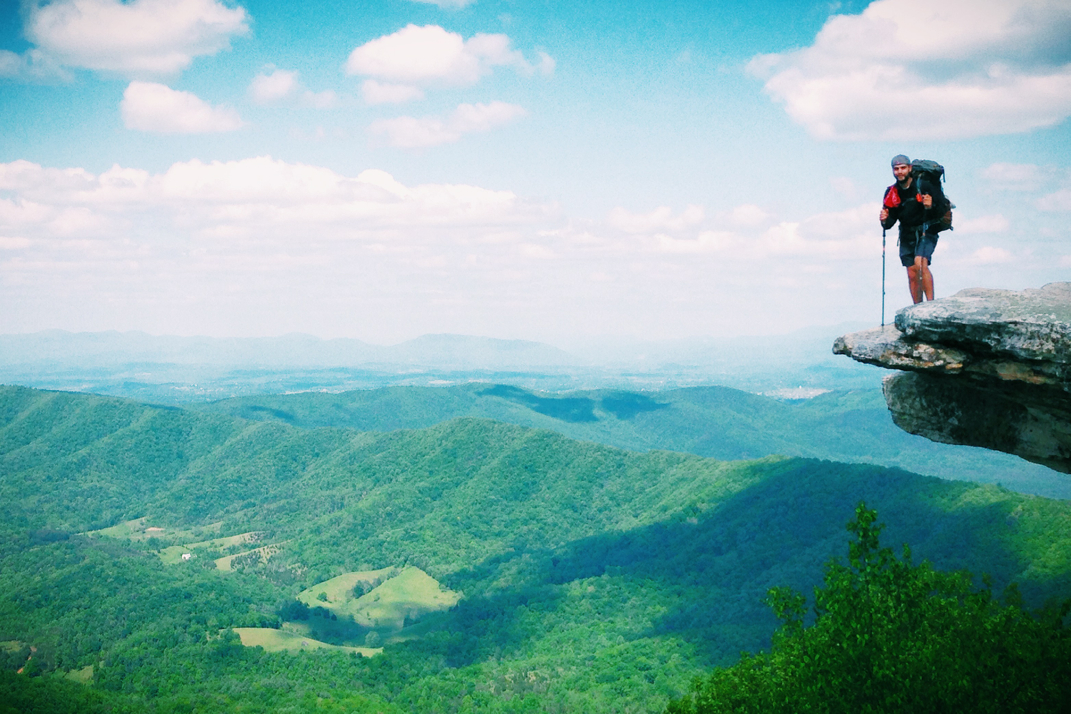
In the parking lot alongside Virginia 311 was a red Volkswagen Beetle, two guys, grocery bags from Dollar General, and a cooler. After introducing themselves as Tim and Joe, the latter of which was a 2010 thru-hiker, I was offered food from a selection of Little Debbie snacks as well as a PBR or rum & coke. Being around noon, I went for a Zebra Cake (sugary snack cake) and a cold beer. Who ever thought that this would constitute a lunch?! I sat in the parking lot with them and a few other hikers for close to an hour, again longer that I'd like to stop, but the reasoning was twofold. On the first hand conversation with former thru-hikers is great, and on the second, my dSLR lens had moisture in it from the damp air and rain the day before. In order to dry the fog off the inside of the lens, it needed to sit in the sun for a while. I propped it up against my bag pointed towards the sun and let the heat do its thing. After a while there was no moisture residue left, and I packed up my bags thanking the guys profusely. From 311, it's a 3.8 mile climb up to McAfee Knob, one of the more famous vistas on the Appalachian Trail, and the 'best view in Virginia'. This knob is an exceptionally popular tourist destination for day hikers, so the trail that's usually occupied by smelly, dirty, beard-growing guys (and gals) was swarming with perfume and deodorant lathered day hikers from a variety of places. Despite the topographical map showing the climb as steep, I'm almost entirely sure the American Disabilities people would have rated the trail to the summit as 'handicapped accessible'. It was the most gentle of slopes, taking just shy of 4 miles of trail before spitting you out at a gorgeous rocky vista overlooking the Virginia mountain ranges and the valley below. A cantilevered rock, McAfee Knob is famous for the photo of families and individuals standing on the edge, seemingly miles over the ground below them. At this point in the day the skies were a gorgeous blue, the fog having burned off, and there were a few Toy Story clouds lingering in the air. If you've ever seen Pixar's 'Toy Story' you might be able to envision the perfectly shaped fluffy clouds I'm referring to. I hung out for a while with a few hikers, also speaking with a weekender from Iran who was very interested in the details of the trail, but with the time already after 1530hrs, I took some photos and pressed on.
Passing by some gargantuan rocks that must weigh in at a hundred tons, the trail crept down off the Knob opposite the direction that day hikers would return to their cars. Just like that, the trail was mine again. Passing by a newer and larger shelter, I kept going along listening to a local country radio station with my headphone (singular, I like to be able to hear people coming up from behind and otherwise be aware of my surroundings). After a short while of a rolling section of trail, it began climbing again on its way up to Tinker Cliffs, a half-mile section of trail that literally walks along stone cliffs hundreds of feet above the forest floor below. By this time it was 1730 or so, and the wind was picking up as clouds settled back in. I was careful with every step not to trip and fall to my demise. After coming back off the cliffs and into the woods, I descended into the next gap, ultimately passing by the shelter I'd originally aimed for to instead camp a quarter mile further down the trail with a few hikers I'd met earlier in the day. Setting up my tent I officially introduced myself to World Leader from Missouri, J-Rex from coastal NH, and Voodoo from Beverly, MA. I was blown away to learn that Voodoo, an almost-dreadlock sporting girl in her mid 20s, had left a career at G.E. in the aviation engineering department.... What an amazing job path. Conversations amongst the four of us were lighthearted and comical around a lazy fire, lasting only until headlamps were necessary at which point we all retired to our tents.
My plan is to be up around 5 and on the trail by 6. Daleville, VA is 10 miles from this campsite and I need to make it to the post office before they close at noon. I'll sleep quickly and hope to pull into town by 10 at the latest, in case I need to walk the mile out of the way to USPS. Hopefully my weekend trail magic luck will kick in and someone will give me a ride. Regardless, I'll sleep well after a long but great day on the trail. Another day of sunshine and most of my stuff will actually be dry again!





 RSS Feed
