Day: 82
Day mileage: 24.5
AT total mileage: 1,602.8
Time: 9 hours
--
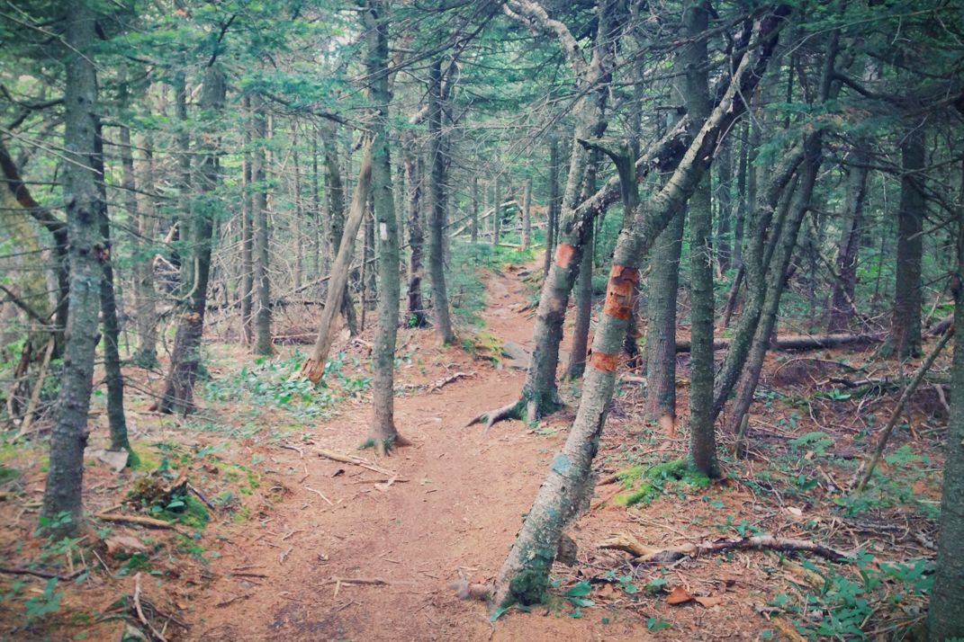
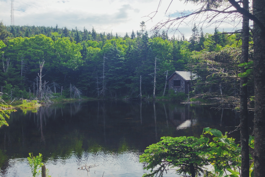
Leaving the shelter at 7:30, I began the remaining 3 mile climb towards the summit of Massachusetts' Mt. Greylock. Over the course of those 3 miles there would be another thousand feet in elevation gain, which was both challenging and fun for first thing in the morning. I had left before everyone else, and would end up being on the summit for 45 minutes or so before the rest of the group arrived. The initial part of the ascent, shortly after leaving the shelter, was much alike every other bit of trail for the past 1,300 miles. It was when the elevation crossed over 3,000' that things took an amazing turn. It was as if the red carpet was being rolled out to welcome me to New England. Climbing Greylock was picturesque, the vegetation changing rapidly to more robust plants and much shorter pine trees, all capable of surviving harsh winds and snowy, frigid winters. With a strong breeze blowing and the scent of pine needles filling the air, this was exactly what I wanted and expected from my first +3,000 foot summit in the northeast.
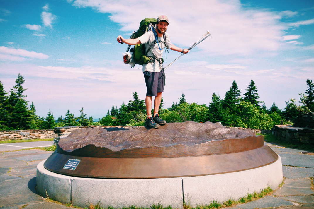
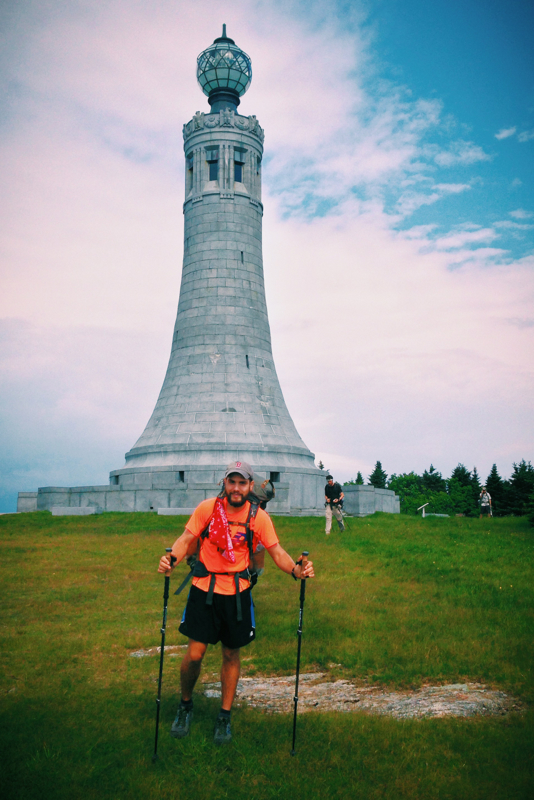
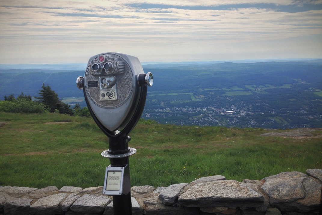
The last mile of climbing was typical of New England, with rocky surfaces jutting out from the ground and pine tree roots protruding and grabbing at anything they can hold on to. As I got closer to the summit the wind picked up exponentially, leaving me even more motivated to push on to the top. To give some background story on the importance of Greylock in my life, my maternal grandmother lived nearby in the town of Williamstown for my entire life. She was a huge proponent of wind power as an energy source, and as such I always think of her when I see them. In 2007 during my cross country cycling ride, she got very ill and passed away mid-July. A mountain that has always been visible from her home, it was a tad bit emotional for me to have the wind pick up near the end of my climb, exit the woods and see panoramic views of the Berkshires, with ridgelines in every direction speckled with windmills. Luckily at this point I was there alone, so I took a few minutes to myself and had a quick conversation with said grandmother. She'd have been thrilled to know I was hiking the Trail that ran right through her figurative backyard. I sat in the wind, having put my North Face jacket on, for quite a while before the rest of the group arrived. We hung out listening to music, talking, and kicking around a soccer ball, taking refuge from the wind and soaking up the brilliant sunlight before continuing on and beginning the descent down into Adams, MA.
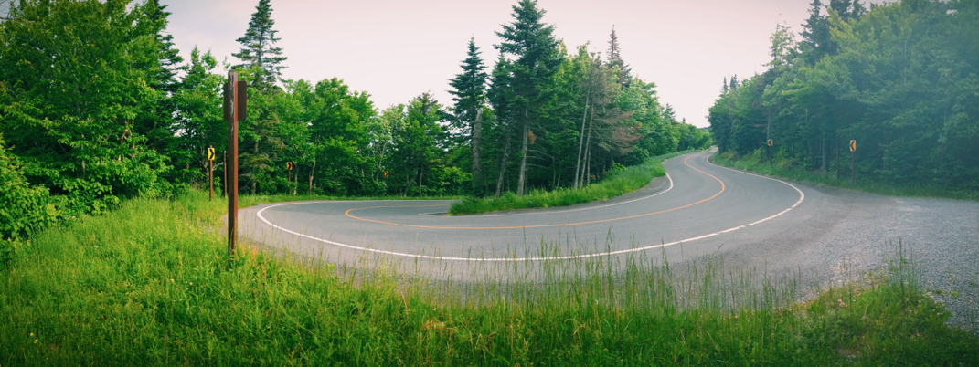
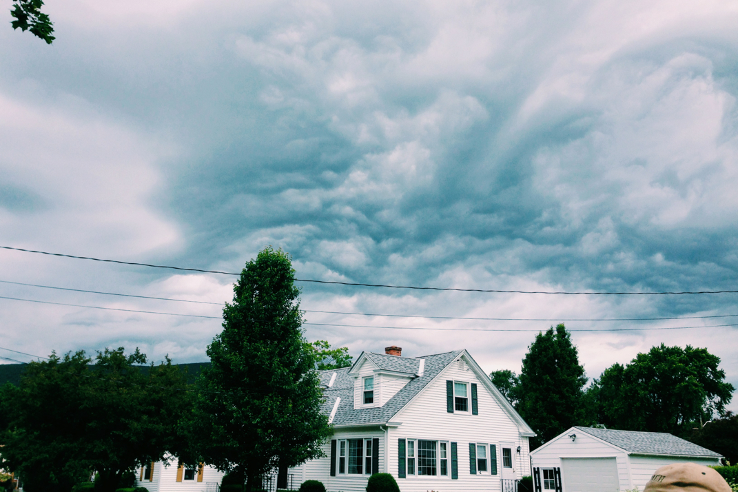
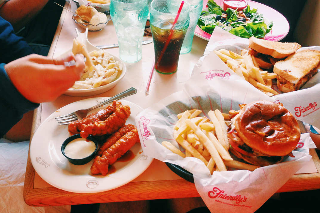
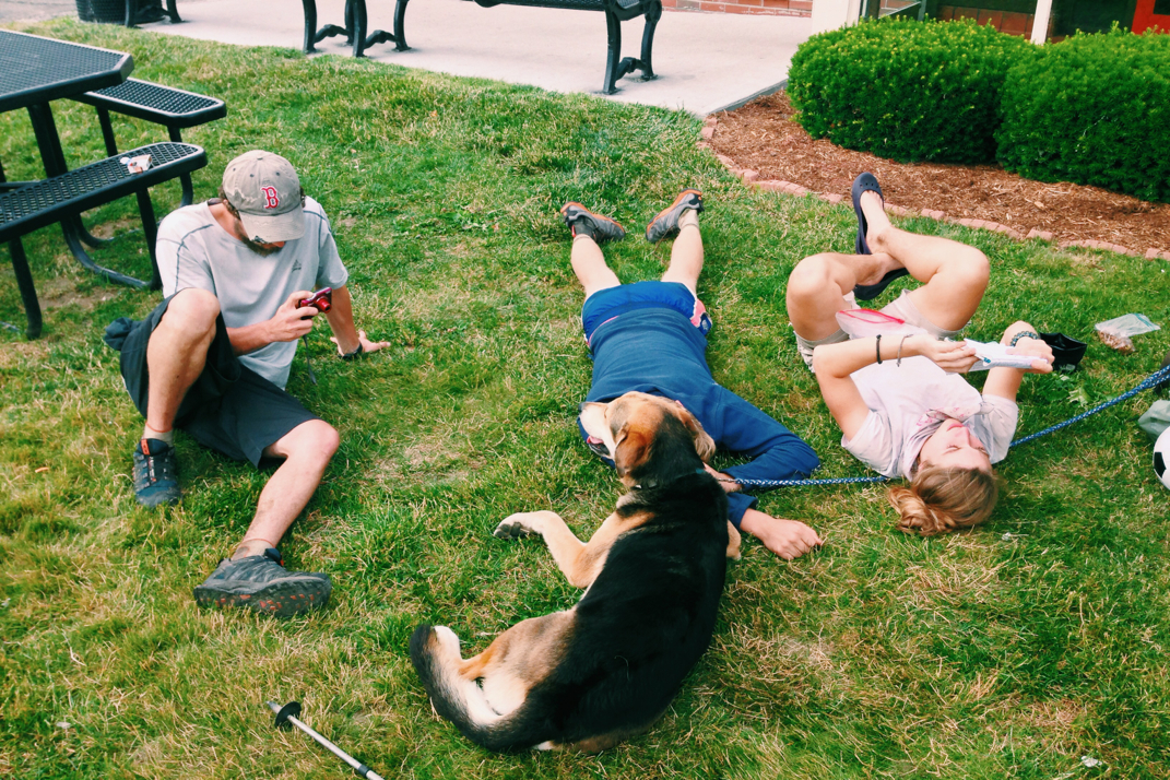
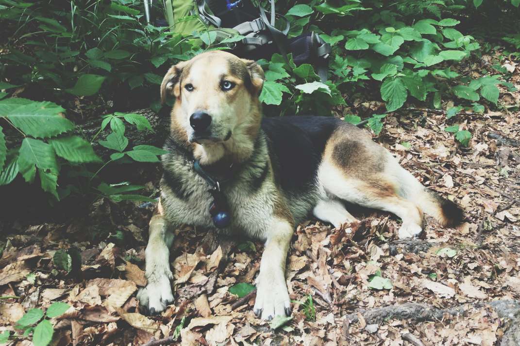
Climbing down Greylock was a 6 mile hike, at some points very steep and slippery. Legs ended up on her butt more than once trying to navigate pine needle covered rocks down severe inclines. Around noon we reached the bottom of the mountain, having sung our way down with a chorus of songs from Grease, Beauty & the Beast, and Frozen. We crossed out of the woods and after a mile of back roads ended up at the intersection of Massachusetts Rt. 2 that runs horizontally across the state. This was also a road I cycled on during my cross country trip 7 years ago. Stormy clouds looming over the valley, the plan was to hike a quick mile off the trail to find a Friendly's restaurant for lunch. Much alike a Perkins or Denny's mixed with an ice cream shoppe, it's a small New England chain that I grew up enjoying and still have fun occasionally eating at. Myself, Blue, Rocket, Legs, and Santa, of course followed by the four-legged Naila, made our way to the restaurant and got a booth. We ordered quite a bit of food, and would spend nearly two hours sitting around the table laughing and joking, being stared at by other customers as we went along. I think our wardrobe, general appearances, and arriving with large backpacks that were nearly lined up on a bench outside were the catalysts behind the staring, but we had fun regardless and didn't think twice of it. I personally ordered a croc of clam chowder, boneless buffalo wings, a bacon cheeseburger, and an ice cream... I've got to get protein in somewhere! Lunch was delicious, and after splitting the bill up for everyone in the group, we went outside and laid down on their grassy front lawn. Afraid of falling asleep, and knowing full well that we had nearly 2,500 more feet of elevation gain before reaching the shelter we were aiming for, I got up and put my pack on, ready to begin the walk back to the trail. Luckily Legs was able to get a hitch for us, and we were quickly delivered back to the trail by a local guy.
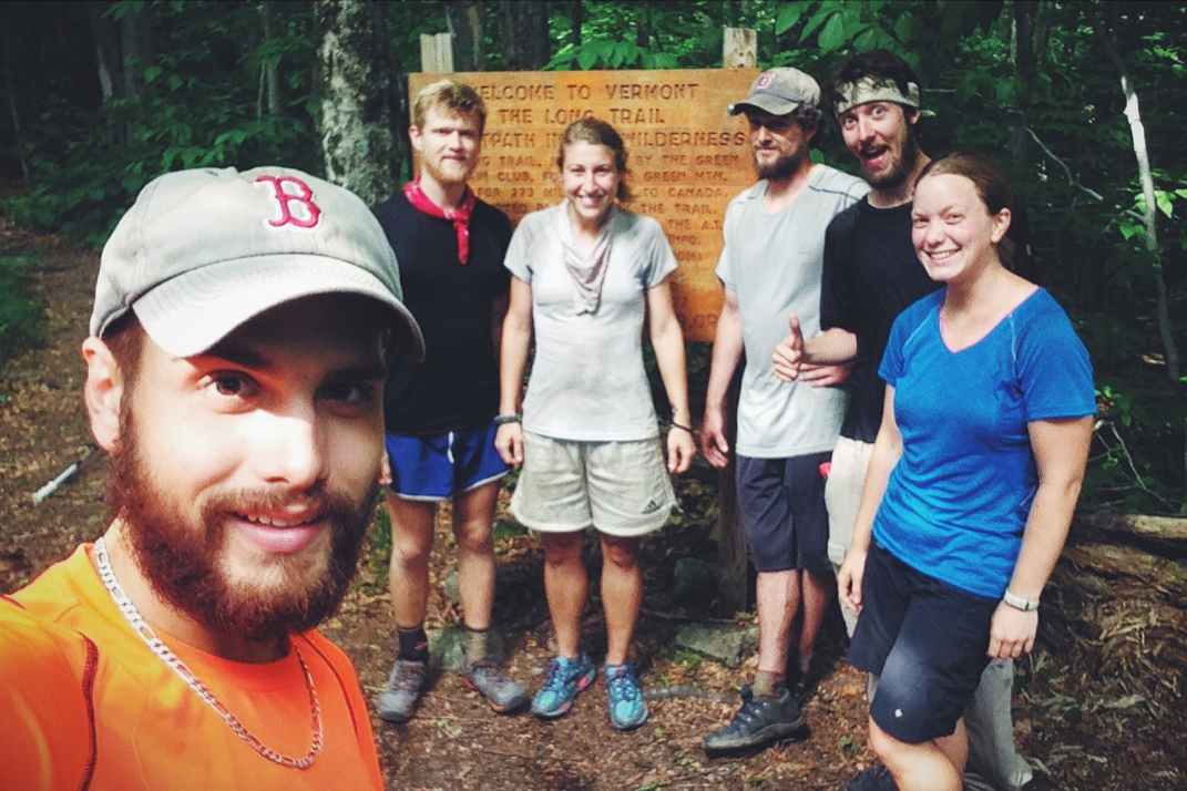
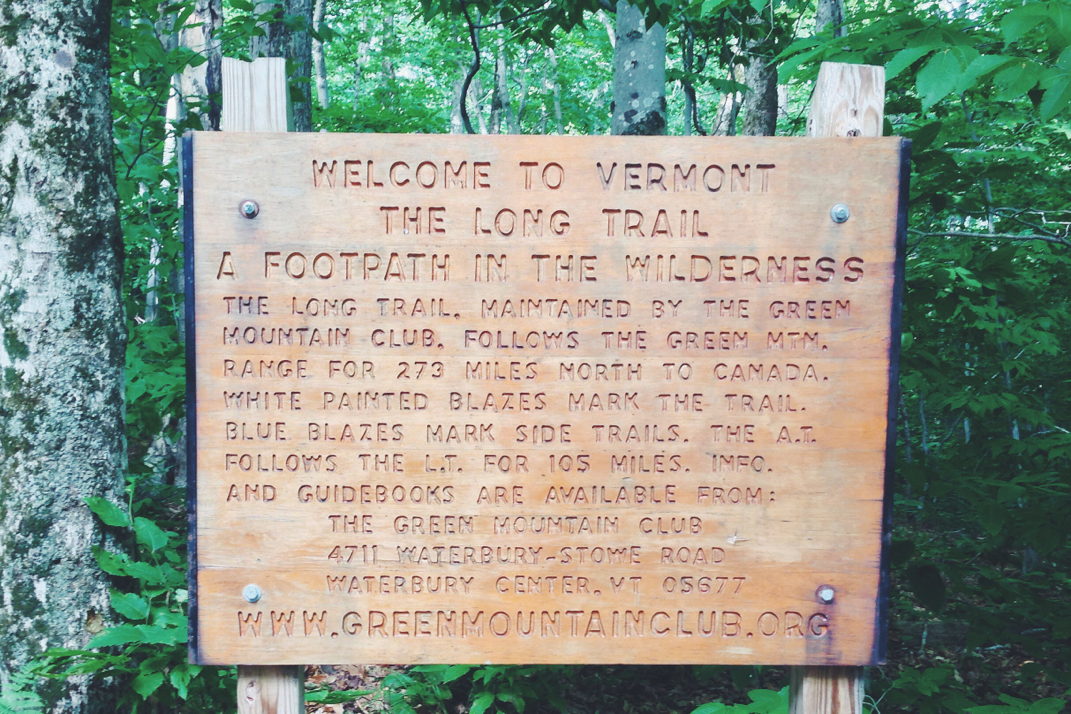
The terrain from town literally just went up. Crossing over a set of railroad tracks and walking through a home's back yard where the Appalachian Trail has an easement of sorts up the driveway, we disappeared again into the forest. The first climb was 1,400 feet in elevation gain, done at a relatively slow speed. Rocket, despite being an exceptionally strong hiker, believes she's slower than the rest, so we put her in front to set the pace for the group to be one she was comfortable with. Eventually reaching the top of the first climb and crossing over a rock garden, the trail leveled off for a few miles before beginning to climb again. During the stretch of more level ground we officially crossed over the MA/VT state line, having completed the 11th state of the Appalachian Trail and entering into the 12th. What a feeling that is, and what a long way I've walked. We snapped some photos before carrying on, debating out loud between hiking 3 miles further to the next shelter or 10 miles further (with another 1,800 someodd feet in elevation gain) before deciding to stick to the original plan and go the longer distance. Our caravan moved on at a good pace, conversing about everything under the sun. We came up with a rotational game where one of us picked a conversation subject and each person had to tell a story that fell under the genre. We talked about previous relationships, work, and medical issues/broken bones as we went along. The beauty of hiking in a group like this with conversation is that you find yourself distracted from the large climbs. Before you know it you're at the summit of whatever peak was necessary to trudge over, and you're descending again. It was at some point in here that we hiked over the 1,600 mile mark on the northbound hike of the Appalachian Trail. Time passed quickly by, and around 2000hrs we stopped for a break with a mere 2 miles left to go. Legs and I kept our break short and hiked on, as Naila had hiked faster than the group and was likely at the shelter already, having followed the scent of another hiker that has been in the same large group of people we've been with for the past week. Conversing about life, family, and 'the real world', the remaining mileage flew by. Despite the sun setting and the darkness in the woods due to tree cover, I followed her steps and didn't bother stopping to put my headlamp on. We pulled into the Congdon shelter at shortly before 2100hrs, finding the shelter half full with section hikers who had been fast asleep for nearly 2 hours. Bear Bait, a guy who has hiked in and out of our group for a while, was also here with a fire blazing and Naila napping next to him. We quietly figured out sleeping arrangements, everyone wanting to be in the shelter due to the threat of rain. I skipped on dinner due to a full stomach left over from lunch, but sat around and talked with everyone as we each unpacked for the night.
In what's becoming a bit of a comedic habit, everyone retired to their sleeping bags, each then pulling out headlamps and reading their respective books. I didn't get more than 10 pages further into mine before deciding I was tired and ready to sleep. Tomorrow we'll hike into Bennington, VT so that a few can get some resupply food, then hike on out of town, likely ending up with a 19 or so mile day.
The 1,600th mile and the 12th state up the eastern seaboard on my 82nd day. Not bad for a long walk in the forest.
Onward, upward, etc.
Texaco




 RSS Feed
