Day: 68
Day mileage: 25.2
AT total mileage: 1,346.4
Time: 8.5 hours
--
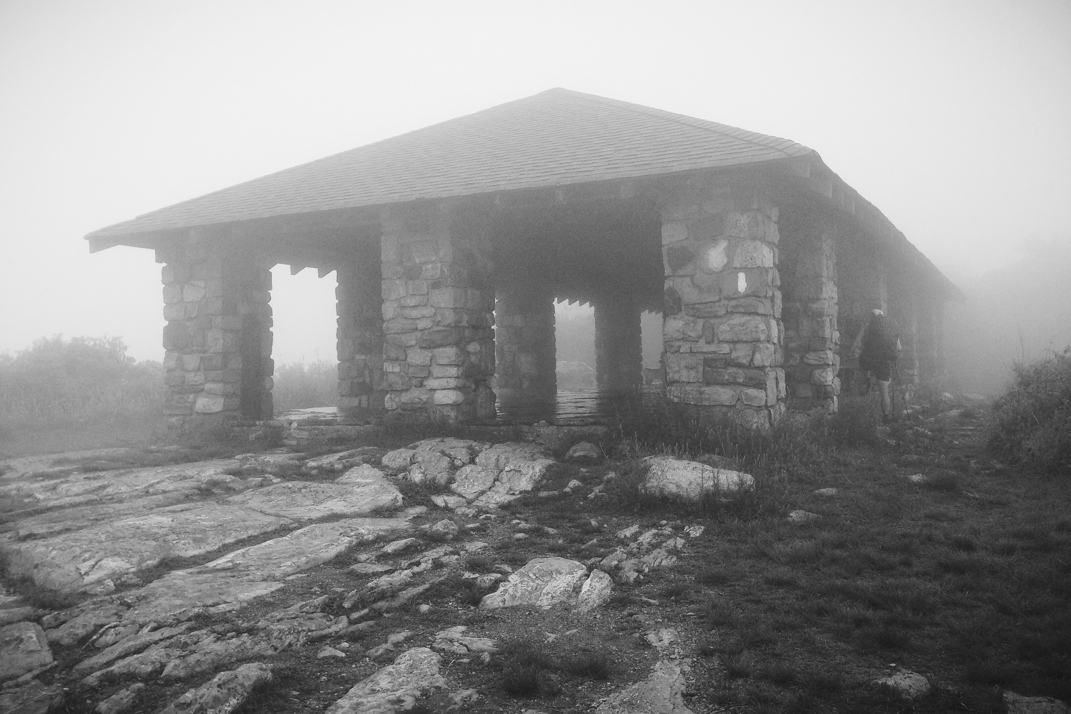
The rain sounded endless last night as the half-full shelter of hikers huddled under sleeping bags to stay dry and warm. Waking up this morning I again had little interest in actually getting out of my warm cocoon, but the time came and I began packing up. I spoke for a while with Flossy & Grey Squirrel, a newly retired couple out hiking the Appalachian Trail. We discussed other adventures, and they too cycled a norther route across the country many years ago. We were even able to comment on exact roads (Idaho's Route 12 over Lola Pass), towns (Missoula, MT, Lewiston & Clarkston, ID), and cycling through Ontario. It's amazing that in such a vast country we shared those exact details of our previous trips. They're considering cycling across again, and I informed them of my research into a third adventure to follow up this one. Eating a few things and packing up my gear, Pneumo and I hit the trail just before 7. With a gentle climb out of the shelter over the course of a few miles, we came upon the top of Sunrise Mountain, capped with a large stone pavilion. Had the sky not been heavily foggy, I'm sure there would have been a stunning view. Alas, we spent another whole day in the rain and fog, and not one scenic vista provided us with a real view.
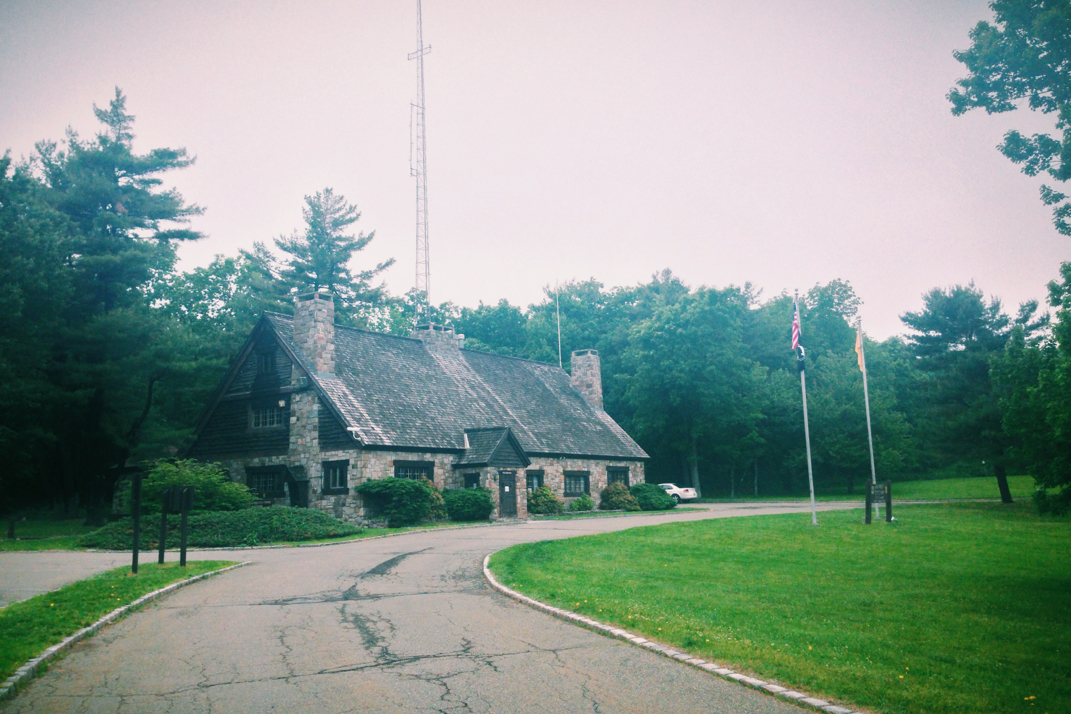
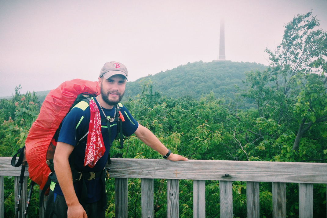
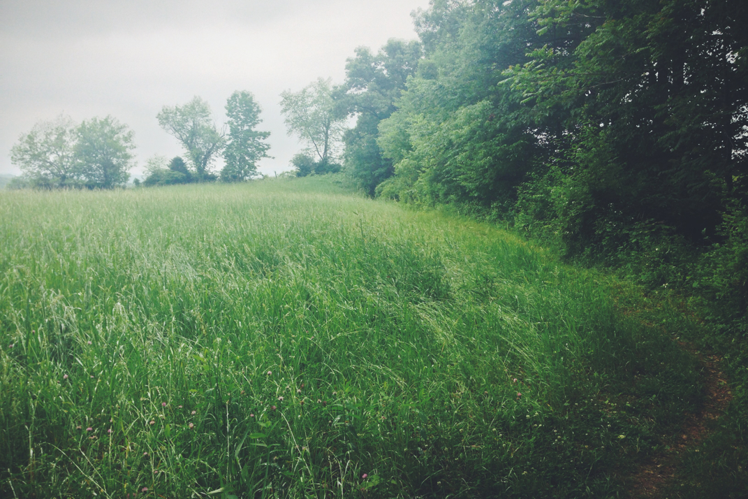
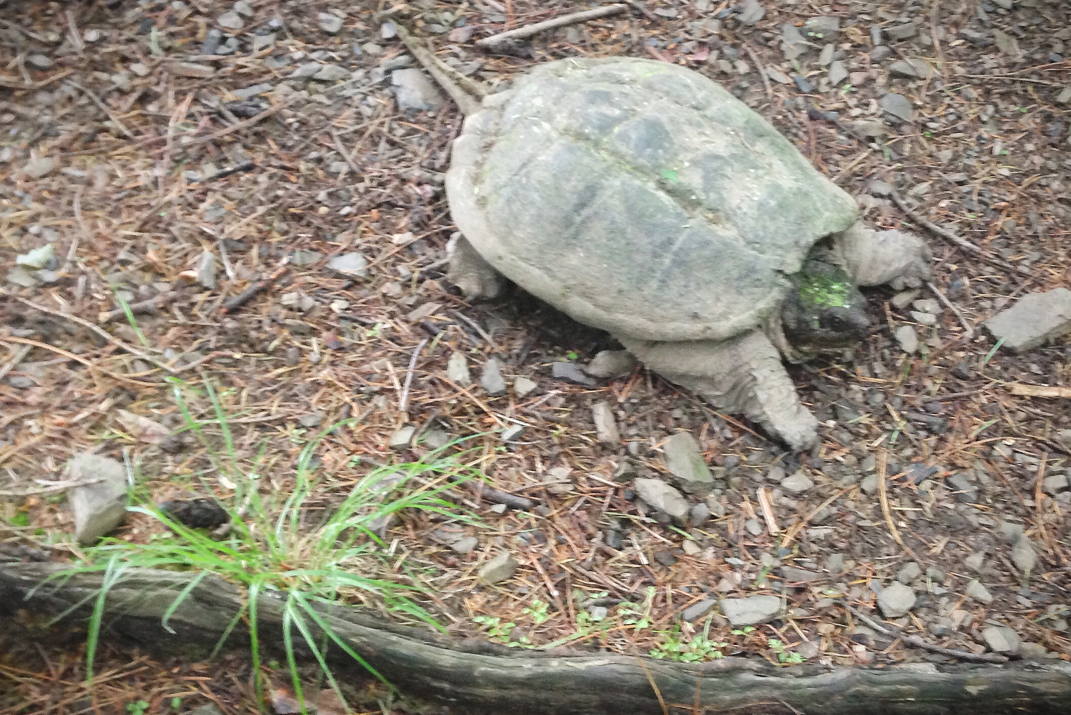
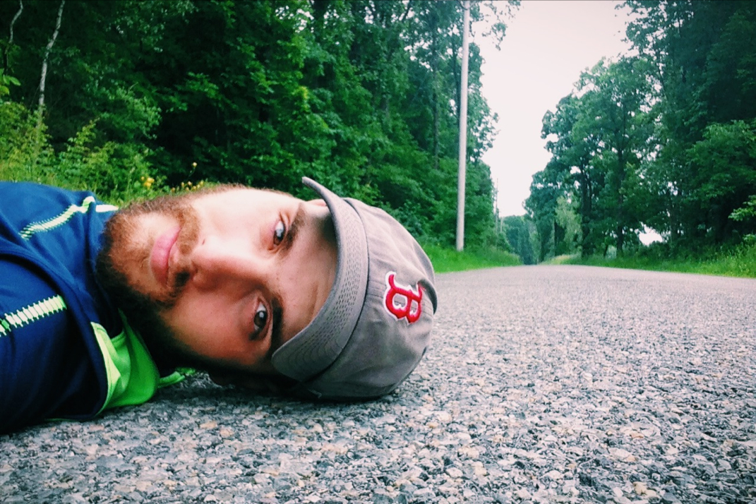
From the top of Sunrise Mountain the trail bounced back and forth between a few hundred feet of elevation, and a handful of miles down the trail we came across the Mashipacong shelter. Settled to the side of a small field, Flossy and Squirrel were already there and conversing with Grasshopper, one of three Appalachian Trail trail runners in New Jersey. He and I spoke for quite a while about the trail before Pneumo and I headed on. Our next stop would be the High Point State Park visitors center, where Grasshopper had informed us we could be the recipients of a trail magic Pepsi. Within an hour we had reached the visitors center, a large stone building with vaulted beam cathedral ceilings. Acquiring my cold Pepsi (only after double checking to make sure they didn't have Coke), Pneumo and I set up shop to eat lunch inside. We spent just shy of an hour there conversing with other hikers and enjoying some food. The next miles included the High Point Monument, after which the park is named. Built atop the highest elevation point in all of New Jersey (a somewhat minuscule-in-comparison 1,803 feet), a 200' stone obelisk stands as a war memorial. From a wooden observation deck we saw parts of the tower in the thick fog, but both agreed it wasn't worth the half mile side trail trip to climb the monument. From the top of High Point we began an 8 mile downhill on the trail, crossing through pastures, dense forests, and many old gravel farm roads. At one point we stopped for a drink on a roadside and ended up staying for a half hour. The extreme lack of vehicles led me to lay on the side of the road and relax for a bit, as you'll see in a photo below. We carried on, and grew somewhat fed up with the climbs that the trail would make, even if only a few hundred feet in elevation, after dropping down the same amount. At one point while powering up a climb, I quickly came to the realization that the rock I was about to step on had a head and legs, and was in fact a snapping turtle present in the middle of the trail. I nearly had a heart attack, and Pneumo laughed hysterically as I jumped sideways to avoid stepping on the turtle's shell.
Crossing over a half dozen more cow pastures, we eventually exited the woods and walked a half mile along State Line Road, literally dancing between New York and New Jersey. It won't be until tomorrow that we officially cross the state line. From there we veered right and made an annoying traipse around the Wallkill National Wildlife Refuge, a two mile walk that led us right back to the road we had been on before. After being chased by a thousand mosquitoes during the walk around the Refuge, we got water from the spigot of an abandoned house, and climbed an exceptionally steep half mile up to the Pochuck Mountain shelter where we would spend the night.
Meeting K2 and Tater at the shelter, two recently retired women who have been section hiking for five years now, Pneumo and I made dinner while conversing with them. I was in my sleeping bag by 2015hrs, fighting off the still-present mosquitoes, annoying enough that Pneumo eventually abandoned the shelter and set up his tent. Tomorrow will be a 23 or so mile day to a shelter, and we'll officially be in New York. The weather still calls for rain and heavy fog, but my fingers are crossed that the precipitation at least stays away.
Onward and upward with the rise of the sun.
Texaco



 RSS Feed
