
Day #2Mileage: 11.5
Long Trail Mileage: 14.3
Time: 8.25 hours
Day / Night Temp: 28 / 15 F
--
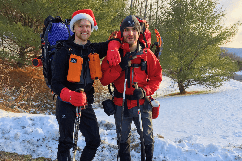
As if welcoming us back to living in the woods, Mother Nature dropped temperatures a few degrees below zero on our first night, leaving us to wake to low single digits. We had planned for a 0600 alarm and 0700 departure, but the temperatures and new acquaintance to our gear pack and routine didn't allow us to get on the trail until more than an hour and a half after our intended time.
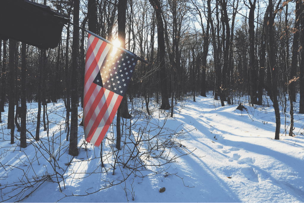
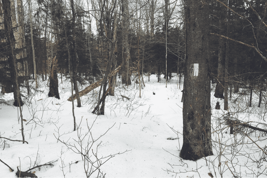
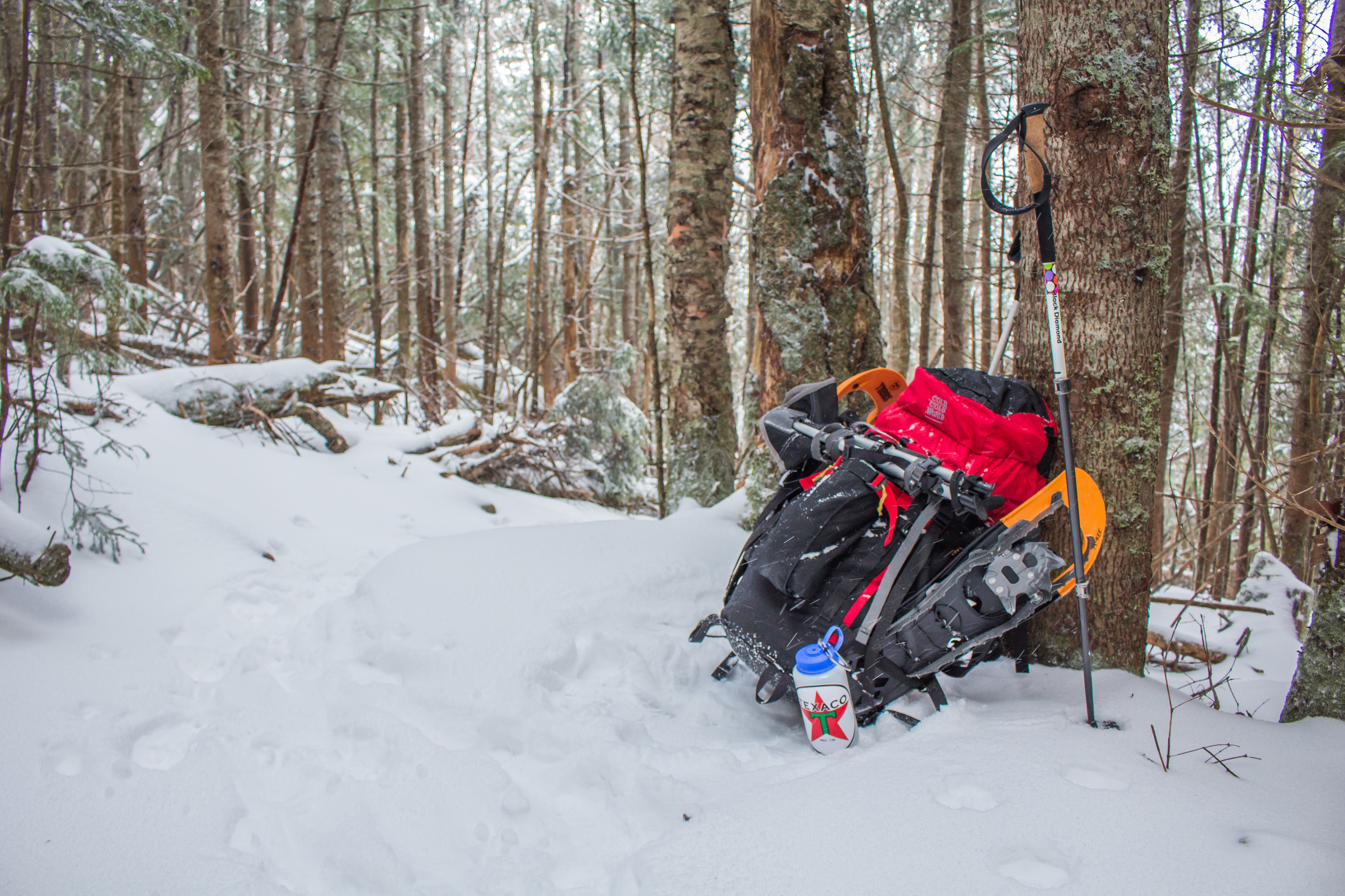
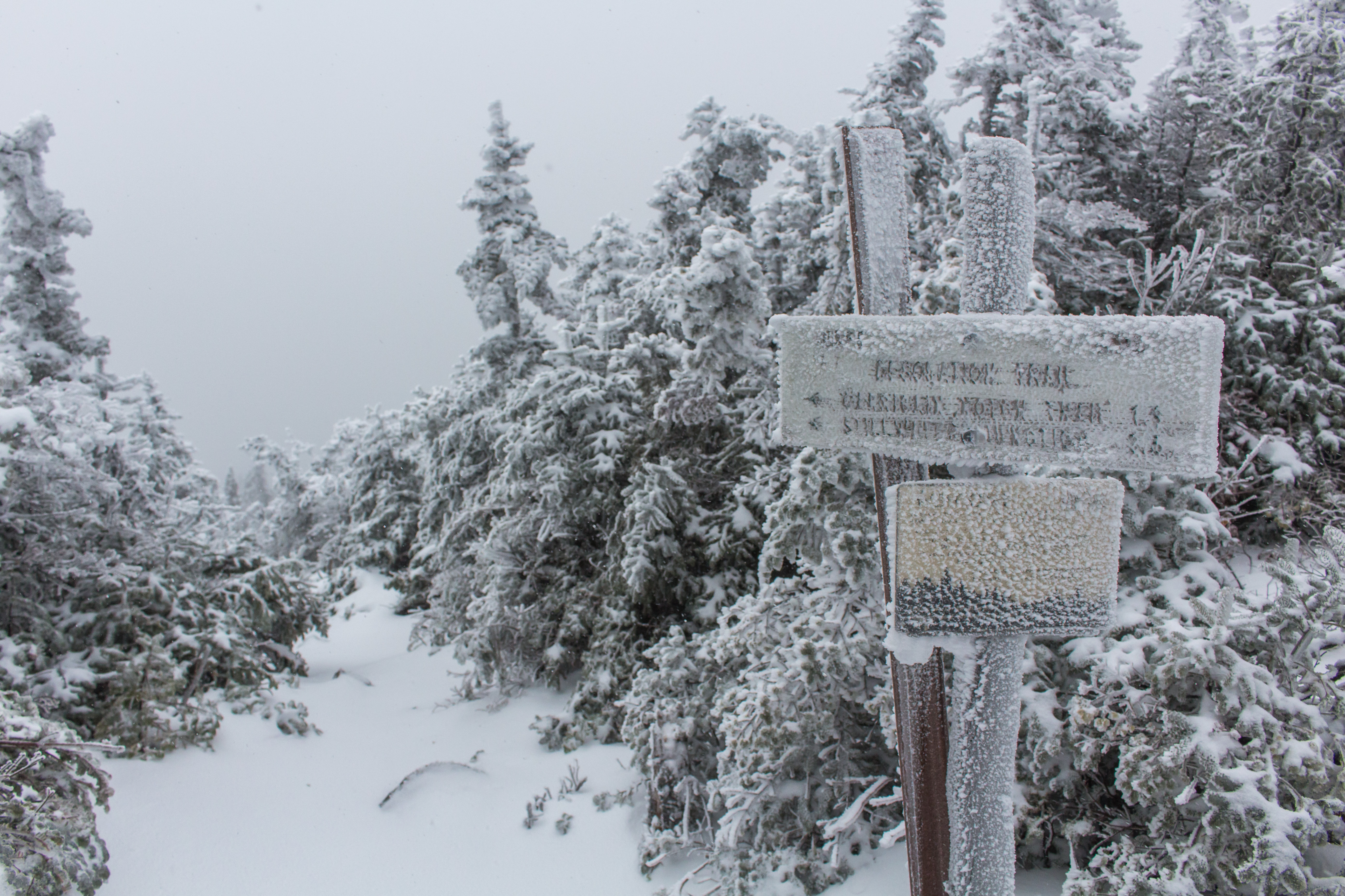
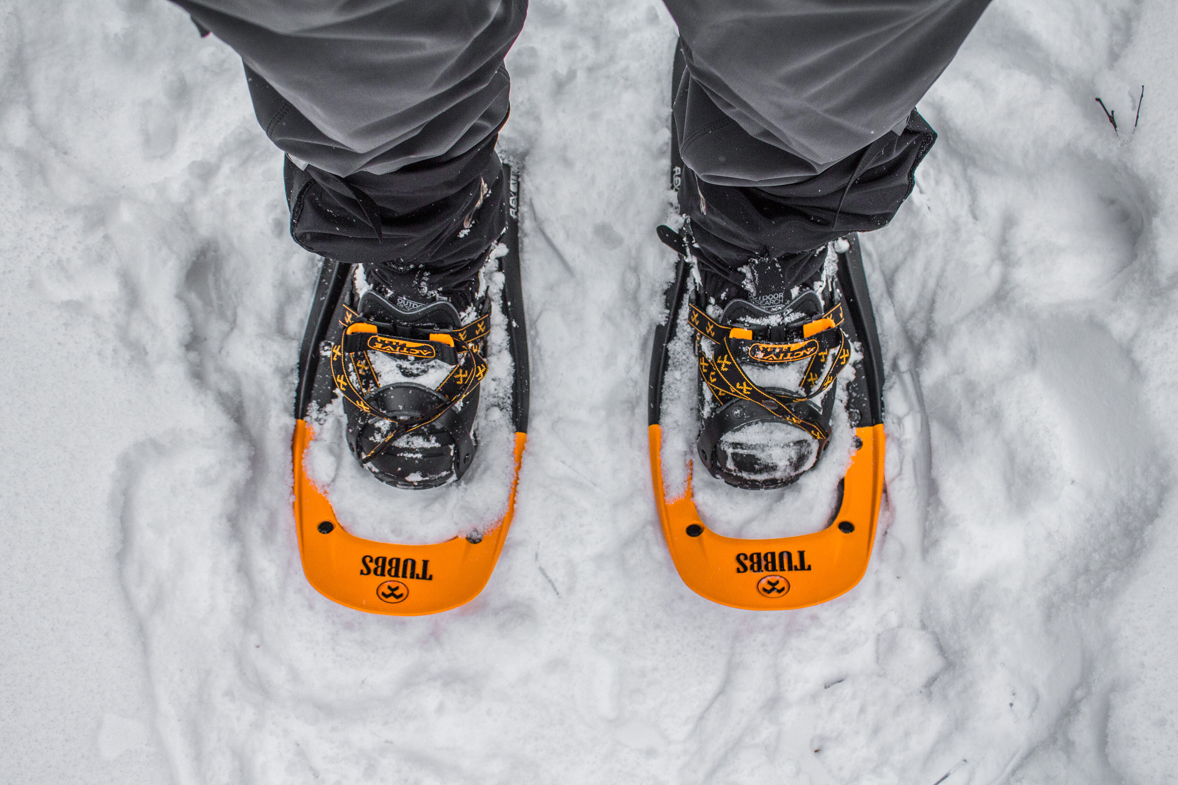
From Seth Warner shelter we had a gradual 1,000' climb up to an unnamed little peak, hiking through more of the ice covered snow with upwards of a foot of powder underneath. I had suggested snowshoes for today, and they proved very handy. By dispersing our weight over a mech larger area we are able to 'sink' less into the snow, and therefore exert less energy moving forward. The savings of sinking less are somewhat negated by the thought that goes into each step as we negotiate rocks and fallen trees with our wide footprints. As temperatures rose with the sunshine and clear blue skies we moved at a disappointingly slow pace towards our destination for the day. It was at some point in the first half of our day that Santa proclaimed he felt as if we were 'actively going nowhere', bothered with the speed at which we were traveling.
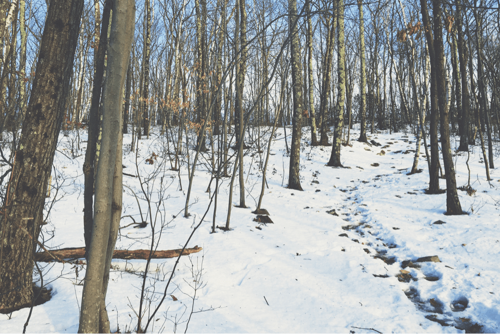
We ate lunch on a wide section of trail around noon, eating nearly frozen peanut butter and Nutella on equally cold tortilla wraps. It was during this brief break that my GPS alerted me to the fact that we were some 500' off the trail, and would need to correct that error before carrying on. Doubling back after our break brought us to the point where our snowshoes turned off trail, and after a minute of searching for the familiar white blaze I eventually found one uphill from us. A large fallen tree had blocked my view and caused us to turn left when we first came across it. We moved on with our snowshoes stored, instead using our Microspikes (aka light traction) on our feet. Comprised of a thick elastic rubber surround with a web of 1/2" stainless steel spikes underneath, light traction does a great job at gripping the ground without being as cumbersome as the snowshoes. Our speed increased slightly at this point, and morale along with it. As we made our way through the woods we found that navigating the trail was more difficult due to less frequent and more poorly painted blazes to mark the way. As I was breaking trail for us my eyes settled on a slight icy pattern in the snow, looking as if a small amount of water had trickled continuously down the trail itself. It shone in the mid day sun with a sheen that was discernible enough that I followed it effortlessly as it wound through the trees. As we hiked in silence I was reminded of the story of Jim Lovell, commander of Apollo 13, who recounted a story of his fighter pilot being low on fuel in the Indian Ocean and not being able to find the aircraft carrier he needed to land on. A small electrical short took out the cockpit lighting, and allowed him to see the phosphorescent glow of the algae turned up by the ship's propellers, leading him straight home.
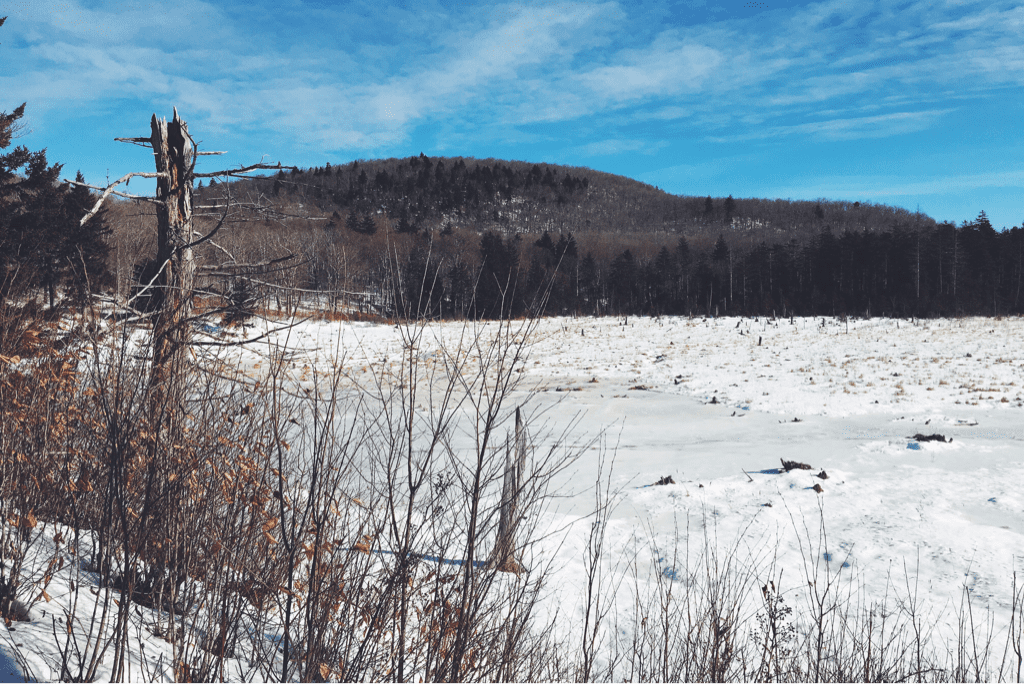
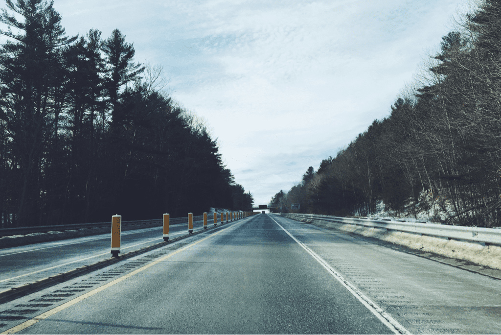
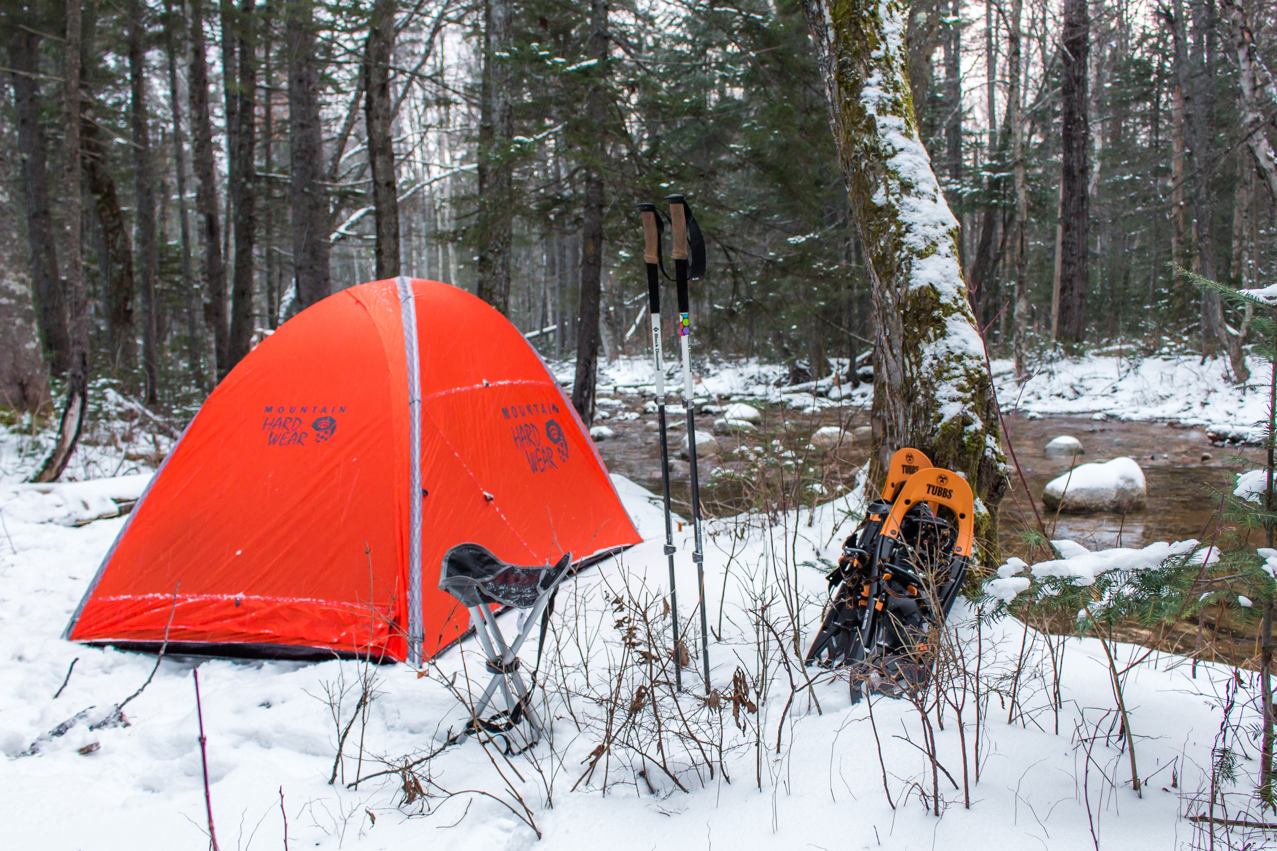
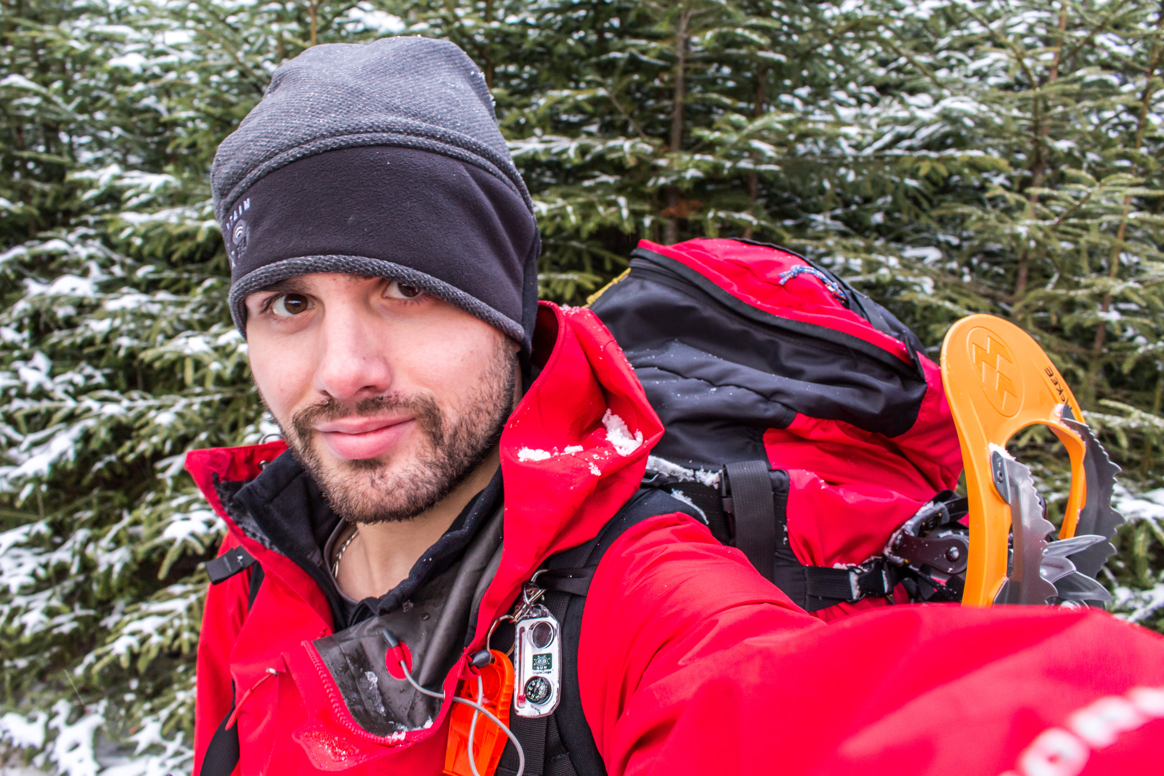
By 1500 we arrived at the Congdong shelter, LT mile 10, where we had intended to eat lunch. We stopped for ten minutes and snacked, and I threw back a swig of whiskey just to humor myself. We climbed up a few hundred feet over the next two miles, effortlessly walking in the tracks of a dirt bike that had torn through the woods/trail illegally. Eventually coming up on the 2,300' peak of Harmon Hill, we began a long 1.7 mile descent to VT Route 9 in the gap below. The sun set at 1615 and left us with a quickly darkening mountainside as we descended the northeast face. Steep and rocky, we swore aloud as we hiked down by the light of my headlamp, eventually emerging on the road and crossing to a trailhead parking lot. Our intentions had been to carry on another 1.5 miles out of the road gap to the next shelter, but we were both exhausted.
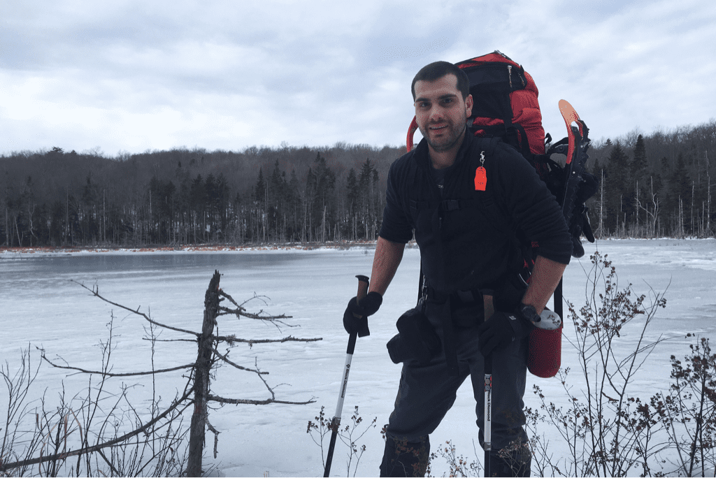
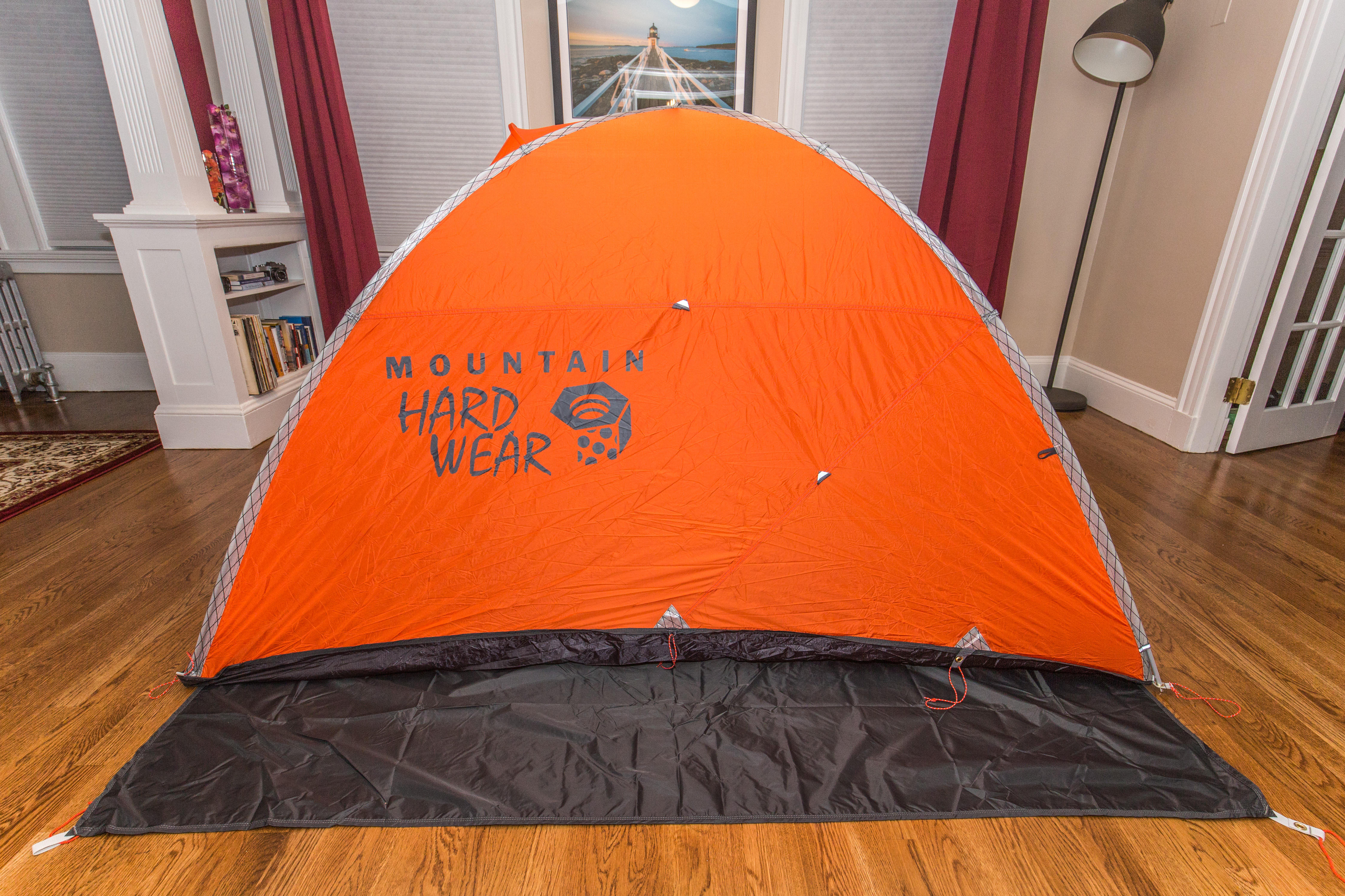
We set up the tent and cooked dinner quickly in the back of the parking lot. I made cheesy pasta and added in buffalo sauced tuna. We're sleeping with the door of the tent open for ventilation, so I'm able to look straight up from my sleeping back at the silhouettes of tall and barren trees with a clear winter sky as the sparkling backdrop.
Until tomorrow.
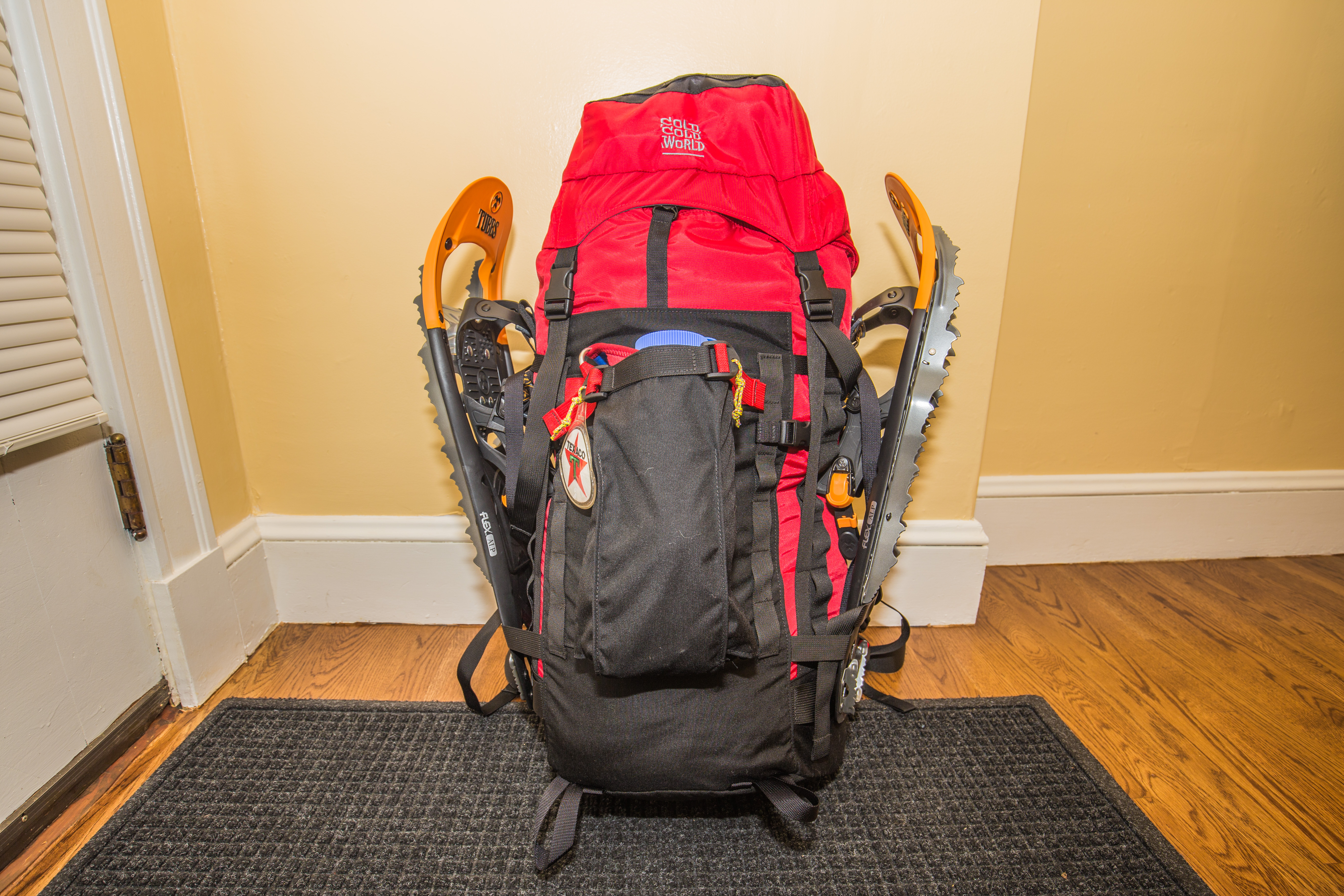
Texaco
Long Trail Mileage: 14.3
Time: 8.25 hours
Day / Night Temp: 28 / 15 F
--
As if welcoming us back to living in the woods, Mother Nature dropped temperatures a few degrees below zero on our first night, leaving us to wake to low single digits. We had planned for a 0600 alarm and 0700 departure, but the temperatures and new acquaintance to our gear pack and routine didn't allow us to get on the trail until more than an hour and a half after our intended time.
From Seth Warner shelter we had a gradual 1,000' climb up to an unnamed little peak, hiking through more of the ice covered snow with upwards of a foot of powder underneath. I had suggested snowshoes for today, and they proved very handy. By dispersing our weight over a mech larger area we are able to 'sink' less into the snow, and therefore exert less energy moving forward. The savings of sinking less are somewhat negated by the thought that goes into each step as we negotiate rocks and fallen trees with our wide footprints. As temperatures rose with the sunshine and clear blue skies we moved at a disappointingly slow pace towards our destination for the day. It was at some point in the first half of our day that Santa proclaimed he felt as if we were 'actively going nowhere', bothered with the speed at which we were traveling.
We ate lunch on a wide section of trail around noon, eating nearly frozen peanut butter and Nutella on equally cold tortilla wraps. It was during this brief break that my GPS alerted me to the fact that we were some 500' off the trail, and would need to correct that error before carrying on. Doubling back after our break brought us to the point where our snowshoes turned off trail, and after a minute of searching for the familiar white blaze I eventually found one uphill from us. A large fallen tree had blocked my view and caused us to turn left when we first came across it. We moved on with our snowshoes stored, instead using our Microspikes (aka light traction) on our feet. Comprised of a thick elastic rubber surround with a web of 1/2" stainless steel spikes underneath, light traction does a great job at gripping the ground without being as cumbersome as the snowshoes. Our speed increased slightly at this point, and morale along with it. As we made our way through the woods we found that navigating the trail was more difficult due to less frequent and more poorly painted blazes to mark the way. As I was breaking trail for us my eyes settled on a slight icy pattern in the snow, looking as if a small amount of water had trickled continuously down the trail itself. It shone in the mid day sun with a sheen that was discernible enough that I followed it effortlessly as it wound through the trees. As we hiked in silence I was reminded of the story of Jim Lovell, commander of Apollo 13, who recounted a story of his fighter pilot being low on fuel in the Indian Ocean and not being able to find the aircraft carrier he needed to land on. A small electrical short took out the cockpit lighting, and allowed him to see the phosphorescent glow of the algae turned up by the ship's propellers, leading him straight home.
By 1500 we arrived at the Congdong shelter, LT mile 10, where we had intended to eat lunch. We stopped for ten minutes and snacked, and I threw back a swig of whiskey just to humor myself. We climbed up a few hundred feet over the next two miles, effortlessly walking in the tracks of a dirt bike that had torn through the woods/trail illegally. Eventually coming up on the 2,300' peak of Harmon Hill, we began a long 1.7 mile descent to VT Route 9 in the gap below. The sun set at 1615 and left us with a quickly darkening mountainside as we descended the northeast face. Steep and rocky, we swore aloud as we hiked down by the light of my headlamp, eventually emerging on the road and crossing to a trailhead parking lot. Our intentions had been to carry on another 1.5 miles out of the road gap to the next shelter, but we were both exhausted.
We set up the tent and cooked dinner quickly in the back of the parking lot. I made cheesy pasta and added in buffalo sauced tuna. We're sleeping with the door of the tent open for ventilation, so I'm able to look straight up from my sleeping back at the silhouettes of tall and barren trees with a clear winter sky as the sparkling backdrop.
Until tomorrow.
Texaco


 RSS Feed
