Day: 56
Day mileage: 62
AT total mileage: 1,079.0
Time: 20.5 hours (walking) / 23 hours (total time)
--
I'll warn you: this may be the longest blog post in the brief history of 2180 Miles. Possibly also the longest typed work of literature ever done solely on an iPhone touch screen.
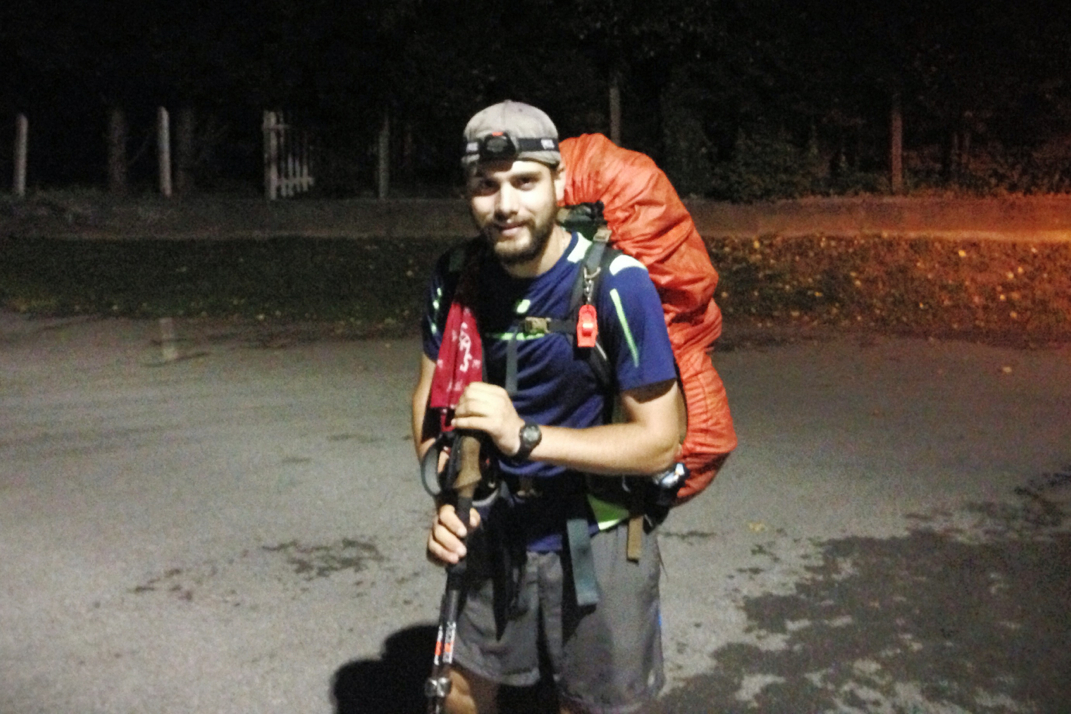
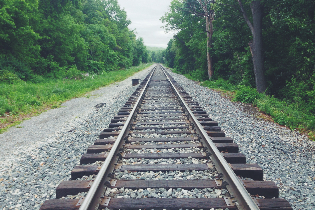
After a very quick four hours of trying to sleep in the humidity behind Mena's Pizza. My headphones did a good job at helping me nod off, but the daylight made it a bit challenging in a tent that doesn't block much light. Despite the threat of rain, I left the vestibule unzipped to try and capture every breeze of wind that blew by. The alarm woke me far too quickly, and I was disoriented by the ambient light still present, taking a minute to realize that it was the street lamp over the parking lot. As we began walking there was a strong wind and mist was being blown around the sky. The valley between the mountains was illuminated by what we'd come to discover was an overnight construction crew working on the railroad tracks. We got back on the trail and descended down stairs that were built into the granite rock of the hillside, eventually being dropped out onto the brick streets of historic Harper's Ferry. Truthfully, this looks like a gorgeous town. I wish photographs would have done the old buildings justice, but the weather and darkness didn't cooperate. Following the trail down by the Potomac River, we crossed a bridge alongside the railroad, fighting a fierce wind and rain mix that was coming off the riverbed below. Blinding construction lights made it challenging to see for a while, but eventually our irises adjusted to the darkness and we turned on our headlamps as we began hiking the 3 miles of trail that follow along the C&O Canal rail trail. The level terrain was a phenomenal way to warm up my leg muscles for what was to be a long day of walking. We were passed by no less than 4 separate trains as we walked that rail trail, full length rigs comprised of 50-70 cars audibly moving by in the night. The trail eventually split left, crossing over the same tracks we'd walked alongside, and then dipped into the woods where it began a 1,000' climb up into the mountains from the riverbed. As we got a few hundred feet up a thick fog became present, and navigating the trail became difficult. Akin to hi-beams in a snow storm, the LED headlamp lit up all the fog in front of me and made it hard to find blazes on the trees ahead. It wasn't until 3:20 AM that we came across the Ed Garvey shelter. Agreeing to stop quickly, eat, and sign the log book, we made a break off the trail. Switching my headlamp to its red LED so as to not wake hikers, I hoped the shelter was as empty as the past days had been. Despite my wishes and relatively good credit with cosmic karma, not only was the shelter full but there was also a very angry shephard / malamute type dog who began growling when I approached the picnic table to sign the log book. Its owner silenced it, and I quickly signed the book detailing my trek for the day, and writing an apology for rousing the dog. From there the hiking was simply dark, wet, forest traversing, and quick paced. I'm a faster hiker than Pneumo (who by the way was extremely interested in joining me for this gargantuan hike, and that's why he was insane enough to be awake at midnight to hike) but we stayed together while hiking through the night. At some point during the darkness, unbeknownst to us, we crossed from West Virginia into Maryland.
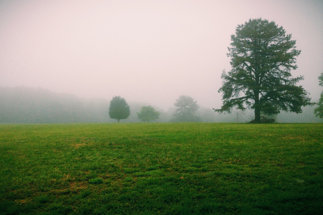
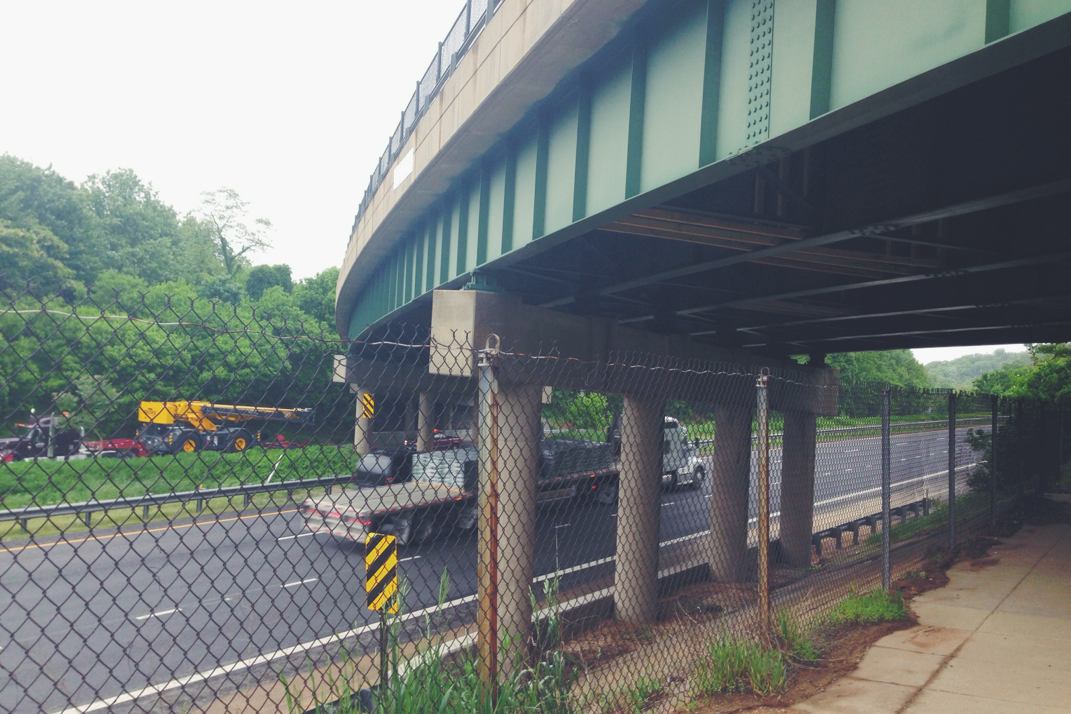
The plan we had talked about going into this day included stopping every two hours to eat. His parents had donned us with trail magic to prepare, including McDonald's double cheeseburgers (think calories and ease of consumption, hike and eat at the same time) and bagels pre-spread with peanut butter. Stopping at 4 AM, we ate and hiked on through the beginning dawn and into the daylight. The thick fog limited our view of any sunrise, but the light was welcome as walking by headlamp isn't the most ideal situation. Once the sun was up, Pneumo gave me the go-ahead on hiking at my faster rate. I really hesitated to separate, but in the end this was my journey and I was only going to accomplish it by going at my own pace. I hiked on into the daylight, coming across the first area of the Civil War Trails, crossing over battlefields and passing by historical society signs detailing battles that occurred in each area. It was rather chilling to pass through these fog covered fields and think about the lives that had been lost there. It was by Fox's Gap that I encountered some early morning trail magic, cold apples and crackers left for thru-hikers by a local day hiker. Continuing on, I passed by tents set by hikers still getting their good night's sleep. I crossed a main road and climbed up into the Washington Monument National Park, dedicated a century ago by locals to our first President. Walking up an easy pedestrian path, I came across posted signs with notable details of Washington's life, and at the summit was a stone tower built in his honor. There was, as expected, no view. I was able to make some early morning phone calls as I trekked on, checking in with my folks as each of them headed out into their work days. It's always good to talk with them, and each were near speechless to hear of my mileage plan for the day. The trail walked through a few residential backyards, crossing a large fenced in footbridge over Maryland's I-70 morning commute. How strange it is to stand over cars flying by below me, where my world moves so seemingly slow now. I came across the fourth shelter of my day, stopping to eat quickly before heading back out. This was the Pine Knob shelter, it was 9 AM and I was 23.5 miles into my day. I hit the trail quickly, spending only a few minutes there, climbing out of the low point up to Annapolis Rocks in the mountain above. What's typically a splendid view had no hope due to the fog, so I bypassed the 1/4 mile side trail. Carrying along at my consistent 3 miles an hour, I was slowed a little by the small rocks that became abundant across the trail. I picked another shelter north of there as a lunch point, knowing that it being 9 miles ahead would give me an approximate arrival time of noon.
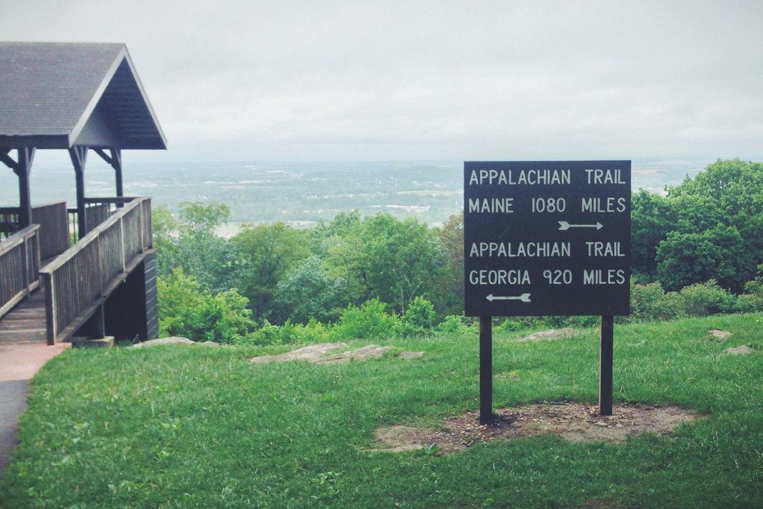
It's quite interesting to be able to judge your arrival time (via walking) at a given location. True to form, after navigating a tricky section of rocks, then meandering across a lush green ridgeline for a few miles the trail dropped down, crossing a dirt road, and delivering me to the Ensign Cowell shelter at 11:55 AM. The 5th shelter I'd passed that day, and one that resided 31.9 miles from where I began hiking, I ate lunch here. At this point the rain was constant and I decided to change my socks for the first time. It was interesting to say to inquiring hikers that I'd already hiked 32 miles as most had only come 8 or 10 so far that day. I lingered at this shelter too long, spending almost 30 minutes. As my undertaking would occupy an unknown amount of total time, I was afraid to waste even a minute too long at any given place. I pressed on and climbed up into the next small mountain ridge, crossing through manicured farm fields, and back into the woods as the rain picked up even more. Despite owning a high-end Marmot rain jacket, I rarely wear it. I overheat too easily and often shed it shortly after putting it on, so it usually stays off and I just enjoy the free shower that rain provides. This is undoubtedly easier in the warmth of May than it was in the cold winter weather experienced in the Smoky Mountains. There were two climbs between the shelter at lunch and the next one I was aiming for. In this stretch of hiking I met a guy named Blink, also northbound, who I'd come across a few more times throughout the day. The second of the two climbs was a few hundred feet of rocky and steep terrain, reminding me that I was over 30 miles into my hike with the same distance to go before bed. For those wondering, it's a big mental hurdle to hike knowing that every ten miles is only 1/6 of your total day. At 1415hrs I arrived at the gorgeous, new, post and beam shelter called Raven Rock. I met a southbound section hiker and his puppy, ran into Blink again, signed the log book, and headed out back to the trail. At 1415hrs I was at my 6th shelter of the day, with 37 miles of hiking complete. The last two miles, and every mile further would continually be my 'longest day' on the trail. From Raven Rock the next big point on my very focused mind was PenMar park, the official entry point of Pennsylvania. A few tenths of a mile after that park I would exit Maryland and enter PA, simultaneously crossing the Mason-Dixon Line. Before that would happen, I'd make an extremely tricky and somewhat steep descent of rock fields soaked from the rain and covered in moss. Each step was a measured one, and I eventually breathed a sigh of relief as I stepped onto the flat dirt trail that entered into PenMar park. The place was deserted, likely due to the rain, but I admired the long-outdated Appalachian Trail sign as I filled my water bottle at a drinking fountain.
Hiking on it took only a minute or two, a railroad crossing, and a hundred feet in the woods before crossing the Mason-Dixon, simultaneously crossing Maryland off as the 6th completed state I've hiked on the Appalachian Trail. At this point it was 1600hrs, and I had hiked 41.2 miles. The trail dove down into a quick river gap before making a steep climb of 1,000' or so back up, only to summit a ridge and descend right back to the elevation it started at. Crossing a busy two lane road I scurried off into the woods hoping to get as many miles as possible in before dark. The trail got a little easier at this point with small ups, downs, and a few miles keeping me from the next shelter. At 1800hrs I arrived to a completely deserted Deer Lick shelter, my 7th of the day, with 46.2 miles complete. Signing the guest book and taking a minute to eat in the shelter, protected from the rain that was still falling, Blink arrived for a few minutes of conversation before we both moved on. In what would be a strange occurrence, the next section of 5 miles would be home to 3 separate shelters. I'm really not sure why this was done, as the number of hikers up this far is nowhere near enough to occupy such a large amount of sleeping room. Pressing on to fly through the miles and remaining daylight, I arrived at 1900hrs at Tumbling Run shelters, a pair of newer buildings, a pavilion, and leveled campsites sitting at the bottom of Chimney Rock Mountain. I sat here, signing my 9th shelter trail log of the day, needing words of encouragement from Blink. He was the only hiker I'd seen in 15 miles and I was at the point, after 18 hours of being awake and having hiked for 16 of those hours, that I needed encouragement. I was 49.7 miles in with 10.3 to go before attaining my goal. He repeatedly told me how amazing what I was doing was, and did his best to pump me up for the remaining hours of my hike. The mental roadblock for me at this point was the 1,100' climb over less than a mile that was ahead of me. Normally this wouldn't have been an issue, but I had already hiked fifty miles at that point and I wasn't sure how my legs would handle it. Surprisingly at this point I was in no pain, with the exception of my feet being sore. I said goodbye to Blink who again reminded me of how incredible my undertaking was, and I headed up the mountain. The steep climb flew by, and as the sun set somewhere behind thick clouds, I leveled off and followed the somewhat rocky trail across the ridge of Chimney Rock. Around 2045hrs I stopped and put my headlamp on. Despite the fact that the sky was still glowing with blue-hour (this is a photography term for the time around dusk when skyline photography is most ideal due to the gorgeous blue hues behind skyscrapers without the lens flare from direct sunlight) I still needed the extra light from my lamp due to the thick tree cover. The rain continued coming down, and I continued walking.
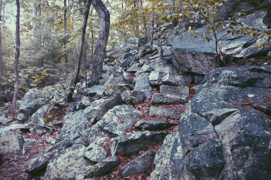
At 2100hrs I spoke with Pneumo on the phone. He at that point was nearly 10 miles behind me, an indication of the pace difference between us throughout the day. He wasn't sure about making the trek over Chimney Rock, and I encouraged him to stop at the last shelter with Blink. In the end he'd hike 50 miles in a day, an incredible accomplishment, but the 60 miles was my goal for my own personal reasons, and there was no need for him to risk his safety trying to hike even later into the night. I think that was all he needed to hear, as he quickly agreed to meet me in the morning wherever I ended up. I got off the phone and trekked on, fully reliant on my headlamp as the sky was now black. It was around 2130 that things got really interesting. The trail wasn't a relatively even dirt path winding through the forest. True to the rumors of Pennsylvania, I found myself face to face with multiple hundred-foot climbs up and over massive boulder fields. Some rocks were the size of basketballs, others the size of Chevy SUVs. Trying to navigate through/around/over them without twisting an ankle or breaking a trekking pole was a task in itself. My speed slowed drastically, and I worried about when I'd make it to my finish line for the day. Despite that concern I did my best to pace myself. It was around 2200hrs that things got difficult, heavy fog moved in as the temperature dropped a bit, and I was again faced with the problem of the headlamp poorly illuminating the area in front of me. Add in climbing over mossy and wet rocks while constantly searching for a 2" x 6" white blaze on any of a thousand trees within 'eyesight' and it was quite the challenging scenario. The hardest part of my day came shortly after the heavy fog, on a steep ascent of Suburban sized boulders. From a stationary position searching for a blaze to orient my forward direction, I noticed it was steeper and further to the right than I expected. I began changing my direction and as I stepped between boulders, the rain still coming down, my downhill trekking pole slipped on the rocks causing my ankle to twist, and in a mess of an event I fell. With the entire weight of my body and pack coming down harshly on the wet and hard rock, I somehow hit my head, smashing my LED headlamp apart and leaving me collapsed on a boulder in the pitch black, rained on, and alone. This was a moment to pause and reflect on my journey thus far into the Appalachian Trail. I didn't see stars, nor did I feel much pain. I'm not sure how hard the impact was to my head, but I've yet to figure out a scenario in which the headlamp would have broken in half without some kind of blunt impact. Regardless, I gathered myself and reached for my iPhone which thankfully with 9% battery life remaining, was able to provide a flashlight as I crawled, hands and knees, off the rock. It took only a minute to find the other half of my split headlamp, which I was able to reattach to the headband. I also found 2 of the 3 AAA batteries required to operate it, and managed to find a third in my backpack. Surprisingly, it worked, and I was back in business, hiking with new pains in my ankle and lower back, but hiking nonetheless. I took the trail even slower for the rest of the night, descending the mountain after a few more ups and downs. Crossing a few power line trails and eventually Pennsylvania's US30 highway, I found myself 60 miles from where I began. It was 2330hrs at that point, and I had spent 20 hours and 32 minutes walking. The 2.5 hour difference was made up by breaks at shelters throughout the day. I was physically exhausted, but managed to get my tent quickly set up before calling my mother at work to let her know I was alive, and falling fast asleep.
Hiking 60 miles in one day is an unbelievable accomplishment. I'm not gloating, I'm merely observing the mammoth undertaking. The path was not flat, not all dirt, and not subject to fair weather... neither is life. Life is about challenges, amazingly rewarding challenges that we'll forever look fondly back on. I challenged myself in honor of my grandparents truly incredible marriage. Pneumo met up with me around noon the next day, having hiked the rest of the mileage that morning. We ended up zeroing on the 30th, a reward for the length of the hike the day before, but that will be its own blog post later tonight.
Thank you all for your kind words and endless support with my venture out here. I'm proud of my accomplishment, and I hope some of you actually read this entire thing. I'm pretty sure it's just shy of a 3,500 word soliloquy, so I don't blame you if you just scrolled down to look at the photos.
Onward and upward, as I say. Can't make it to Maine unless I'm actually walking, so I'm off to get some miles in. Have a great weekend.



 RSS Feed
