
This post will be photo heavy. Sorry (or you’re welcome, depending on your take) in advance.
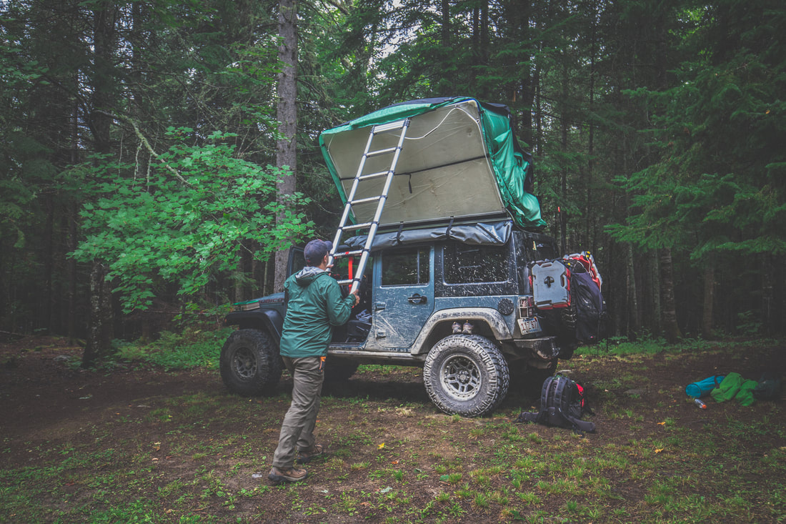
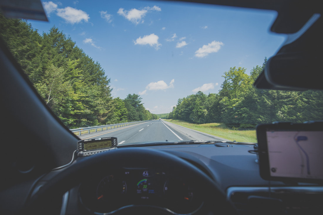
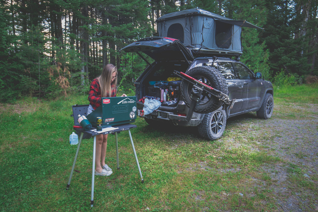
I awoke around 2 AM to torrential rain pouring down, each drop making that soothing sound on the hardshell tent’s molded roof. By the time we got up the next morning the campsite was absolutely soaked and the air had a chill that was unexpected for mid-August in New England. Throwing on a jacket and my trusty trail runner footwear I climbed down the ladder from the Jeep’s roof and faced the day. Others in the camp were also waking up, noises and voices growing in that familiar way that campsites come to life every morning.
I awoke around 2 AM to torrential rain pouring down, each drop making that soothing sound on the hardshell tent’s molded roof. By the time we got up the next morning the campsite was absolutely soaked and the air had a chill that was unexpected for mid-August in New England. Throwing on a jacket and my trusty trail runner footwear I climbed down the ladder from the Jeep’s roof and faced the day. Others in the camp were also waking up, noises and voices growing in that familiar way that campsites come to life every morning.
Breaking Down Camp
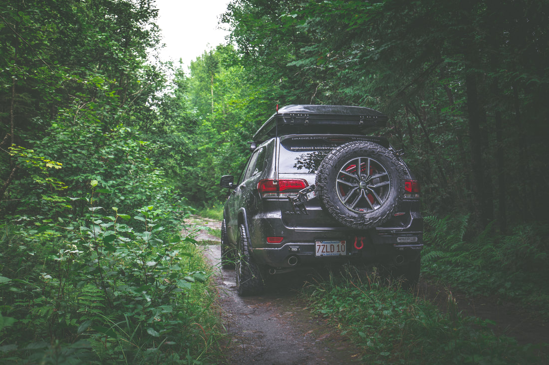
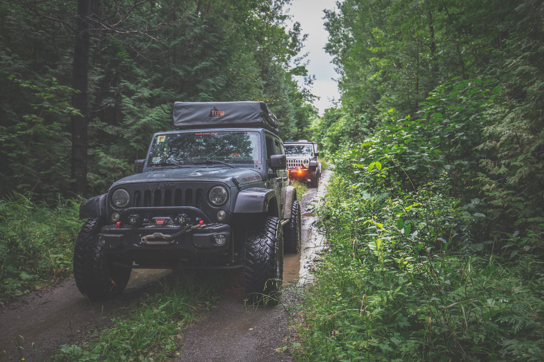
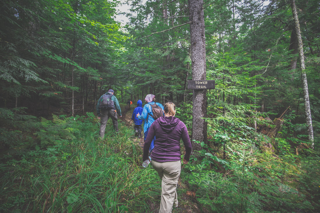
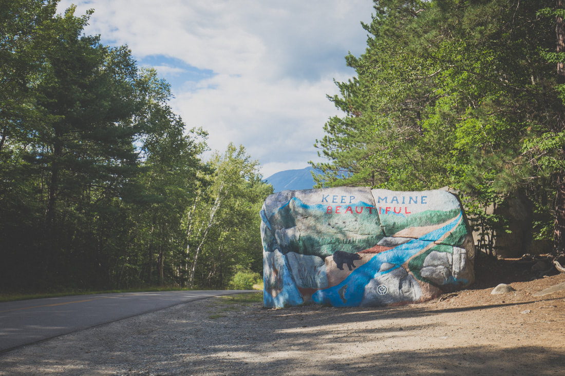
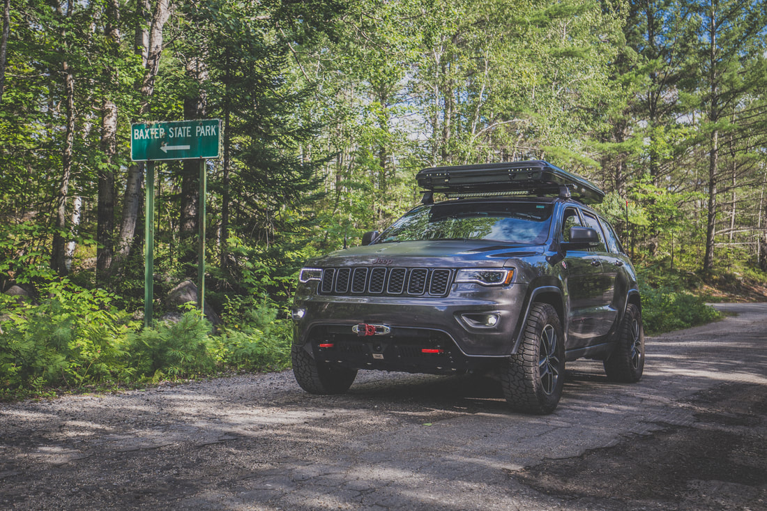
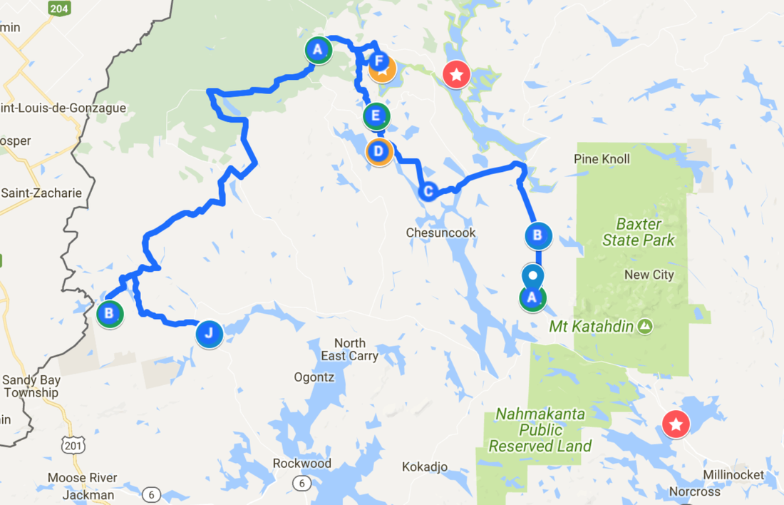
The plan for the day wasn’t overly drawn out… a handful of options had been presented in the pre-trip itinerary, and over breakfast we chose to hike the nearby Allagash Mountain. Tents and stoves were packed up and put away as Bob’s kids ran around with the dogs, and by 09h30 we were rolling out towards our next adventure. The trailhead itself was located just a few miles down a narrow dirt road that strategically began directly across the road from our Round Pond campsite. Dani and I lead the way in the Trailhawk as the four other vehicles fell in line behind us, tall wet grass sliding underneath the vehicle’s skid plates as we drove through the woods, our surroundings eerily dark and vividly green as a result of the overcast skies above. Parking just shy of a wide metal gate in a makeshift lot where the fire road ended, we gathered up backpacks and water bottles before beginning the hike. Shaun wasn’t feeling well, and hunkered down in their teardrop trailer with a handheld radio to sleep while the rest of the group began down the trail.
Ledge Road Trail
Ledge Road Trail
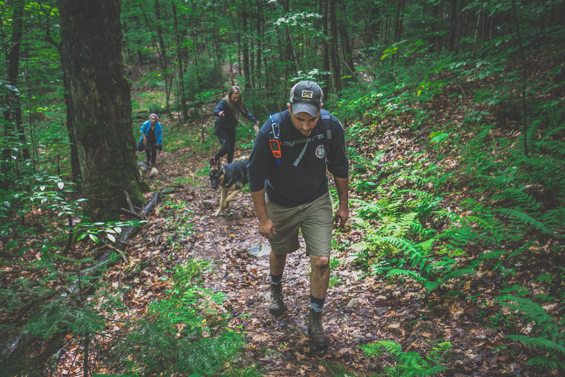
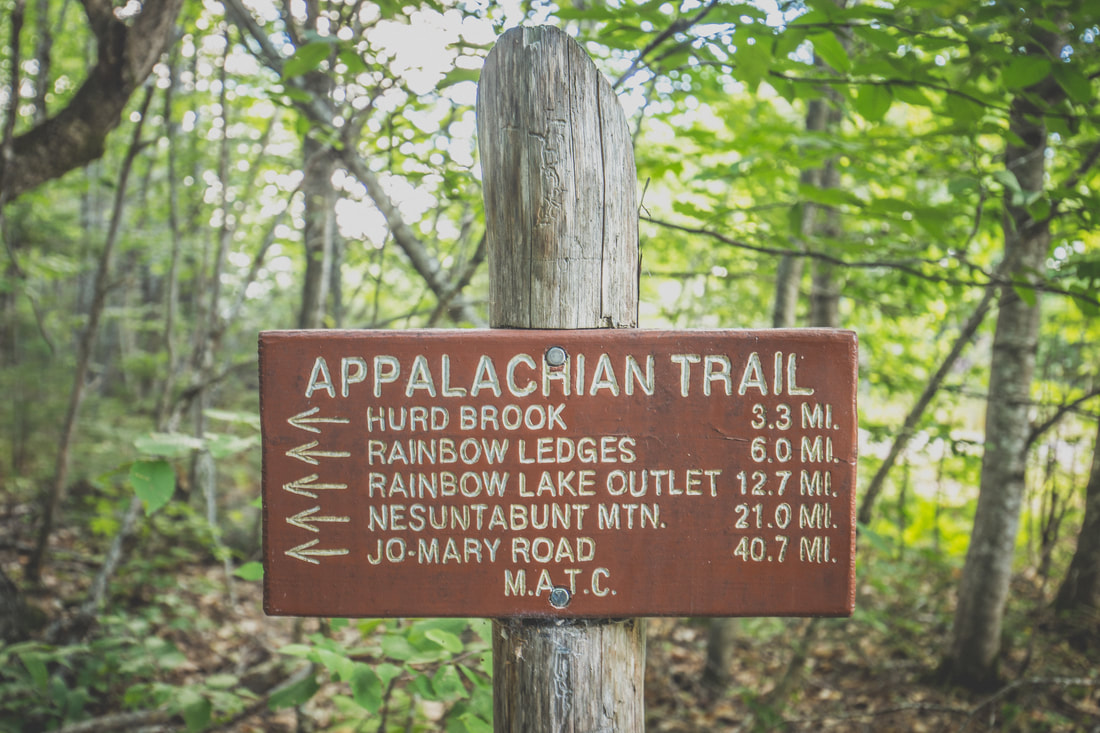
Allagash Mountain stands 1,770-feet tall and features a thousand feet of elevation gain during its ascent. Round trip the route was in the ballpark of 5 miles, and the summit would feature an old fire tower facilitating views of the entire region. Claude and Ben led the way with Bob and Jessica in tow, while Jenny, Dani, Brendan and I brought up the back. The trail started off relatively level down the remainder of the gated fire road before running straight into the backyard of the otherwise undiscoverable Ranger Station at Allagash Lake, nestled into the woods with gorgeous views of the lake’s waters. From there we turned back into the forest and began the upwards climb, gradual at first before becoming a steep final pitch that left us scrambling up wet rocks and grabbing at tree trunks to maintain balance before emerging to a cleared summit.
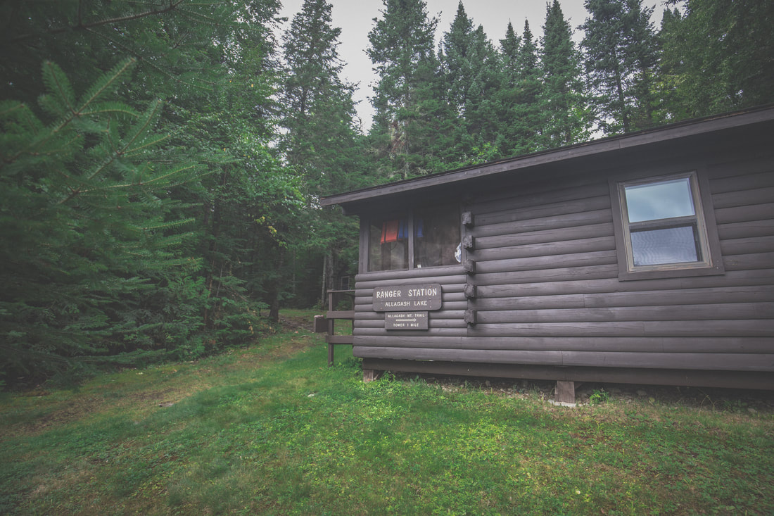 Allagash Ranger Station | 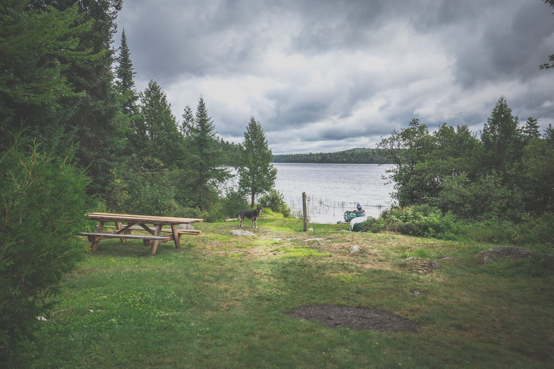 Views of Allagash Lake |
 |  |
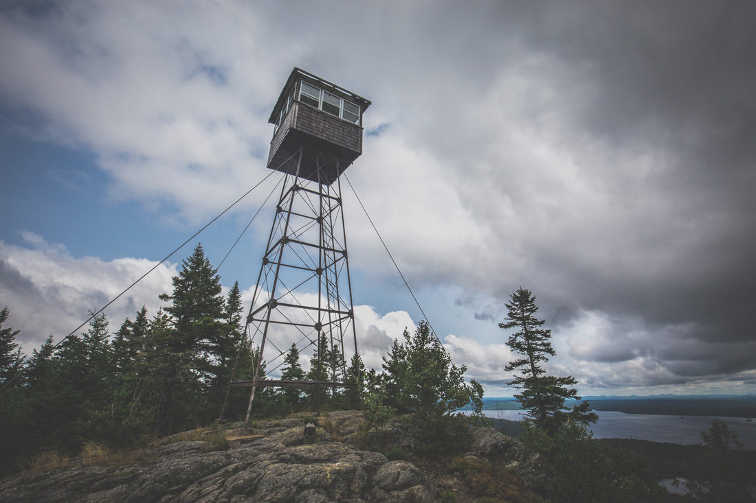
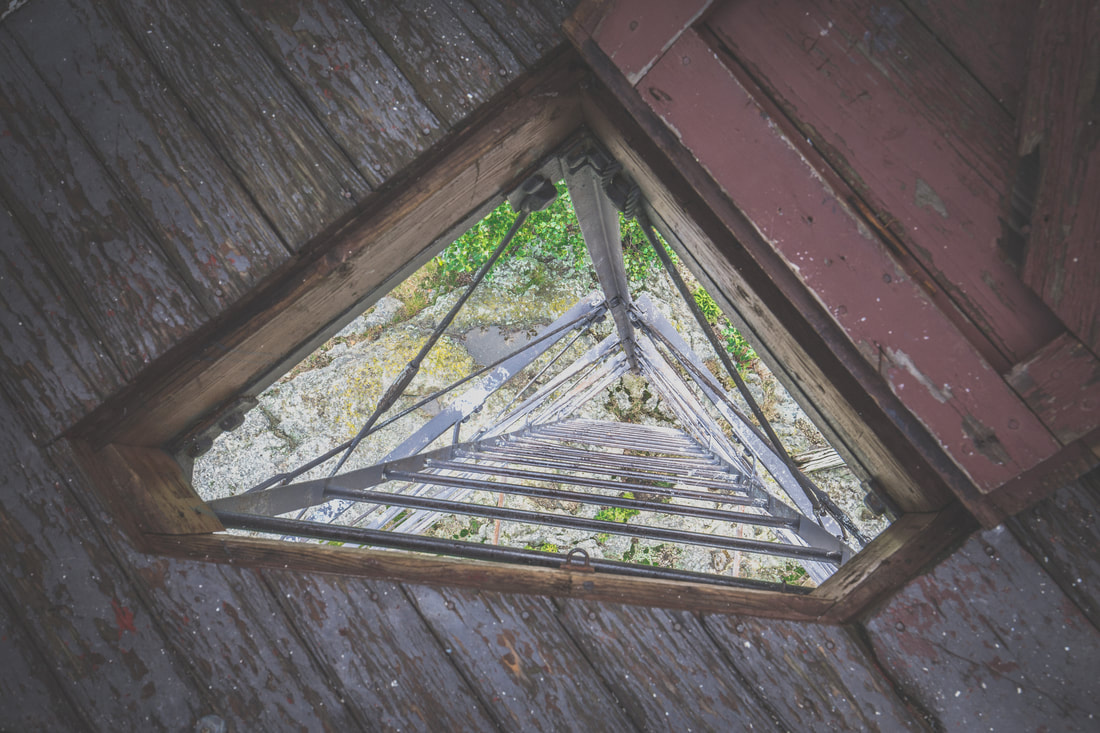
The Allagash Mountain fire tower stood proudly atop the mountain, reminding me of dozens of peaks with the same adornments that were strewn throughout the Appalachian Trail. A strong breeze was moving clouds above us and the morning sun had burned off most of the fog while we were climbing. As the group wandered around, took photos, and enjoyed the view, Brendan and I climbed the narrow ladder up the fire tower itself to see what was inside. Squeezing through a narrow door hinged to the floor of the structure we found old topographical maps, a tiny stove, and what appeared to be an old telegraph/morse code key (I may be wildly wrong, but it truly appeared to be such a device!). I snapped some photos as Brendan consulted the topo map and pointed out at Canada to our west and Katahdin to our south, then we carefully descended the ladder back down to the rocky surface of the summit.
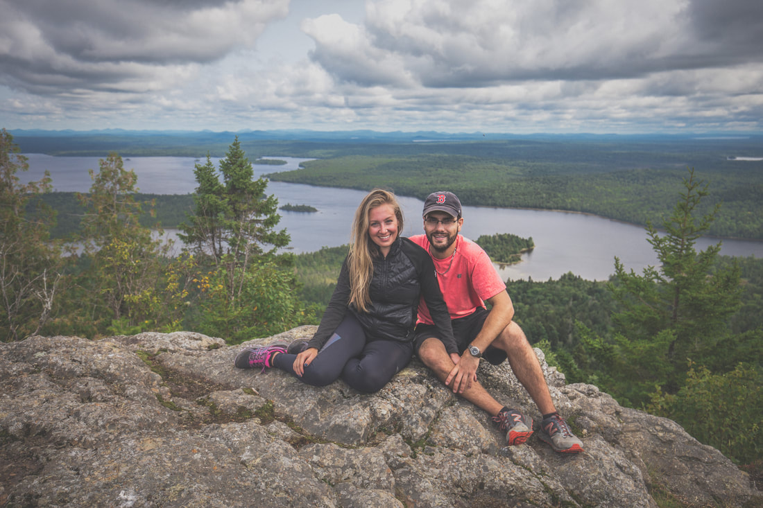
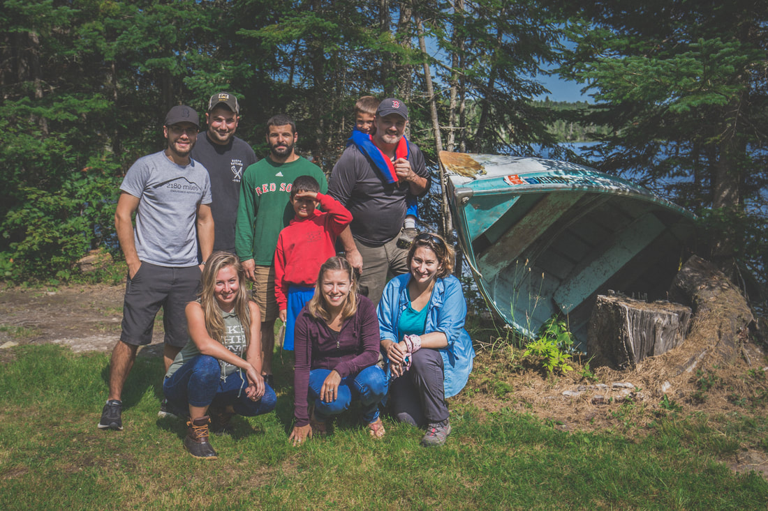
Wedging my camera into a crevice of granite I was able to snap a group photo before we headed back down the mountain. The initial descent was even more difficult than climbing up, with wet rocks and fallen leaves making for less than ideal conditions and sketchy steps forward. The group took just over an hour to get down, having paused briefly for a few slips and falls, and found Shaun drinking a cider in his camp chair next to their Jeep.
The Allagash Mountain fire tower stood proudly atop the mountain, reminding me of dozens of peaks with the same adornments that were strewn throughout the Appalachian Trail. A strong breeze was moving clouds above us and the morning sun had burned off most of the fog while we were climbing. As the group wandered around, took photos, and enjoyed the view, Brendan and I climbed the narrow ladder up the fire tower itself to see what was inside. Squeezing through a narrow door hinged to the floor of the structure we found old topographical maps, a tiny stove, and what appeared to be an old telegraph/morse code key (I may be wildly wrong, but it truly appeared to be such a device!). I snapped some photos as Brendan consulted the topo map and pointed out at Canada to our west and Katahdin to our south, then we carefully descended the ladder back down to the rocky surface of the summit.
Wedging my camera into a crevice of granite I was able to snap a group photo before we headed back down the mountain. The initial descent was even more difficult than climbing up, with wet rocks and fallen leaves making for less than ideal conditions and sketchy steps forward. The group took just over an hour to get down, having paused briefly for a few slips and falls, and found Shaun drinking a cider in his camp chair next to their Jeep.
Allagash Mountain Fire Tower
 Inside The Fire Tower | 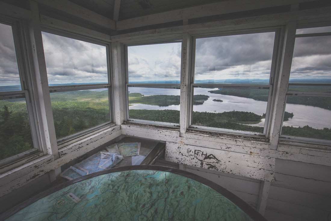 Fire Tower Views |
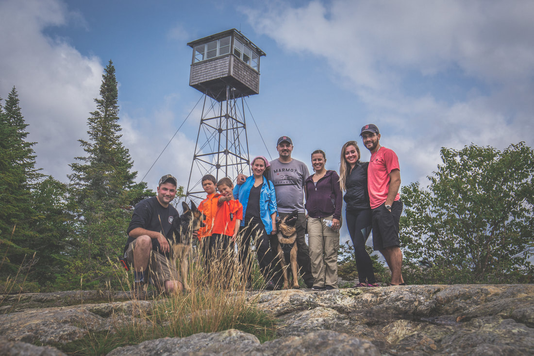
Allagash Mountain Climbers
Our drive from the makeshift parking lot to our anticipated campsite at Wadleigh Beach was only supposed to be 11 miles. Rolling out through the fire trail we turned back onto the wider and more maintained roads, increasing our speed and taking in the scenery and warm afternoon air. Dani and I were leading the way when out of nowhere a young moose darted across the road a few hundred feet in front of us. Before I could reach for the Ham radio to call it in to the rest of the group behind us, the huge animal had disappeared into the woods on the other side of the road. I came to a full stop, anticipating another one or two to follow across the road, but unfortunately none appeared.
A half hour or so later we arrived at the campsite that Brendan and I had chosen months prior, only to find it happily occupied by a few vehicles with a handful of people down by the lake. We pulled the vehicles off the side of the road, constantly aware of the possibility for a fully loaded logging truck to come flying down the road at any given moment, and laid out our paper maps across the hood of Jenny’s Jeep in search of a new place to spend the night.
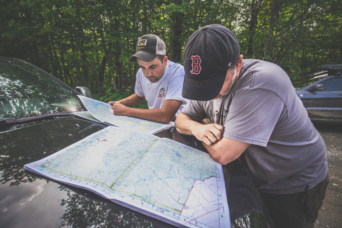 Consulting The Map | 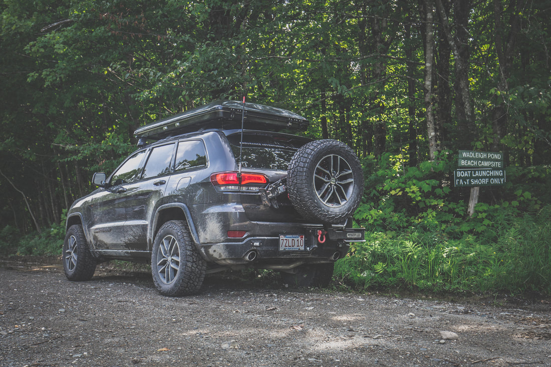 Wadleigh Trail Road |
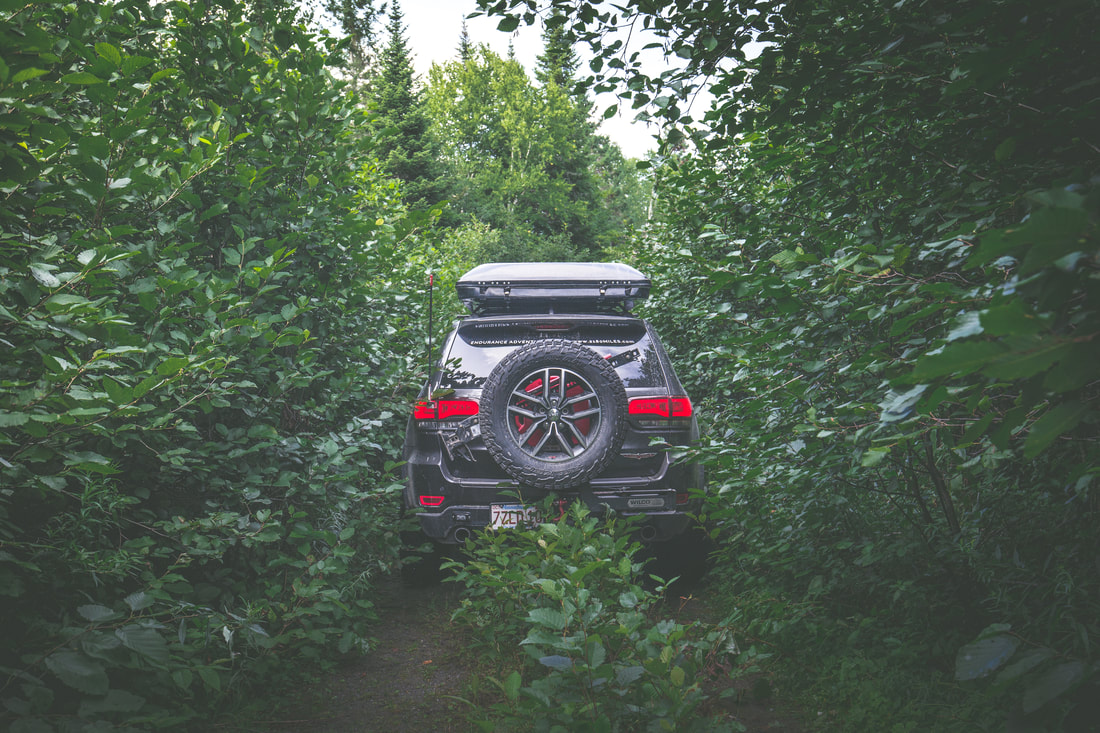
Tight Squeeze
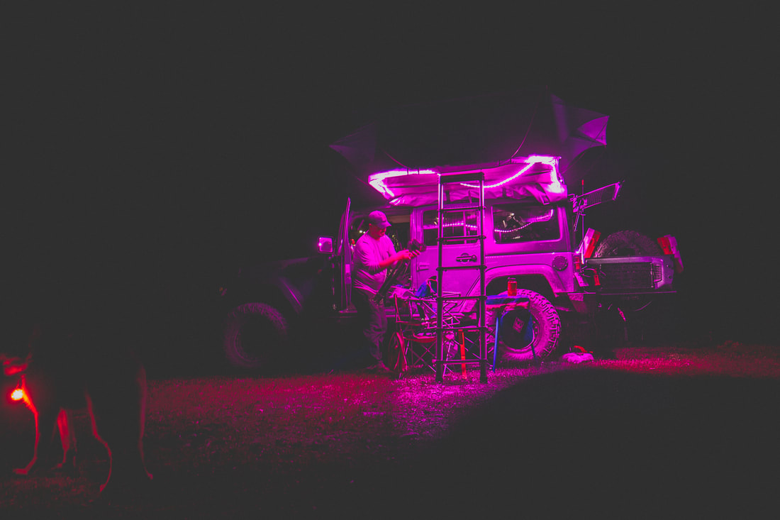
Lucky for us after inadvertently splitting up, dead ends and u-turns down decades old overgrown trails, and some sketchy radio communications, we all arrived at a quiet campsite nestled right alongside Saint Francis Lake. Dinner was family style taco night, a crowd favorite and pretty much trip tradition at this point, and was followed by smores over the campfire. The night rolled on as a handful of people went to bed, a few of us staying up late drinking bourbon under a vast and brilliant starry sky while Freebird and other instantly recognizable rock songs played on into the night.
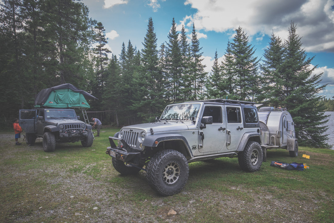
Setting Up Camp
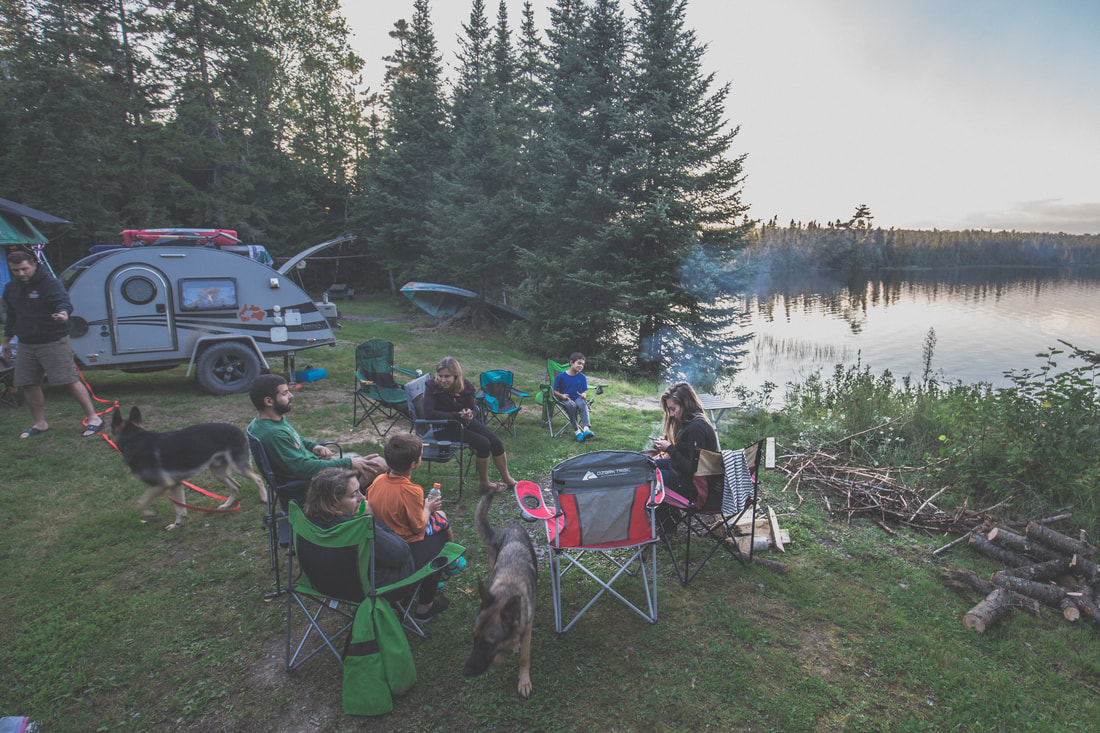
Gathered Around The Fire
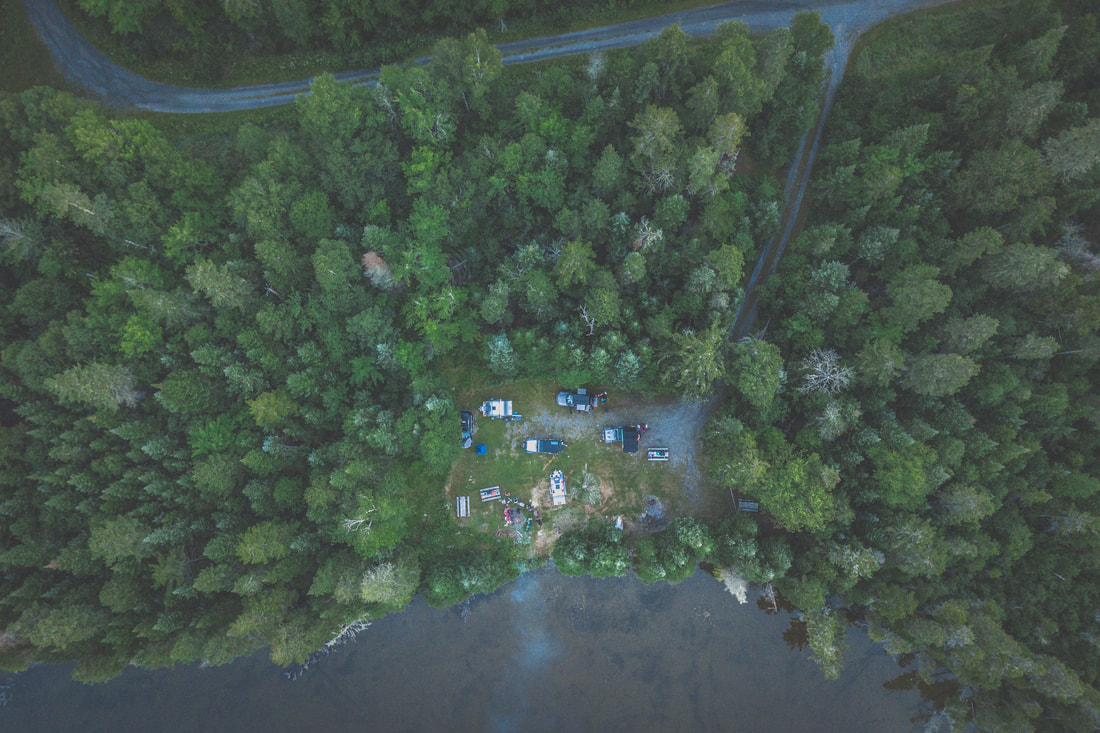
Aerial View of Camp
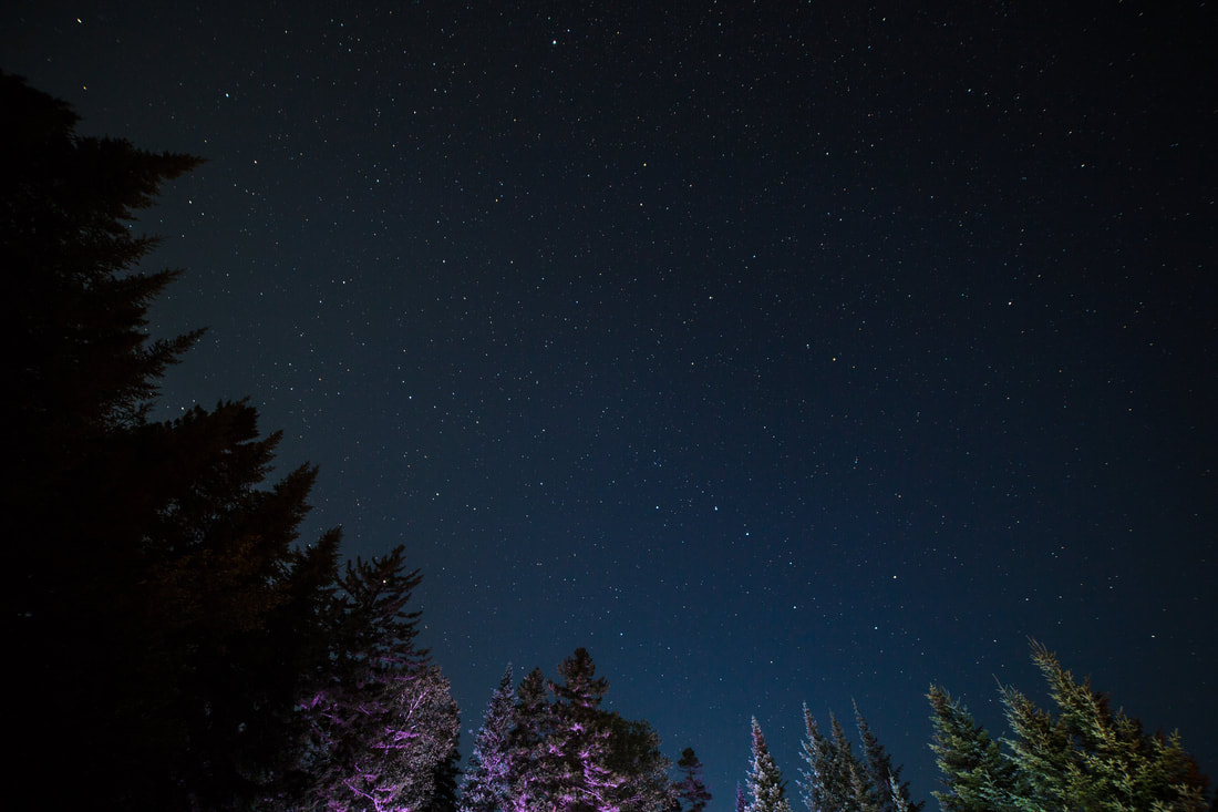
Starry Skies Over St. Francis


 RSS Feed
