Day mileage: 23.7
AT total mileage: 1,368
Time: 8 hours
--
The mosquitoes last night at the Pochuck Mountain shelter were bad enough to drive Pneumo to set his tent in the middle of the night. Despite the lingering humidity, I forced myself to cocoon inside my sleeping bag liner in order to avoid being eaten alive by these little flying bloodsuckers, and as such got a horrible night of sleep. All in all, considering I'm spending most nights sleeping in 3-sided wood floored lean-tos with complete strangers, I suppose a bad night of sleep here and there isn't totally out of line. I awoke per usual around 5 AM and debated going back to sleep. The mileage today was low, and the terrain wasn't to be exceptionally difficult. It was around this time that Tater, one of the retired section-hiking women, woke up and we began chatting. A true adventurer, Tater is out hiking with her friend K2 quite recently after a knee replacement, after climbing in Machu Picchu, and racing sailboats. I told her about cycling cross country, and my interest in continued adventures. Exchanging email addresses, we parted ways as rain began falling from the still cloudy skies.
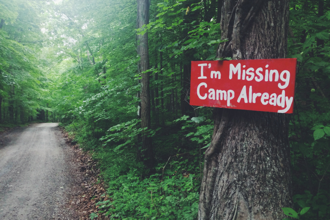
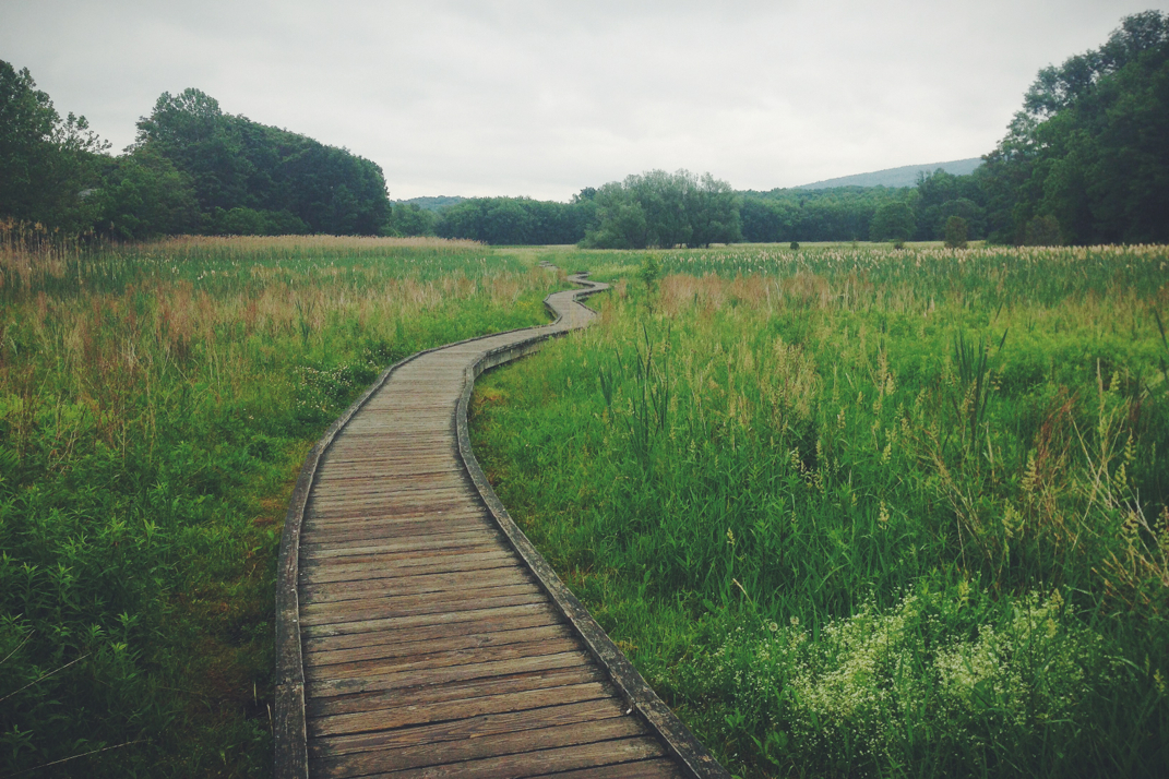
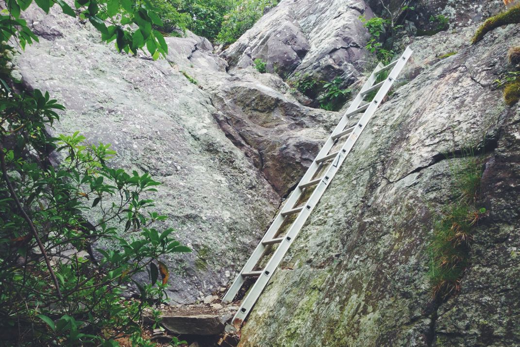
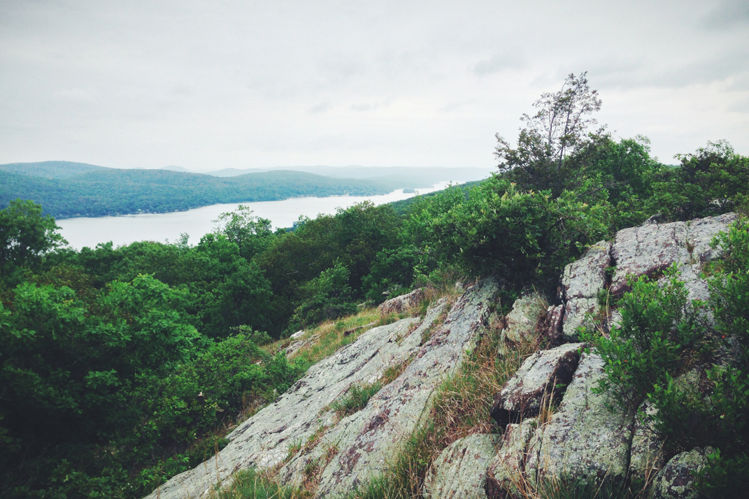
The first three miles of trail would allow us to summit Pochuck Mountain, but only after throwing some steep and rocky climbs at us first thing in the morning. As I know I've discussed, rocks aren't that bad to hike with. It's only when the rain mixes in that things get tricky, as they were this morning. Cautiously climbing up and over the summit, we began a descent down into the valley on the other side of the ridge. Passing over a few dirt roads, including one to a kids summer camp, we got down to county road 517, where Pneumo and I would part ways. He needed to get to the post office of a local town in order to work on getting his passport renewed and also to pick up a mail drop of food. With no need to go the two miles out of the way, I carried on with my hike. The two miles after 517's road crossing were comprised of gorgeous boardwalks spanning over conservation land. Despite the rain continuing to lightly fall, I enjoyed the views and walked somewhat slowly across the two miles, crossing a suspension bridge built for the pedestrian walkway, and watching Orioles fly about between trees. Eventually coming to the end of the boardwalk, I crossed through a farm pasture, over a railroad track, and across another state road before beginning a mile and a half climb of a thousand feet up into the next ridgeline. The light rain continued, mixed with heavier bits at times, which made the very rocky ascent a bit more difficult. I met a few southbound section hikers as I climbed up to the peak of Waywayanda Vista. I summited and hiked in a few more miles to the Waywayanda shelter where I ate lunch alone before continuing on.
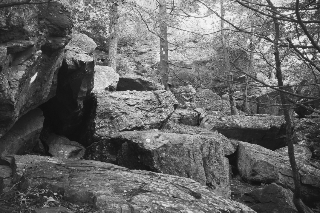
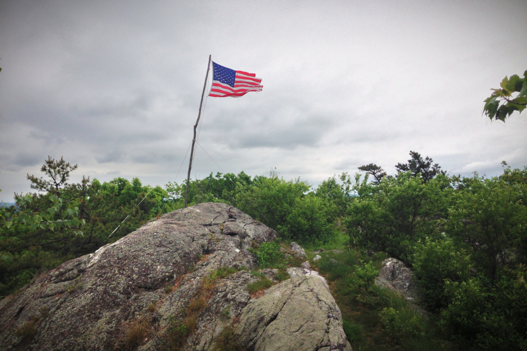
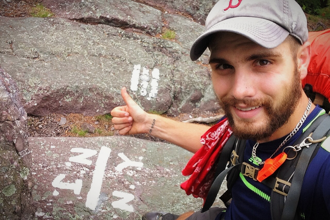
The afternoon was comprised of some hilly sections of trail, mostly deep in the woods until it climbed out and began being higher up along rocky ridges. At 1430hrs or so, Appalachian Trail mile 1,362 crossed me from New Jersey into New York. Taking a difficult photo at the spray painted rock depicting the state line, I hiked on, one state closer to Katahdin. The A.T. Guide sums up the miles after the state line well, stating "Despite the unimposing profile of terrain, rocks, and abrupt ups & downs make this section extremely challenging". For once, the book didn't lie. Miles of trail were comprised of hand over hand scrambling over boulders atop the ridge line. It was actually quite fun, as the rain had stopped and the sun was trying to peek through the grey skies. Half a mile past the state line, the Appalachian Trail reached its highest point on the trail in NY atop Prospect Rock, elevation 1,385', marked with an American flag atop a pole. On a clear day, it's possible to see the New York City skyline from this vantage point, but the clouds weren'T going to allow that to happen. After the miles of rocky terrain the trail turned downwards back into the woods. I was exceptionally thirsty at this point, but hesitated to drink the water (even after filtering) from the streams running off the mountain. The water color was literally a rusty looking reddish orange, which despite thirst was in no way appetizing. I had heard there was trail magic water at one of the next road crossings, so I waited until then to get water. Crossing NY 17A, I got a liter of water to hold me over. It was only two miles further to the Wildcat shelter, where my plan was to spend the night.
1,368 miles into the Appalachian Trail has hiked me through 8 full states, leaving me now in my 9th with only 5 left. Katahdin is still just over 800 miles away, but the thrill of the chase is certainly still present. The weather is supposed to stay overcast and rainy for the next few days, but I'm hoping to make the most of it. The New York section is rather short, and Connecticut will be within reach by next Monday. Until then, cross your fingers that sunshine returns to the trail in the near future, if you don't mind.
Onward & upward,
Texaco




 RSS Feed
