Day: 27
Day mileage: 15
AT total mileage: 383.7
Time: 6.5 hours
--
Last night's most challenging moment was when I had to pee around 2 am. In a tent or normal shelter this isn't a huge issue, but I was in a bunk-style section of the small shelter. Sharing a 4x6' bunk with Soleil, each of us with an inflatable air mattress and our sleeping bags, making it very difficult for me to get out of my bag and down the ladder without waking her up. Regardless, with my LED headlamp turned to the red light setting, designed to not wake others up, I pulled it off and got back into bed to finish my night's sleep. The people-crammed shelter woke up around 7 and everyone hopped up to get a start on the day while the weather wasn't horrible. I'm not sure if any severe storms came through last night, but there was certainly heavy precipitation and wind throughout the night.
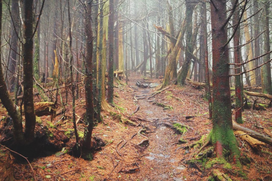
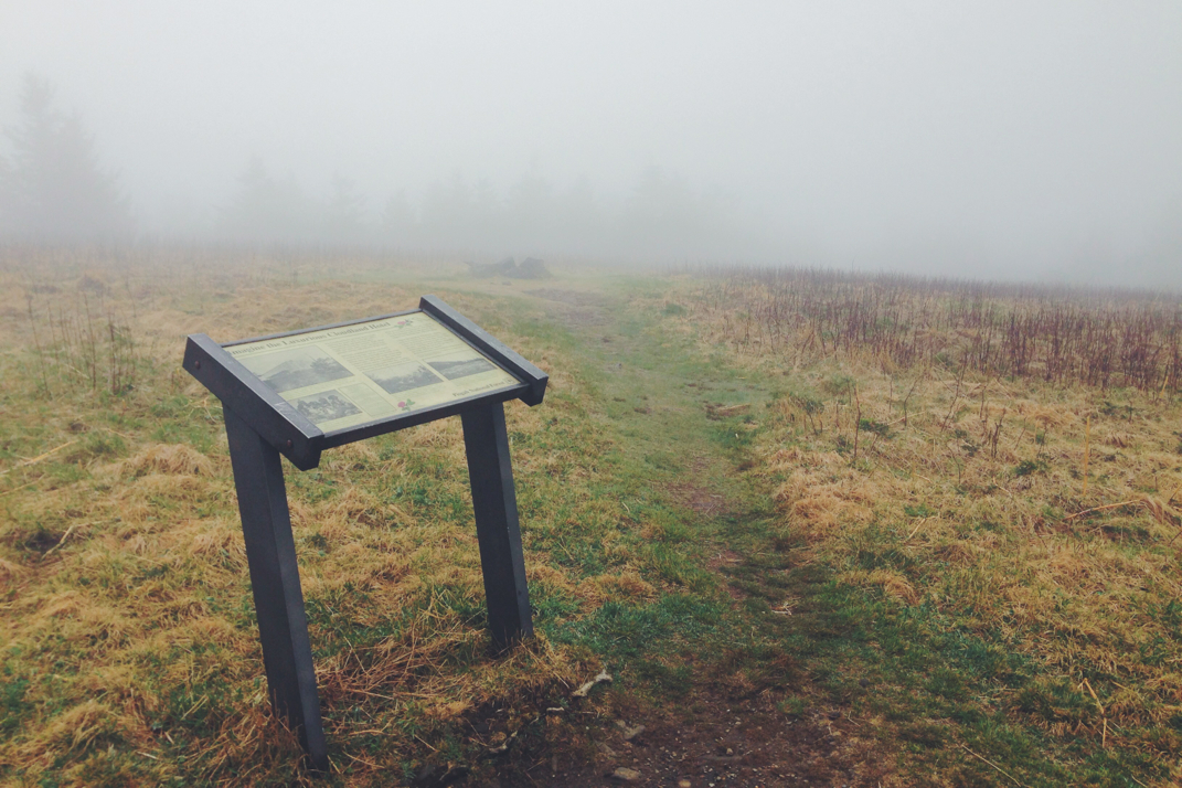
I hit the trail around 8 am, and climbed out of the plot of land the shelter was built on. The plan for today was to summit Roan Mountain, elevation 6,200 feet, despite the threat of continued bad weather. Interestingly enough, Roan will be the highest mountain the Appalachian Trail will climb until it traverses Mount Washington in New Hampshire. The first three miles of trail today included a rather steep climb at one point, then dropping down to Hughes Gap Road before beginning the four mile, two thousand foot climb up to the summit of Roan. The first half of the ascent was comprised of great switchbacks in a wooded mountain forest with some incredibly strong occasional gusts of wind. There was a point about half way up the mountain when I crossed above cloud cover, with winds picking up, precipitation coming and going, and temperatures dropping. The surroundings also changed at this point with the trail becoming steeper and more interestingly, the trees returned to the Pacific Northwest feel with everything cold, damp, and mossy. The fog was blowing through, and it took another hour of climbing to reach the top of the mountain. As the trail crested the summit, it opened up to a massive plateau. Many hikers continued on to the Roan High Knob Shelter, but I turned into the 50+ mph winds to explore the open field. Having read about it beforehand, I knew that this large opening once was home to a top of the line hotel in the late 19th century. Literally bracing myself against the wind with a historical sign post, I was able to read about the 'Luxurious Cloudland Hotel' which crowned Roan Mountain for about 60 years before it was disassembled and the interior pieces sold off. Despite the wind that tore my hat off my head, it was amazing to stand there and imagine a building once standing proud atop this mountain.
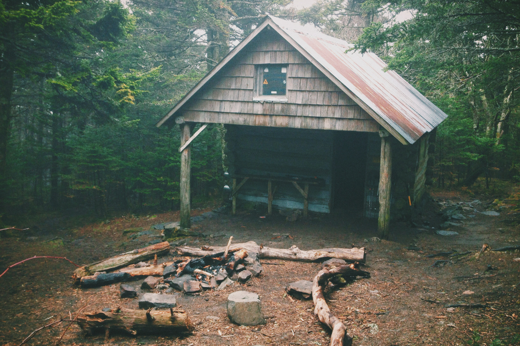
Only able to withstand the cold for 10 minutes or so, taking photographs and even a video of the area, I headed a mile down to the mountain's shelter. The Roan High Knob Shelter is the highest shelter on the entire trail, and is a fully enclosed building with a complete second floor to keep hikers out of the oftentimes harsh elements. I ate lunch there with many of the hikers from last night's shelter including Aquaman, Tiptoes, Soleil, JPEG, Achilles, and Whitey. We were also joined by Einstein and his dog 'Babygirl'. Einstein is likely a homeless hiker along the same lines as the infamous Carver, classified under a title I've created called 'Perma-Hiker' short for 'permanent-hiker' (this word has actually caught on, and I've heard other hikers using it). We ate lunch with the door to the shelter closed, protected from the winds and rain. I hit the trail about half an hour later and enjoyed a rather wet but easy downhill to a road crossing 1,000 feet below. During the descent I passed under the cloud cover, and was protected from the wind via the back side of the mountain. Right before the lowest point in the gap there was a cooler of trail magic for hikers including pretzels, clementines, and white chocolate raisin cookies... All of which were delicious. Tigger & I left a thank you note in the cooler before continuing on.
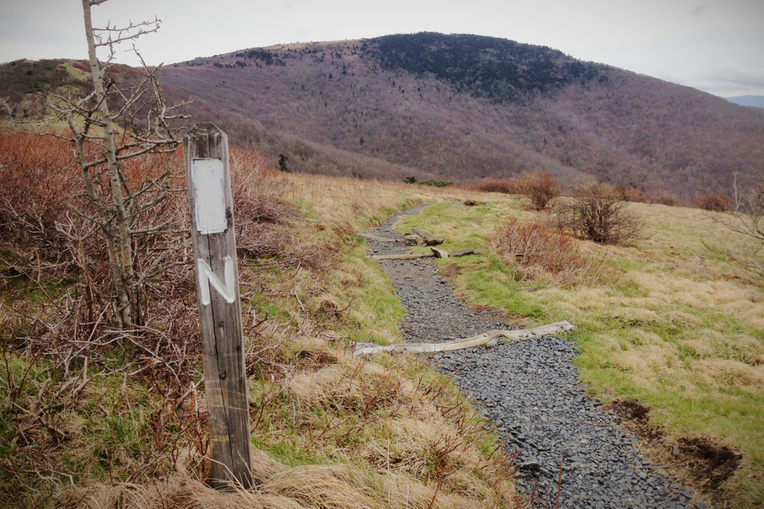
The next few miles of the Trail could be some of the most challenging I've hiked this far, not due to elevation gain, but due to weather. Four miles of the A.T. cross over the completely exposed ridges of several bald mountains, putting me up against the correctly forecasted 'gale force winds'. I spent these miles walking with both trekking poles pressed downwind of me in an attempt to keep my body vertical. I kid you not, the wind was blowing me sideways and almost entirely off the trail. The sheer volume of my backpack was large enough to catch the wind and toss me around without much effort. It took a lot of work on my part to stay both vertical and on track... It was exhausting. After these miles the trail climbed up to higher balds still exposed to wind, although to a lesser degree. Eventually the trail turned into the protection of the woods, and meandered downhill for a few miles. I hiked for quite a while with Moe, talking about cars and his annual trip with his wife to destinations around the country in their C5 Corvette. An great guy in his mid 60s, he's working to be in Harper's Ferry (the Appalachian Trail's halfway point) before June 12th in order to get home and organize things for his big family 4th of July party. We walked for a short time before coming across an open field with a sign pointing to the shelter I planned to spend the night at. The day went by quickly as we arrived at the Overmountain Shelter at 1530hrs.
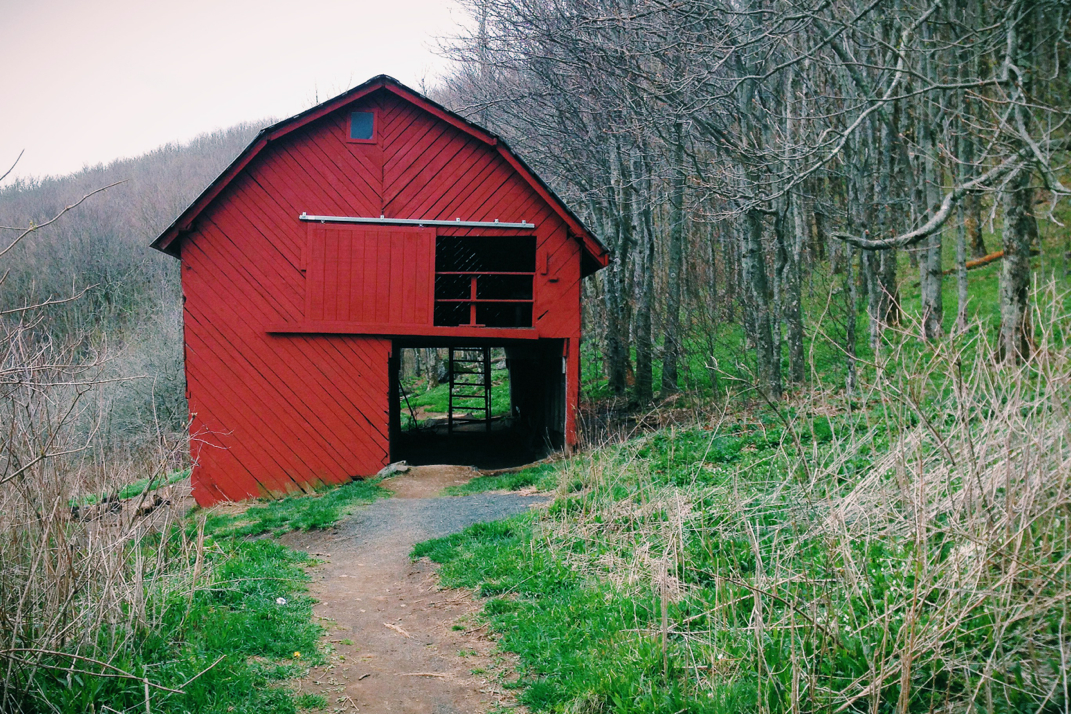
Overmountain, as I'd mentioned yesterday, is a rather famous shelter on the Appalachian Trail. Instead of being a normal lean-to structure it's an old rickety red Gambrel barn measuring in at 20x50', with an open first floor for cooking and an enclosed second floor to accommodate 30 or more hikers if necessary. While the walls aren't completely closed in, most planks with 2-3" between them to allow light in, the structure will still protect hikers from the elements. Almost all of the group from last night at here, and were sprawled out across the wooden floor of this great building. Come morning, the valley the barn overlooks will be a perfect backdrop for a gorgeous sunset. The site the barn is built on is famous from during the Revolutionary War where local militia fought the British in a bloody battle and won in September of 1780.
Hopefully by this point the weather has passed, and hiking for the next few days will be uneventful. Looking at the A.T. Guide (written & updated annually by thru-hiker David 'AWOL' Miller) that almost every hiker uses, the next few days should put me in Virginia by Monday... A very exciting prospect. It's dark pretty early in the barn, and I'm more than ready for sleep. It's strange to think I'm coming up on nearly a month on the trail. Leaves me with lots to think about. Hopefully some time soon I'll have cell service to post the past few days of blogs...
With an abundance of wind in my sails,
Texaco



 RSS Feed
